SBC Bike Lane Fest 2025-26: Northwest and West sides, including Irving Park, Avondale, Austin, and Logan Square

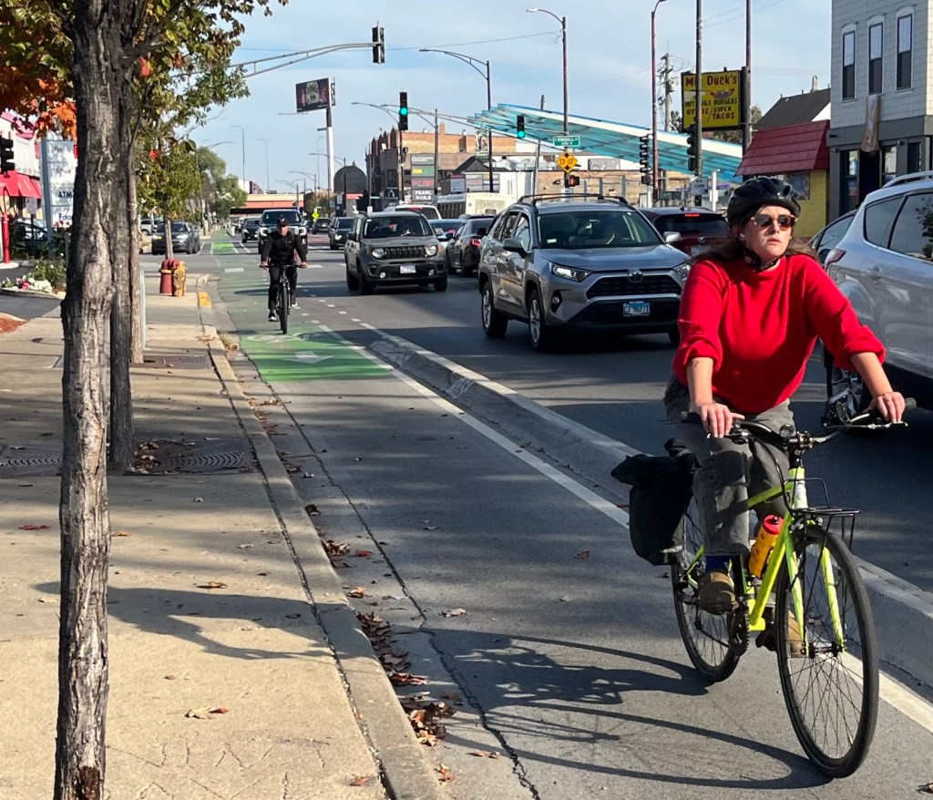
How’s it going, my fellow two-wheeled transportation fans? Last Saturday was another gorgeous fall day in Chicago, so I decided to serve myself one more hearty slice of the half-a-deep-dish-pizza that is our city sort of resembles, in what will probably be my penultimate recon session for SBC Bike Lane Fest 2025-26.
Regular readers of this series already know my methodology. If you are one of them, you can skip over the following explainer in italics, which is cut and pasted from last week’s post about the Far Northwest Side.
This website’s Map of 2025-26 CDOT Bikeway Installations, shown below, is based on the Chicago Department of Transportation’s Bikeways Installations Tracker spreadsheet. That document has not been refreshed since July 17, 2026, but I’m generally trying to stop by the sites of projects that are listed as “Upcoming Construction” or “In Construction,” as well as ones that have been “Installed,” to check on their current status.
In addition, you can take a look at CDOT Existing Bike Network Map, to get a sense of how the new facilities fit into the network. However, that map shows all bikeways that have been installed in modern history, while SBC’s map just shows the newer ones.
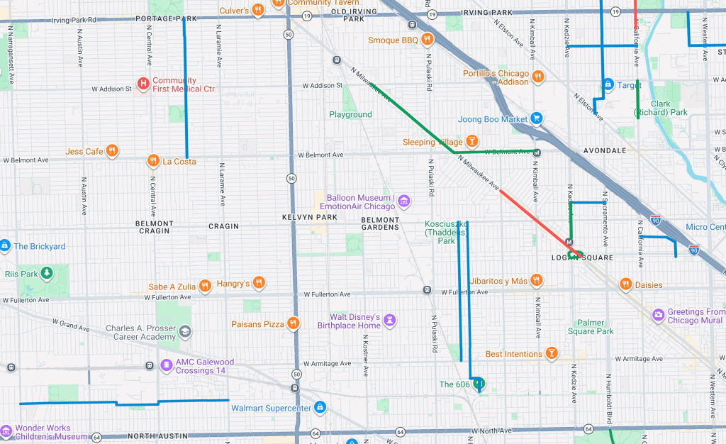
This latest excursion included parts of the Irving Park, Avondale, Austin, and Logan Square community areas on the Northwest and West sides. I covered the area bounded by Irving Park Road, Narragansett Avenue, North Avenue, Western Avenue, and the Kennedy Expressway. One project I already wrote about within this zone is the Long Avenue Neighborhood Greenway in Portage Park.
What follows basically a rundown of my travels on Saturday within that district, generally in chronological order. Actually let’s start with a snippet that’s not in in this area, since it’s a little north of the Kennedy. But I forgot to include it in my Mid North Side travelogue last Wednesday, so I snapped some photos on Saturday as I pedaled southwest from SBCHQ in Uptown.
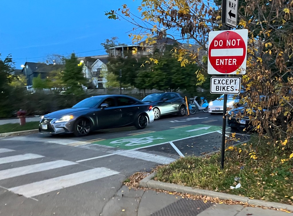
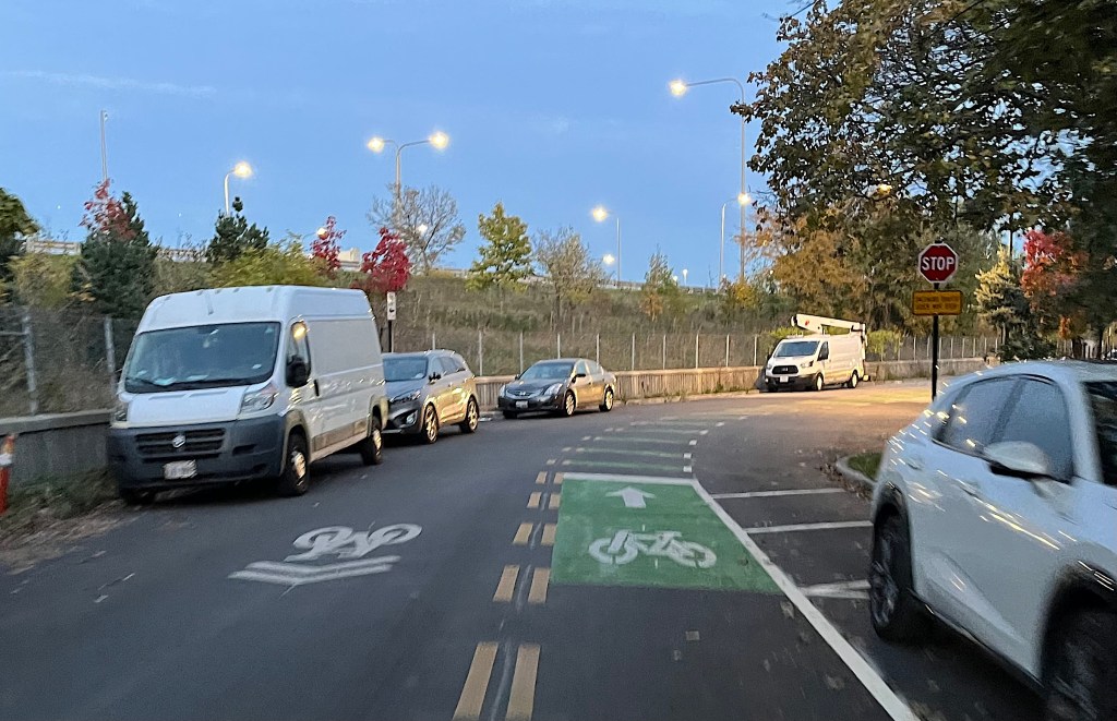
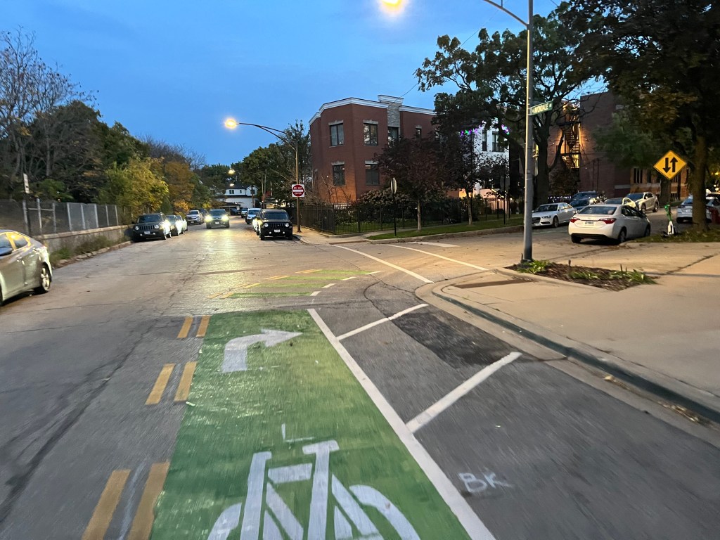
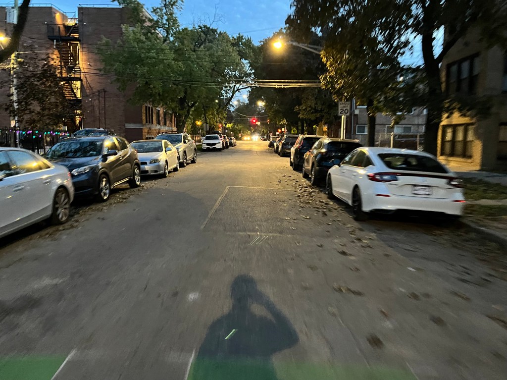
Grace Street Neighborhood Greenway in Irving Park
Belmont Avenue protected bike lanes in Avondale
CDOT previously installed game-changing protected bike lanes on Belmont for about a mile between the Blue Line station at Belmont/Kimball Avenue and Campbell Avenue. This recent project between Kimball and Milwaukee spreads the love west another half mile or so. I’m pretty sure I previously posted on social media a handlebar video of riding the new, at least partially finished, segment, but just in case, here’s the whole enchilada. (And if you want literal enchiladas on this stretch, I recommend Taqueria Mazamitla, 3610 W. Belmont Ave., visible in this clip at 2:00.)
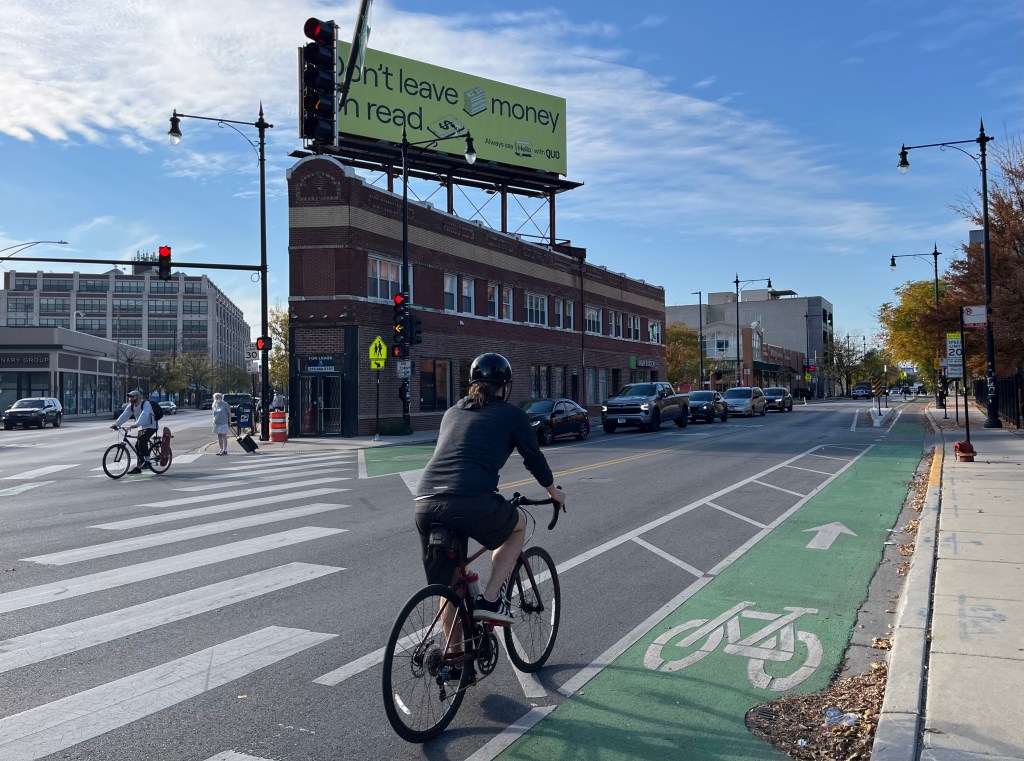
Milwaukee Avenue PBLs in Avondale and Irving Park
This new stretch of Milwaukee bikeways between Belmont and Addison Street is where PBLs resume on the “Hipster Highway” northwest-southeast commuting route. This segment is north of a gap in protection between Belmont and Wrightwood Avenue / Logan Boulevard. I’ll discuss that issue further later in this post.
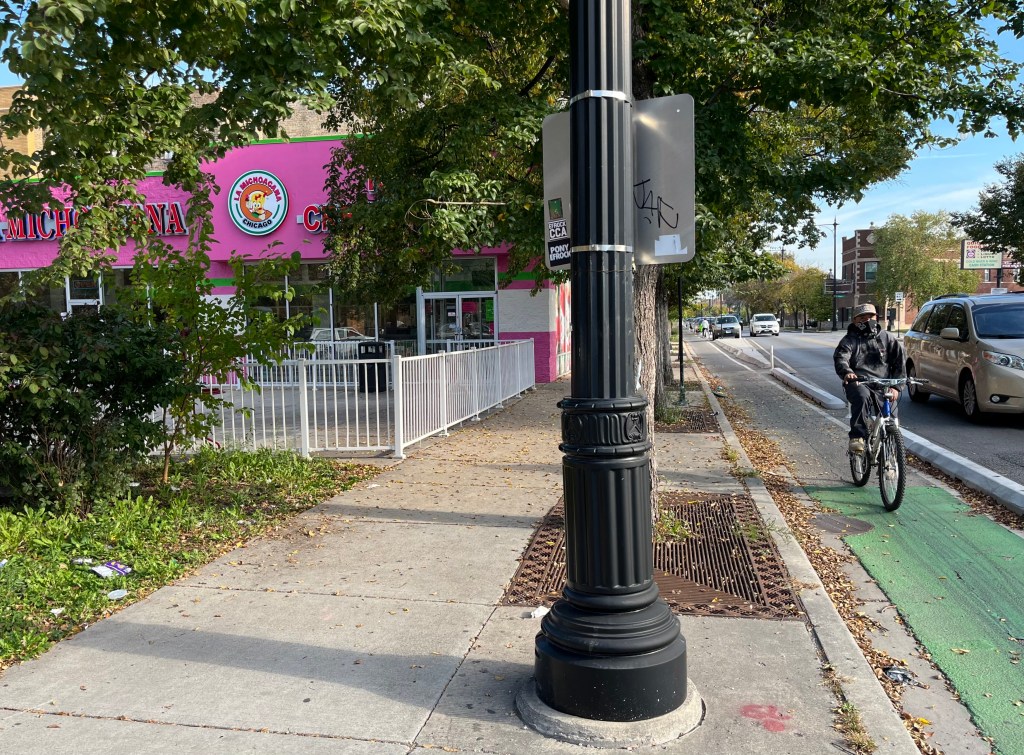
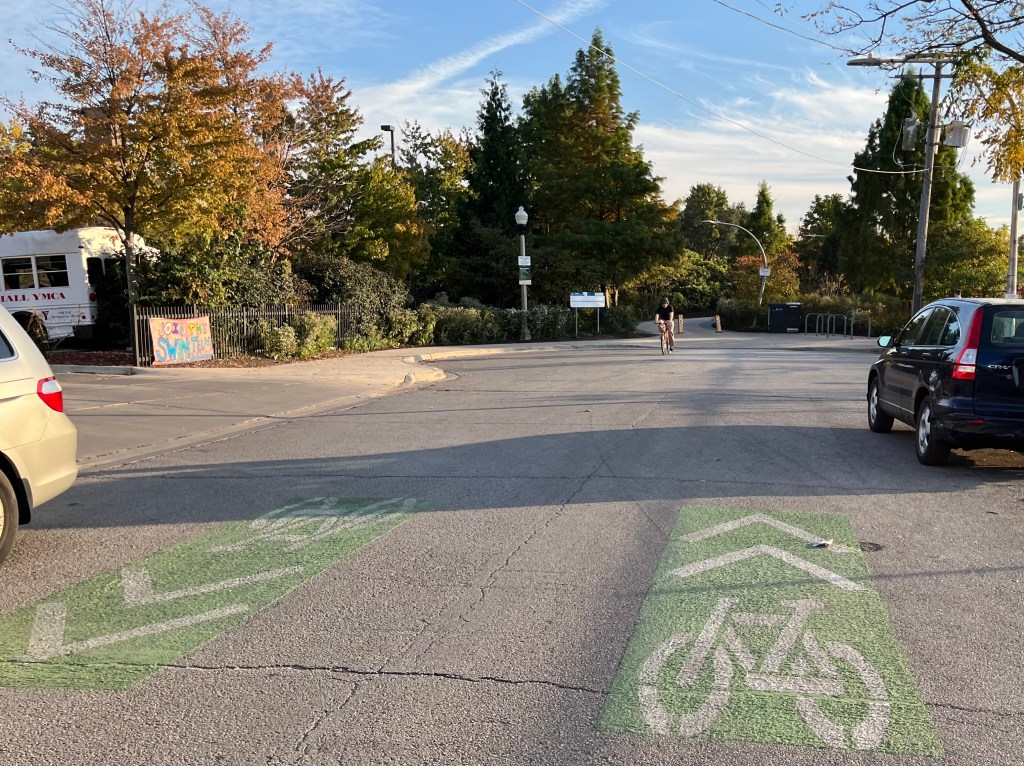
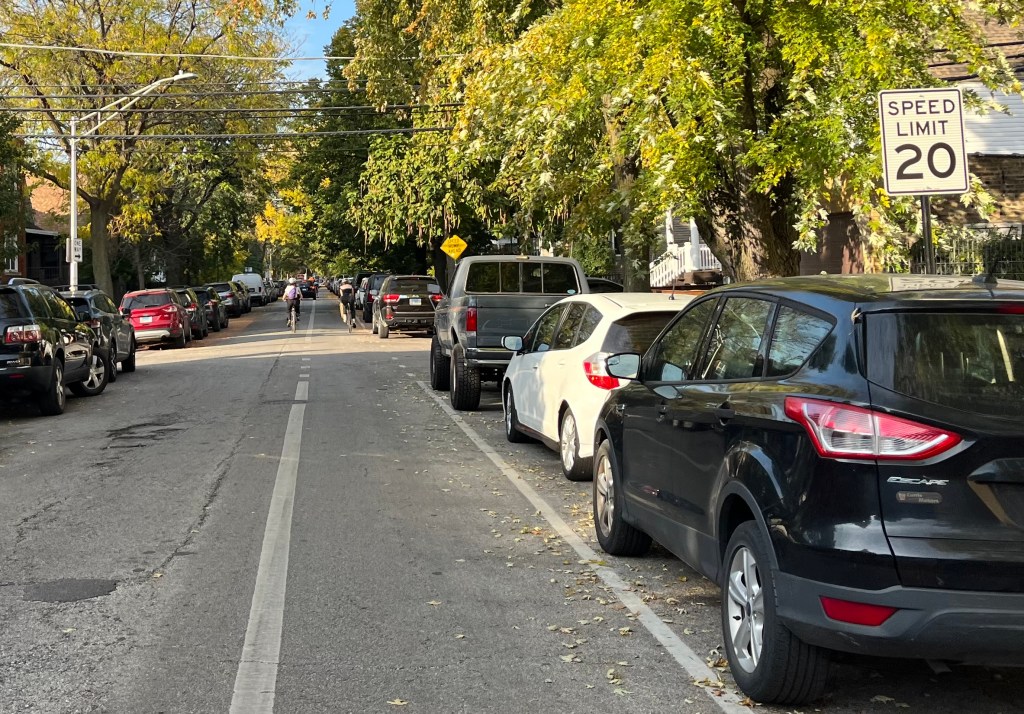
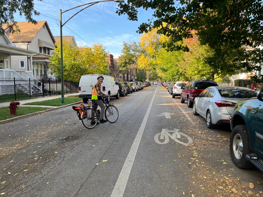
Avers and Hamlin avenues greenway couplet in Logan Square
These adjacent, parallel north-south streets lead between Diversey Avenue and the Bloomingdale Trail, aka The 606.
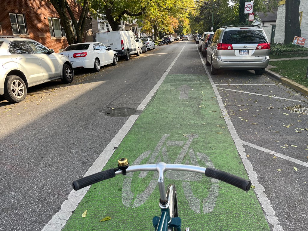
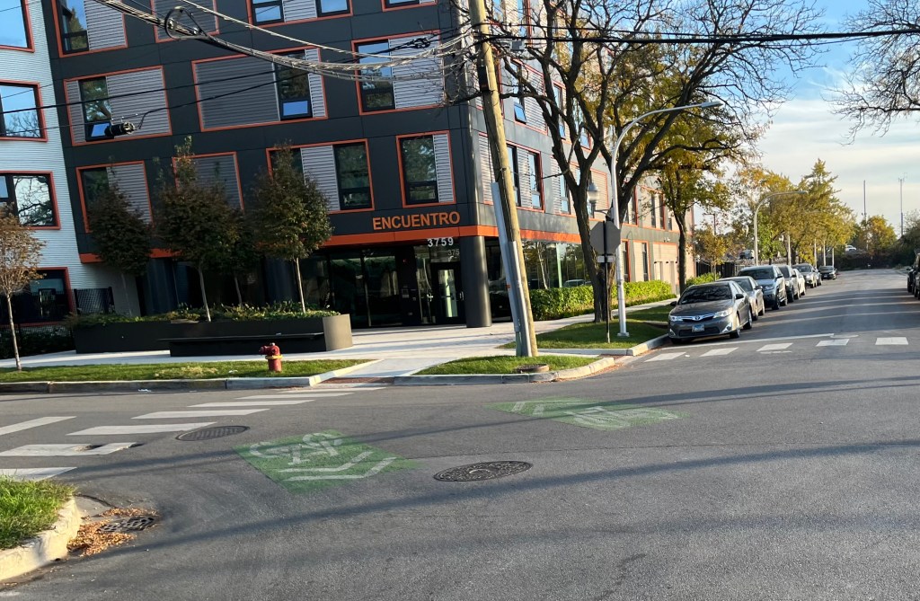
Bloomingdale Avenue Greenway in Austin
This runs between Laramie and Narragansett avenues as sort of a western extension of th Bloomingdale Trail, although it’s not possible to ride directly between the two bikeways.
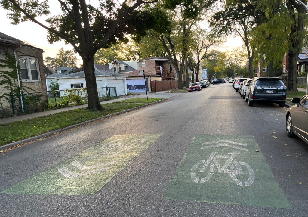
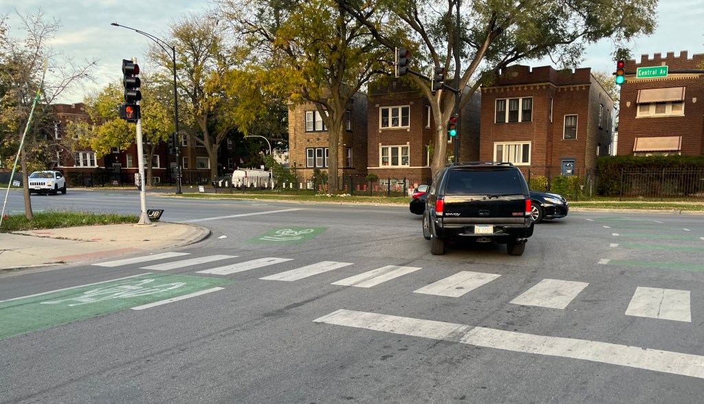
Milwaukee Avenue non-protected bike lanes in Logan Square and Avondale
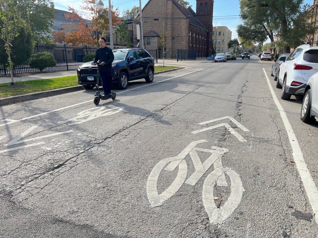
As I previously mentioned, this is the gap in protection between Wrightwood/Logan and Belmont. It only got paint-only, dashed “Advisory Bike Lanes,” rather than physical protection, making tit he only stretch of the Milwaukee “Hipster Highway” between Irving Park Road and Kinzie Street to lack PBLs, other than the very-retail-dense stretch between North Avenue / Damen Avenue and Division Street / Ashland Avenue in Wicker Park.
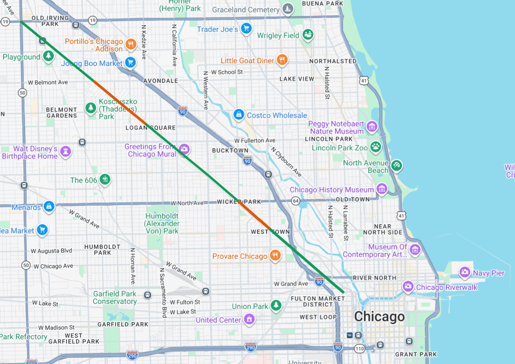
Why is this the case? Back in 2022, CDOT proposed building protected lanes on this stretch, which would have required car parking space conversions. But unfortunately Chicago’s “aldermanic prerogative” tradition, the de-facto ability of alders to veto infrastructure projects in their districts, came into play here. Then-35th Ward alder Carlos Ramirez-Rosa, currently the Chicago Park District superintendent, was generally bike-friendly and signed off on protected lanes in other parts of the district. But he ultimately feared that the proposed street redesign would negatively impact businesses, so he put the kibosh on the PBL plan.

A plastic curb-and-bollard-protected lane that replaced a parking lane on Milwaukee between Western and California avenues in the 1st Ward.
For the record, a recent CDOT report found that while Chicago bike lanes have reduced crashes on their corridors, they have had a neutral or positive effect on retail sales. In fact, the study found that on the nearby stretch of Milwaukee between California and Western avenues in Logan Square, where CDOT did a parking-to-PBLs project, “sales tax revenue steadily recovered, increasing by 66 percent following the pandemic.”
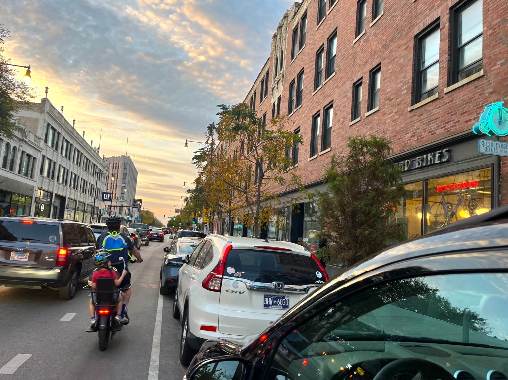
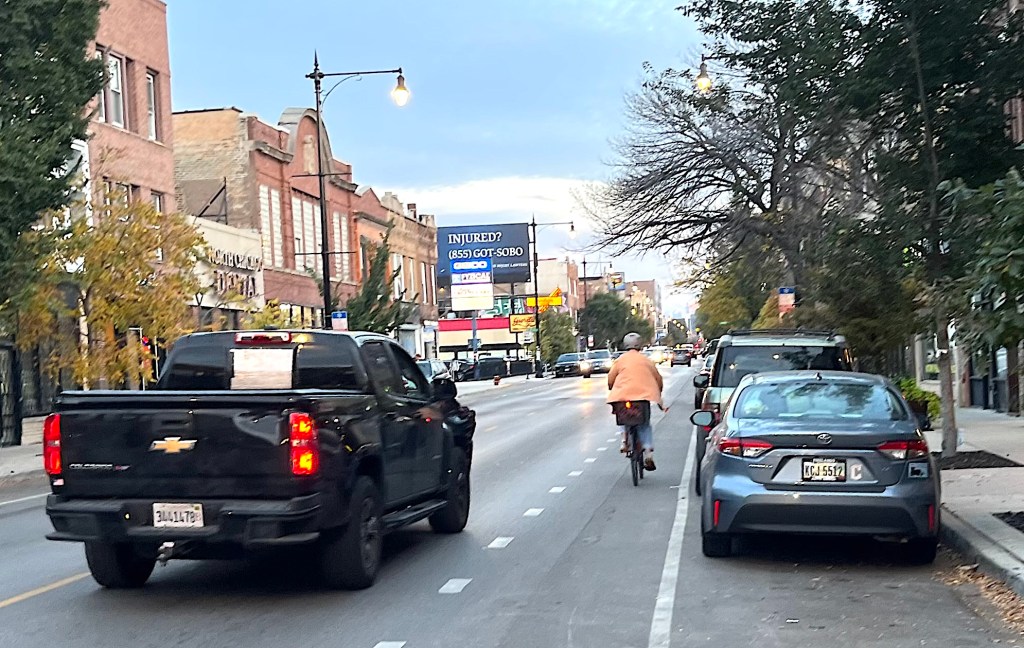
New protected lanes on Kedzie in Logan Square
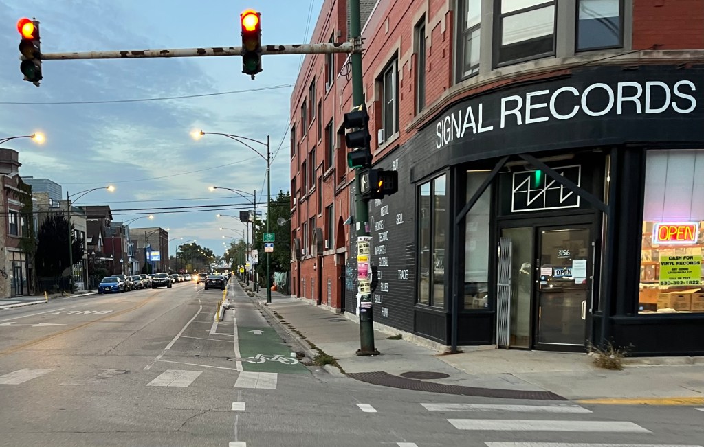
George Greenway in Logan Square
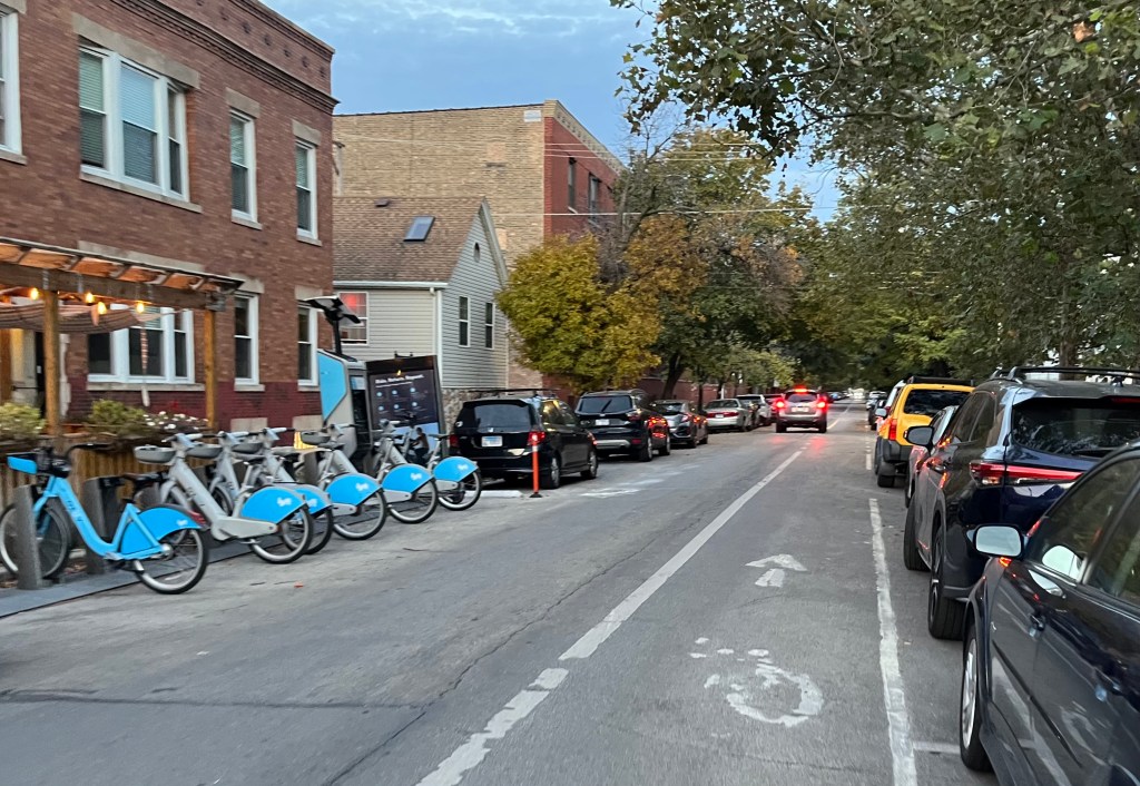
Rockwell Greenway in Logan Square
This segment is part of a low-stress route proposed by students from West Town Bikes community bike shop, 2459 W. Division St., connecting it with the Bloomingdale Trail, Logan Boulevard Skate Park, Logan/Western, and The Garden Dirt Jumps in Horner Park.
Here are the previous Bike Lane Fest 2025-26 posts:
• “It’s time for Streetsblog Chicago’s Bike Lane Fest 2025-26“
• “Take a virtual walk on the Winnslie Parkway Expansion, and ride on the Ravenswood Avenue Greenway“
• “SBC Bike Lane Fest 2025-26: Far Northwest Side, including Albany Park, Forest Glen, and North Park”

If you appreciate Streetsblog Chicago’s livable streets reporting and advocacy, please consider making a tax-deductible donation to support our work. Thank you!