Skip to content
Sponsored

Today's stories are presented by

SBC Bike Lane Fest 2025-26: Far Northwest Side, including Albany Park, Forest Glen, and North Park

SBC Bike Lane Fest 2025-26: Far Northwest Side, including Albany Park, Forest Glen, and North Park
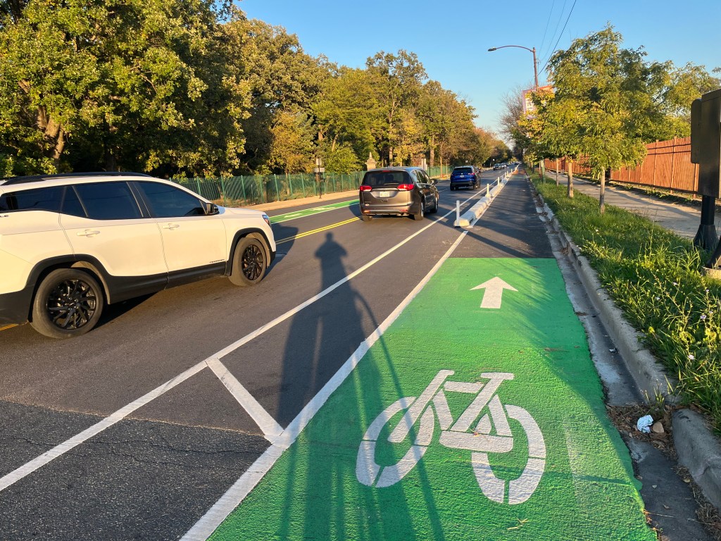
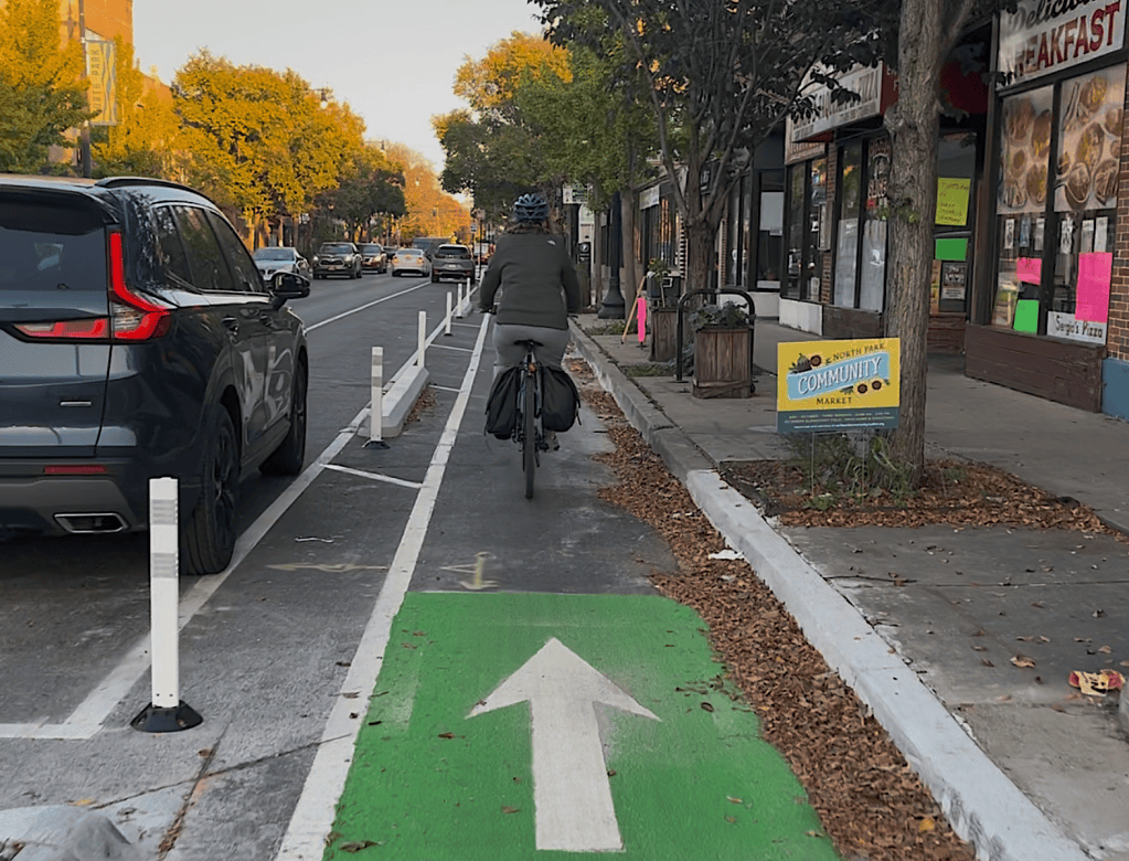
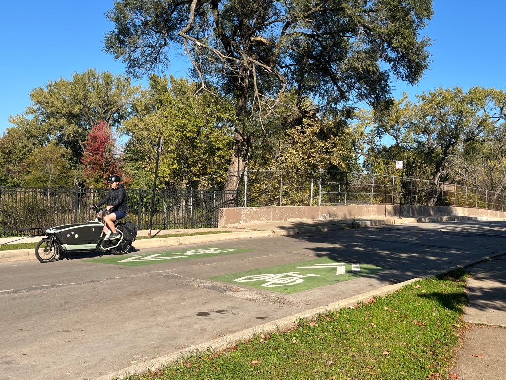
The new Brn Mawr Avenue protected bike lanes in North Park. Image: John Greenfield
This post is sponsored by Ride Illinois.

Howdy, Streetsblog Chicago readers. I realize it’s been a few weeks since our last SBC Bike Lane Fest 2025-26 post, but the weather has been fabulous lately, so it’s time for me to hunker down and get serious about completing this recon mission.

As such, I went out for a few hours this afternoon and checked out new bikeways on the Far Northwest Side. I ended my day by exploring one facility that’s been on my to-do list for a while: the controversial Bryn Mawr Avenue protected bike lanes in the North Park community.

This website’s Map of 2025-26 CDOT Bikeway Installations, shown below, is based on the Chicago Department of Transportation’s Bikeways Installations Tracker spreadsheet. That document has not been refreshed since July 17, 2026, but I’m generally trying to stop by the sites of projects that are listed as “Upcoming Construction” or “In Construction,” as well as ones that have been “Installed,” to see the current status.

In addition, you can take a look at CDOT Existing Bike Network Map, to get a sense of how the new facilities fit into the network. However, that map shows all bikeways that have been installed in modern history, while SBC’s map just shows the newer ones.

Here’s the region I covered on Tuesday, essentially bounded by Peterson Avenue, the North Shore Channel / Chicago River, Lawrence Avenue, and Laramie Avenue. Non-protected bike lanes are red, new off-street paths are pink, Neighborhood Greenways are blue, and protected bike lanes are green. To give you a sense of how the new bikeways fit in with existing off-street trails, I’ve drawn the relevant paths here in purple.
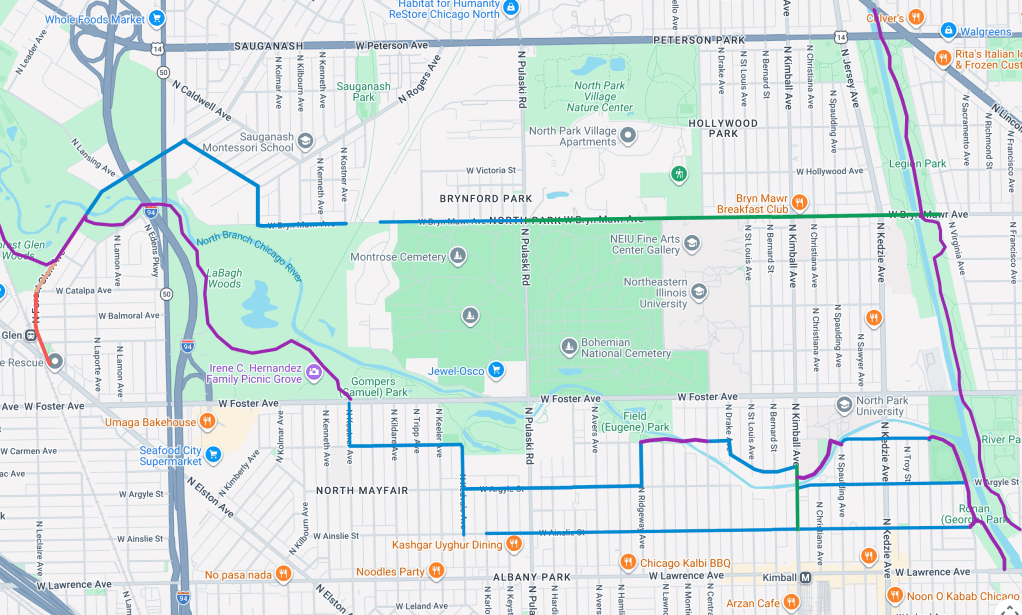
Image: Google Maps

Without further ado, let’s discuss the stuff I looked at Tuesday.

The Albany Park / North Park river network

This collection of Neighborhood Greenway segments is is an effort to connect the North Shore Channel Trail (the northwest-southeast purple line to the left) with the North Shore Channel Trail (the north-south purple lines at the right). There are also a couple of purple trail snippets connecting them. To simplify things, I’ll just present photos in the order that I visited the locations. See my comments in the captions. All images in this post are by yours truly.
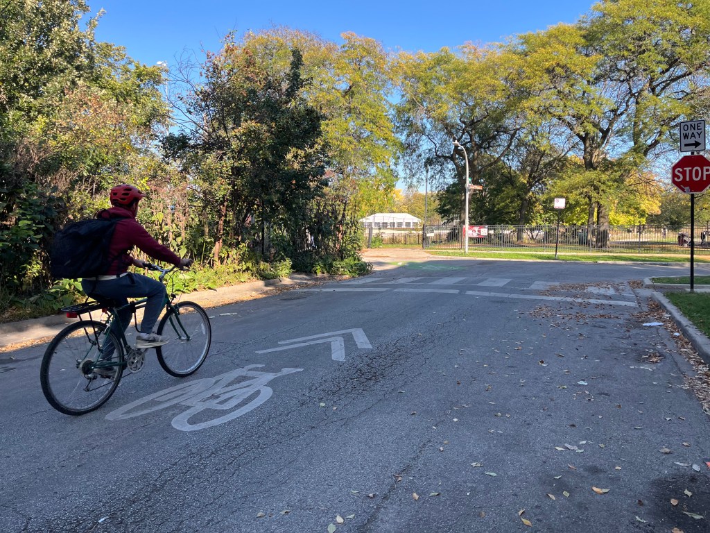
Shared-lane markings (“sharrows”) on Argyle Street near the river and North Shore Channel Trail. It doesn’t look like signs and markings have been installed yet on Ainslie Avenue, an eastbound street a block south.
Riding east on Carmen Avenue towards the river.
Access to a short trail by the river at Carmen and Spaulding avenues, next to Von Steuben High.
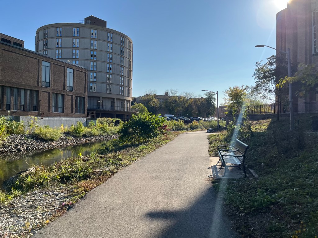
The river trail beside Von Steuben.
The protected lanes planned for Kimball Avenue here are still, as the CDOT spreadshet said back in July “In Construction.”
On the Neighborhood Greenway leading to a short stretch of riverwalk…
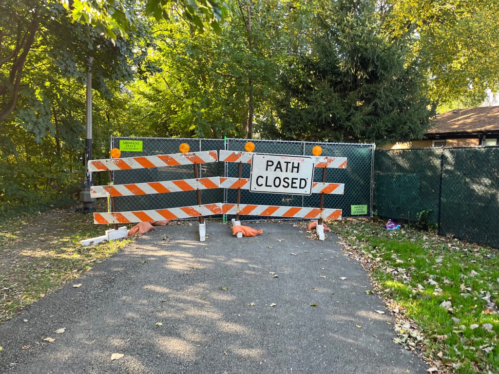
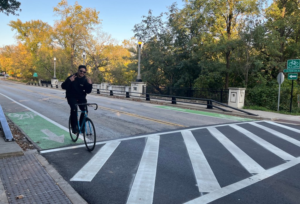
…But unfortunately the bridge was out, requiring a detour south on Monticello.
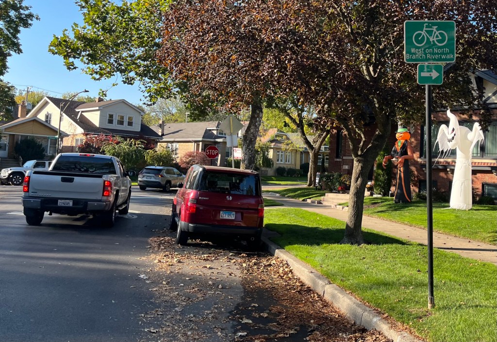
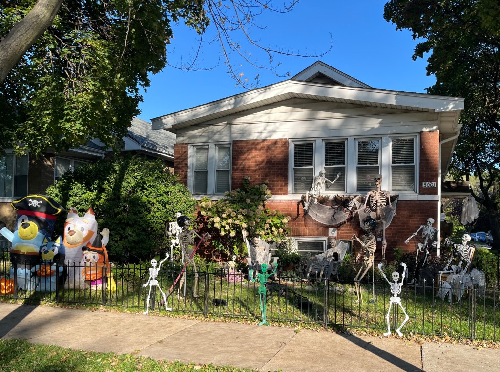
On Monticello, some of the many Halloween decorations I saw on this ride.
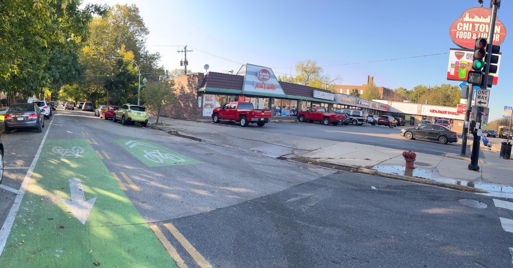
West of Pulaski, Argyle is one-way westbound, so there’s an eastbound contraflow bike lane. The strip mall includes Yuya’s Bakery, where I picked up some very good tamales.
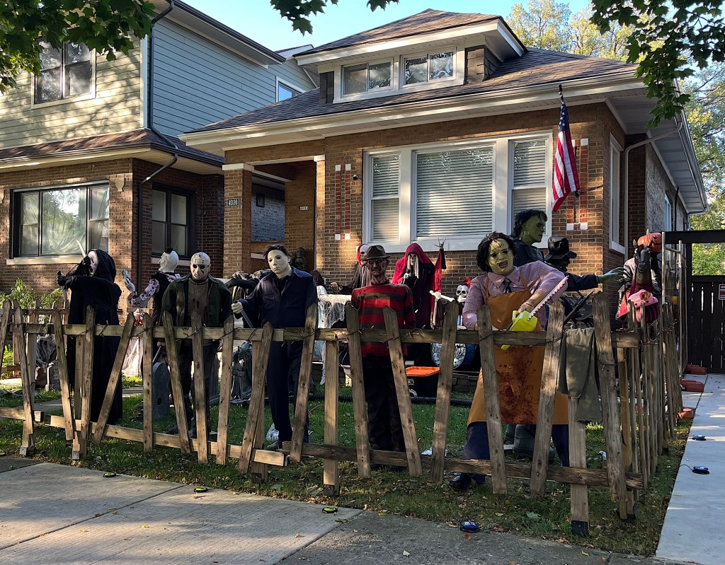
More creepiness on Argyle just west of Pulaski.
The route to the North Branch Trail takes you north on Kedvale Avenue, west on Carmen, and then north on Kostner Avenue, where there’s a contraflow lane, legalizing cycling to and from the path on Kostner.

Forest Glen Avenue route

Over in the Forest Glen community, you can head north from Elston Avenue to Metra’s Forest Glen Station, intersect with the North Branch Trail, and then make your south again to Bryn Mawr Avenue.
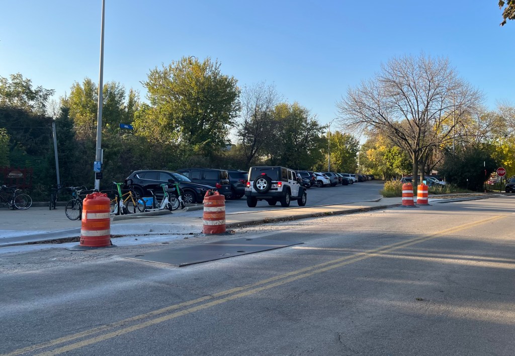
Bikes and scooters parked at the station on Metra’s Union Pacific North Line. While non-protected lanes are planned here, there are no markings yet.
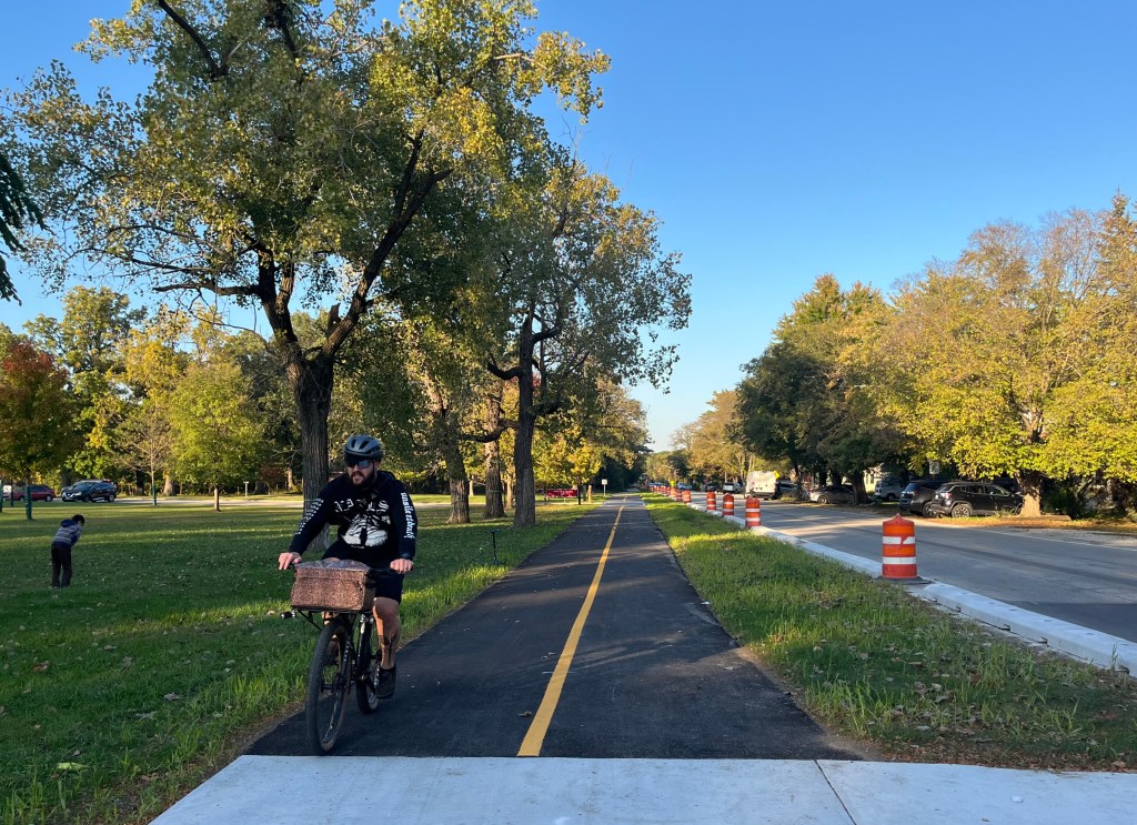
A short segment of off-street path was recently installed north of Catalpa Avenue. Curbs were put in next to the road to keep drivers from parking on the grass.
After the Forest Glen Avenue route parts from the North Branch Trail, there are non-protected bike lanes.
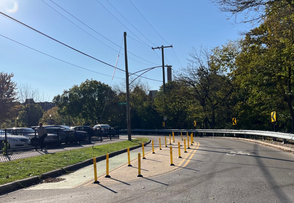
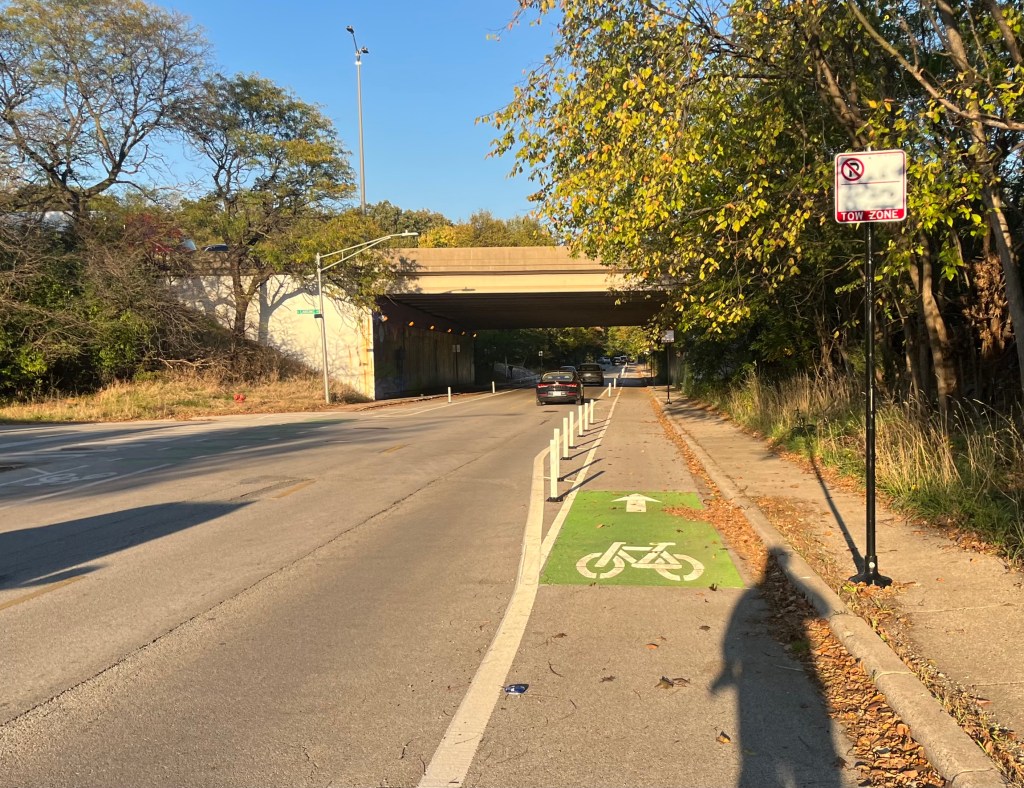
Flexible plastic posts line the Forest Glen Avenue bike lane as you approach an I-94 underpass. East of there, Kercheval Avenue has been repaved, but doesn’t yet have pavement markings. From there, you head south on Kenton Avenue to Bryn Mawr Avenue. At that point, Bryn Mawr is a quiet street just north of LaBagh Woods, and doesn’t have any bikeways.
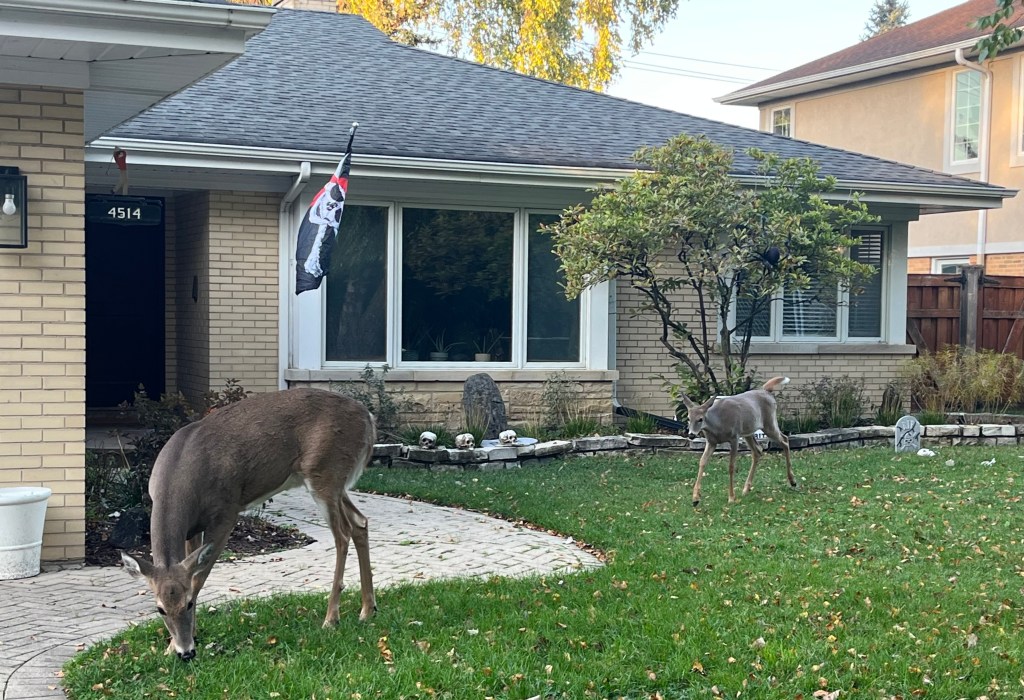
Dear me! The fact I was just out of the woods was highlighted when I saw a doe and a faun grazing on someone’s lawn.
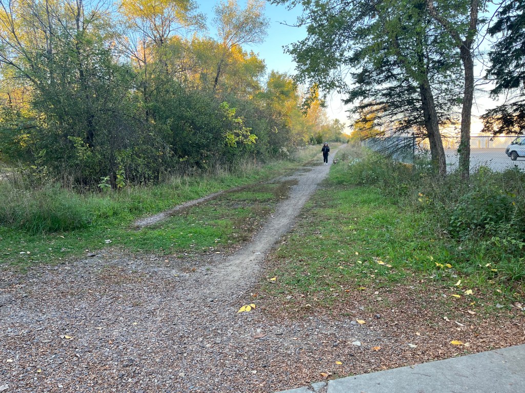
Bryn Mawr crosses the future Weber Spur Trail right-of-way just east of Kotner.
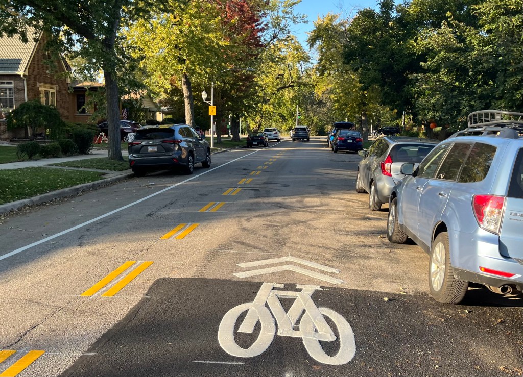
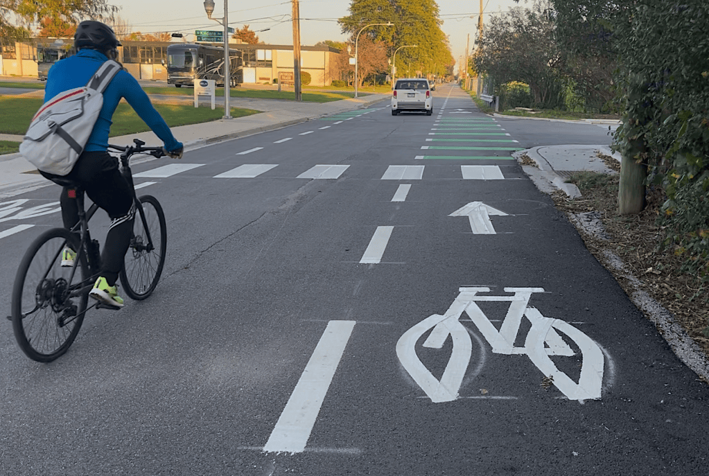
East of the Weber Spur, there are now dashed “advisory bike lanes” on Bryn Mawr.
The Bryn Mawr PBLs start east of Pulaski Road and go for a mile to Kedzie Avenue.

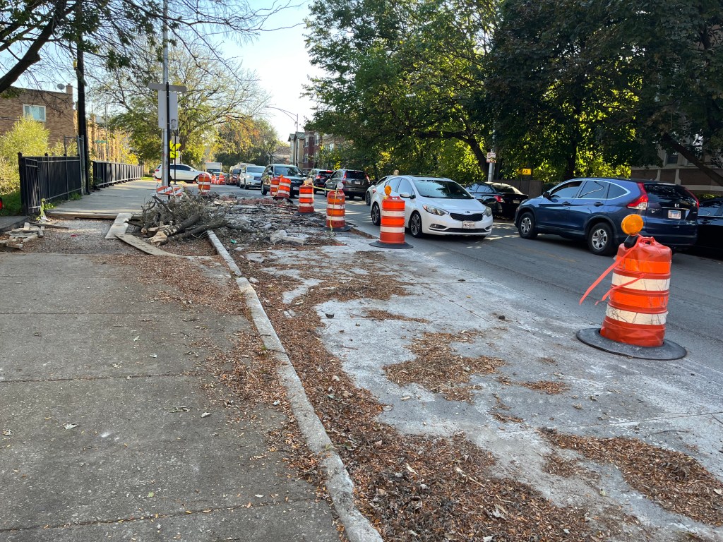
At the end of this video, east of Kedzie Avenue, construction narrows the road to one narrow eastbound lane, forcing motorists to drive over the paint-only bike lane in this stretch of Bryn Mawr. The bike rider who passed me understandably detoured to the (little-used) sidewalk for safety.
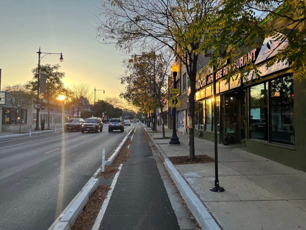
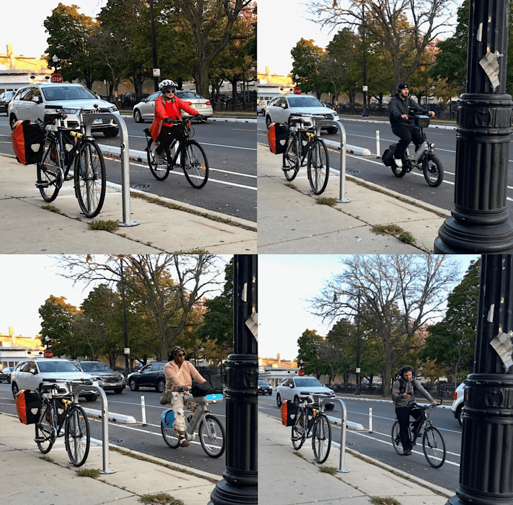
As I headed back west into the sunset through the interesting retail district on Bryn Mawr between Kedzie and Kimball avenues, although parking conversions had been done to make room for the protected lanes, parking spaces were still available.
Meanwhile, the bike lanes were getting good use. Here are a few people who passed by while I sat on a bench snacking on tamales.
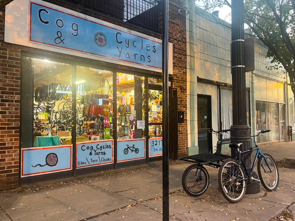
As I headed home on Bryn Mawr through the retail district, I saw an establishment I’d never noticed before, the knitting and bike shop Cog Cycles & Yarns. They should definitely get more customers thanks to the increased bicycle traffic on Bryn Mawr.

Here are some previous Bike Lane Fest 2025-26 posts:

• “It’s time for Streetsblog Chicago’s Bike Lane Fest 2025-26”

• “Is the Wellington Greenway a victory for cyclists, and a WateBC is rloo for bikeway foes with a Napoleon Complex?”

• “Take a virtual walk on the Winnslie Parkway Expansion, and ride on the Ravenswood Avenue Greenway“

• “SBC Bike Lane Fest 2025-26: Far South Side, including Roseland, Pullman, South Chicago, South Shore, and Greater Grand Crossing”

• “SBC Bike Lane Fest 2025-26: Far North Side, including Lincoln Square, West Ridge, Rogers Park, Edgewater, and Uptown“

donate button

If you appreciate Streetsblog Chicago’s livable streets reporting and advocacy, please consider making a tax-deductible donation to support our work. Thank you!

Photo of John Greenfield
In addition to editing Streetsblog Chicago, John has written about transportation and more for many other local and national publications. A Chicagoan since 1989, he enjoys exploring the city and region on foot, bike, bus, and train.

Streetsblog has migrated to a new comment system. New commenters can register directly in the comments section of any article. Returning commenters: your previous comments and display name have been preserved, but you'll need to reclaim your account by clicking "Forgot your password?" on the sign-in form, entering your email, and following the verification link to set a new password — this is required because passwords could not be carried over during the migration. For questions, contact tips@streetsblog.org.
More from Streetsblog Chicago

NITA asks riders to help shape 2027 transit priorities at Union Station open house

October 16, 2026
See all posts