Take a virtual ride on the new, currently spooky, Argyle-Winnemac Greenway between Lake Michigan and the Chicago River
This post is sponsored by The Bike Lane.
I’m not going to lie. There are definitely some perks to living in an part of Chicago where there are lots of sustainable transportation advocates, and the alderpersons are generally very walk/bike/transit-friendly.
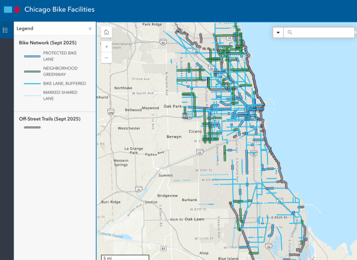
Check out the Chicago Department of Transportation’s Mid Northeast Project Area map, covering the nine-square mile region between Foster (5200 N.) and Diversey (2800 N.) avenues, the Chicago River, and Lake Michigan. It shows existing, in-progess, and upcoming bikeways in some or all of the North Center, Lakeview, Uptown, Lincoln Square, and Edgewater community areas.
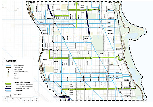
As you can see, there’s starting to be quite a dense network of bikeways. It’s starting to approach the vision of advocacy organizations like the Active Transportation Alliance and Chicago Bike Grid Now!, an influential grassroots group. Of course, the nature of these facilities varies from off-street trails, to concrete-protected bike lanes, to Neighborhood Greenway side-street routes, to paint-only lanes on main streets, which some cyclists disparagingly call “door-me lanes.”
Bur here are some of notable, generally praiseworthy recent projects in the Mid Northeast Project Area, with links to CDOT webpages and Streetsblog Chicago coverage.
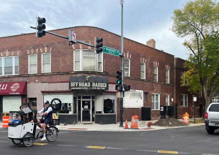
• Winnemac Avenue (5030 N.) from Damen to the Broadway, completed. (CDOT webpage, Streetsblog coverage – you’re looking at it)
• Grace Street (3800 N.) from Campbell Avenue (2500 W.) to the LFT, construction scheduled for this fall. (CDOT webpage, Streetsblog coverage)
• Wellington Avenue (3000 N.) from Leavitt Street (2200 W.) to the LFT, construction doesn’t to be scheduled yet. (CDOT webpage, Streetsblog coverage)
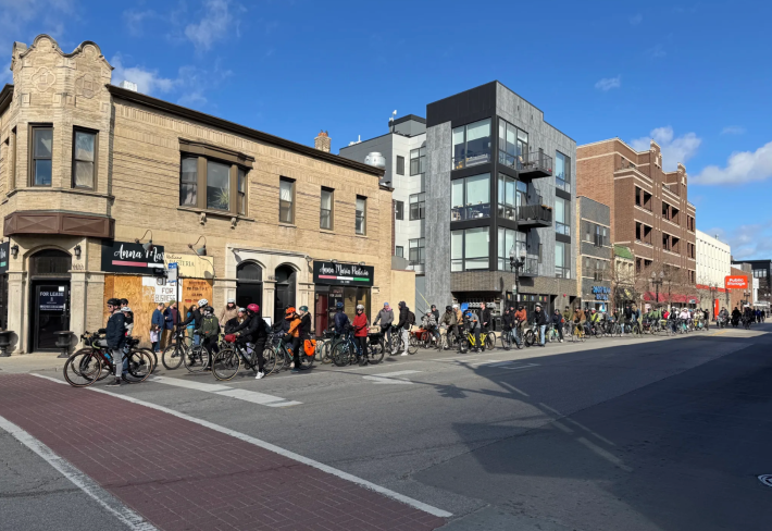
Proactive advocacy from civilians has been key to this part of town evolving into a local cycling Mecca. Examples include Bike Grid Now’s 100-person ride to advocate for now-under-construction protected bike lanes on Clark Street from Montrose Avenue (4400 N.) to Winnemac in Uptown, which I’ve nicknamed the “Uptown Extension.” That project is unpopular with the driving-obsessed, because it involves converting parking spots to people space.
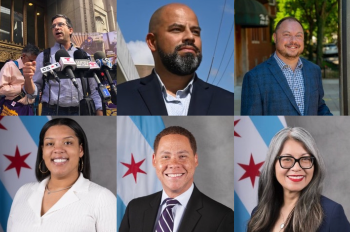
Some of the credit for the Mid Northeast bike boom also goes to the usually very-pro-sustainable transportation alderpersons who represent parts of this region. These include Ald. Scott Waguespack (32nd), Ald. Andre Vasquez (40th), Ald. Bennett Lawson (44th), Ald. Angela Clay (46th), Ald. Matt Martin (47th), and Ald. Leni Manaa-Hoppenworth (48th).
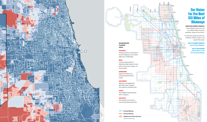
It’s also necessary to point out that the difference in bikeway density in different sections of Chicago does involve some equity issues. Wards are relatively compact here in the project area, which means discretionary aldermanic “menu” money for infrastructure isn’t spread as thin as in larger districts on the South and West sides. And many lower-income and working-class people in underserved communities may have little spare time to attend community meetings.
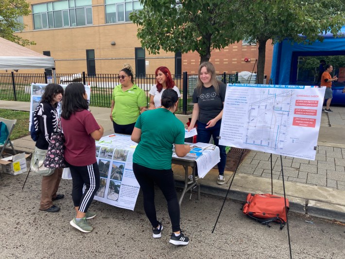
To its credit, in recent years CDOT has been more proactive about doing extensive outreach to earn support from locals in those areas through its Neighborhood Bike Network initiative. That work has been bearing fruit with lots of recently installed bikeways on the West Side, and in-progress projects like protected bike lanes on Kedzie (3200 W.) and Archer (diagonal) avenues on the Near Southwest Side.
On the other hand, some parts of the Far Southwest and Far Northwest Sides that have virtually no bikeways aren’t particularly economically disadvantaged. But this absence does correlate with with high numbers of Trump voters.
But I digress. Let’s discuss some of the features of one of Chicago’s nicest new lower-stress crosstown bike routes, the Argyle-Winnemac Greenway.
(CDOT refers to the new mile as simply the “Winnemac Neighborhood Greenway.” But about a third of the roughly three-mile corridor between the lake and the river is on Argyle Street (5030 N.) So I’m using an alternative name to clarify where the route is located.)
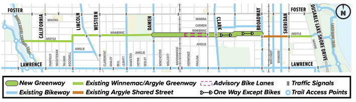
There was already a Neighborhood Greenway on Argyle and Winnemac from the river to Winnemac Park (which is located between Leavitt and Damen). An eastbound contraflow lane between California (2800 W.) and Rockwell (2600 W.) avenues is currently missing due to street repaving, but I assume it will be re-striped soon.
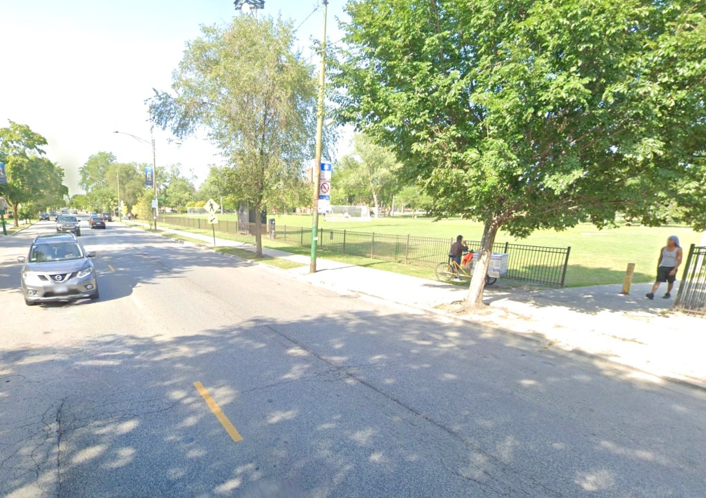
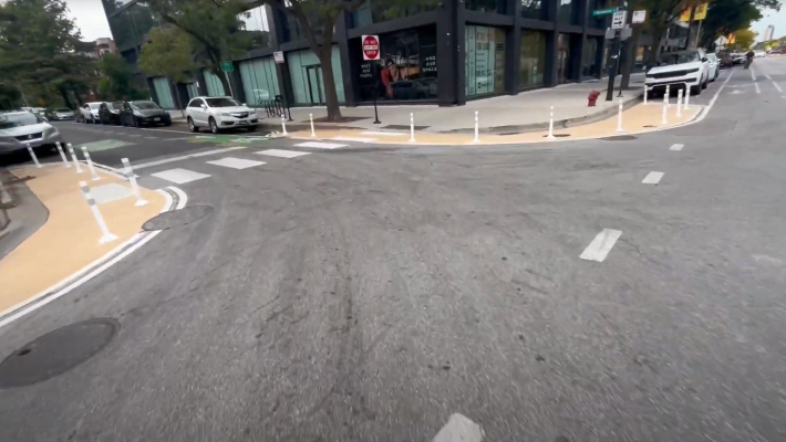
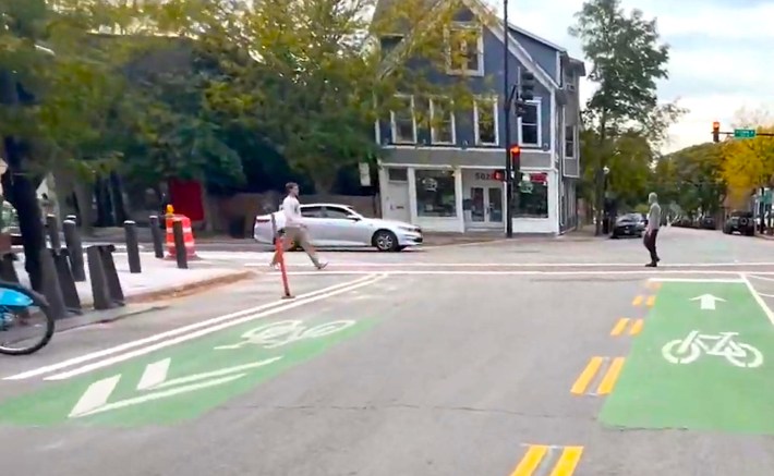
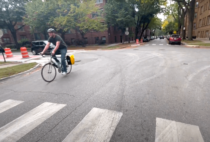
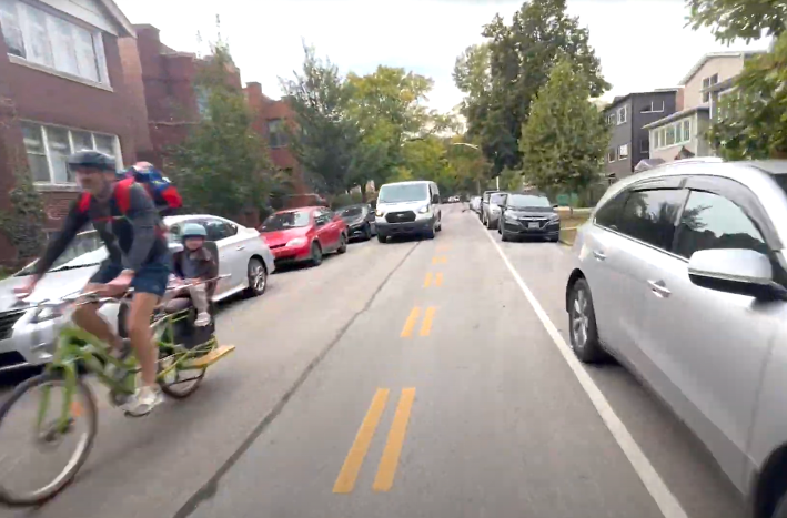
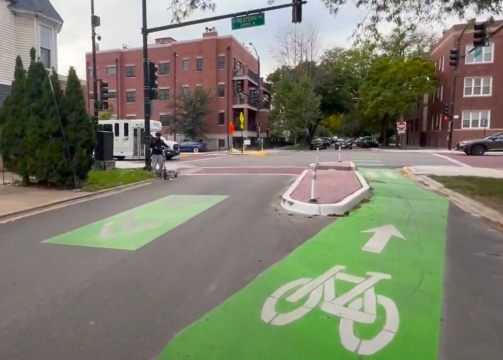
The new greenway section east of Damen and the park to Broadway completes the mostly low-stress route to and from the lake. The design converted Winnemac between Clark Street (about 1530 W. here) and Broadway (1200 W.) to a one-way eastbound street for drivers, with a contraflow lane to legalize westbound riding by cyclists.
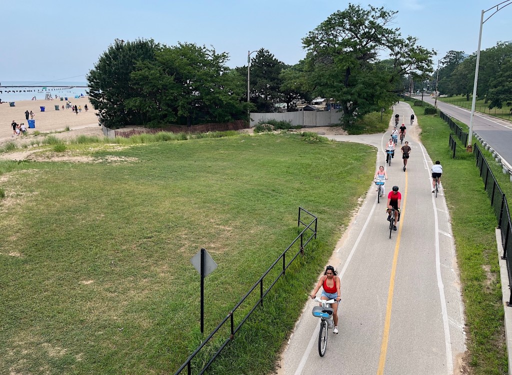
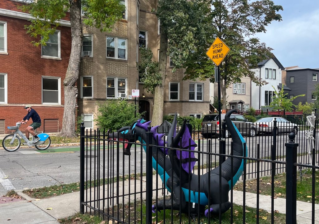
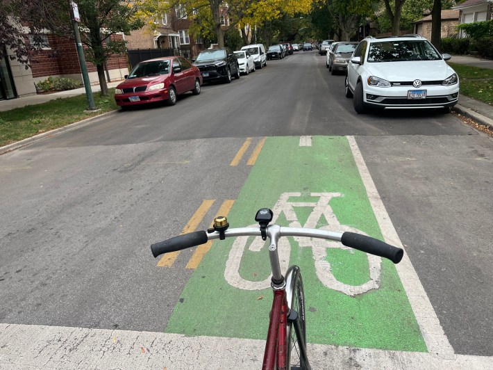
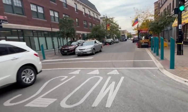
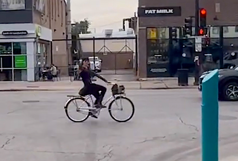
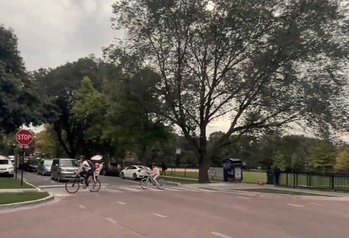
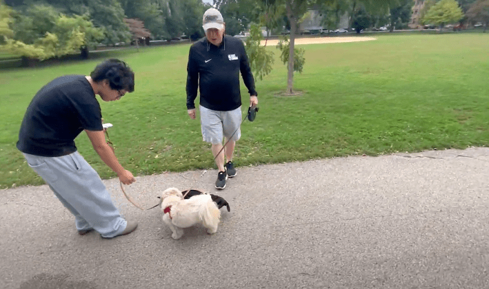
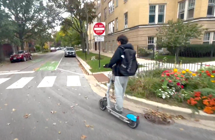
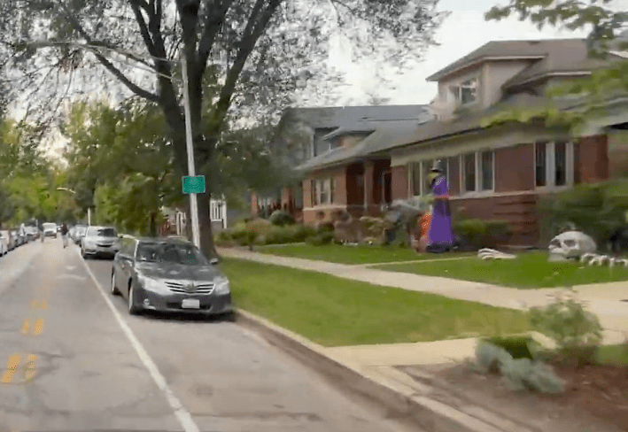
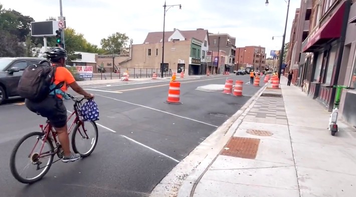
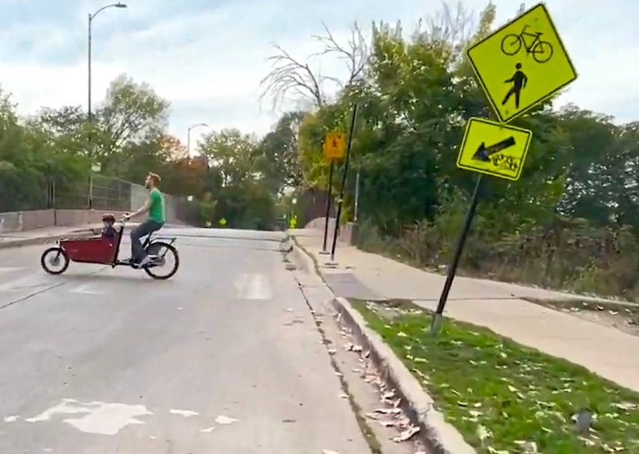
As you can see in the long video below, which I filmed last Friday at 2:45 p.m., as long as you know where the itinerary jogs, it’s a fairly seamless route. CDOT installed bike-friendly “sinusoidal” speed humps, and the posted speed limit was lowered to 20 mph. Families seems to agree it’s a relatively low-stress corridor, since I saw several adults biking with young kids.
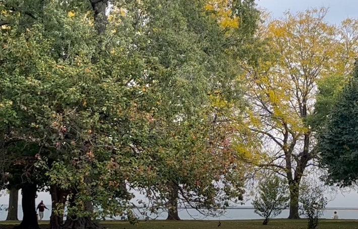
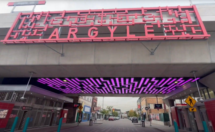
In case you don’t have time to watch the whole 22 minutes-plus video of yesterday’s three-mile westbound ride, here’s a gallery with screenshots some notable sights (filmed by yours truly, of course). What do you think of the new greenway? Let us know if the comment section.

Do you appreciate Streetsblog Chicago’s paywall-free sustainable transportation reporting and advocacy? We officially ended our 2024-25 fund drive in July, but we still need another $42.5K+ to keep the (bike) lights on in 2026. We’d appreciate any leads on potential major donors or grants. And if you haven’t already this year, please consider making a tax-deductible donation to help us continue publishing next year. Thank you!

Read More:
Streetsblog has migrated to a new comment system. New commenters can register directly in the comments section of any article. Returning commenters: your previous comments and display name have been preserved, but you'll need to reclaim your account by clicking "Forgot your password?" on the sign-in form, entering your email, and following the verification link to set a new password — this is required because passwords could not be carried over during the migration. For questions, contact tips@streetsblog.org.