North Branch Works describes itself as “a membership-supported nonprofit neighborhood organization that for more than three decades has promoted balanced, job-creating economic development along the North Branch of the Chicago River.” NBW is a major player in discussions of sustainable transportation, transit-friendly development, and safe streets in the area it covers, which includes the North River, Addison, and Kennedy industrial corridors on the Near North Side.
The group invited Streetsblog Chicago to its End-of-Summer Boat Tour on a Chicago Water Taxi craft run by Wendella Boats. As I’ve written before, water taxis are perhaps the most serene way to make the “last mile” trip from Metra trains to downtown jobs. So I’m glad this mode is surviving in the post-COVID-19 era, when fewer people work full-time in offices.
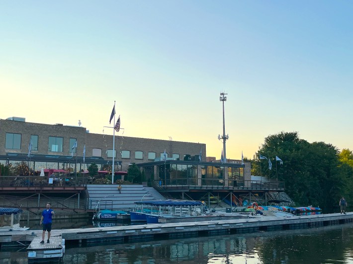
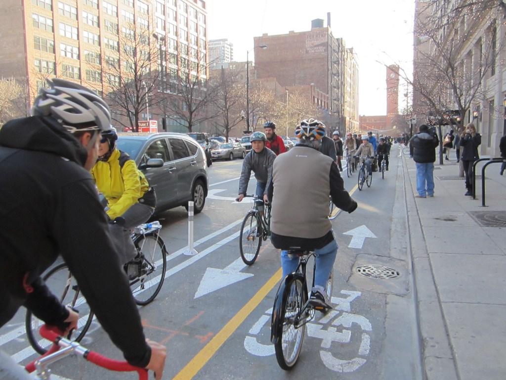
The North Branch Works boat trip left after work from the Wendella boat dock on Goose Island,1535 N. Cherry Ave., next to the Cherry Street bike-pedestrian bridge, just south of North Avenue. There was no formal presentation during the voyage, but the two-hour trip was a great opportunity to snap some photos of local walk/bike/transit infrastructure. Here’s a gallery of what I saw on our journey, with a bit of discussion, including links to relevant Streetsblog articles, in the captions. All photos are by yours truly.
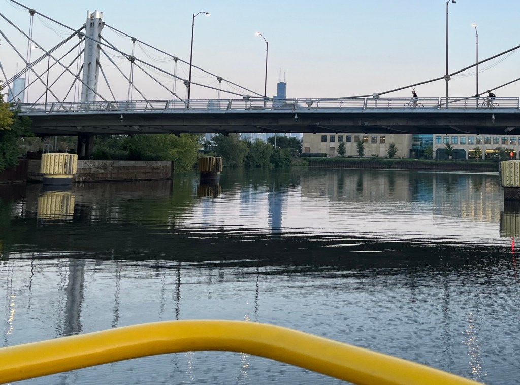
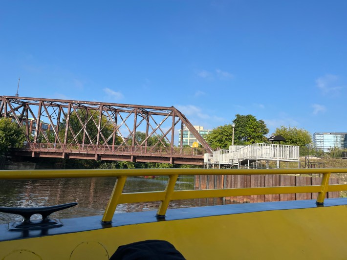
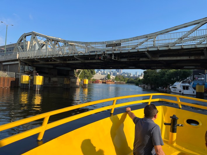
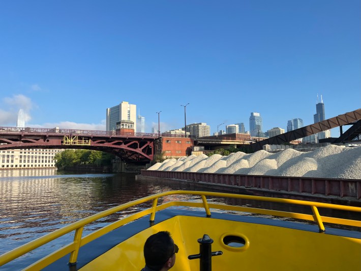
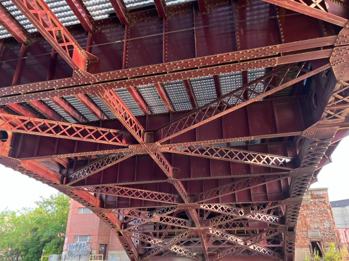
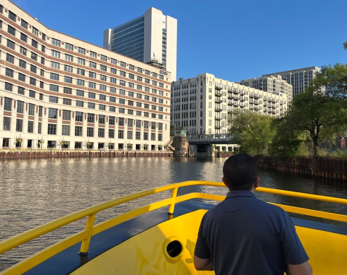
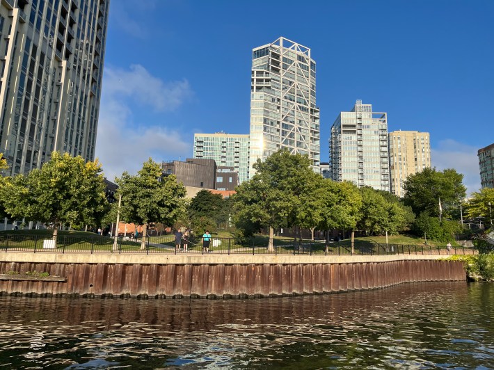
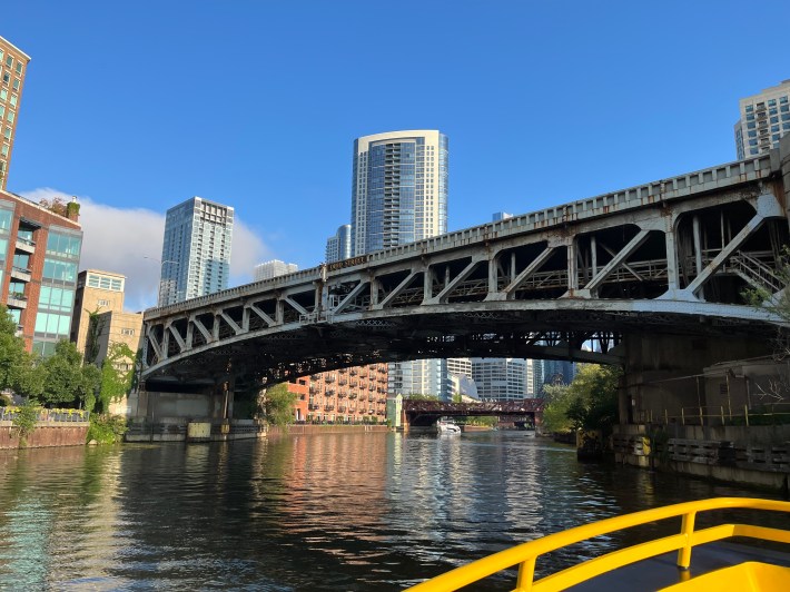
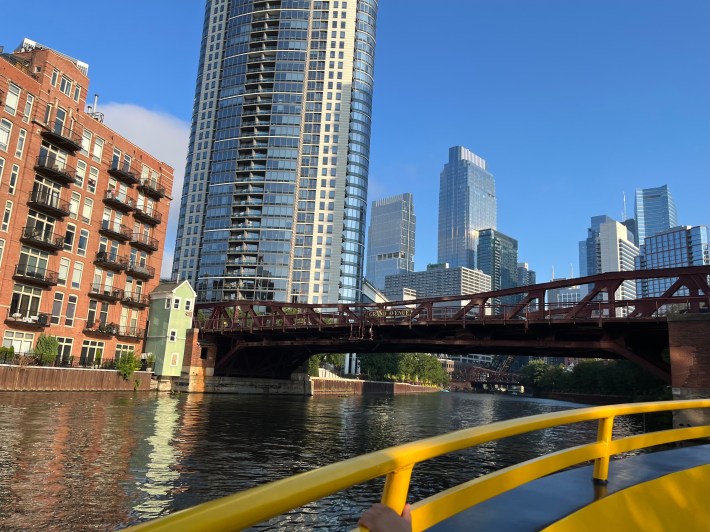
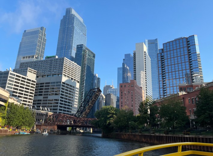
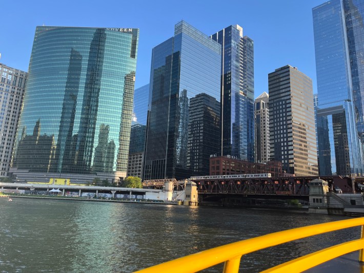
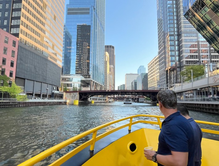
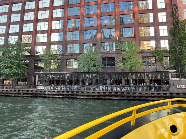
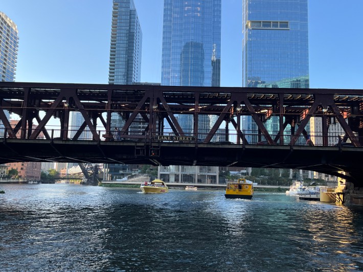
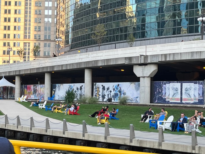
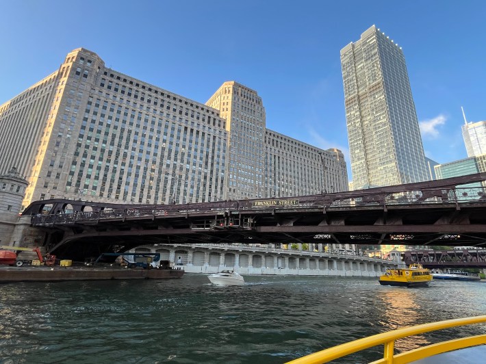
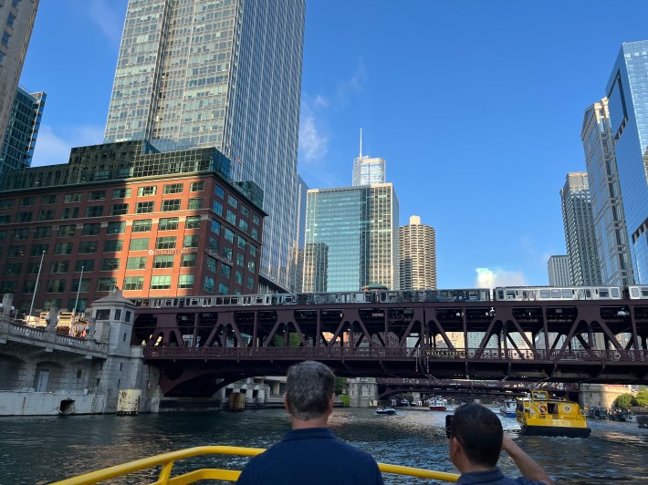
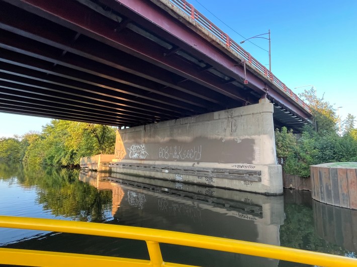
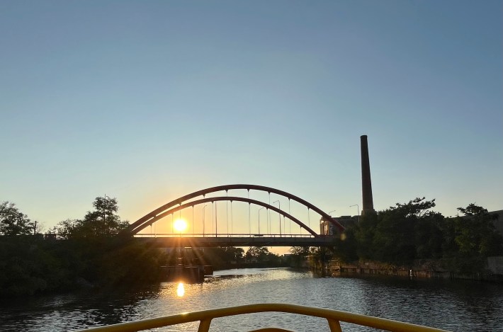
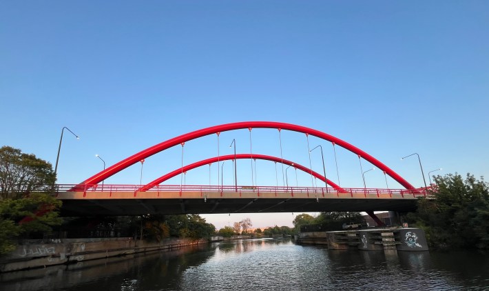
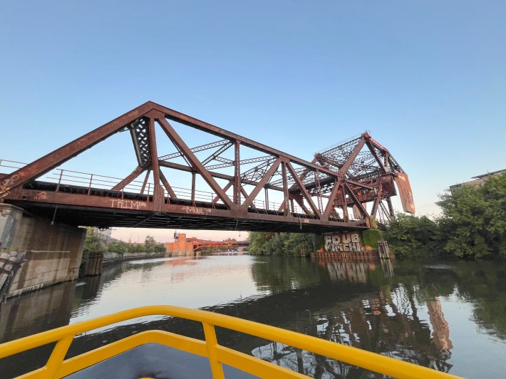
The Cherry Street bike-ped bridge (about 1100 W.) and the Wendella dock, as seen from the bow of the ship, looking east.The Division Street bridge (1200 N.) over the North Branch of the Chicago River on the west side of Goose Island (as opposed to the North Branch Canal on the east side of the island), looking south.The Halsted Street bridge (800 W.) over the North Branch, and a Prairie Materials ready mix concrete yard, looking southeast.Passing under the Halsted bridge.Approaching the Chicago Avenue bridge (800 N.) at the Montgomery Ward Building, looking southeast. Just west of the river on Chicago Avenue is the site of the future Bally’s Casino.Ward Park (about 630 N.) on the east bank of the river, looking east.The Ohio Street bridge (600 N.), which serves the Ohio Feeder ramp to the Kennedy Expressway, looking southeast. Former Milwaukee mayor and president of Congress for the New Urbanism, John Norquist, who currently lives in Rogers Park, has proposed converting the feeder into a surface boulevard.The Grand Avenue bridge (530 N.), looking south.Approaching the Kinzie Street bridge (400 N.) , made infamous 20 years ago by the Dave Matthews Band incident, and the permanently raised railroad bridge just south of Kinzie, looking south.A Pink Line train crosses the South Branch of the river via the Lake Street bridge (200 N.), looking south.Approaching the Randolph Street bridge (130 N.), looking south.The boat turns around just north of the Randolph bridge, looking east.Another view of the Lake bridge, looking north.Public seating on the west end of the Chicago Riverwalk, located on the south bank of the Main Branch of the river, looking east.The boat heads east on the Main Branch towards the Franklin Street bridge (about 300 W.), looking northeast towards the Merchandise Mart. When this building opened in 1930, it was the world’s largest building in terms of square footage.A Brown Line or Purple Line train crosses the Main Branch on the Wells Street Bridge (200 W.), looking east.
After turning around again just west of Wells, the boat headed up the North Branch again.
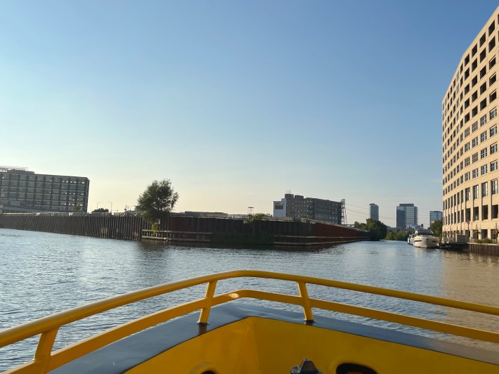
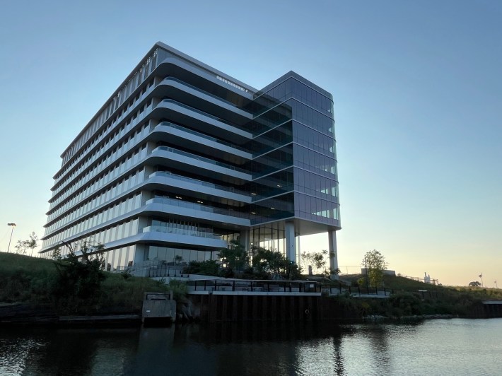
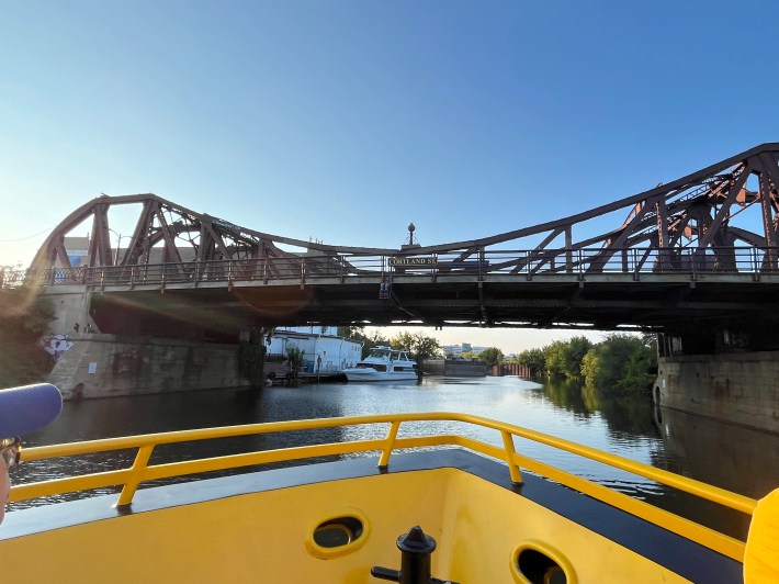
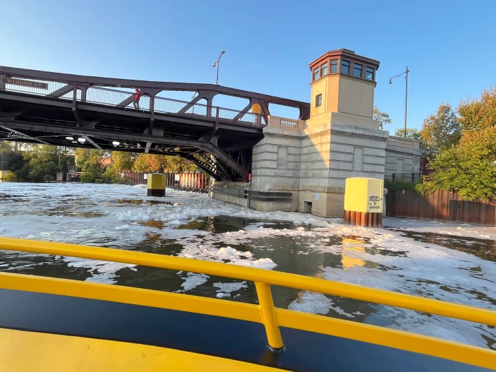
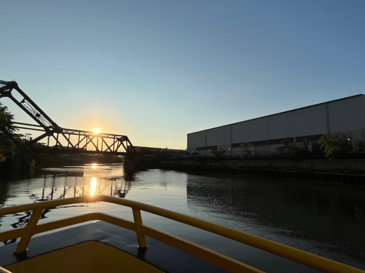
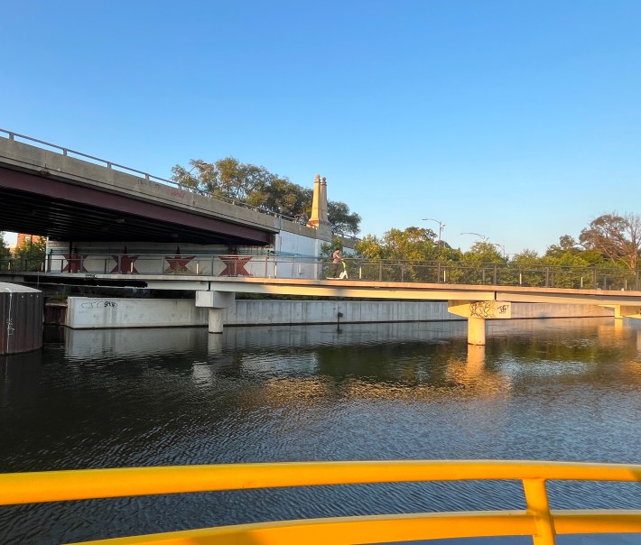
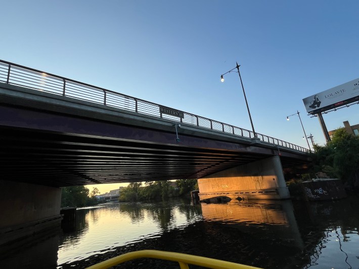
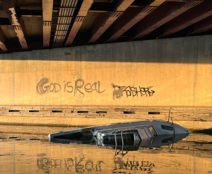
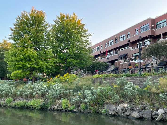
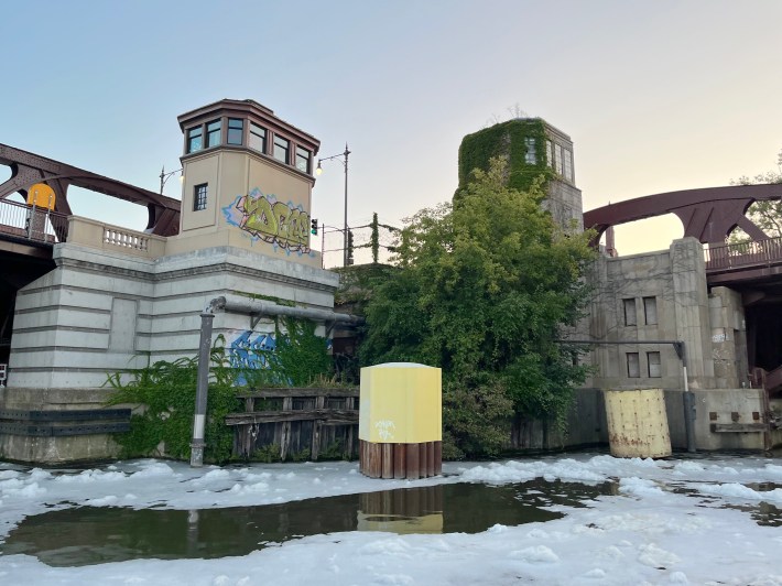
The southern tip of Goose Island, (about 900 N.) where the North Branch of the river (left) and the North Branch Canal split (right), looking north.Back near the Wendella dock at the North Avenue Turning Basin, looking north at the North Avenue bridge.The Lincoln Yards megadevelopment’s first and only building so far, its life science center at 1229 W. Concord Pl. (about 1630 N.) The Cortland Street bridge (1800 N.)The Webster Avenue bridge (2200 N.) The foam is reportedly created by an “aeration station, designed to improve the water quality.”Metra’s Union Pacific North line bridge (about 2300 N.), looking northwest from just west of the Ashland Avenue bridge (1600 W.)Passing under the Fullerton Avenue bridge (2400 N.), looking northeast.The Damen Avenue bridge (2000 W.), looking west.The Diversey Avenue bridge (2800 N.) with the causeway of the Jimmy Thomas Nature Trail underneath, and a scooter rider, looking northeast.The Western Avenue bridge (2400 W.)Sunken boat under the Western Avenue bridge, looking east. Rockwell on the River events space, 3057 N. Rockwell Avenue (2600 W.)
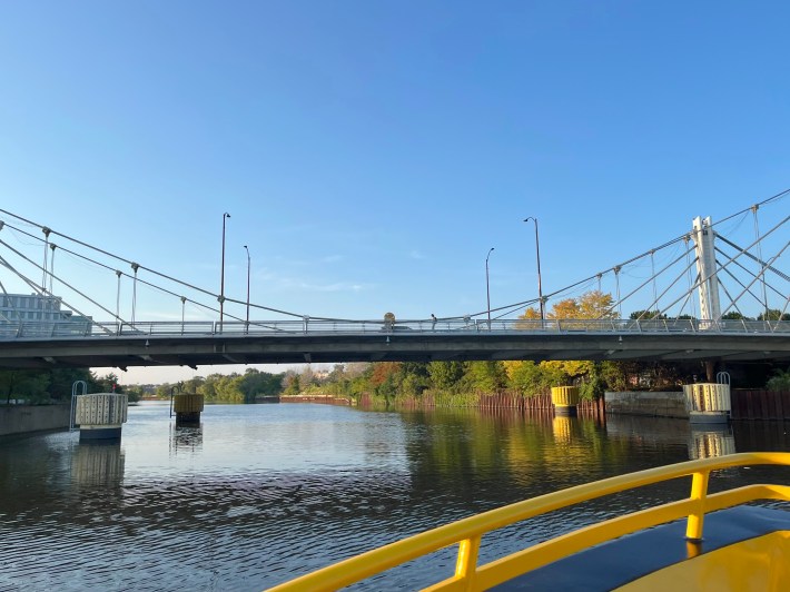
Just south of Belmont Avenue (3200 N.), the boat turned around and headed southeast again.
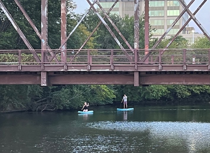
Housing (around 2900 N.) on the west bank of the river, looking south.A fallen soldier (around 2830 N.)Another view looking southeast at the Damen bridge, nicknamed “the hotdog bridge” because the Vienna Beef factory, store, and cafe, 2501 N. Damen Ave., is located just south.Another view of the Metra UP-N bridge, looking southeast.Junction of the Webster (left) and Ashland (right) bridges, looking southwest.We return to the Wendella dock at the Cherry Street bike-ped bridge as a pair of paddle board riders pass.
Did you appreciate this post? Please consider making a tax-deductible donation, to help keep Streetsblog Chicago’s sustainable transportation news and advocacy articles paywall-free.
In addition to editing Streetsblog Chicago, John has written about transportation and more for many other local and national publications. A Chicagoan since 1989, he enjoys exploring the city and region on foot, bike, bus, and train.
Streetsblog has migrated to a new comment system. New commenters can register directly in the comments section of any article. Returning commenters: your previous comments and display name have been preserved, but you'll need to reclaim your account by clicking "Forgot your password?" on the sign-in form, entering your email, and following the verification link to set a new password — this is required because passwords could not be carried over during the migration. For questions, contact tips@streetsblog.org.
The state is weighing improvements at the existing station against relocating it nearby, with accessibility; safer walking and biking connections; and future development shaping the discussion.