This post is sponsored by Ride Illinois.
Author update, 7/26/2024: two of the seven ordinances necessary to effect this upzoning have been adopted. The others are delayed due to differences in when mailed notices were sent to property owners and confirmed received.
Recently Streetsblog Chicago's John Greenfield referred to Ald. Andre Vasquez (40th) and Ald. Matt Martin (47th) as a "dynamic duo" because of the many sustainable transportation-related projects they've joined forces on: They cosponsored a resolution for a new CTA president. They're working together on the Ravenswood pedestrian and bike safety improvement project. And they've organized City Council members whose wards include Western Avenue (2400 W.) for a campaign to create bus rapid transit on the arterial street.
Next on Vasquez's and Martin's pro-sustainable transportation agenda is a plan to upzone Western to help increase housing density and affordability, which will also help make the street more walkable and transit-friendly. Each alder will introduce an ordinance to modify the Chicago zoning map to allow 3-5 story residential buildings to be built "as of right" – without having to go through an arduous or contentious rezoning process – on a 4.25-mile stretch of Western. This segment of the road runs from from Lunt Avenue (7000 N.) to Addison Street (3600 N.), including the West Ridge, Lincoln Square, and North Center community areas.
The proposals stem from a 2022 corridor study of Western between Howard Street (7600 N.) and Addison. Vasquez and Martin proactively changing the zoning districts of nearly every parcel on the corridor is a strategy to ensure the study's recommendations become realized.
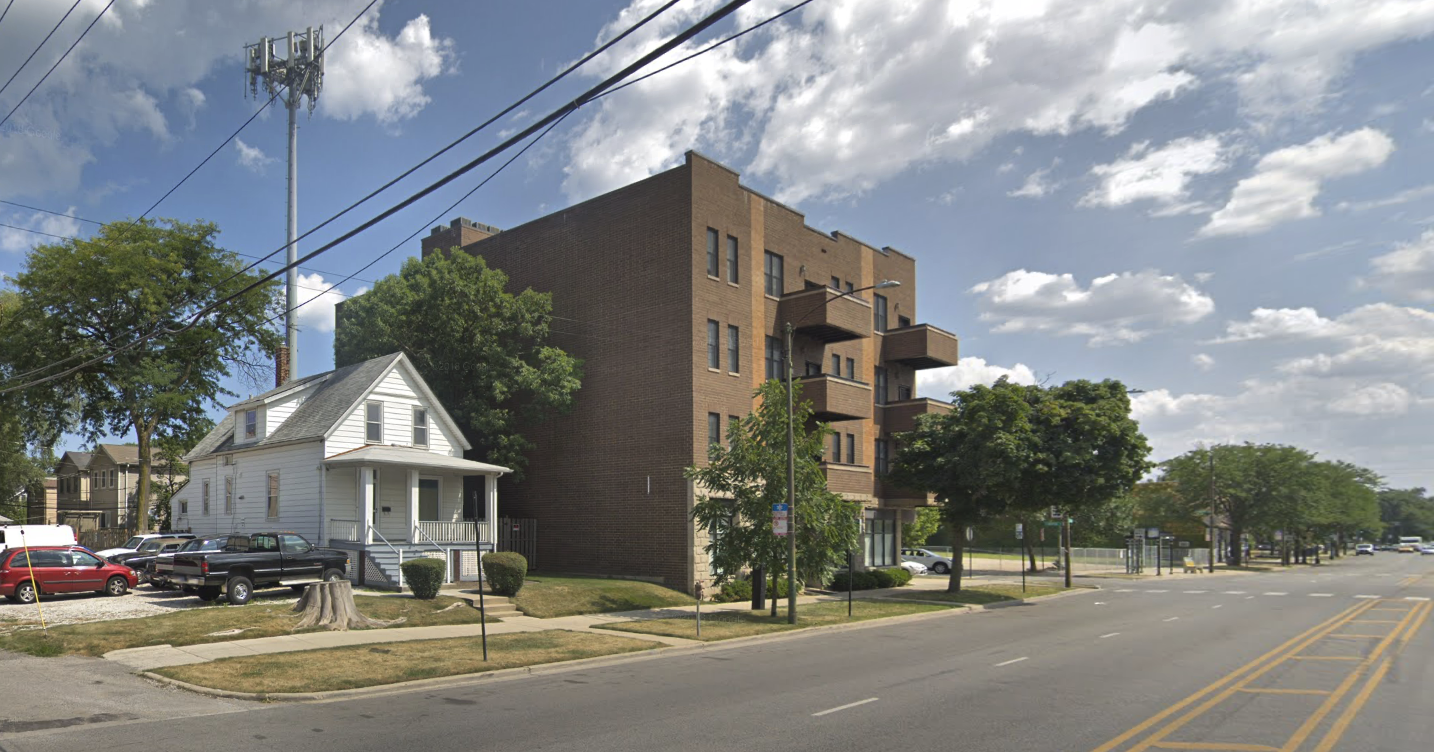
Currently, the zoning map on this segment of Western is a hodgepodge of districts that allow shops and car-oriented businesses, with the minimal amount of housing allowed per property. Think 1-3 apartments per standard size lot on many properties.
Vasquez and Martin will propose rezoning the vast majority of the various zoning districts on this stretch of Western to "B3-3", a classification that allows higher-density mixed-use development than exists, and a wide range of businesses. That will allow a significant amount of new housing to be built on any given property in the corridor. "It makes it so there are less opportunities for dealerships and body shops, so that we can reimagine Western with different businesses and more residential throughout," Ald. Vasquez explained.
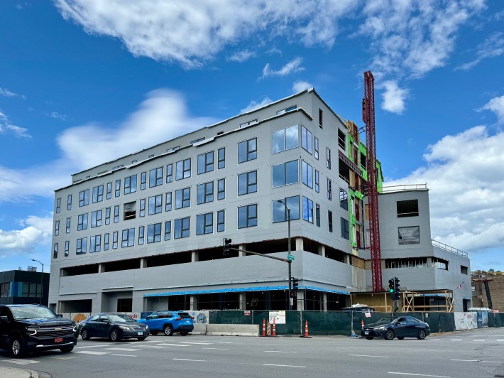
The new zoning would allow buildings at like the affordable apartments under construction at 4719 N. Western Ave. in Lincoln Square, across from the Western Brown Line station, to be developed as of right with 59 units. However, since this particular building will have 63 units, and occupy city-owned land, even under the proposed new zoning it still would have had to be reviewed as a Planned Development, which requires at least one community meeting.
Assuming Vasquez's and Martin's ordinances pass, the amount of new housing allowed on this part of Western will more than double. Per my analysis using land parcel and zoning data aggregated by Chicago Cityscape, my website that tracks development, there are about 2,783 units currently allowed on this stretch. Under the new rules 6,835 units would be allowed – a 146 percent increase. This is likely an underestimate, because buildings can be permitted to have even more units based on a density bonus option in B3-3 districts that are near transit.
Based on imperfect data, there are about 800 existing homes in the Lunt-to-Addison corridor. This number excludes condos, since they are unlikely to be redeveloped as a result of the proactive zoning.
This broad upzoning is meaningful because higher-density allowances are currently not evenly distributed, which means not every property is ripe for redevelopment. Thus, it makes sense to spread the density allowance across all of the blocks so that each property owner, now or in the future, has the option to build housing when it makes sense for them to do so.
It will make even more sense to build housing along Western Avenue after the proactive zoning ordinances pass, because no longer will each property owner or developer have to fight to get a zoning change to build 20-40 homes. By introducing the new legislation, Vasquez and Martin are demonstrating that they want more housing units on Western. Under the new rules, new apartments would be allowed without property owners and developers having to litigate each and every new proposal to house more Chicagoans.
It's uncommon in Chicago to update the zoning map even after a major plan like the Western Avenue Corridor Study is published, and Chicago infamously does not have a comprehensive land use plan. So what the two alderpersons are doing is a break from the norm.
"We have a community driven zoning process in the 40th, which is based on proposals submitted through an intake form, followed by a community meeting, and a decision after two weeks of getting feedback from neighbors," Vasquez said. "This is different because it is proactive 'Planned Area Zoning', where we [rezone] a consistent stretch of sites. We will be looking to do more of them also."
Due to Chicago's Affordable Requirements Ordinance, every development that builds or adds 10 or more homes on a property must include affordable units. That legislation requires that 20 percent of the new units need to be rented or sold at affordable rates, and at least half of those affordable units must be built on-site. It's likely many developers will build all of the affordable units on-site to to take advantage of the state law that provides a property tax discount when 20 percent or more of on-site homes are affordable.
Additionally, the entire corridor is designated a "Transit Served Location" (the zoning code's name for the transit-oriented development rules) and new development is incentivized, through a density bonus available in "B3-3" zoning districts, to add more homes.
Will Woodley is Regional Vice President of Development for The Community Builders, the affordable housing developer for the 4719 N. Western Ave. project. He noted that, even if the proposed zoning changes had already passed, The Community Builders would have followed a similar community engagement process before getting permits. He cited the Lincoln Square Master Plan "which called for density and affordability near transit on Western" as well that the property is City owned land and TCB's specific "approach to collaborating with community stakeholders."
However, Woodley said, "We do generally support public policies and programs that promote redeveloping corridors like Western Avenue with mixed-use density to strengthen communities and increase housing supply, which can improve affordability."
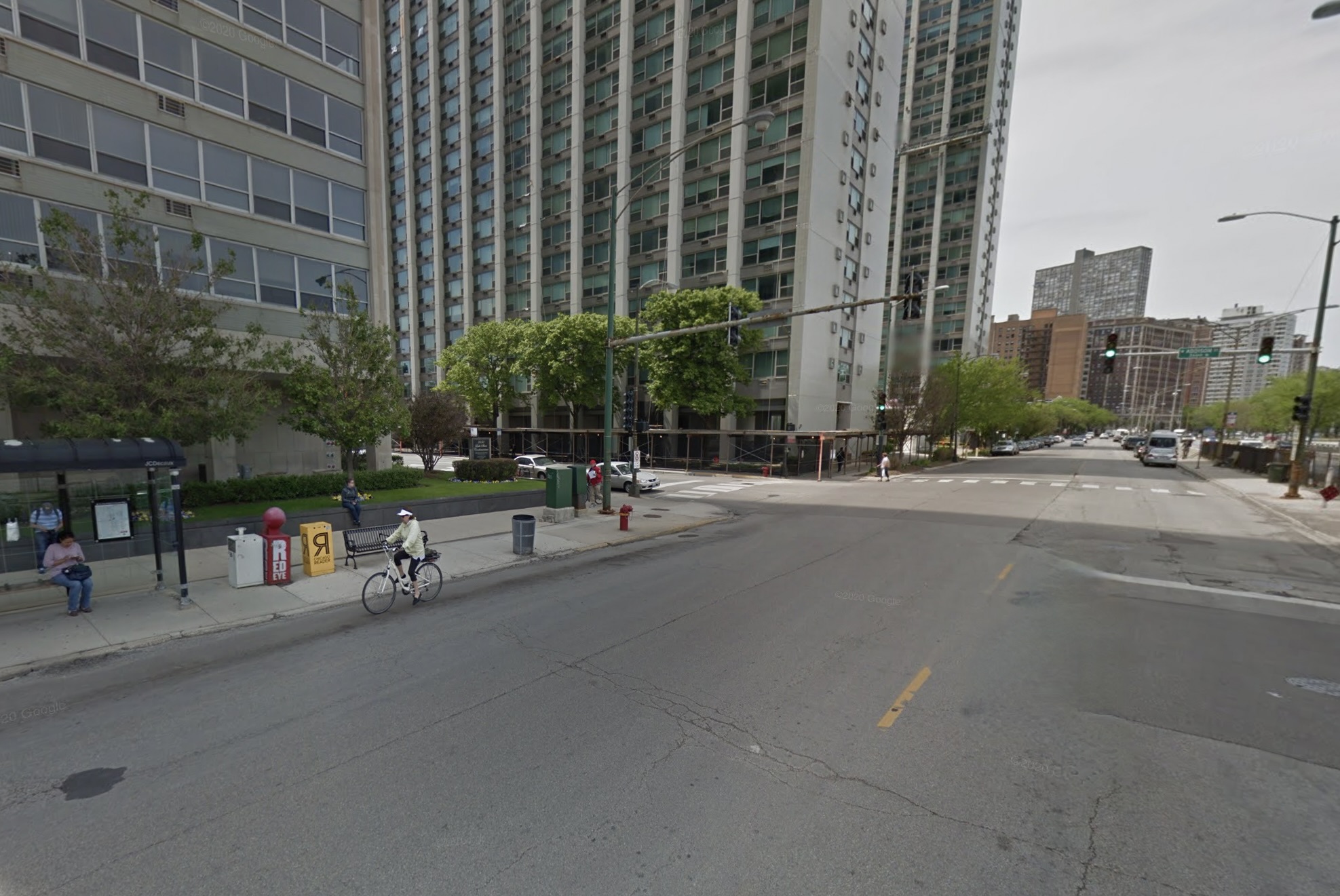
There are drawbacks to developing more housing on Western Avenue, and similar roadways. These arterials have heavy traffic congestion during busy times, and dangerous speeding is common when traffic is light. Air pollution and traffic noise also make these arterials less healthy places to live.
Of course, apartments should be allowed everywhere in Chicago, especially on safer and healthier residential streets. But currently there are many restrictions and the zoning map bans multifamily housing from 41 percent of the city.
Vasquez notes that converting mixed-traffic lanes to bus-only lanes for bus rapid transit would make Western a more efficient route for travel across the city, and a better place to live. "BRT is a great compliment to [the proactive zoning on Western], but [BRT] is more about making more effective and efficient multimodal transportation networks across the city."
The 40th Ward is holding a public meeting today, Wednesday May 29, from 6-7 p.m. at the Warren Park fieldhouse, 6601 N. Western Ave. "We will show what led us to this point, as well as what’s being proposed for zoning, and really discussing this as a path forward to create more density and affordability, rather than just waiting on proposals to help get affordable units at a smaller scale."
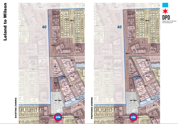
Then on Monday, June 10, from 6-7 PM, the 47th Ward will hold a community meeting about the proactive zoning changes proposed on the portion of Western in that ward. The hearing will be held at The Gardner School, 3819 N. Western Ave.
List of ordinances to effect these upzonings, from approximately north to south:

Did you appreciate this post? Please consider making a tax-deductible donation to support Streetsblog Chicago's paywall-free sustainable transportation reporting and advocacy.
