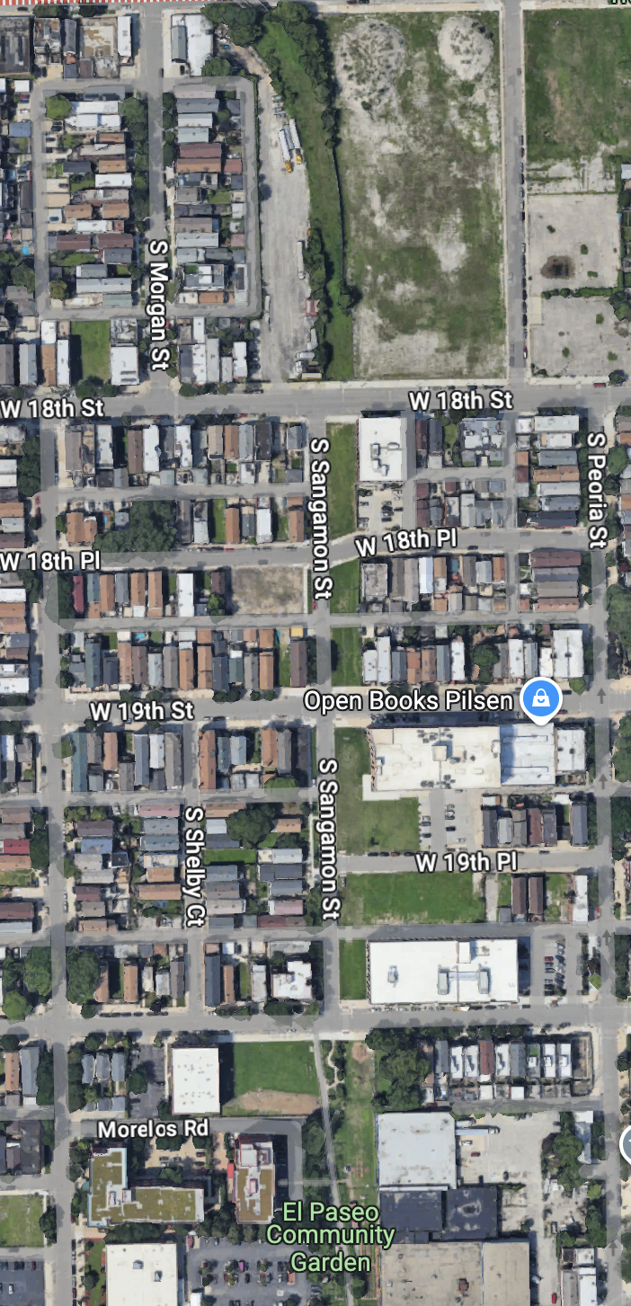
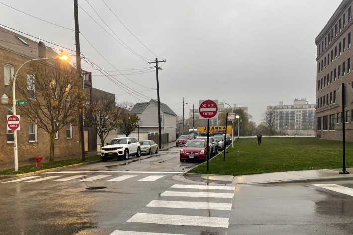
Earlier this month, a 64-year-old man died from injuries he suffered in October, when a hit-and-run Jeep driver struck him on the 1900 block of South Union Avenue (700 W.), besides the Dan Ryan Expressway in Pilsen. Exactly one week after his death, residents gathered for a community meeting to discuss the possibility of rebooting the proposal for El Paseo Trail. That would be a rails-to-trails bike-pedestrian route, which would run just three blocks west of the crash site.
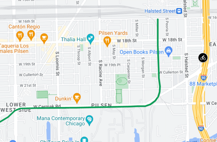
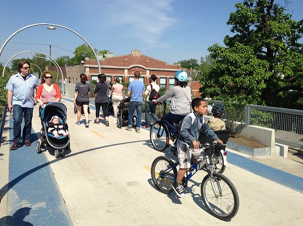
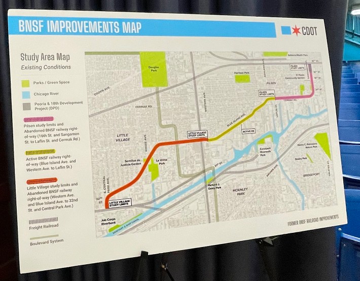
In 2022, the City shelved the plan to renovate a disused BNSF Railroad right-of-way. That was largely due to concerns that the new path would make the land around the corridor more valuable and accelerate housing displacement, similar to what happened with the Bloomingdale Trail on the Near Northwest Side. The BNSF corridor from runs 16th and Sangamon streets (930 W.) to 32nd Street and Central Park Avenue (3600 W.), passing through Pilsen and Little Village, heavily Mexican-American neighborhoods facing gentrification pressures.
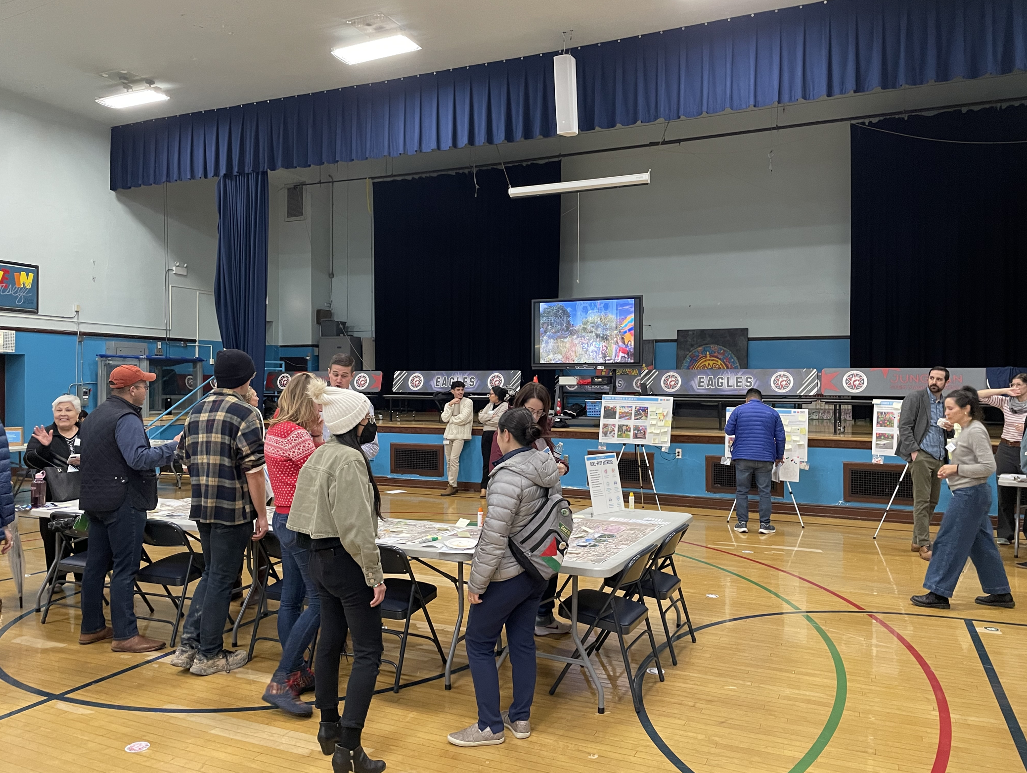
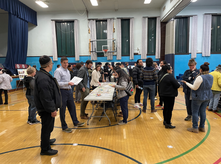
The Chicago Department of Transportation hosted the recent meeting to get feedback from residents on what kind of upgrades they might want to see on the corridorm also it's not yet certain that a trail will be built. The session was held at Joseph Jungman Stem Magnet School, 1746 S. Miller St., in an open house format. There were no official presentations, but participants encouraged to check out display boards and talk to CDOT staff members.
"CDOT is working with community members and organizations who have long wanted to transform this abandoned industrial space into something beneficial for residents," department spokesperson Erica Schroeder told Streetsblog. "By reimagining how the BNSF railway right-of-way can be used, community members have a unique opportunity to encourage social connection, support the local economy, and preserve their neighborhood identity."
At the event, CDOT provided Post-it Notes at various stations so attendees could write down what they would like to see. Food and beverages were also available for the people who braved the elements to show up and let their opinions be heard.
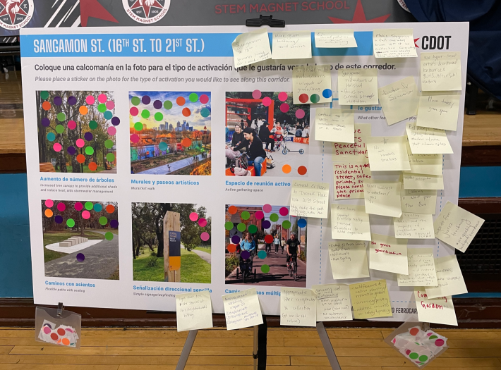
Phil, a participant who declined to provide his last name, said he was excited by the large turnout. "Obviously [there's a] community, and hopefully people's thoughts and vision for what this could be are communicated to CDOT and CDOT can hopefully push this further, push this to the next step." He added that he's interested in "public space programming," and that Pilsen would benefit from more green space.
He wasn't alone in that thinking. Hillary Fenrich was also excited about the possibility of additional green spaces. "They're good for taking in the pollution that's around us, for instance, from the railroads or from the heavy car congestion that we have," she said. "They support stormwater management. And they just make you happier. There's just so many benefits, but it's nice to see green spaces being one of the things that people are thinking more about."
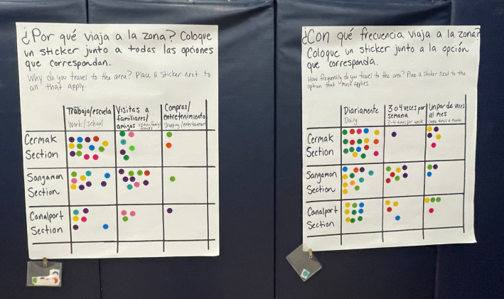
Fenrich added that many community members voiced enthusiasm for creating a connected bike-ped corridor, where people could walk, run, and bike on the the same trail. "It just shows that Pilsen [residents] wants to be connected with one another, and they want to be connected to nature."
According to a flier handed out at the event, the project builds on previous studies that were conducted between 2010 and 2023 to "address community preservation, redeveloping or improving land use, increasing public open space, and housing affordability." Based on this research, CDOT came up with different categories for the way the corridor might be used. Those included "Safe Active Transportation and recreation for all ages, Connection to the river and neighboring parks, Creative Placemaking to build awareness of local history, and Park and Green Spaces to improve community health."
An attendee named Oscar said he thinks a new trail would exacerbate existing issues with housing displacement in Pilsen. "I know we've seen that with the Bloomingdale Trail, The 606, up north, where property taxes or property prices have increased along where the trail is now," he said. "I don't see a way to prevent that, but I also don't think that we should minimize the opportunities for residents to enjoy green space and an outdoor trail here in our neighborhood."
"CDOT is closely collaborating with the Department of Planning and Development as well as the Department of Housing to ensure that community needs are front and center of these types of public infrastructure investments and that guardrails are in place to curb forces of gentrification/displacement," Erica Schroeder said.
This current BNSF upgrades project would begin with the BNSF right-of-way in Pilsen, then move on to Little Village, and then finish with the BNSF tracks that run parallel to diagonal Blue Island Avenue, starting at Ashland Avenue (1600 W.) According to Schroeder, CDOT hopes to present a community-preferred alternative in 2026. "Projects such as these are long-term efforts with multiple phases" she said. "A Framework Plan is the first phase."
Along the way, CDOT will also explore a Community Stewardship pilot program, where individual businesses, organizations, and community groups could participate in the four-mile public use area, according to the event flyer.
As the Bloomingdale Trail showed, it can be challenging act to create a wonderful public space in a gentrifying area without contributing to longtime residents being priced out. But this kind of displacement pressure is more evidence that great car-free spaces are needed citywide.

Did you appreciate this post? Please consider making a tax-deductible donation, to help keep Streetsblog Chicago's sustainable transportation news and advocacy articles paywall-free.
