Here’s the colorful story of how CTA ‘L’ lines got their hues
While it seems like the CTA’s lines have been designated with colors forever, it’s actually only been that way for a few decades. Last week marked the 30th anniversary of the CTA adopting its color-coded rail line system. The change happened on February 21, 1993, when the agency decided that instead of using streets or names for the lines, it would use a color designation, hence the birth of the Blue Line, Red Line, Green Line, and so forth.
“The designation of CTA lines by a color-coded system was a major step in creating the modern CTA rail system that exists today,” stated CTA President Dorval Carter, Jr. on the 25th anniversary of the color-coding system in February 2018. “The easier-to-navigate system moves millions of people every year, and we continue to invest in improvements that enhance the commuting experience with track upgrades, new and upgraded stations, updated technology, and new trains and buses.”

The CTA began the process by changing the maps and signs to get the citizens used to the new designations. The person who designed the newly color-coded CTA system map was longtime Chicago cartographer Dennis McClendon, who has only recently started his custom cartography company. In 2007, McClendon lost the contract to continue his work with the CTA. A few years later, in 2014, he became Regional Transportation Authority’s map contractor, in addition to his map work for tourism, publishing, and real estate.
According to the CTA’s 2018 press release, the “goal of naming rail lines by color was to make the rail system more user-friendly, particularly for new or occasional riders, out-of-town visitors and commuters who speak English as a second language.”
McClendon corroborated that. “There had been several different attempts to give the lines names,” he said. “Their historic names were always there, but I think a lot of folks would have just referred to what we now call the Green Line South as the South Side Elevated rather than thinking of it as the Jackson Park Line and the Englewood Line. That probably came about in the ’60s or ’70s. At one point, there was a post-1969 attempt to call them by these kind of geographic designators, like the West-Northwest Line for what we call the Blue Line today. And the West South for the old Lake Dan Ryan connection. But those never caught on. They were what appeared on the signage, the maps that were posted in the stations, but you never really heard the public use those names.”
“Then in the ’90s, they added the color names to the designations and some of those quickly caught on, especially for the pairing that were new, namely the hour Dan Ryan line and the Lake to South Side because those were new marriages between partners that had never been linked up before,” McClendon explained. “So they had to have a name and the people immediately called those the Red Line and the Green Line. But the Ravenswood line nobody ever called it just the Brown Line until after ’95,” said McClendon.
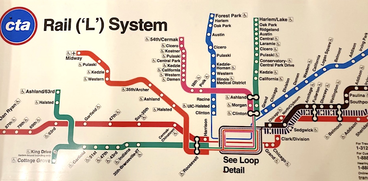
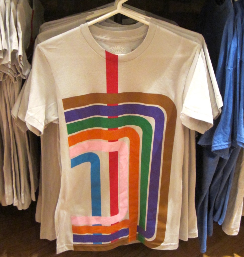
Here are some fun facts about each of the rail lines from the 2018 CTA release:
- The Red Line was first created in 1993 when the Howard Line was linked with the Dan Ryan Line via the State Street Subway in addition to a new connector track between 13th/State and 18th/Clark. Its designation was logical as red not only stood out on maps but was also previously used for the north-south route on early 1970s transit maps. It is also the only train route that links two major baseball fields.
- The Green Line consists of Chicago’s two oldest lines: the Lake Street and South Side Lines. The portion between Congress Street and Pershing was completed in 1892. Its color was chosen because a green line marked its service on maps during the 1970s.
- The Blue Line is the second busiest line after the Red, the west-northwest route connecting Forest Park and O’Hare Airport. Blue was chosen for its color because that was what was used for portions of the route in the early 1970s.
- The Brown Line, completed on August 1, 1949, was the third busiest as of 2018. It was shown as a black line, and then purple, on maps in the ’70s. Some believe that brown was chosen to represent the “wooden” Ravenswood Line, although that may just be an urban legend.
- The Orange (Midway) Line, operating between the Loop and Midway Airport, was created on Halloween 1993. If you look at any maps created before 1993, you see orange used to designate the Skokie line, which later became the Yellow Line after the CTA chose orange for the Midway Line.
- The Pink Line is the most recent of the ‘L’ creations, having opened on June 25, 2006, through rerouting 64/Cermark service to the Loop through the Cermark (Douglas) branch, Paulina Connector, and Lake branch. While silver/gray was considered to be the line’s name, pink was chosen by a student who won a “Name the Line” essay contest.
- The Purple Line, running for four miles in Evanston and Wilmette, is another route that initially had a different color on maps during its pre-1993 years. Originally tan, purple is a possible reference to Northwestern University’s school colors. In 1912, a construction crew built a half-car platform and short spur track south of Linden and east of 4th Street in Wilmette under cover of darkness on April 1, but it wasn’t an April Fool’s Day joke. Eventually the line became popular with locals.
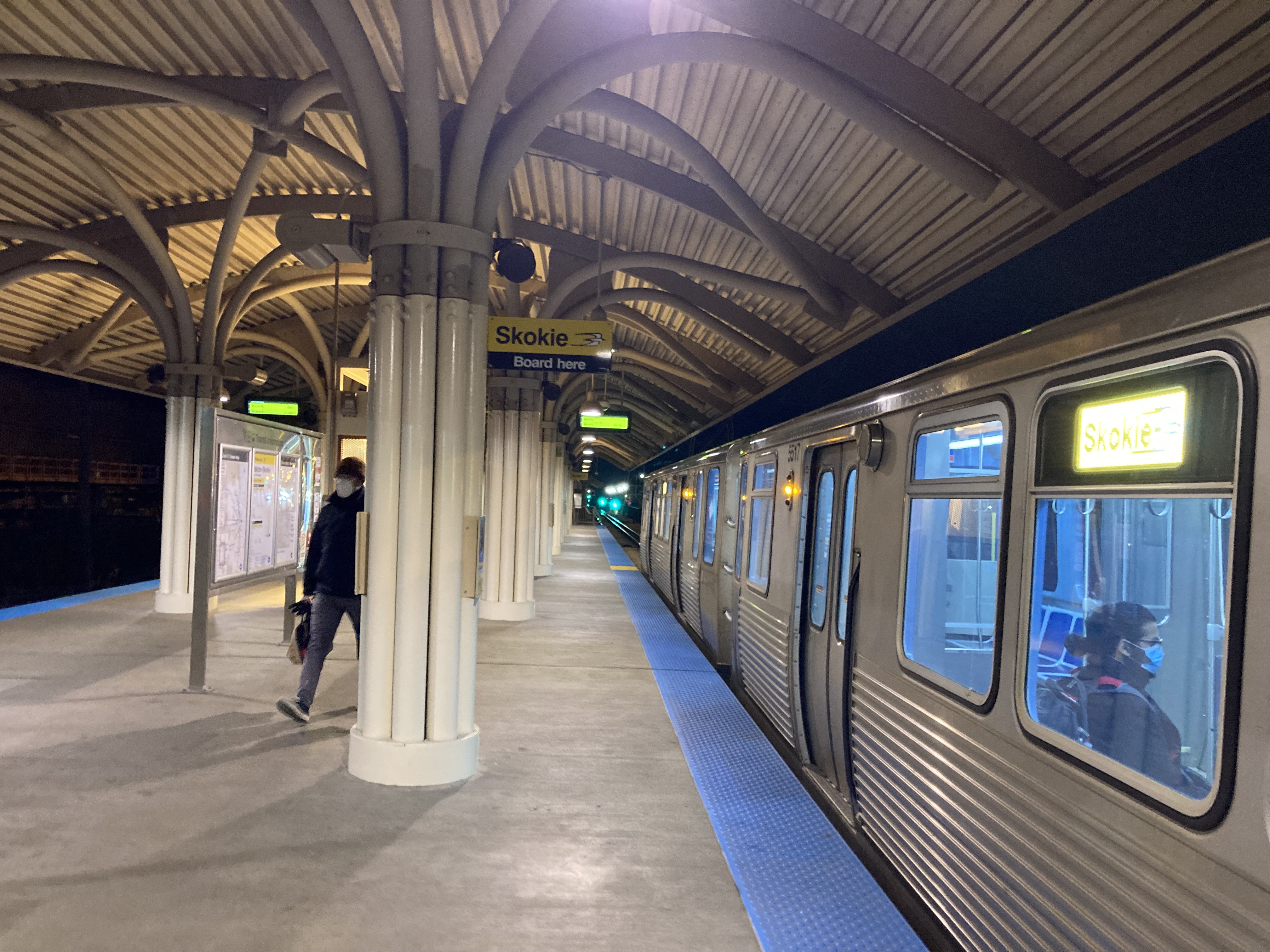
- The Yellow Line, aka the Skokie Swift, is distinguishable from the others by closely resembling a light rail operation. It’s also the only one that the CTA abandoned, and then later reopened. While yellow was the only popular color not in use, it’s also a difficult color to show on maps without a black border, so the CTA used it for its shortest route, limiting the possibility of printing issues.
According to McClendon, the colored designations weren’t something that originated in Chicago. “A report by Cambridge Systematics suggested doing this in Boston and sometime in the early 1970s, so that’s how Boston began referring to its rapid transit line… [And] Washington D.C.’s Metro opened with color names in 1976. Of course, there was only one line for a little while, but by 1980 they had some others, and so Washington has had them from the very beginning.”

Streetsblog has migrated to a new comment system. New commenters can register directly in the comments section of any article. Returning commenters: your previous comments and display name have been preserved, but you'll need to reclaim your account by clicking "Forgot your password?" on the sign-in form, entering your email, and following the verification link to set a new password — this is required because passwords could not be carried over during the migration. For questions, contact tips@streetsblog.org.