Leland Slow Street will be expanded west to the Chicago River tomorrow.
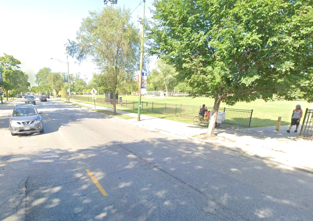
The Leland Avenue Slow Street (the city is calling it a “Shared Street”), which currently runs about a mile between Clark Street and Lincoln Avenue in Ravenswood, has been a huge hit with residents. Now it’s about to get even better, as a new, roughly half-mile section of Leland will open as a Slow Street between Western Avenue and the Chicago River on Friday. 47th Ward alderman Matt Martin tweeted out the news this afternoon.
🚲 Shared Streets Update 🚲@ChicagoDOT has informed us that the Leland Shared Street will be extended to the River in the 47th ward.
They will be placing barricades and signage tomorrow morning. pic.twitter.com/X5lPl0i9s3
— Alderman Matt Martin (@AldMattMartin) June 18, 2020
“We’re excited about this,” said 47th Ward director of development and infrastructure Josh Mark. The stretch of Leland west of Western is the border between Martin’s district and that of 40th Ward alderman Andre Vasquez. “We’re collaborating with the 40th Ward on this — they’ve been a great partner.”
“I look forward to [the new Slow Street] and future opportunities in the ward to engage with neighbors,” Vasquez said. He added that in the near future he’s planning to host an online town hall on Slow Streets and other interventions to make walking, biking, and outdoor dining safer during the pandemic.
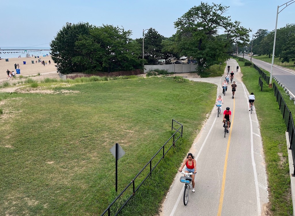
Before COVID crisis, Martin and Vasquez had already done extensive outreach about continuing the existing Leland neighborhood Greenway, a traffic-calmed side-street route that currently extends from Clark to the lakefront, west of Clark to the river. Since Leland has one-way eastbound sections between the river and Western, and between Damen Avenue and Clark, the greenway would include contraflow (“wrong-way”) bike lanes on these stretches.
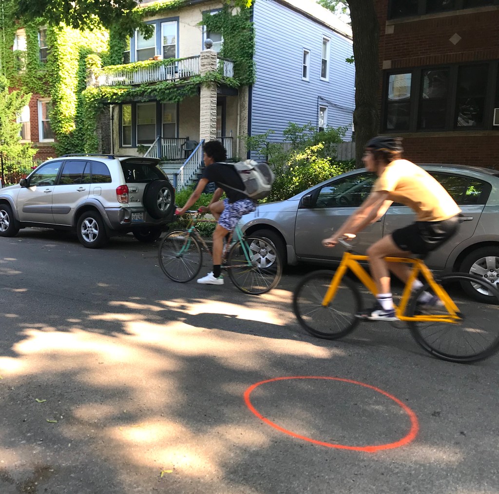
The Leland Slow Street is essentially a dry run for the greenway. While the Chicago Department of Transportation hasn’t provided an answer on whether it’s technically legal to bide contraflow on Slow Streets, the fact is that plenty of people are currently doing that on sections of Leland with and without Slow Street barricades and traffic barrels. So the extension of the Slow Street, and later the greenway, will just make that existing practice safer.
Josh Mark said he’s pleased to extend the Slow Street west of western, because while the existing stretch on Leland is mostly lined with single-family homes with lawns, this part of the ward has higher density, with many six-flats, so there’s less available open space. “I’m glad we’re bringing this to an area that needs that.”
Mark added that Alderman Martin is currently looking into other possible walk/bike interventions in the ward, including on retail streets. “We had to push for the first couple of Slow Streets, so we’re going to keep pushing.”
There have been some complaints about drivers not complying with the no-through-traffic rule on Leland, and when I dropped by today, a CDOT staffer was marking locations for more info signs. There have been similar issues on the new Slow Street route that parallels the (currently closed, but reopening Monday) Bloomingdale Trail in Logan Square and Bucktown, and CDOT confirmed that more signs will be added on that corridor soon as well.

Read More:
Streetsblog has migrated to a new comment system. New commenters can register directly in the comments section of any article. Returning commenters: your previous comments and display name have been preserved, but you'll need to reclaim your account by clicking "Forgot your password?" on the sign-in form, entering your email, and following the verification link to set a new password — this is required because passwords could not be carried over during the migration. For questions, contact tips@streetsblog.org.