Take a virtual ride on the new Riverview bike/ped bridge
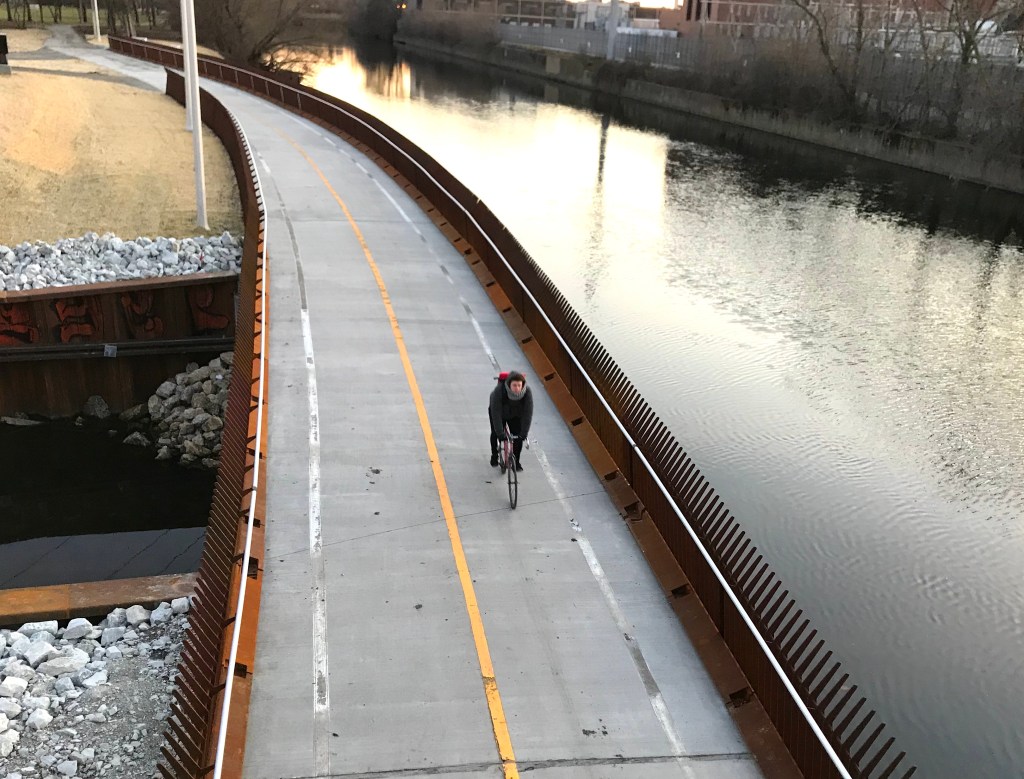
 Chicago has a slew of new or upcoming bike and pedestrian bridges, including architecturally interesting spans over Lake Shore Drive at 35th Street, 41st Street, and 43rd Street (upcoming); the partially completed Navy Pier Flyover; and the nearly finished Lincoln Village Bridge, aka the (Berny) Stone Bridge.One of the most interesting is the Riverview Bridge, which opened without fanfare last month on the North Branch of the Chicago River on the border of the Avondale, Irving Park, and North Center community areas. Named for the storied amusement park that used to stand at the northwest corner of Belmont and Western, it’s the longest bike/ped river bridge in the city, at more than 1,000 feet long and 16 feet wide. The new causeway’s southern terminus is the east bank of the river at Clark Park, the green space between Belmont Avenue and Addison Street, just west of Lane Tech high school.
Like much of recent Chicago sustainable transportation infrastructure, the new span seems to follow the city’s “When in doubt go with something Santiago Calatrava-esque” design philosophy. See also the Loop Link and Union Station Transit Center bus shelters, as well as the Washington-Wabash ‘L’ station – all of which are vaguely reminiscent of whale vertebrae.
The bridge passes under the Addison vehicular bridge and crosses the river to the west bank in a serpentine manner at an elevation of more than 18 feet to allow recreational boaters to pass underneath. The northern terminus of the span is in California Park, which includes the McFetridge Sports Center, just south of Grace Street.
As it stands, the simplest way to access the bridge from the north is to take a park path east from California Avenue, just south of the California Park basketball courts.
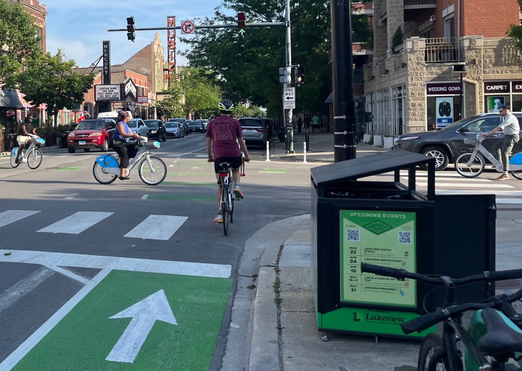
From the south, you can access the north-south bike path in Clark Park from a ramp on the North Side of Belmont just east of the river and take the path north to the Riverview Bridge. Note that this four-lane stretch of Belmont isn’t particularly bike-friendly, because the CTA pushed back against a plan for a road diet with bike lanes here. I also wouldn’t recommend crossing north on Belmont to the ramp from Rockwell Street if you’re not a confident urban cyclist, since it’s located at the top of a small hill where it’s tricky to see oncoming motorized traffic.
The map I’ve created to the right shows reasonably bikeable streets for heading to and from the bridge, plus the off-street paths it connects with. Click here to view the Google Map version if you need the street names. As it stands, the Riverview Bridge is handiest for people traveling northwest or southeast.
For example, if you like in Albany Park and work downtown, in the morning you might access the bridge from California and Grace, take the path south through Clark Park and exit at Belmont, and then head east to the Clybourn bike lanes, which will take you several miles southeast towards the Loop. (Again, watch out while crossing Belmont at the path access ramp, or else take the lightly-traveled sidewalk east to Campbell Avenue, where you can safely cross Belmont with a stoplight.)
The city is currently working on an underbridge at busy Irving Park Road, due for completion in late 2020, which will allow you to connect between California Park and Horner Park, located on the west side of the river between Irving Park and Montrose Avenue. When that’s finished, you’ll be able to walk, jog or bike all the way between Belmont and Montrose car-free. (There are park paths in Horner Park you can use to travel between Irving Park and Montrose.)
That’s about 1.5 miles, or more than half the length of the 2.7-mile Bloomingdale Trail, which will make the full route, which the city is calling the 312 RiverRun, a nice recreational amenity. And from Montrose you can take the Manor Avenue neighborhood greenway, a low-stress on-street route, to Lawrence Avenue. From there you can take the North Shore Channel Trail all the way to northern Evanston.
So it’s serendipitous that a developer is proposing to build 40 affordable apartments, plus six market-rate apartments at the Ruby Dry Cleaners site at Montrose and California, northwest of Horner Park. The proximity of the 312 RiverRun would be a great recreation and transportation amenity for the new residents. The developer will meet with neighbors December 16 at 7 p.m. at Horner Park Fieldhouse, 2741 W. Montrose Ave.

Read More:
Streetsblog has migrated to a new comment system. New commenters can register directly in the comments section of any article. Returning commenters: your previous comments and display name have been preserved, but you'll need to reclaim your account by clicking "Forgot your password?" on the sign-in form, entering your email, and following the verification link to set a new password — this is required because passwords could not be carried over during the migration. For questions, contact tips@streetsblog.org.