Eyes on the Street: A Road Diet of Sorts on Chestnut by the Hancock Tower
A new striped median has transformed a de-facto three-lane street into a two-lane, which is hopefully calming traffic somewhat. Photo: Anna Weaver

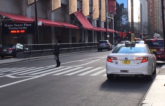
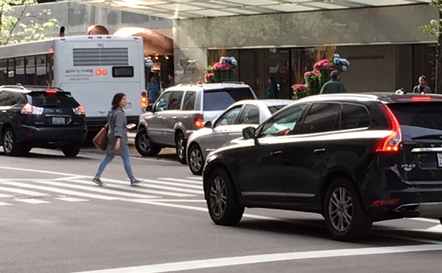
Streetsblog reader Anna Weaver alerted me to an interesting new pavement marking treatment on Chestnut Street between the Hancock Tower and Water Tower Place. While the block previously had no lane markings, making it a de-facto three-lane westbound street, the city recently striped a median that serves as a bit of a road diet, transforming it to a two-lane thoroughfare. Hopefully, this is calming traffic somewhat.
That’s not to say that the block is currently a pedestrian paradise. There’s a busy mid-block crosswalk between the two tourist attractions. Judging from numerous photos Anna sent, people on foot still have to navigate a snarl of traffic, and driver’s aren’t always obeying the state law by yielding to people in the crosswalk.
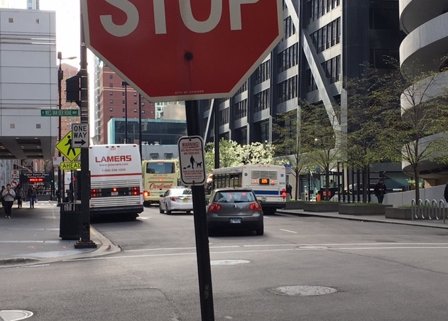
There are a couple of yellow diamond “Pedestrians Ahead” signs at the next intersection east, at Mies Van Der Rohe Way. But, as Anna pointed out, the caution sign on the south side of Chestnut is obscured by a light pole and "One-Way" sign. The two signs are also located half a block away from the mid-block crossing, perhaps too far away to give a timely warning.
What the mid-block crossing is really crying out for is a “State Law: Stop for Pedestrians Within Crosswalk” sign. As you can see from this August 2016 Google Street View, it used to have one installed in the middle of the street, right before the crosswalk.
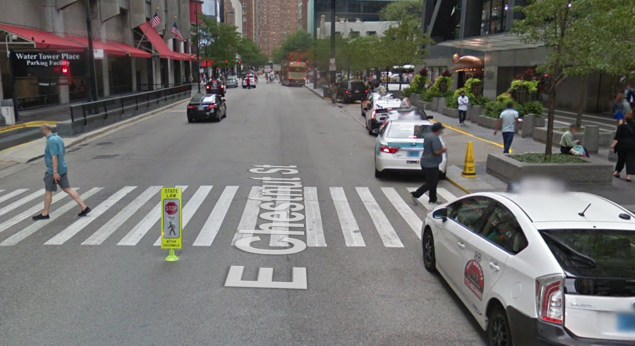
However, Anna says multiple “Stop for Pedestrians” were installed at this location, destroyed by drivers, and then obliterated again. She says it seemed to be the only such sign in the 42nd Ward. Since the sign hasn’t been reinstalled along with the new striping, perhaps the city has given up on in-stalling in-road signs at this location. A good alternative might be to install signs on poles on the sidewalk, where they’d be relatively safe from getting run over.
This post is made possible by a grant from the Illinois Bicycle Lawyers at Keating Law Offices, P.C., a Chicago, Illinois law firm committed to representing pedestrians and cyclists. The content is Streetsblog Chicago's own, and Keating Law Offices neither endorses the content nor exercises any editorial control.
Read More:
Stay in touch
Sign up for our free newsletter
More from Streetsblog Chicago

Which Metra corridor would become more bike-friendly and greener under a new plan? Ravenswood!
Thanks to plans to convert little-used parking spaces, the avenue is slated to get a new bike lane, and the Winnslie Parkway path and garden will be extended south.


They can drive 25: At committee meeting residents, panelist support lowering Chicago’s default speed limit
While there's no ordinance yet, the next steps are to draft one, take a committee vote and, if it passes, put it before the full City Council.