Eyes on the street: Completing the DNC Security Perimeter Ride by bicycle
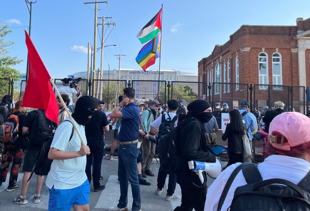

When I read about the DNC security perimeters for the United Center and McCormick Place, I thought pedaling around the stadium on still-accessible streets might shed light on DNC-related transportation issues and protest matters. That is, the nearest streets around the United Center that the Chicago Police Department is allowing civilians to access.
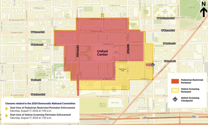
Here’s the tentative City map for the United Center area during the DNC, released a few days ago. It turned out to be somewhat fluid as the authorities adjusted to various happenings like rallies and marches protesting the Israel-Hamas war.
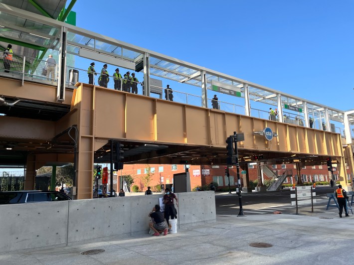
I asked a police officer near the new Damen Green Line station about the inexact security boundaries. “I’m just trying to ride around the entire perimeter,” I explained. “Good luck!” he replied.
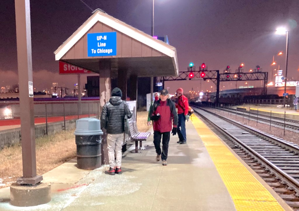
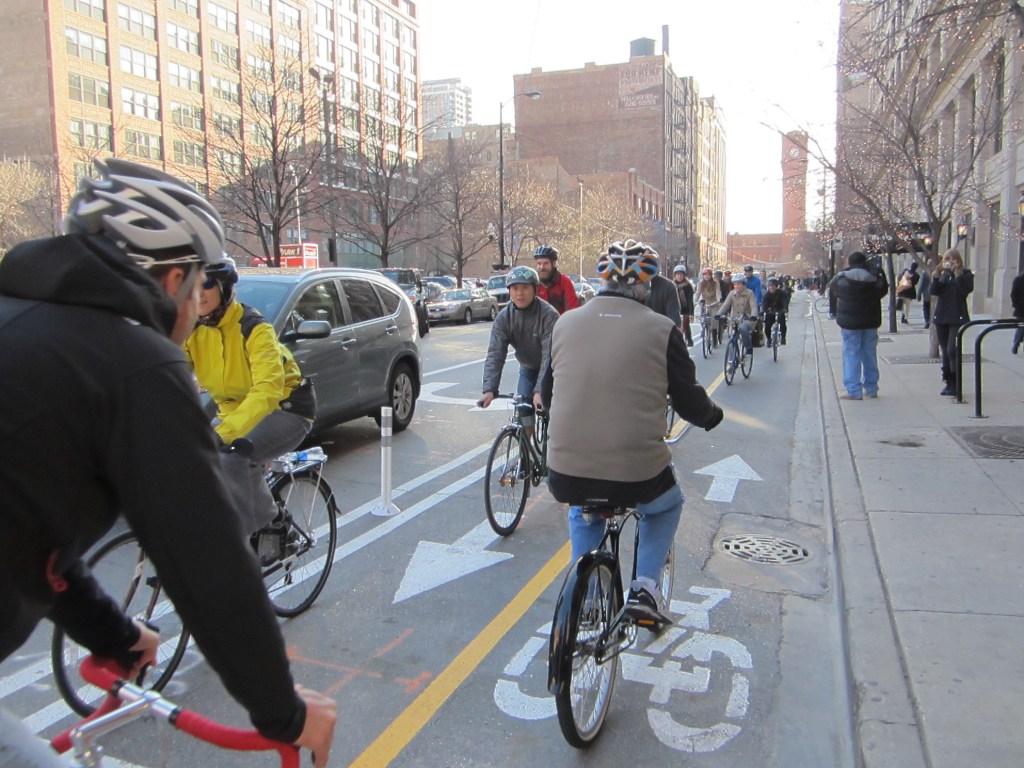
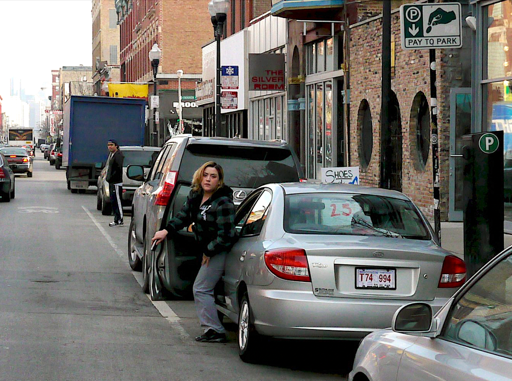
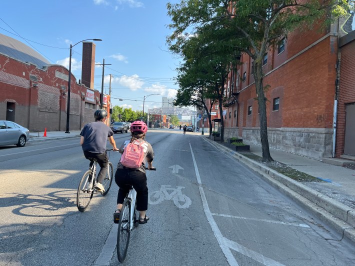
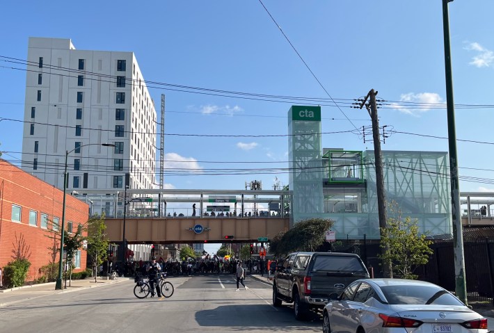
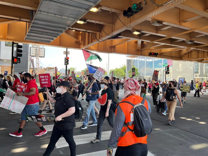
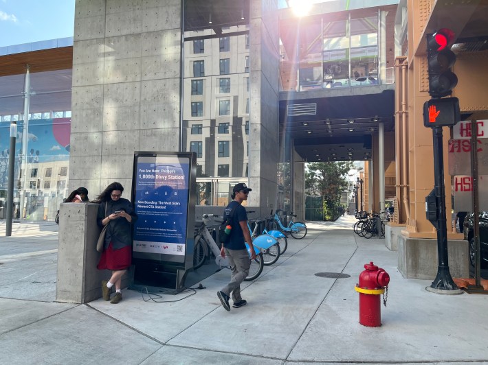
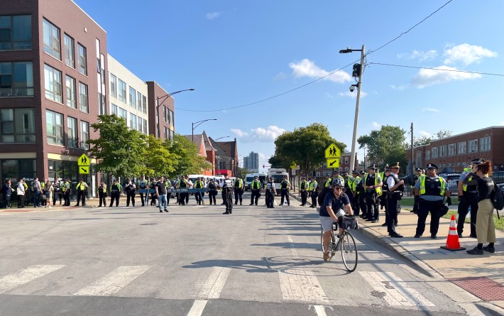
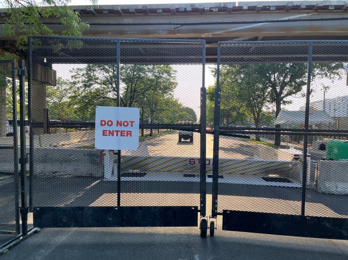
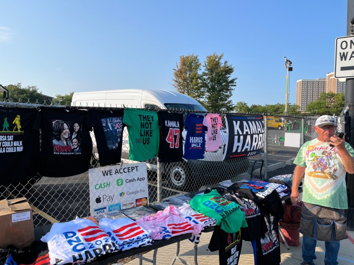
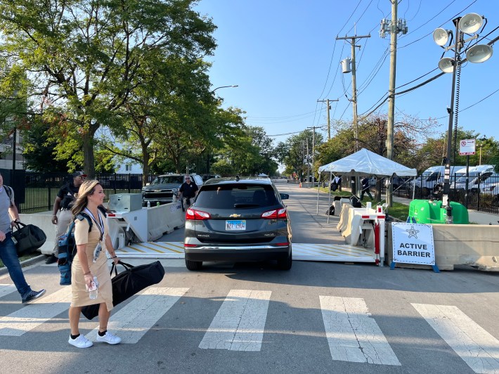
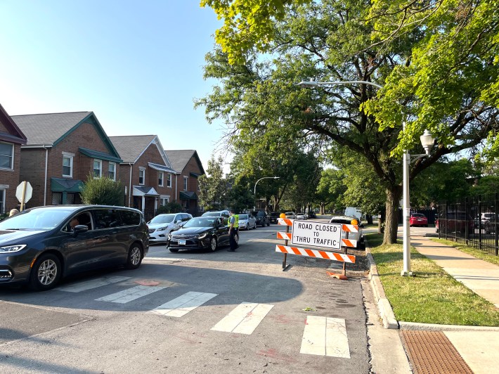
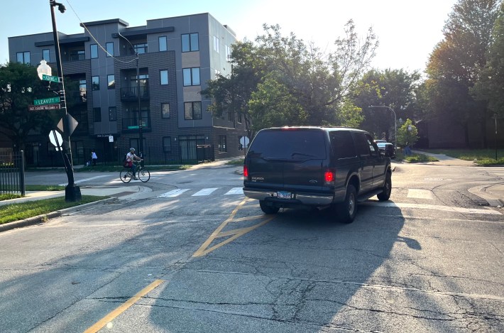
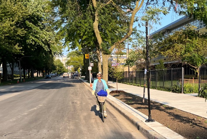
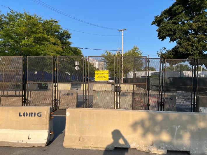
What follows is a gallery of what I saw on the clockwise route I rode around the security perimeter for the United Center yesterday, roughly between 5 and 6 p.m. I took all the photos, and there’s commentary in the captions.
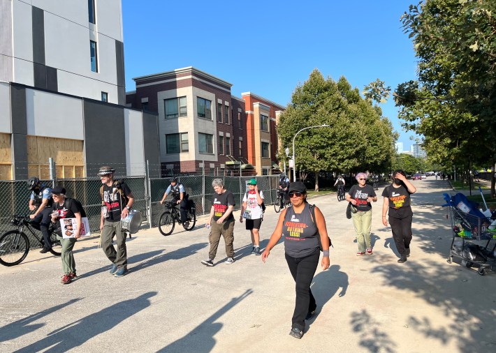
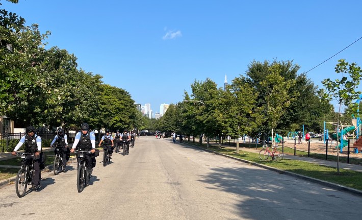
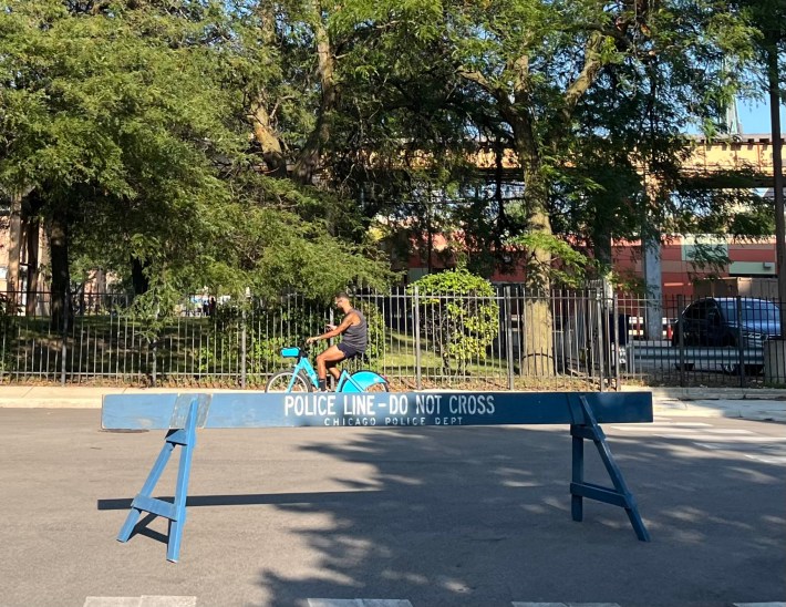
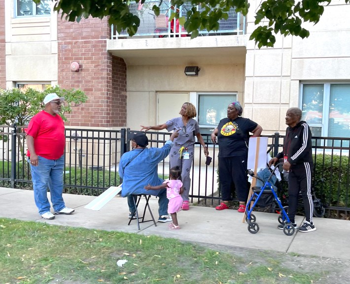
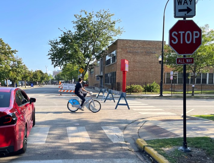
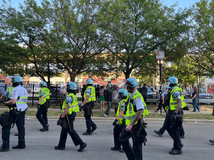
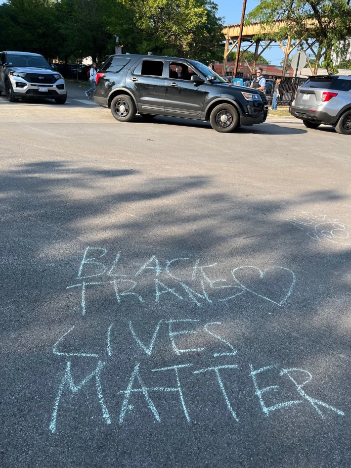
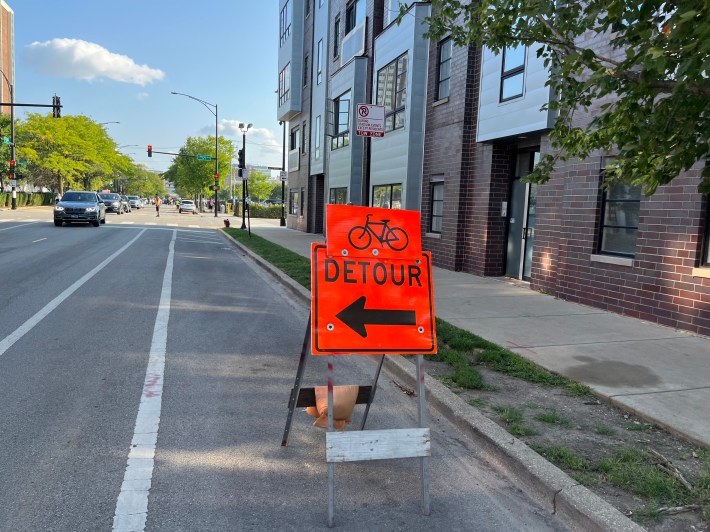

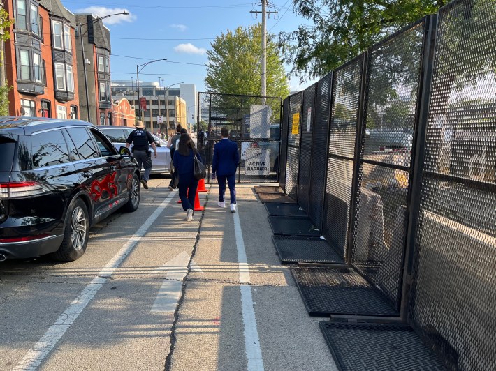

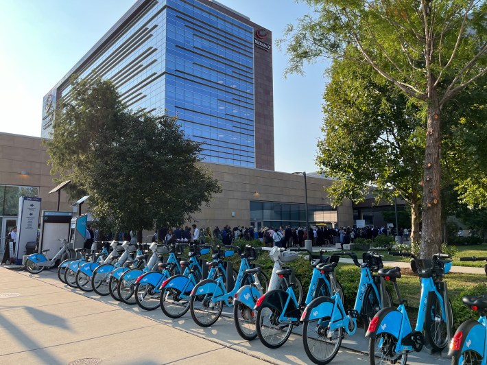
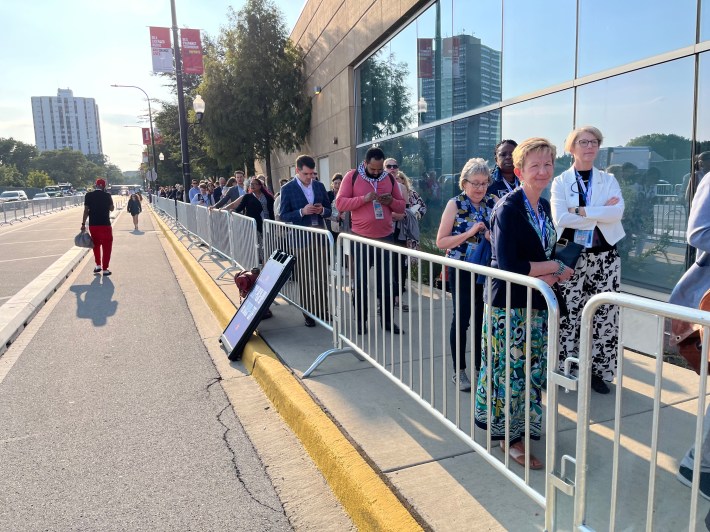
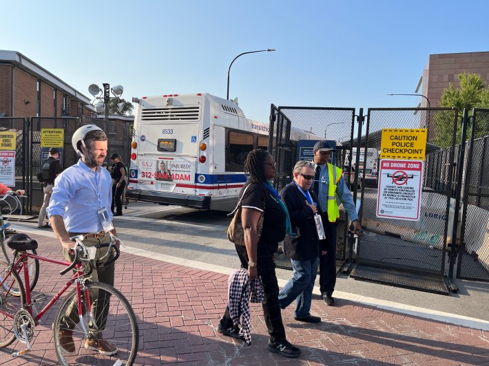
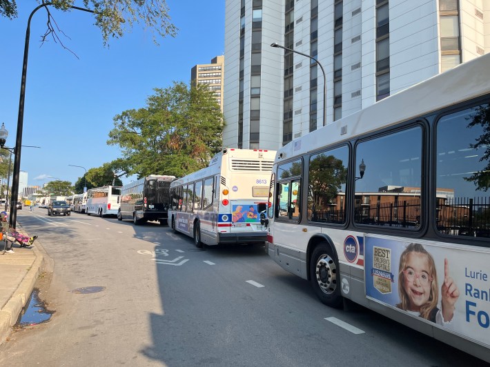
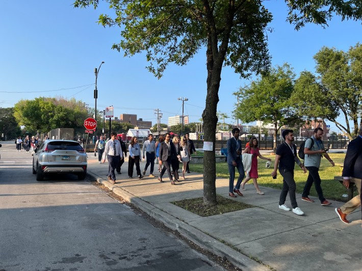
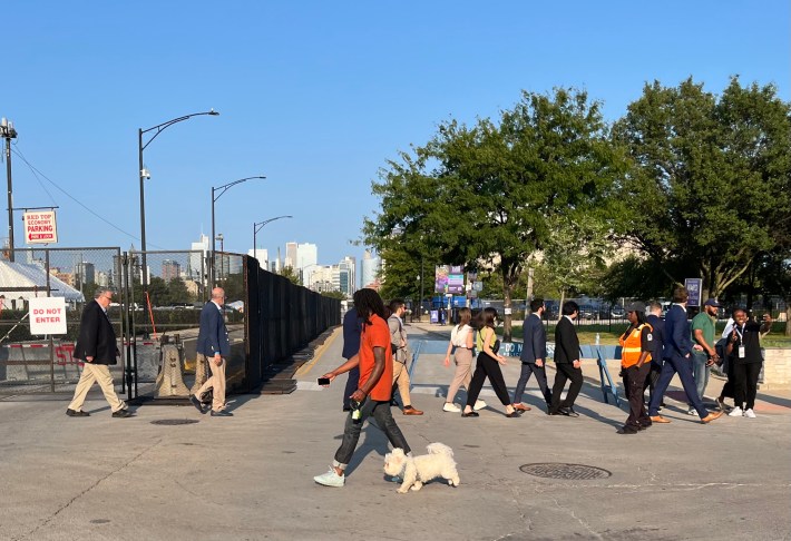
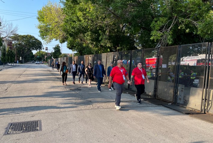
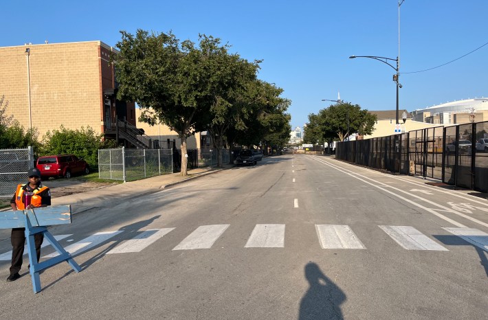
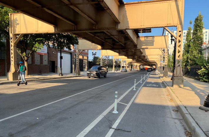
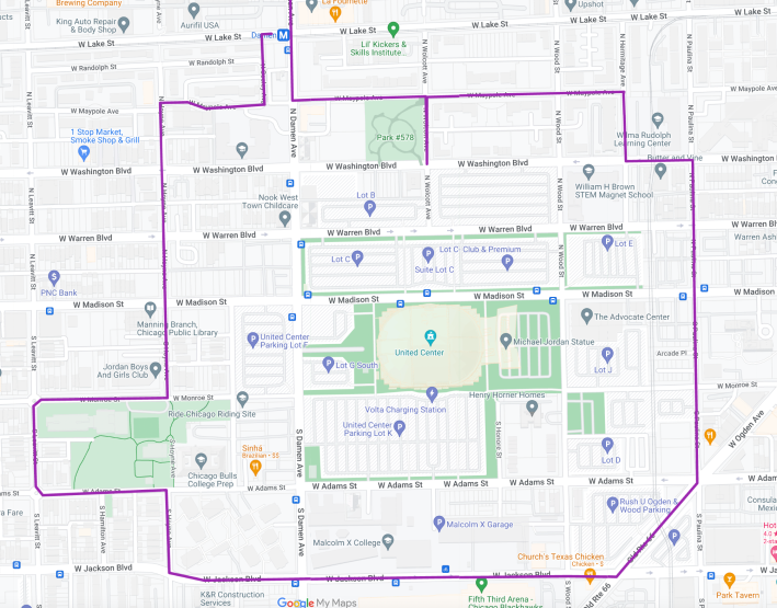
Overall, it was a fascinating ride that opened my eyes a bit about how DNC transportation matters – and demonstrations – are functioning. If you feel like taking this route for a spin yourself, you can access my Google Map here.

Did you appreciate this post? Please consider making a tax-deductible donation, to help keep Streetsblog Chicago’s sustainable transportation news and advocacy articles paywall-free.

Read More:
Streetsblog has migrated to a new comment system. New commenters can register directly in the comments section of any article. Returning commenters: your previous comments and display name have been preserved, but you'll need to reclaim your account by clicking "Forgot your password?" on the sign-in form, entering your email, and following the verification link to set a new password — this is required because passwords could not be carried over during the migration. For questions, contact tips@streetsblog.org.