One Howard Street project kicks off Saturday. Here’s how to improve the corridor.
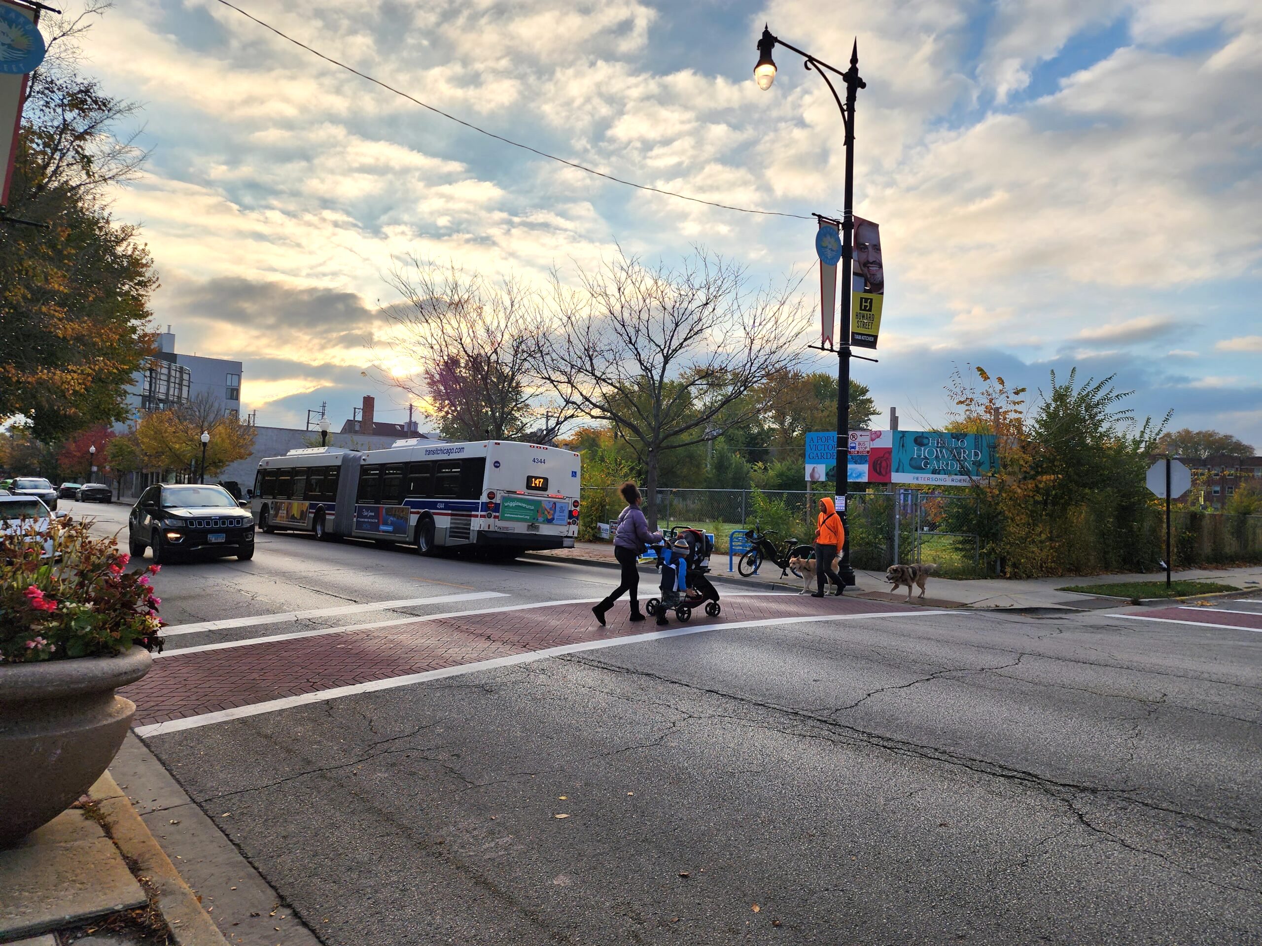
Crossing Howard Street near the local community garden. Photo: RPBA
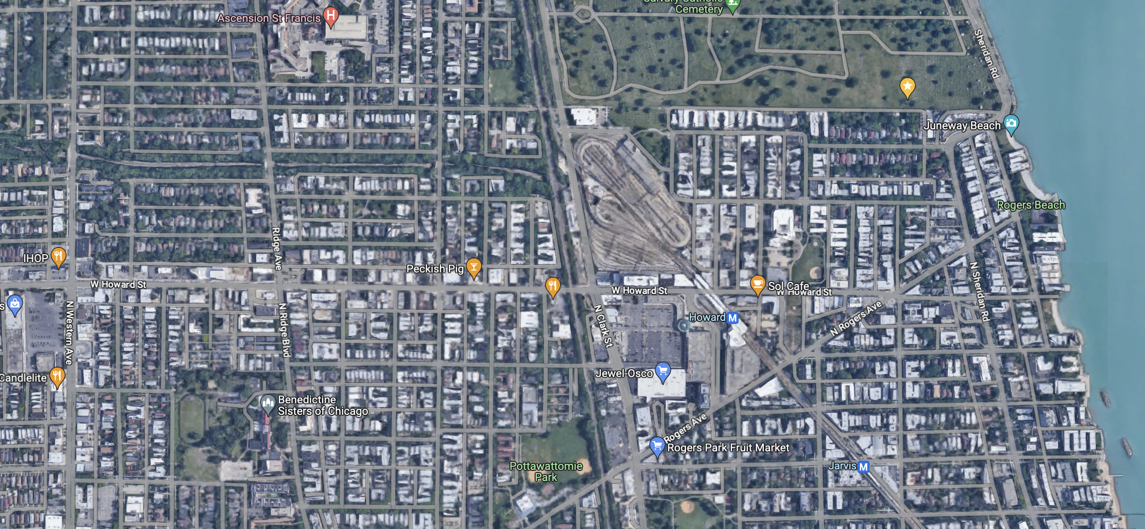
The Rogers Park Business Alliance, the city of Chicago and the city of Evanston have joined forces to launch the One Howard Street Corridor Recovery Plan. The project that aims to bring economic revitalization to the approximately 1.2 mile stretch of Howard Street between Asbury Avenue / Western Avenue to the west and Sheridan Road to the east. Howard forms the border between the city and the suburb.
This inter-municipal effort is being funded through the RISE program (Research in Illinois to Spur Economic Recovery), which is in turn bankrolled by the federal American Rescue Plan Act. The RPBA was named a grant recipient in December 2022 and awarded just over $99,000. One Howard Street is the only RISE recipient in the Chicagoland area.
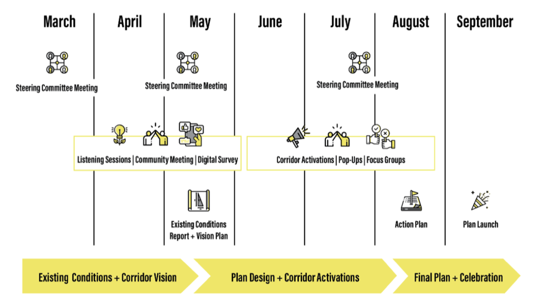
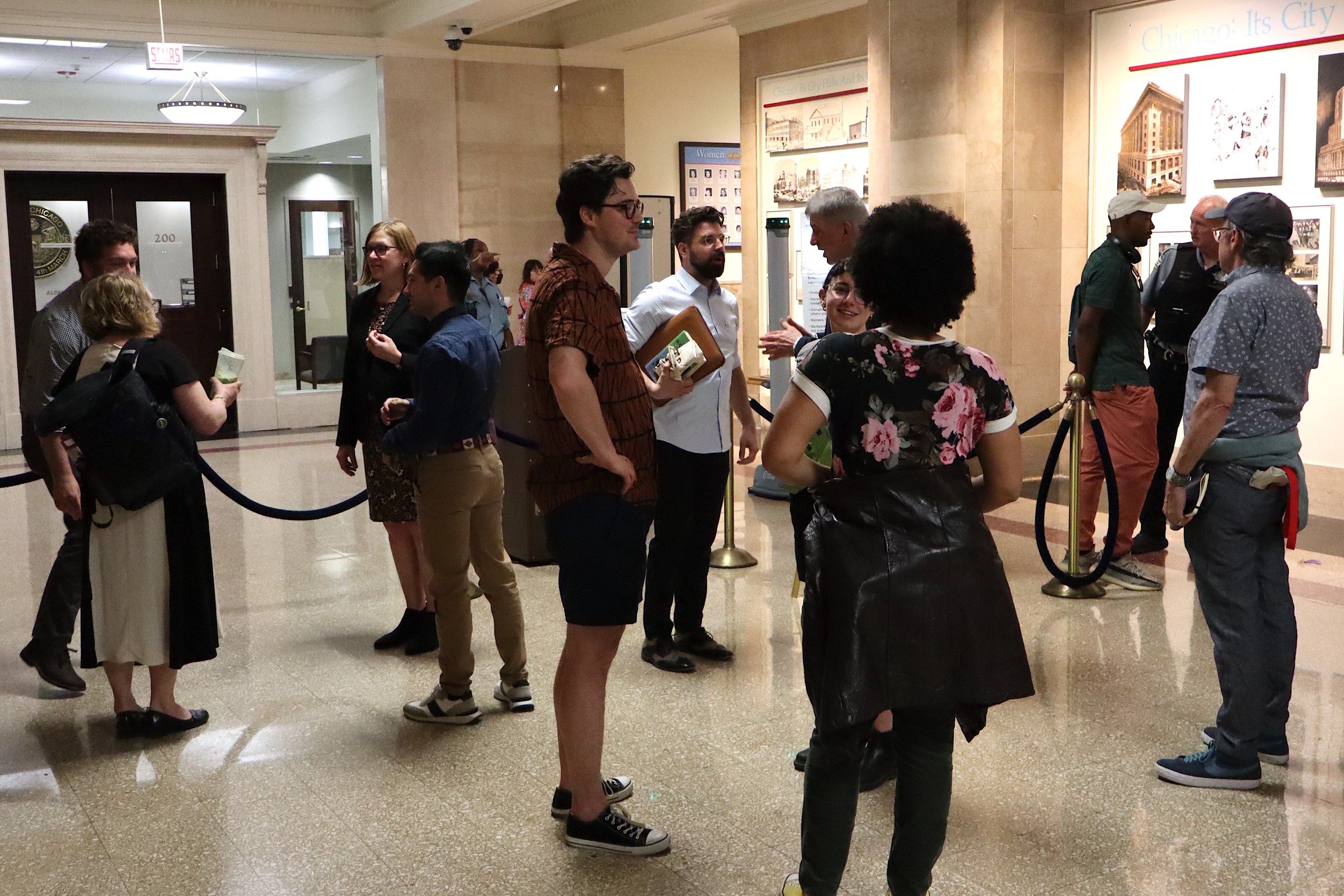
One Howard Street launched last month with its first steering committee meeting and aims to be wrapped up by this September. The proposed timeline includes three steering committee meetings, an existing conditions report, and an array of public engagement strategies: listening session, a community meeting, a digital survey, corridor activations, pop-ups, and focus groups. The steering committee, found on the project’s info page, consists of Evanston and Chicago residents, business owners, educators, and municipal representatives.
The project seems to be mostly a planning process that is focused on public and stakeholder engagement, with the goal of producing a community-supported action plan to bolster economic recovery. Project representatives cited collaboration and commercial revitalization as focuses.
In a statement, Evanston mayor Daniel Biss highlighted the uniqueness of the grant and the intermunicipal collaboration, and emphasized that the plan could be helpful to local businesses. “We are confident that by conducting and inclusive planning process with key stakeholders—those who live, work, and are invested in Howard Street—we can establish a strong vision for the corridor that ensures its long-term resiliency, business growth, and vibrancy.”
The goals of the project are somewhat undefined, but that's not necessarily a bad thing this early in the process. Vague ideas about “safety,” “prosperity,” and “corridor-related issues” can be clarified and refined throughout the planning process. Also, a broad starting point fosters more meaningful community input and ownership. It’s better for the people to shape the goals and ideas themselves than be told what the goals and ideas are from the start—we want to go beyond community input and have true community co-authorship of the plan. We will have to wait and see (and participate – make your voice heard!) what other aims and objectives might develop from the planning and engagement process. What does Howard Street need?
Here are some of my ideas for this stretch of Howard of Street:
Bike lanes
On this section of Howard, there are currently only bike lanes on a few blocks between Ridge Avenue and Paulina Street. Once you pass under the Howard 'L' station, heading east, they disappear. And the bike lanes that are in place are painted "door zone" lanes that could be upgraded. As it stands, much of the right-of-way at intersections is allocated to turn lanes for drivers.
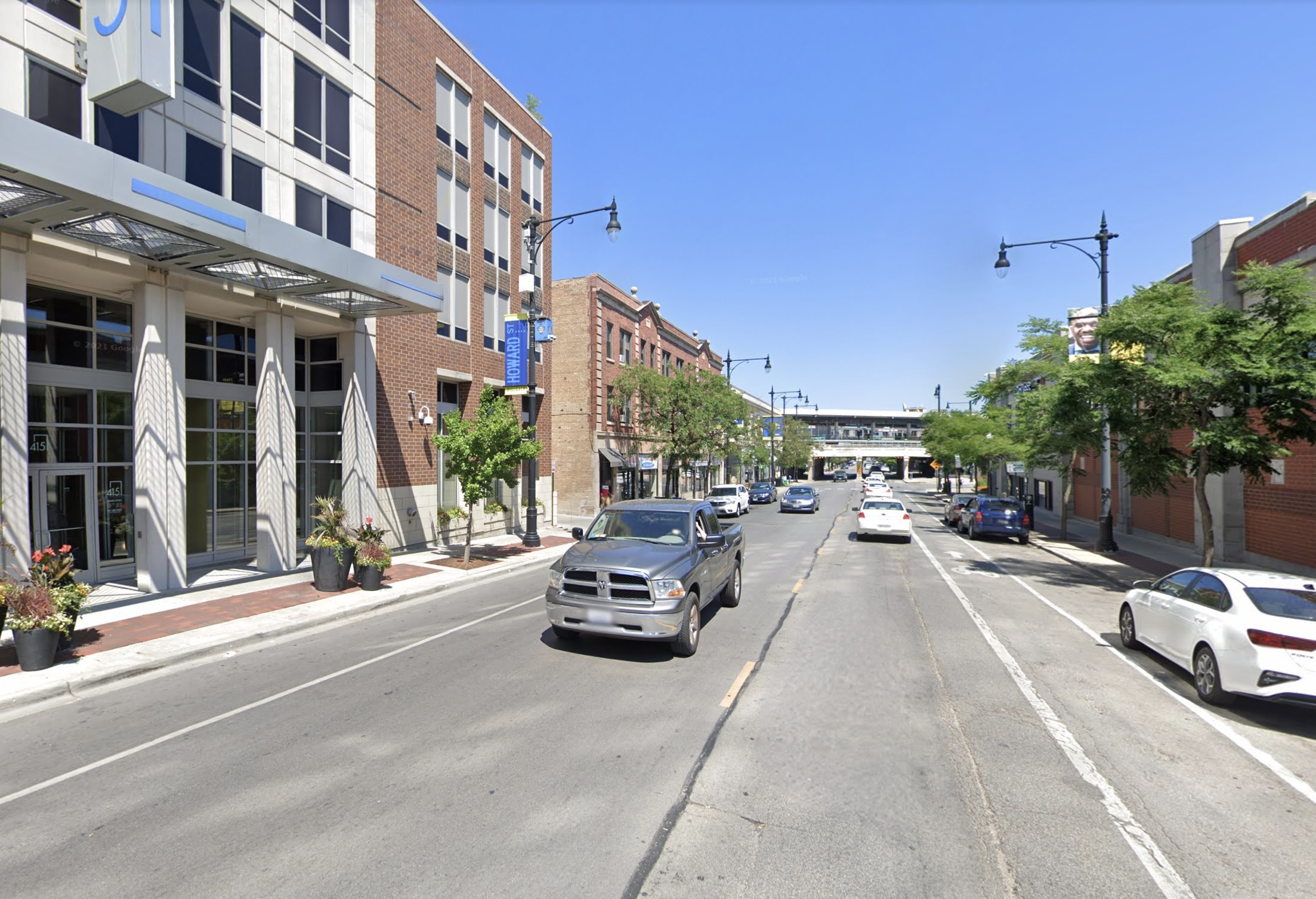
Extending (and improving) the bike lanes east of Paulina is a great opportunity to create a new connection to the Lakefront Trail.
Street width
The section of Howard Street between Asbury/Western and Ridge is very wide, with two mixed-traffic lanes in each direction. It's more of a road than a street. On-street parking only seems to be allowed sporadically along this section of Howard, and exclusively on the south/Chicago side of the street.
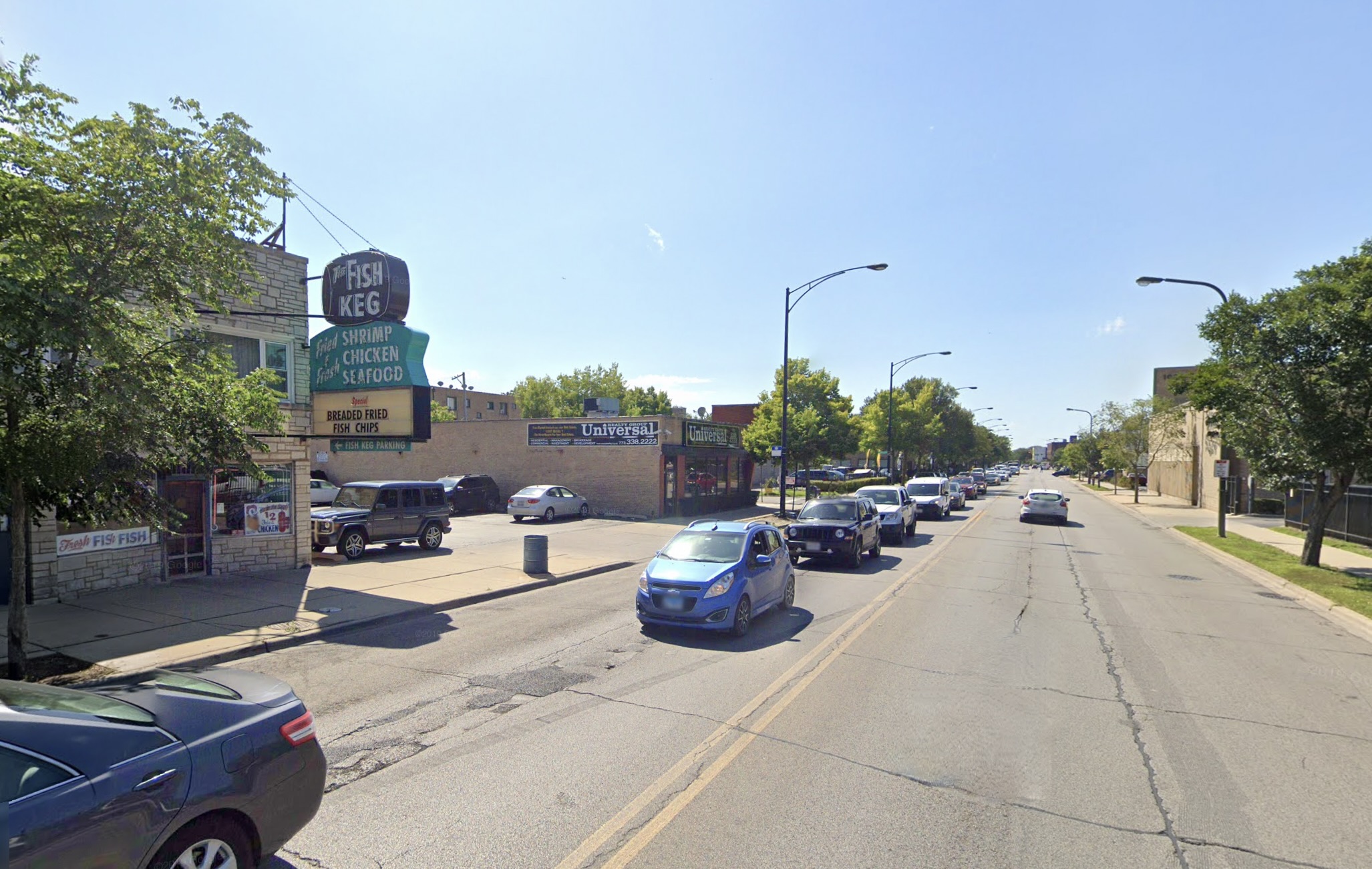
East of Ridge, there is one travel lane in either direction and a lane of curbside parking on either side of the street. Even though that space is still being taken up by cars, having a buffer of parked cars between moving traffic and the sidewalk makes for a much nicer pedestrian environment and allow for better bike lanes. Repurposing those travel lanes as on-street parking spaces and/or protected or raised bike lanes would make a big difference west of Ridge. And maybe we could add some curb cuts?
Bring the building frontages closer to the street
There are many lot of lots along Howard Street with off-street parking located on the street side, and the building itself set farther back. This is a major deterrent for pedestrians to access businesses, and it makes the corridor less attractive. It prioritizes cars over people and doesn’t create a strong sense of place.
'The alternative is to have buildings closer to the street, placed right up against the sidewalk. Many of the buildings on Howard do abut the sidewalk, but there are gaps, and filling them with buildings – ideally with visible, interesting commercial space on the ground level – would improve the urban realm.
These are just my initial thoughts, and are maybe not even within the scope of this project. But I see a lot of room for improvements that would make Howard a much nicer place to spend time. If you ideas to make Howard Street better, this project is an opportunity to share them.
The first community engagement event is the One Howard Street Public Workshop and Day of Service this Saturday, April 22 from 10 a.m. to noon at Willye B. White Park, 1610 W. Howard St. This Earth Day event will include a park clean-up, information about the One Howard Street planning process, and a chance to share your vision for the future of Howard Street through hands-on activities. If you plan to attend please register here.
Stay in touch
Sign up for our free newsletter
More from Streetsblog Chicago
Which Metra corridor would become more bike-friendly and greener under a new plan? Ravenswood!
The avenue is slated to get a new Neighborhood Greenway bike route, and the Winnslie Parkway path and garden will be extended south.


They can drive 25: At committee meeting residents, panelist support lowering Chicago’s default speed limit
While there's no ordinance yet, the next steps are to draft one, take a committee vote and, if it passes, put it before the full City Council.
One agency to rule them all: Advocates are cautiously optimistic about proposed bill to combine the 4 Chicago area transit bureaus
The Active Transportation Alliance, Commuters Take Action, and Equiticity weigh in on the proposed legislation.