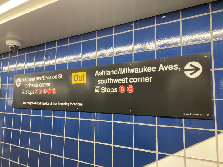
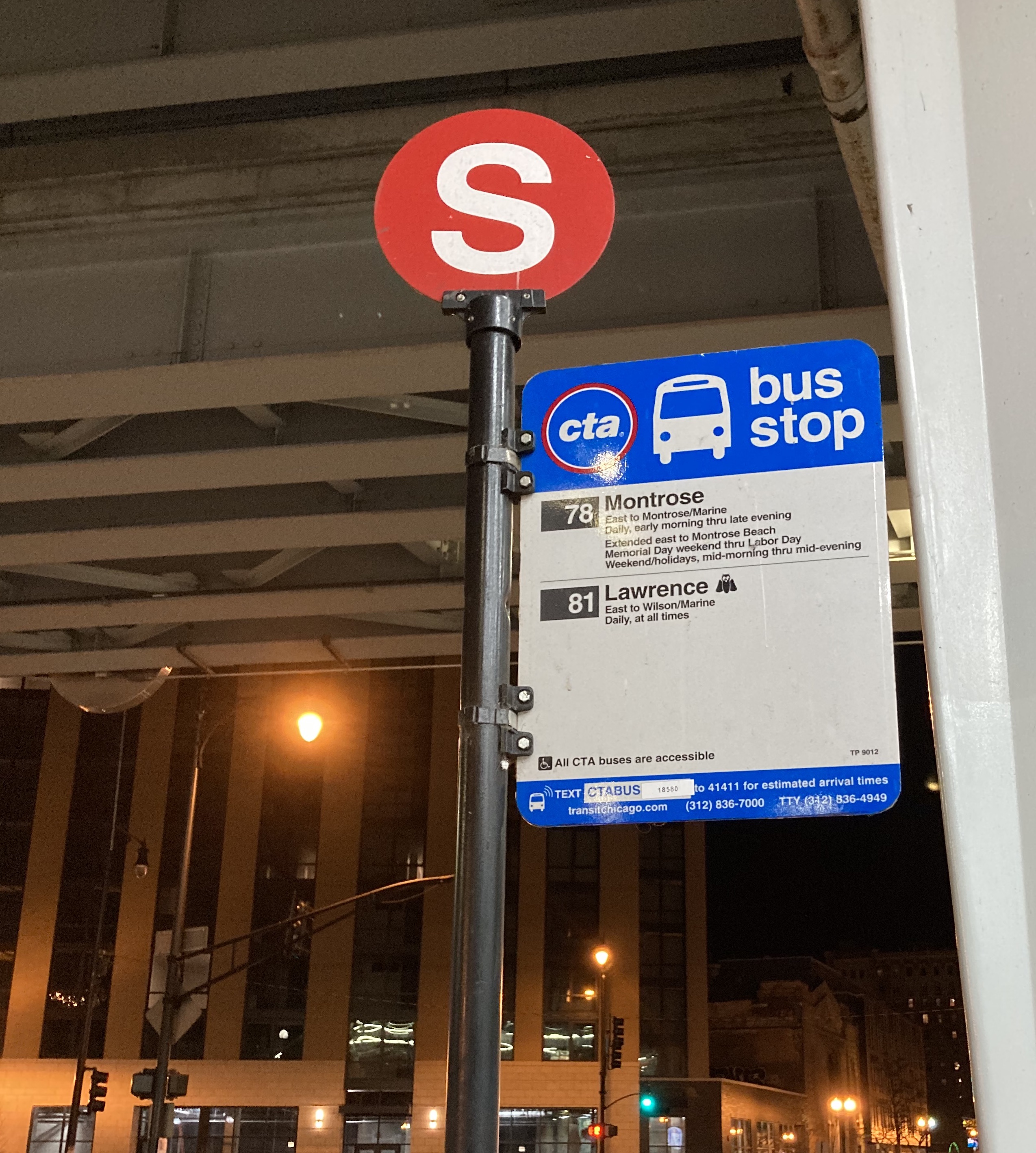
File this one under things I probably should have known about the CTA that only recently came on my radar. Not long ago I first noticed red circular signs with white letters affixed to the top of regular bus stop poles at Wilson station, my local 'L' stop. I figured they had something to do with finding one's way from the train to the correct bus line, but I wasn't sure exactly how the system functions.
I asked the CTA about the signs. "These stop letters are part of an effort we began a few years ago to improve upon and extend our larger intermodal wayfinding system," a CTA spokesperson told me. "These signs, which have been added at a number of stations/locations (such as the Union Station Transit Center and 95th Street) are designed to help people more easily identify which routes stop at which location."

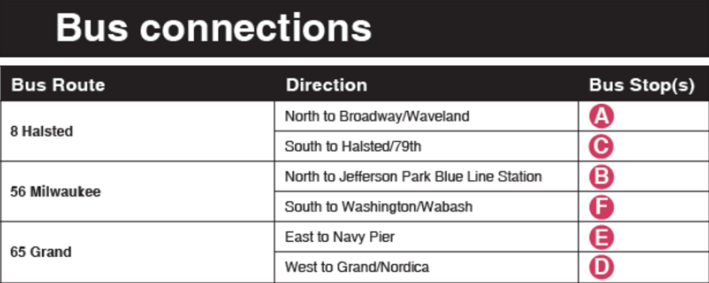
For example, the spokesperson said, someone exiting the Grand Blue Line station will find a neighborhood map in the station mezzanine that shows all the nearest bus stops for each connecting bus route, with the red signs showing the stop locations. "If you decide you want the #65 Grand bus toward Navy Pier, heading north as you leave the station you’ll see this both on the map and in a quick reference chart on the same poster that uses these symbols indicating to use Stop (E) for Navy Pier, like this:"

"Over time, these will become more and more common around the city as we bring this handy wayfinding cue to more and more locations," the spokesperson said.
Similarly, beginning in 2012, the Regional Transportation Authority has been using federal funding to add new wayfinding signs to ease transfers between CTA, Metra, Pace, and/or Amtrak at multimodal stations. Read more about that project here.

Did you appreciate this article? Please consider making a tax-deductible donation to help fund Streetsblog Chicago's next year of publication. Thanks!


