CDOT Will Create a Multi-Modal Transportation Plan for Altgeld Gardens Area
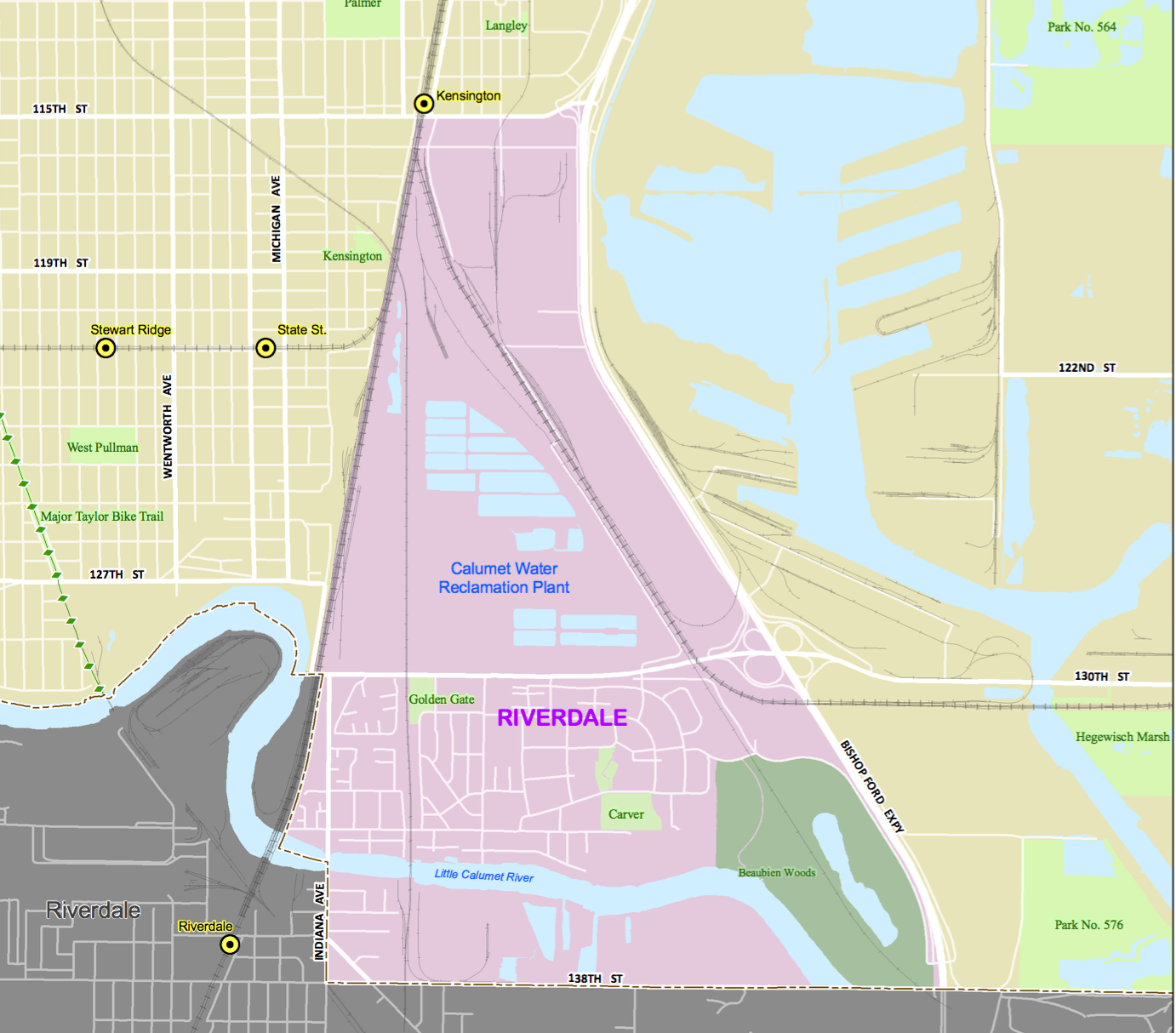
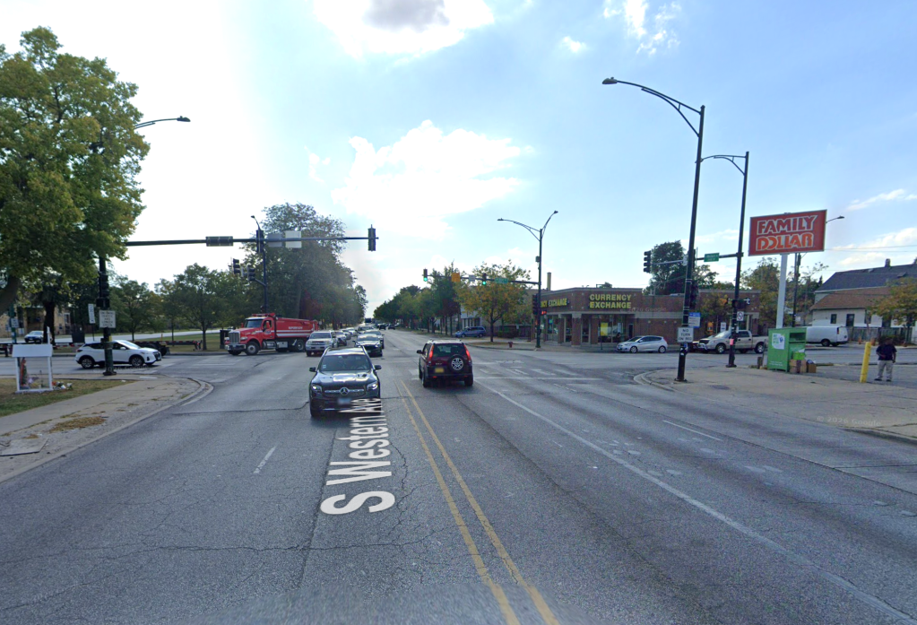
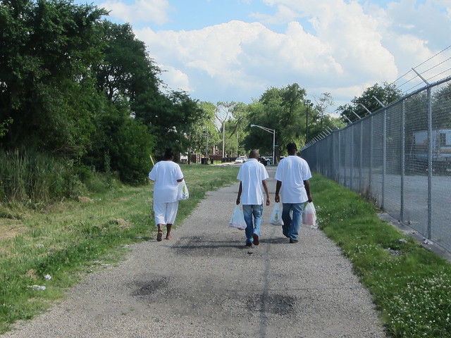
Residents in the Riverdale community area, which includes the Altgeld Gardens, Eden Green, Golden Gate, and Riverdale neighborhoods, are surrounded by barriers that make it hard to travel within and beyond the area. The Chicago Metropolitan Agency for Planning recently awarded the Chicago Department of Transportation a Local Technical Assistance grant to create a multi-modal transportation plan for the area. In the grant application [PDF] CDOT noted that Riverdale residents are hemmed in by large industrial land uses, the Bishop Ford Expressway, four railroads, and the Little Calumet River. Additionally, all of the arterial streets are recommend truck routes, “creating an additional challenge for people walking and biking due to high truck traffic and speeds.”
“There is a need to improve access to adjacent neighborhoods, recreational opportunities, transit service, and employment centers,” said CDOT spokesman Mike Claffey. He added that there are many “nearby developments…or existing resources that support active transportation…but are difficult to access via walking, biking, or transit.” These include the Cal-Sag Trail, Major Taylor Trail, Wolf Lake Trail System, Millennium Reserve, and the Pullman National Historic Monument. In addition, Claffey noted, local residents are in support of improving transportation options.
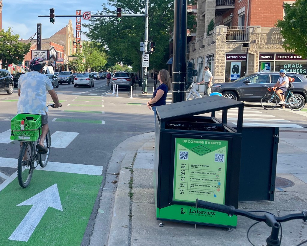
In the application, CDOT pointed out that there’s a much lower rate of car ownership in these communities compared to the rest of the city. The area has limited transit access, sidewalks are often missing, and there are no bikeways. The median household income ranges from $13,000 to $14,500, far below the city’s median of $47,250.
The transportation plan will be a collaborative effort, Claffey said. They’ll work with a local organization called the Safety & Transit Action Council, led by Deloris Lucas. CDOT said in the application that they would also involve other organizations working on nearby projects, including Friends of the Major Taylor Trail, Friends of the Cal-Sag Trail, the Southeast Environmental Task Force, and Slow Roll Chicago. We Keep You Rollin’, a new biking group that launched in the Riverdale area last February, will also be involved.
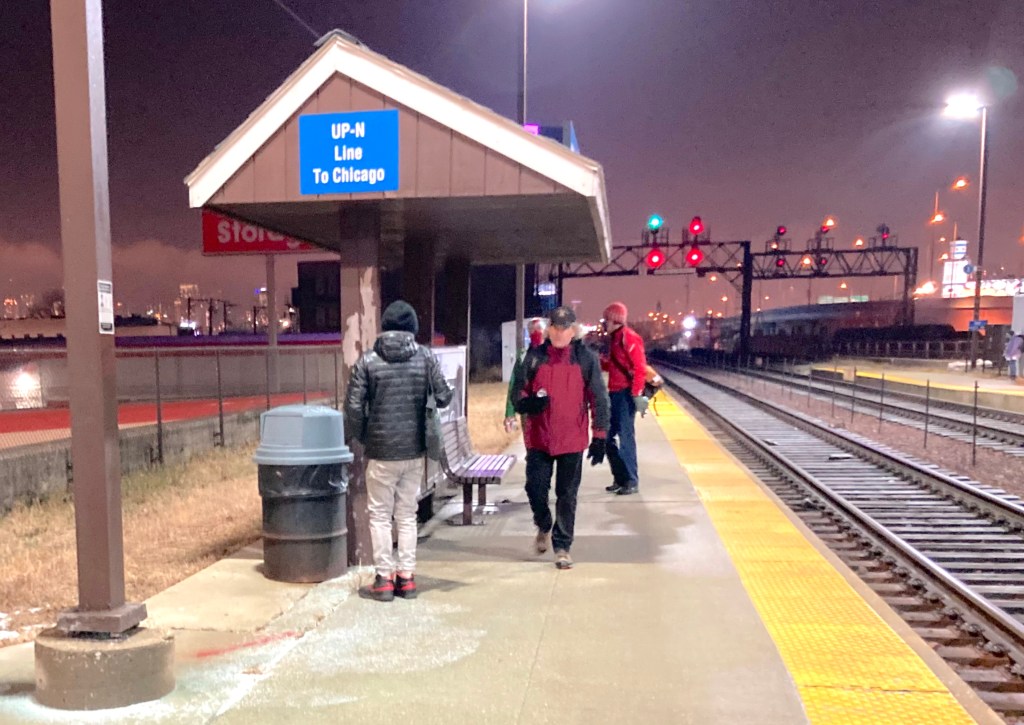
While giving Streetsblog Chicago’s John Greenfield a tour of the area last year, Lucas discussed the poor transit access and lack of bus shelters. For example, driving to a nearby Walmart in Pullman would take about 7 minutes by car, but would require two bus trips, which would take 40 minutes. “That’s pretty ridiculous,” Lucas said, adding that she usually tries to carpool with a neighbor to the supermarket, or else walks to Rosebud.
STAC has lobbyied for the construction of a sidewalk on the south side of 130th Street in Riverdale, which would make it easier for residents to walk to the only local grocery store, Rosebud Farm Stand. They asked 9th Ward Alderman Anthony Beale to use some of the ward’s $1.3 million menu budget to build the sidewalk, but the funding is largely allocated to fix potholes for drivers.
However, it looks like the Chicago Housing Authority will fund sidewalks on a gravel road that links Altgeld Gardens with the grocery store, according to Active Transportation Alliance spokesman Ted Villaire. He added that the CHA is also considering funding sidewalks on 130th Street near the store.
STAC also worked with Active Transportation Alliance and the Consortium to Lower Obesity in Chicago Children, to conduct a walkability survey of the area, documenting unsafe walking conditions. However, the new plan will be the first time CDOT will be officially involved, Claffey said, “Several planning efforts have been undertaken or are arising in nearby neighborhoods, but these plans and initiatives need to be prioritized, partners need to be engaged, and funding needs to be identified,” he said.

Read More:
Streetsblog has migrated to a new comment system. New commenters can register directly in the comments section of any article. Returning commenters: your previous comments and display name have been preserved, but you'll need to reclaim your account by clicking "Forgot your password?" on the sign-in form, entering your email, and following the verification link to set a new password — this is required because passwords could not be carried over during the migration. For questions, contact tips@streetsblog.org.