Streetsblog recently noted that 19th Ward alderperson Matt O'Shea's Southwest Side district, which includes some or all of the Beverly, Morgan Park, Mount Greenwood, and Washington Heights neighborhoods on the Far Southwest Side, has almost no on-street bike lanes. That's not surprising, since O'Shea told the Chicago Department of Transportation during a 2012 hearing, "If you never put a bike lane in my ward, that's too soon." He's walked that statement back somewhat since then, but there are still almost no bike lanes planned for the ward as part of CDOT's recently released Chicago Cycling Strategy plan.
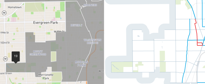
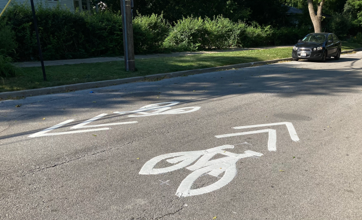
The long north-south route in the section of the Chicago Cycling Strategy map shown above consists of shared-lane markings (bike-and-chefron symbols) on Longwood Avenue. The northern segment of the Major Taylor Trail off-street path also appears here. When the map was released earlier this year, the only existing bike lanes were non-protected lanes on 103rd Street. The red lines are a Neighborhood Greenway side street route, mostly consisting of shared-lane markings, that was installed a few weeks ago, connecting the two sections of the MTT.
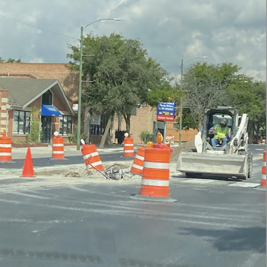
19th Ward bike issues aside, let's give Ald. O'Shea a bit of credit for some significant improvements for pedestrians that he is allowing CDOT to implement in his district. As first reported by Beverly resident and bike advocate Anne Alt on RIDGE99, her blog about the neighborhood, lots of pedestrian islands were installed this month on hectic, five-lane Western Avenue in the ward.
Pedestrian deaths are not uncommon on this stretch of Western. In November 2019, a hit-and-run driver struck and killed Michael Flood, 73, a U.S. Marine Corps veteren, as he crossed Western at 106th Street, an intersection with no stoplights or stop signs for north-south traffic. And in March 2022, a motorist fatally struck Allen Lee Jr., 88, as he attempted to cross Western at 110th Street, which is also unsignalized.
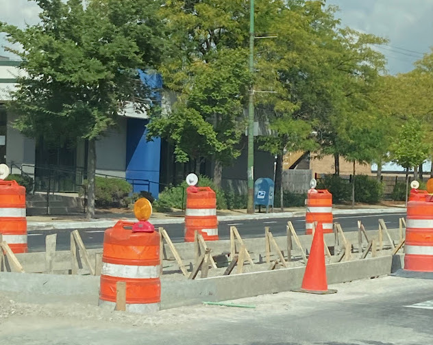
Pedestrian islands can help prevent these kind of tragedies. They allow people on foot to wait for a gap in traffic in one direction, cross to the island, safety wait for another break in traffic in the other direction, and then complete the crossing. They also provide a visual deterrent to speeding, especially when a person can be seen waiting on the concrete structure.
CDOT spokesperson Erica Schroeder confirmed Alt's post. "As part of CDOT’s Arterial Resurfacing program, pedestrian refuge islands are being installed along Western." Schroeder provided a full list of locations:
- 113th Pl. (south leg of the intersection)
- 113th St. (north leg)
- 112th St. (north leg)
- 108th St. (north leg)
- 106th St. (north leg)
- 100th St. (center, intersection is offset)
- 81st Pl. (south leg)
- 80st St. (south leg)
- 79th Pl. (south leg)
- 78th St. (south leg)
The first six intersections are in O'Shea's district. The other four locations are in the 18th Ward, represented by Ald. Derrick Curtis.
Locations of the new pedestrian islands
Alt wrote that the one Western intersection in Beverly that's not on the list where a pedestrian island would be possible and helpful would be 101st Street. That would be useful for people walking to Beverly Park, about a block west.
"For years I've wanted to see these [islands] to make it easier for people to access parks, businesses, schools and other locations more easily and safely without needing to walk blocks out of their way to cross at a stoplight," Alt wrote. "I hope these help to calm our usually fast and unruly traffic and make it easier for people to access destinations on and near Western without having to use cars."
Check out Anne Alt's post for more photos and commentary about the new pedestrian islands.

Did you appreciate this post? Please consider making a tax-deductible donation.
