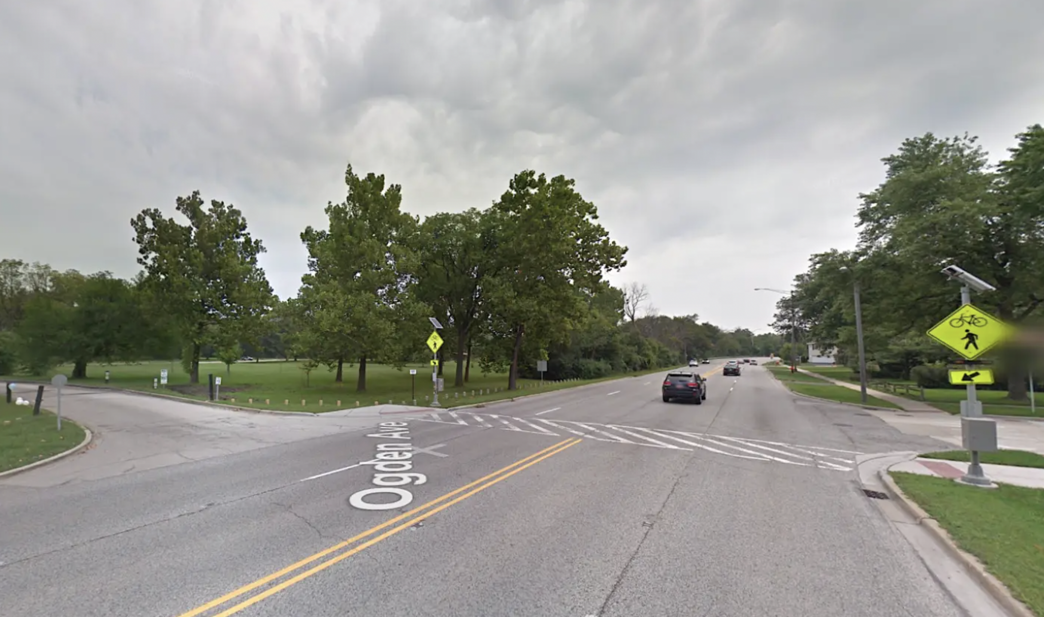
The $64 million Navy Pier Flyover, a 2,160-foot completed in May, eliminated the Lakefront Trail's bottleneck over the Chicago River and allowed path users to avoid hazardous intersections with Grand Avenue and Illinois Street.
But what if I told you that for less than half that price tag, a relatively paltry $27.1 million, we could build a bike route, including a causeway, more than twice as long as the flyover that would make it much safer and more convenient to get around the historically underserved Southeast Side on foot and bike?
As it stands, Lake Calumet is a major barrier to traversing that corner of the city, particularly for people walking and biking, since the roads that circumnavigate the industry-rimmed body of water generally have no sidewalks and heavy truck traffic. That's doubly frustrating since two of the major cultural and recreational resources on the the Southeast Side, the recently opened Pullman National Monument and Big Marsh nature center and bike park, are located on the west and east sides of the lake, respectively.

Credit: John Greenfield
Luckily, the Active Transportation Alliance has proposed building the aforementioned bike-ped bridge across the Calumet, and the project is now closer than ever to becoming a reality. Last week advocacy group, along with reps from the Chicago Metropolitan Agency for Planning and partner organizations like Friends of Big Marsh and the national monument presented ideas from a feasibility study for the Lake Calumet trail.
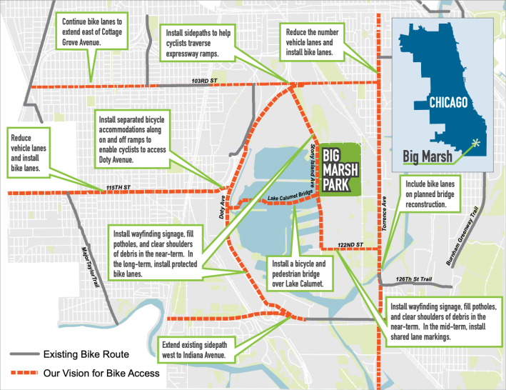
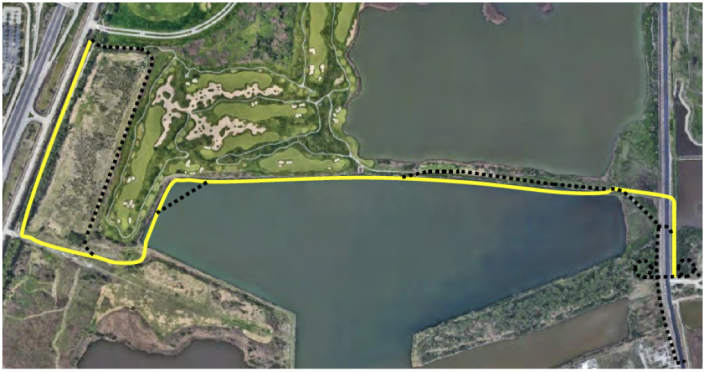
Four years ago, ATA and the Illinois International Port District, which operates port facilities on the lake, joined forces to look for money for the report. In 2019, they won grants from the Invest in Cook Program and Illinois Department of Natural Resources Coastal Management Program to bankroll the study, which officially began in the summer of last year. Engineering consultant Epstein looked at a few potential routes for the causeway.
According to a Block Club Chicago writeup of last week's presentation by Maxwell Evans, the preferred route for the trail identified by the firm would begin neat the Harborside International Golf Center entrance at 11001 S. Doty Ave. From there it would cross port district property to Lake Calumet. The project would include a bridge across the lake, Norfolk Southern tracks and Stony Island Avenue. The eastern terminus of the path would be right at the entrance to Big Marsh at 11559 S. Stony Island Ave.
The $27.1 million estimated cost of the trail includes $16.2 million for construction of the trail and related amenities; $5.2 million for engineering, and $5.7 million for incidentals, Block Club reported. Add-ons like a $625,600 kayak area, a $920,000 rest area by the golf course, and a $839,000 boat viewing area are also under consideration.

One of the great things about this project is that it would not only make it easier to get around the Southeast Side by sustainable means, but it will also encourage residents to explore Lake Calumet itself. It's the largest body of water located entirely within the city of Chicago, and yet it's currently almost completely overlooked as a recreational resource. As such, the Calumet Trail is a total no-brainer for improving quality of life in a long-neglected quadrant of our city in a cost-effective way.
Learn more about the Lake Calumet Trail project here, and view a recording of last week's presentation here.
