Why Direct Biking Streets Aren’t Always the Safest or Most Enjoyable Option
It’s fitting that John Greenfield’s Mellow Chicago Bike Map project has helped to rekindle my love of cycling in Chicago. John and I met 20 years ago at some kind of bicycle planning event, back when the Chicago Department of Transportation’s bike map was more aspirational than boastful. The few existing bike lanes were connected by orange “recommended routes” that were deemed reasonably good places to pedal.
I had just started commuting on a little mountain bike, because that’s how many Chicagoans rolled in the late 1990s, and was dutifully following the orange lines, including taking Milwaukee Avenue to ride downtown from the Near Northwest Side. The trips were functional but not particularly fun. At the time, John suggested taking Wood south to Hubbard as a less stressful alternative. Although losing the diagonal added a little distance, it made the trip much more relaxing.
Late night rides with new friends from Chicago Critical Mass expanded my mental map of low-stress streets.I learned that you can shortcut from Logan Square to Bucktown and the Webster bridge over the Chicago River by crossing the Goethe Elementary playground and continuing east on Lyndale. Barry Avenue is a great westbound alternative to busy Belmont. Leland is a more peaceful option than Lawrence for heading east from the river.
But my terrible sense of direction and tendency to space out has always made it hard to fully recreate these routes on my own. My guides were master pinball players, who would bounce south on Ravenswood, west on Grace, south on Wolcott, west on Melrose, and south again on Leavitt to the Diversey river crossing. I always found myself gravitating back to Damen, which is not the worst street to ride on (it was probably one of Chicago’s recommended routes, and one of the first streets to get bike lanes.) But, with plenty of car traffic, it’s not all that pleasant either.
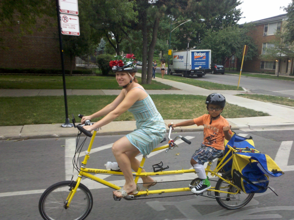
Fast forward a few life stages and I’m now riding with my 11-year-old son. A few weeks ago, after a harrowing “Must keep moving! Must stay in line!” ride up Racine to an appointment at Illinois Masonic Hospital Lakeview, I sent John a rant about how I sometimes envy the way families who drive are able to have conversations and not worry about what could possibly go wrong while biking with a kid (even a fast, traffic-savvy kid) sandwiched between impatient motor vehicle drivers and parked cars. Although I know many residential street routes that allow for a more tranquil, shady, and side-by-side ride (yes, we yield to car traffic behind us—Miguel is all about yelling “car back!” to warn about approaching motorists), I still sometimes get stumped on longer rides.
In this case we needed a lower-stress connection from the east end of the Bloomingdale Trail at Marshfield to the hospital at Wellington/Sheffield. Instead of taking Cortland to Racine to Wellington to get there, John suggested a stair-stepping northbound route of Cortland/Racine/Armitage/Seminary/Wrightwood/Mildred. Seminary is one-way northbound south of Fullerton, but a quick jog west to Clinton via the DePaul campus solves that problem for the southbound trip. Game changer!
I am now more motivated to scrutinize maps before taking a longer trip to find ways around challenging intersections and other barriers that can make these calmer routes tricky. I recently discovered Avondale (a relatively low-traffic frontage road that parallels the west side of the Kennedy Expressway) serves as an awesome alternative to hectic Milwaukee and Elston between Irving Park and Addison. A couple blocks south of Addison, you can bear right (make sure you don’t continue straight onto the access ramp for the highway!) to get on Central Park, a good route to Logan Square.
The other day we used a wiggling side street alternative to Kimball to get from our home in Logan Square, across the Kennedy, to Addison/Albany, at which point Miguel led us north on Albany to connect with the North Shore Channel Trail near Lawrence and Sacramento. That was the starting point of a Father’s Day Ride organized by Kevin Womac, the owner of Logan Square’s Boulevard Bikes (a Streetsblog Chicago sponsor.) We spent very little time on main streets. It was already hot and humid, but the shade and ease made the miles click pleasantly by – it almost felt like we weren’t exerting any effort.
On the way home, we wound up high-tailing it southeast Milwaukee back to Logan Square to make a movie showing. It might have been the direct route, but it was hot and stressful. In retrospect wish I had just pulled over, taken a few minutes to come up with a better plan, and found us some shade. In fact, the mellow side-street routes are sometimes just as fast or faster than direct ones because you don’t get stuck at monster intersections.

Streetsblog has migrated to a new comment system. New commenters can register directly in the comments section of any article. Returning commenters: your previous comments and display name have been preserved, but you'll need to reclaim your account by clicking "Forgot your password?" on the sign-in form, entering your email, and following the verification link to set a new password — this is required because passwords could not be carried over during the migration. For questions, contact tips@streetsblog.org.