Making the Whole Route to School Safer for Walking and Biking
Earlier this week, the Chicago Tribune published an analysis of Chicago traffic crash data, finding that "from 2007 through 2011, nearly 1,700 youths, ages 5 to 18, were struck by vehicles in Chicago within about a block of a school." Half of all pedestrian injuries to children occur near schools, and it's great to have the local press draw attention to the problem. The next step is to start thinking about how to make entire routes to school safer for walking and biking.
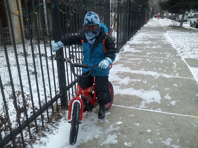
Gin Kilgore bikes or runs alongside her 6-year-old son from their home in the Logan Square neighborhood to the Goethe school, also in Logan Square, a 1.3 mile trip. They routinely experience unsafe situations and a lot of close calls along the way. "At gatherings of friends who also frequently walk and bike with children," she said, "stories of near misses and harassment often come up: the green light jumping right turners, the red light runners, the honk from behinders, the barely-even-slowing-down-at-stop signers, the crosswalk ignorers, and – our favorite – the 'you are endangering your child and I am going to call protective services' threateners."
Kilgore, a program manager with the League of Illinois Bicyclists, wants to have access to the type of information about street safety that isn't recorded by the Illinois Department of Transportation. "The crossing guards, some of which the Tribune interviewed, are the keepers of the information," she said. "We could survey them, asking them to rate how good drivers are at yielding."
Transportation Commissioner Gabe Klein told the Trib that the perception of safety affects livability. "It will be impossible to attract families with children to live in the city if the streets are deemed unsafe," he said.
So how can the city make walking and biking to school feel safer? Kilgore is calling for a system that collects input from the public about where they perceive danger on the streets. "Near misses likely prevent people from wanting to bike with their kids in Chicago," she said.
During our conversation, Kilgore drew a map of her bike route to school and marked the hotspots: the jogged crossing at Kedzie Boulevard and Belden Avenue; California Avenue at Milwaukee Avenue; Belden Avenue at Sacramento Avenue, where many drivers fail to make complete stops; and Talman Avenue at Belden Avenue, right outside the school.
"A project I have been mulling for a long time is an interactive map where people can easily locate and describe these kinds of incidents," Kilgore said.
Mapping the qualitative experience of getting to and from school could have policy implications. "A web form would inform the 'the powers that be,' such as their alderman, the police department, and CDOT," said Kilgore. "Such a tool could identify possible hotspots that could benefit from targeted enforcement, infrastructure tweaks, or, thinking long term, a complete redesign of the street."
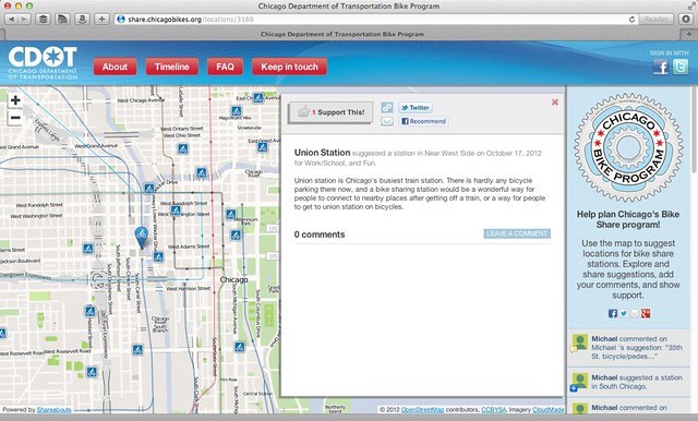
CDOT has some experience with a system like what Kilgore described: The agency built a site to accept people's suggestions about where to site bike sharing stations. The site was built by Streetsblog's parent organization, OpenPlans. Another OpenPlans project, "Make Brooklyn Safer," is soliciting help from Brooklynites to identify intersection that people perceive to be dangerous.
Kilgore explained that she wants to foster independence in her son. "This map would be another way to show that there is an active transportation constituency – including the little ones in the single digits. If I didn't love taking my son to school by bike, I wouldn't do it".
Stay in touch
Sign up for our free newsletter
More from Streetsblog Chicago

Legendary Chicago bicycle traveler and writer George Christensen killed by truck driver in South Carolina


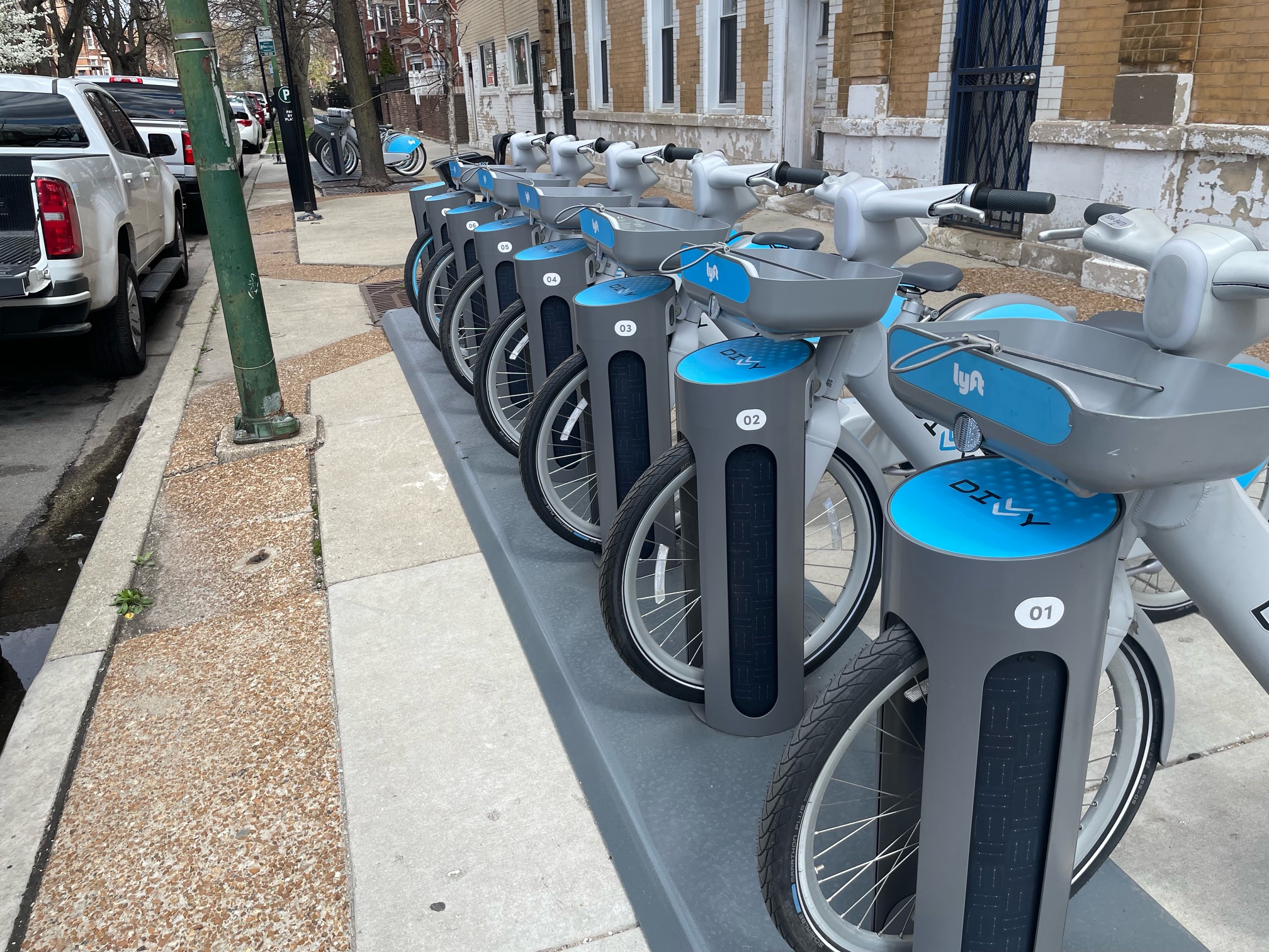
It’s electric! New Divvy stations will be able to charge docked e-bikes, scooters when they’re connected to the power grid
The new stations are supposed to be easier to use and more environmentally friendly than old-school stations.
Today’s Headlines for Tuesday, April 23
Communities United: Reports of Bikes N’ Roses’ death have been greatly exaggerated
According to the nonprofit shop's parent organization, BNR has paused its retail component, but is still doing after-school programming and looking for new staff.