Second Lake Calumet Bike Network Study ride discussed efforts to improve cycling connections for Roseland and Pullman
Once again, the goal was to get input from riders about how to improve bike safety in the area.
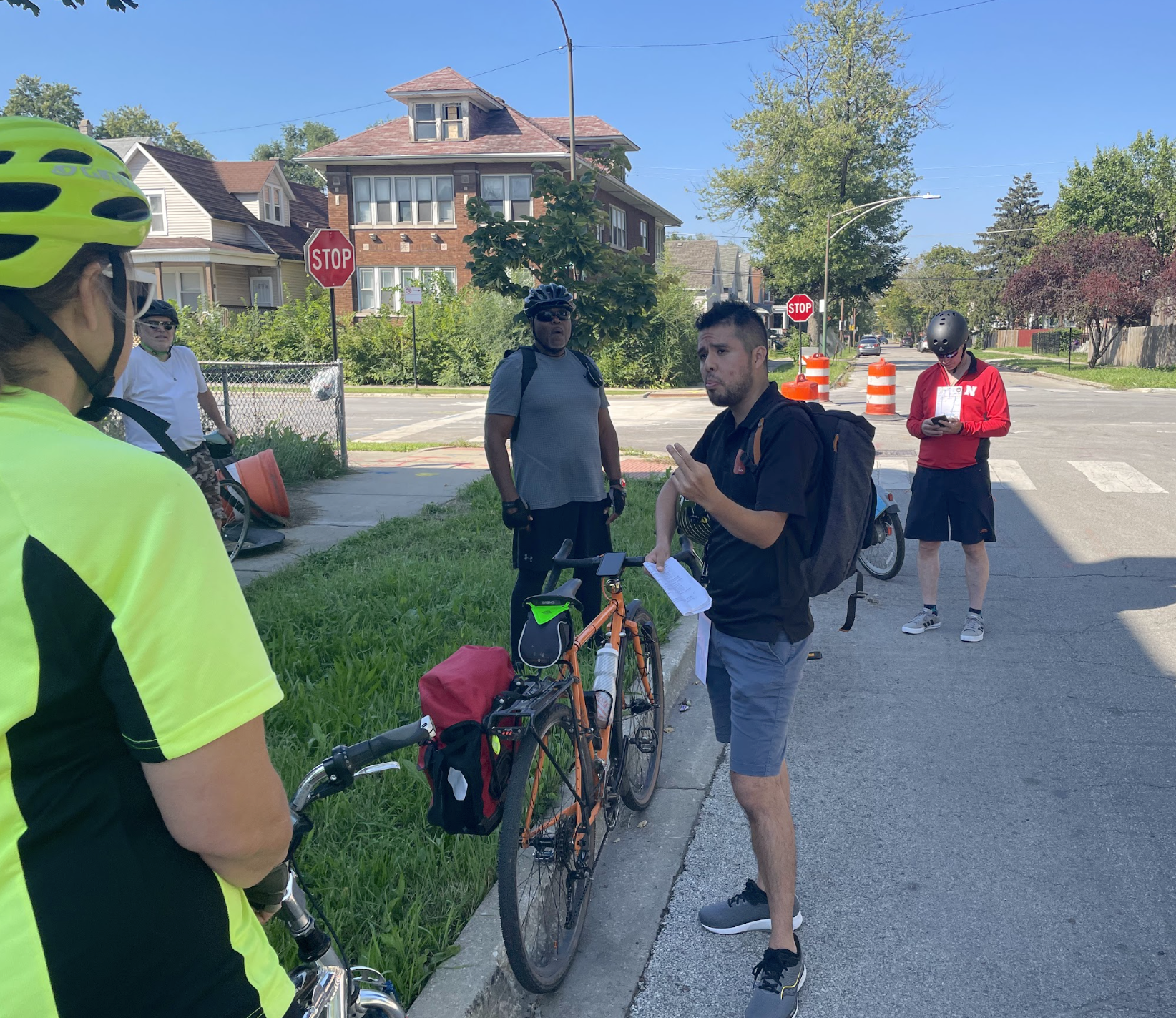
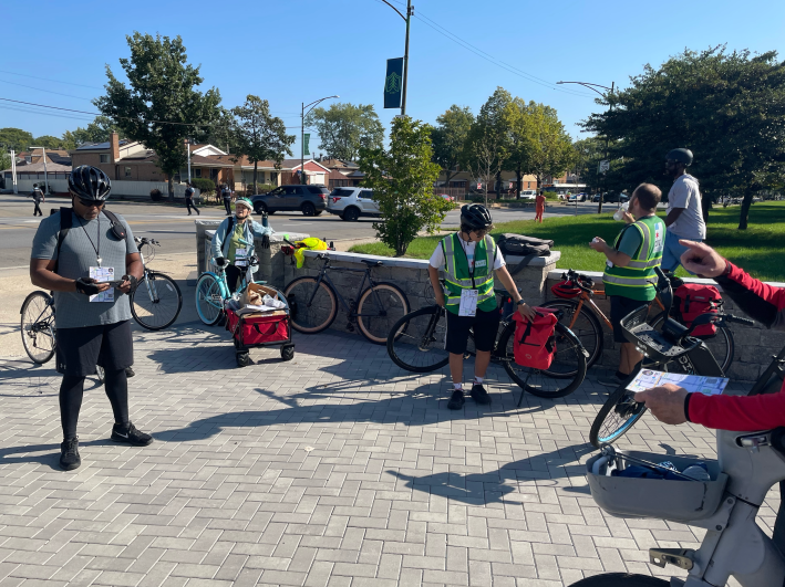
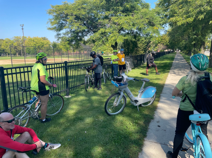
Tour leader Alan Oviedo discusses bike infrastructure strategies with attendees on Saturday’s ride. Photo: Cameron Bolton

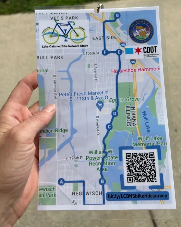
In late August, as part of the Lake Calumet Bike Network Study, the Cook County Department of Transportation and Highways (DoTH) and the Chicago Department of Transportation hosted a bike ride through Chicago's Southeast Side. The goal was to get input from riders about how to improve bike safety in the area. Attendees met at the Henry Booth House community center, 2725 E. 130th St. in Hegewisch, and biked to Calumet Park Beach, 9801 S. Avenue G.
Last Saturday morning DoTH and CDOT held a second bike tour, a seven-mile loop starting and ending at a plaza at Chicago State University, 95th Street and King Drive, including some short walking passages. Free loaner bikes were available.
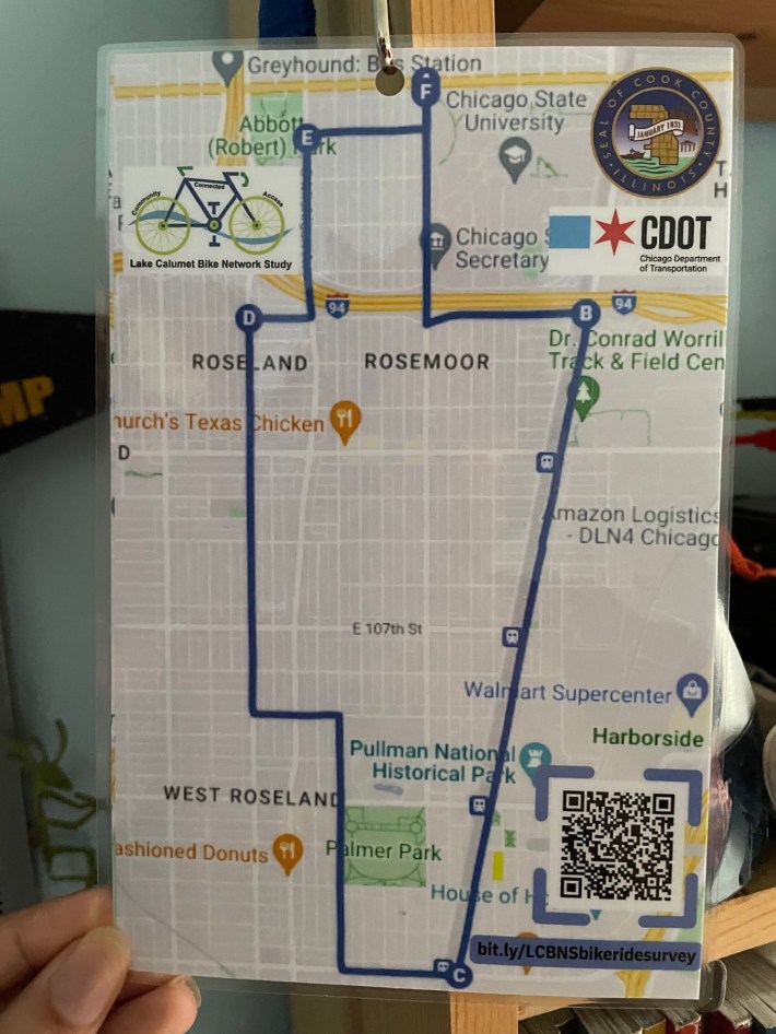
Like last month, Benet Haller, transit manager at DoTH, and Alan Oviedo from the communication firm Rudd Resources, were there to lead the tour and speak about what they hope to accomplish with the study. First the ride went south on King, crossed over the Bishop Ford Freeway, headed east on 100th Street to Cottage Grove Avenue for the first stop.
There, Oviedo talked about how CDOT is planning to build protected bike lanes on Cottage Grove. He added that the ride leaders chose this location for the first stop because they wanted the participants to think about strategies to make neighborhood streets safer.
After that, the ride continued southwest on the existing non-protected bike lanes on Cottage Grove, crossing some east-west main streets that lack bike lanes.
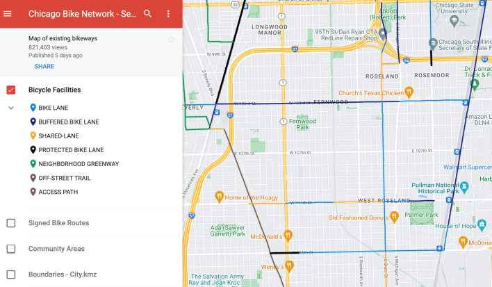
While at the second stop at 115th Street and Cottage Grove, Oviedo brought up the Major Taylor Trail, which some of the attendees had ridden. He discussed the need to connect communities with off-street trails through safe on-street bike lanes.
"Part of this project is to think about the Major Taylor Trail as an example, and how do we connect to from Pullman and Roseland to the Major Taylor Trail," Oviedo said. "So we passed 113th Street, which would be a proposed street to have an east-west bike lane that goes all the way to the Major Taylor Trail, because it has a little pedestrian bridge."
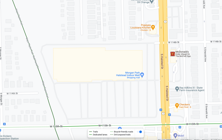
Haller explained that 114th Street, as part of a larger development on the northwest corner of 115th and Halsted, will have a signal that will allow you to safely cross Halsted and connect with the Major Taylor Trail while coming from the east.
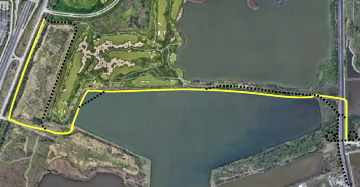
Oviedo then talked about safe routes to Big Marsh bike park. "How else can we connect 113th, 111th, which does have [bikeways], all the way through?" he said. "Those lanes will be improved under CDOT as well. And they will be protected bike lanes all the way through to Doty Avenue.” Doty is the highway that runs along the west side of Lake Calumet, and a bike-ped bridge across the lake is proposed at 111th Street, which would provide a safe route to the bike park.
While at the second stop, one rider mentioned that the idea of making highway-like 130th Street a safe east-west route via an off-street sidepath had previously been discussed and asked if that project was still in the works. Oviedo said that it is.
Haller noted that one the challenges for creating bike access on the Southeast Side, such as on 130th, is that there there confusion over who has jurisdiction over certain right-of-way. He said that DoTH, CDOT and the Illinois Department of Transportation need to coordinate better about "these vast stretches of non-residential-ness where we just want to make sure that there is a connection and a clear way to get from one place to another."
"Right now there's a very stark difference if you're at the Lakefront at the state line between Illinois and Indiana," Haller added as an example of the aforementioned problem. "If you look east into Indiana it's like, wow, that's some nice looking paved trail. If you look on our side it's like, 'Am I even supposed to be here?' It's sort of a gravel road through the park." Haller said he'd like the county to work with the Chicago Park District to make sure there's a "defined, clear, paved path" from Calumet Park to the Indiana trail.
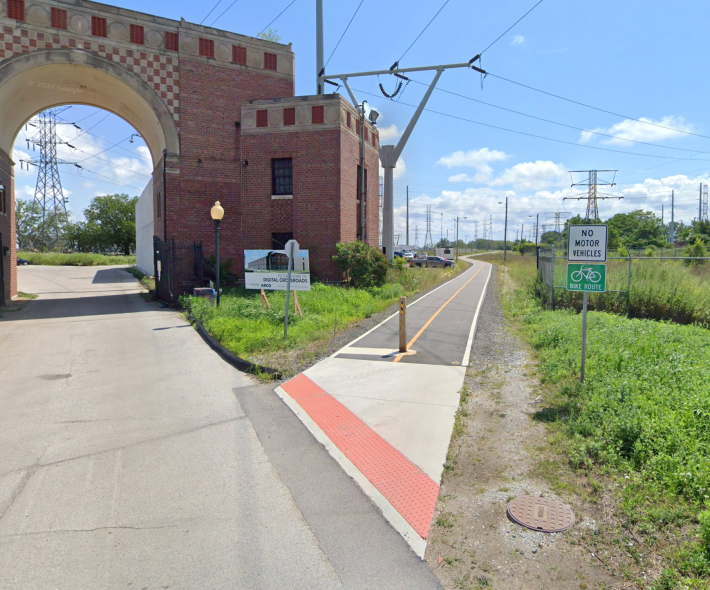
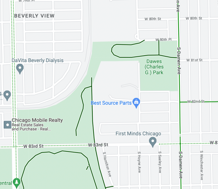
Haller also said there are plans to expand the north end of the Major Taylor Trail, located on Cook County Forest Preserve District land, east through connected Dawes Park, a Chicago Park District property. The county has CREATE rail improvement project funding set aside to extend the path to 81st Street and Damen Avenue, which would make it safer to access from the northeast.
The third stop was at 100th and State streets. State is currently under construction for a new protected bike lane that will connect with the 95th Street Red Line station. There, Oviedo pointed out a one-way stretch of nearby Michigan where there are no bike lanes, which makes it relatively unsafe to travel to and from the train stop. One possible solution would be contraflow ("wrong-way") bike lanes.
After the ride ended at its starting point, John Cwenaala told Streetsblog he lives only two miles from Big Marsh by bike. But cycling there directly requires riding on 130th, a multilane street with lots of trucks and fast drivers, making the route unsafe. As such, he hopes that more people get involved in rides like this and other efforts to make the Southeast Side more bike-friendly.
Take the Lake Calumet Bike Network Study survey here.

Did you appreciate this post? Please consider making a tax-deductible donation.
Read More:
Stay in touch
Sign up for our free newsletter
More from Streetsblog Chicago

One agency to rule them all: Advocates are cautiously optimistic about proposed bill to combine the 4 Chicago area transit bureaus
The Active Transportation Alliance, Commuters Take Action, and Equiticity weigh in on the proposed legislation.


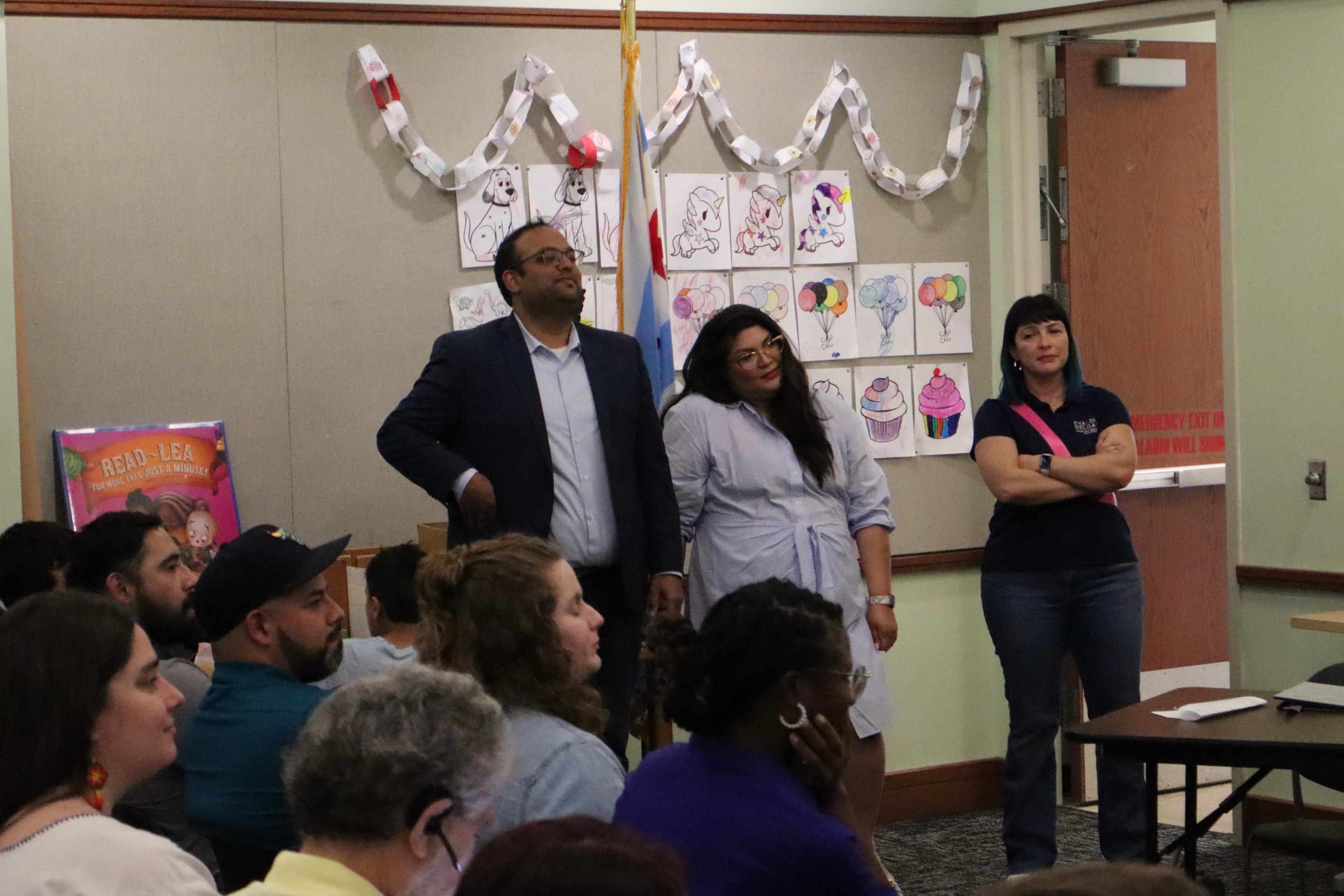
State legislators pushing to merge CTA, Pace, and Metra into one agency spoke at Transit Town Hall
State Sen. Ram Villivalam, (D-8th) and state Rep. Eva-Dina Delgado (D-3rd), as well as Graciela Guzmán, a Democratic senate nominee, addressed the crowd of transit advocates.