Moving Archer Forward plan calls for improving safety and stations, plus eTOD, but no specific redesign of Archer Avenue


Reporting on the Moving Archer Forward meeting is by Ellen Steinke, and discussion of the Archer traffic safety project is by John Greenfield.
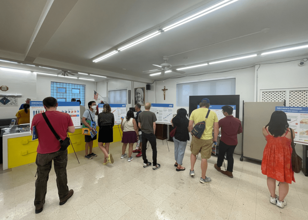
The final open house for the Moving Archer Forward plan, created by the Chicago Department of Planning and Development and the Regional Transportation Authority, was held last week at St. Mother Teresa Hall in Bridgeport. At the event, residents circulated among poster boards showing possible Orange Line station improvements and equitable transit-oriented development concepts, along with data on crashes, sidewalks and existing land uses.
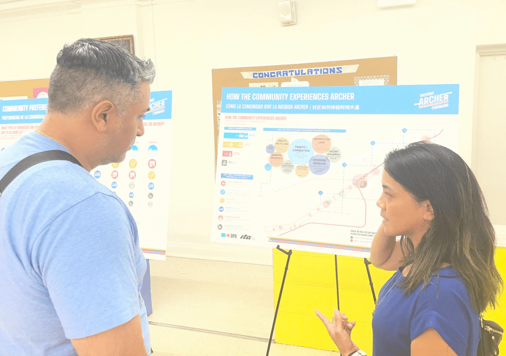
Many attendees stopped to examine the transit and housing proposals. Others questioned planners about parking, congestion, and whether more protected bike lanes would be added to Archer Avenue. Staff from DPD and the RTA, as well as consultants, repeatedly clarified that the study does not prescribe a new street design for Archer.
“This is kind of a vision plan, a pretty high-level plan,” a representative of Site Design Group, which consulted on the project, told Streetsblog Chicago. “We’re not making recommendations for a road diet here.”
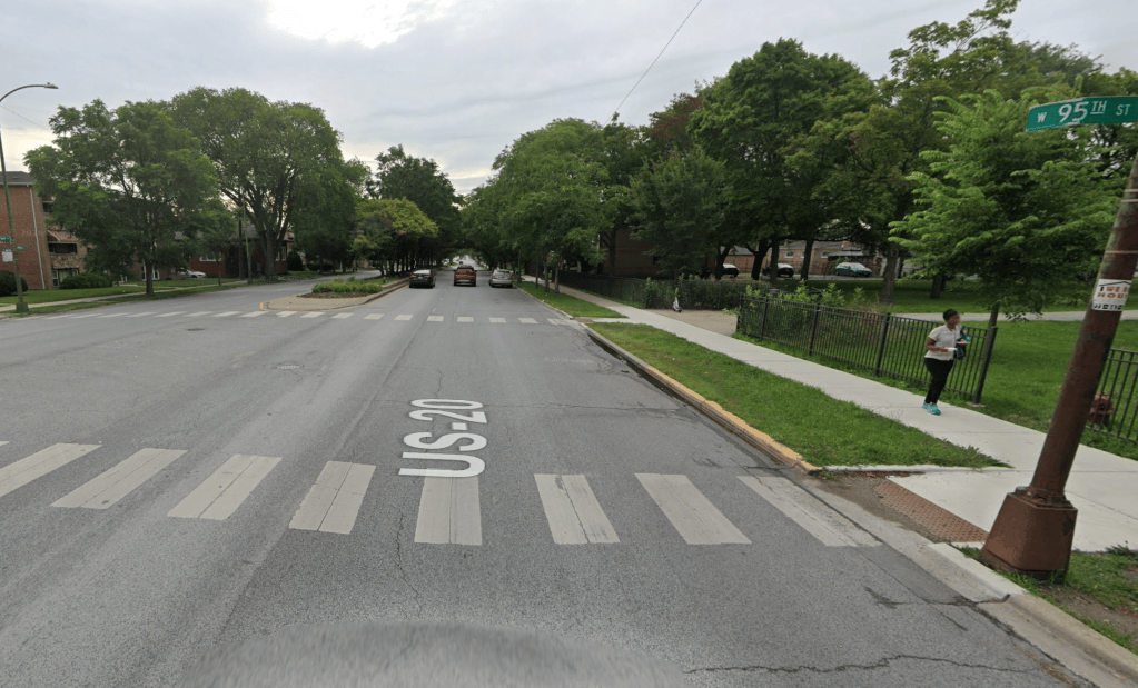
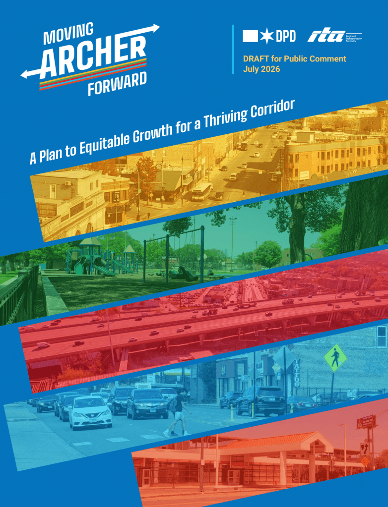
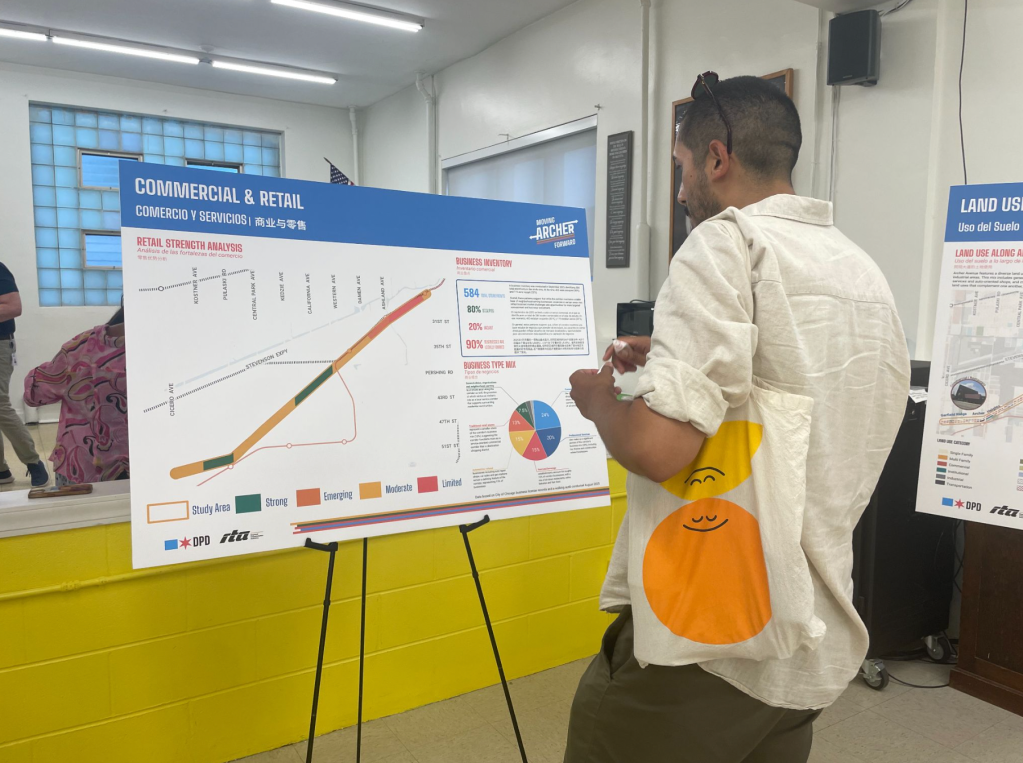
DPD released the draft plan for public comment this month after more than a year of research and community outreach. The study covers 6.5 miles of Archer between Halsted Street and Cicero Avenue, passing through portions of Bridgeport, McKinley Park, Brighton Park, Archer Heights and Garfield Ridge.
The plan focuses on land use, zoning, economic development, public space, and access to the Orange Line and the 62 Archer bus. Its three broad priorities are creating a vibrant and equitable corridor; a safer route that better connects people; and a local and regional destination.
Although Moving Archer Forward calls for safer walking, biking, transit, and driving, the document does not suggest a corridor-wide roadway reconfiguration. Instead, it identifies crash patterns and uncomfortable pedestrian conditions, then recommends a menu of possible improvements. Those include better lighting beneath viaducts, wider sidewalks where possible, upgraded pedestrian signals, shorter pedestrian crossings, curb extensions, traffic calming, trees, planters, shaded seating, and clearer wayfinding.
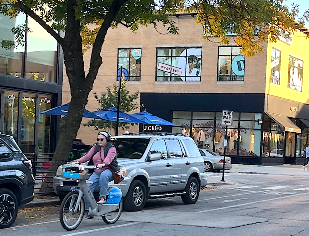
That fact that Moving Archer Forward does not recommend a full street remix is noteworthy, because the separate Chicago Department of Transportation Archer Avenue traffic safety project has been highly controversial. That initiative, whose goal is to make the corridor between 47th Street and Western Avenue in Brighton Park safer and more pleasant for all road users, has converted mixed traffic lanes and parking spaces to make room for walk/bike/bus infrastructure.
In part because the street redesign has coincided with a massive utility project that has contributed to traffic jams, the safety initiative has faced a backlash from some residents and merchants. This included more than six months of weekly demonstrations during the Monday PM rush near the office of Ald. Julia Ramirez, a project supporter. The protesters included her challenger Claudia Zuno, and were promoted by Zuno’s allies in the Trump-friendly pro-charter school lobbying group Urban Center. However, for the last several months, competing rallies by Complete Streets supporters at that location outnumbered the opponents, who recently stopped showing up.
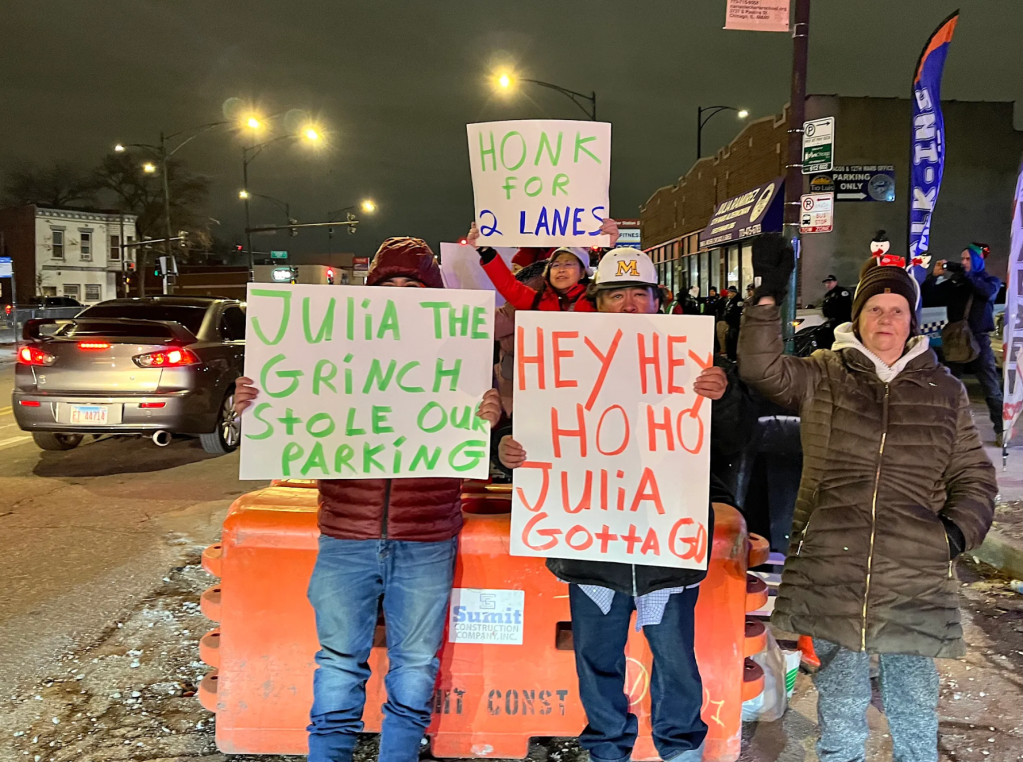
A Moving Archer Forward consultant said the debate over the Brighton Park project affected feedback on the new plan, even though the two efforts are separate.
The document itself notes that Archer is controlled by different transportation agencies along different sections. It calls for stronger coordination between DPD, CDOT, the Illinois Department of Transportation, the CTA, the RTA (which will be replaced by the Northern Illinois Transit Authority on September 1) and other partners. The goal is for future safety, streetscape and transit projects follow a more consistent strategy.
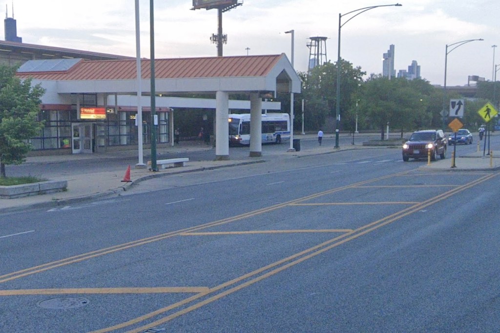
The most detailed transportation drawings focus on the Pulaski, 35th/Archer, Ashland, and Halsted Orange Line stations. Illustrations show possible plazas, murals, landscaping, painted crosswalks, shaded seating, weekend markets, and more welcoming paths between buses, trains, and nearby neighborhoods.
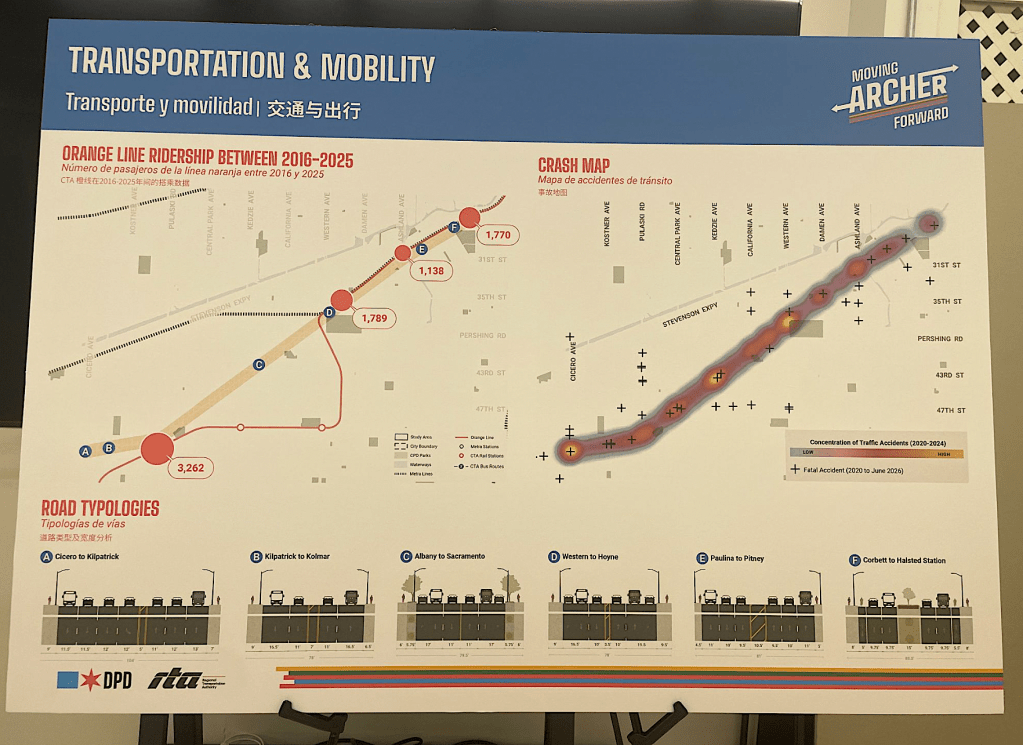
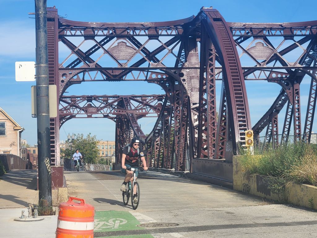
At Ashland, the plan envisions improved access between the station, Archer Avenue, and a future South Branch River Trail. At Halsted, it suggests a formal transit plaza, a relocated bus stop, and multilingual signs. Concepts for Pulaski and 35th/Archer include additional greenery, pedestrian safety measures, and spaces that could host community events.
The renderings are illustrative and do not represent funded construction projects. The plan’s implementation section says progress will depend on agency capacity, partnerships, timing and available funding.
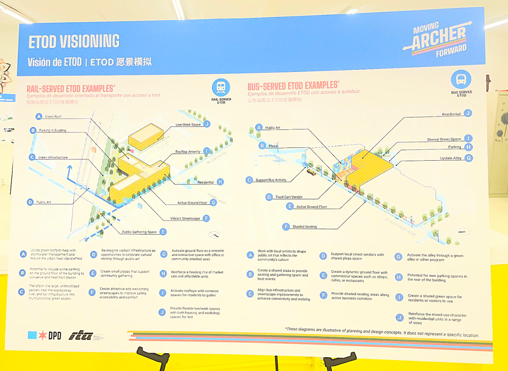
Beyond transportation, Moving Archer Forward identifies 31 possible sites for equitable transit-oriented development, totaling about 13 acres. The plan estimates that development on those sites could support about 800 homes, 1,200 residents, 280,000 square feet of retail and 835 jobs over the next 10 to 20 years.
The examples include apartments above shops near bus stops and larger mixed-use buildings near Orange Line stations. Illustrations incorporate affordable and market-rate housing, public gathering spaces, green roofs, permeable surfaces and ground-floor businesses. They are intended as development models, not proposals for specific properties.
The City says more than 2,600 people participated in the planning process, including 865 survey respondents. Outreach also included three public events, 18 community pop-ups, four advisory-group meetings and a small-business focus group. Residents repeatedly identified traffic, speeding, unsafe bicycling conditions, narrow sidewalks, vacant properties, and a lack of trees and gathering places as concerns.
Although the document does not authorize or fund construction, it is intended to shape later City decisions. Its implementation section calls for incorporating street, sidewalk, and lighting needs into future capital planning, revising zoning that limits mixed-use and “missing middle” housing, promoting potential eTOD sites, and establishing regular coordination among agencies. It also calls for periodic public updates on the plan’s progress.
Whether those ideas produce visible changes will depend on later zoning decisions, development proposals, agency priorities, and public or private funding.
For now, Moving Archer Forward offers a longterm framework rather than a final street design. At the open house, that distinction left some attendees without the answer they were seeking about parking or bike lanes. But it also clarified what the plan is meant to do: establish shared priorities for housing, transit, public space, and safety while leaving the details of roadway decisions to future transportation projects.
Public comments are open through August 6, after which DPD expects to seek adoption by the Chicago Plan Commission.
Check out the Moving Archer Forward Plan here.
Submit feedback on the plan here.

If you appreciate Streetsblog Chicago’s livable streets reporting and advocacy, please consider making a tax-deductible donation to support our work. Thank you!

Read More:
Streetsblog has migrated to a new comment system. New commenters can register directly in the comments section of any article. Returning commenters: your previous comments and display name have been preserved, but you'll need to reclaim your account by clicking "Forgot your password?" on the sign-in form, entering your email, and following the verification link to set a new password — this is required because passwords could not be carried over during the migration. For questions, contact tips@streetsblog.org.