Local bike advocates and government officials met with urban planners from the Netherlands to discuss potential Major Taylor Trail upgrades
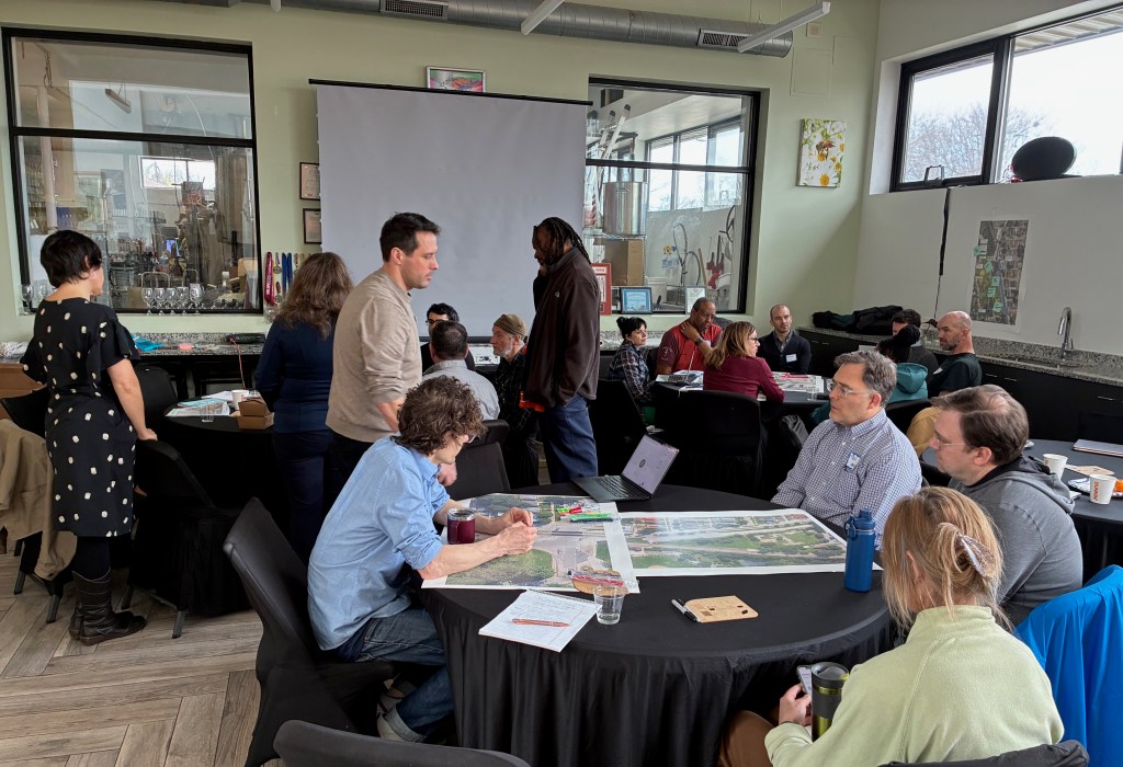
Last week, local advocates and officials gathered with Dutch masters of urban design and mobility to brainstorm ways to improve the Far South Side’s Major Taylor Trail. The event was organized by the Consulate General of the Netherlands in Chicago.
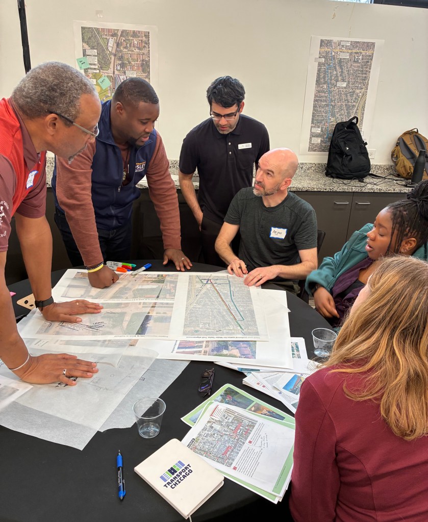
It was a special opportunity for the bikeway advocacy groups Major Taylor Trail Keepers and Friends of the Major Taylor Trail to collaborate with representatives from Chicagoland several department, agencies, and organizations, as well as planners from the Netherlands. Here’s who was involved:
- Chicago Department of Transportation
- Cook County Department of Transportation and Highways
- Forest Preserves of Cook County
- Metra
- Chicago Park District
- Chicago Deptartment of Planning and Development
- Ald. Ronnie Mosley (21st)
- Trust for Public Land
- Metropolitan Planning Council
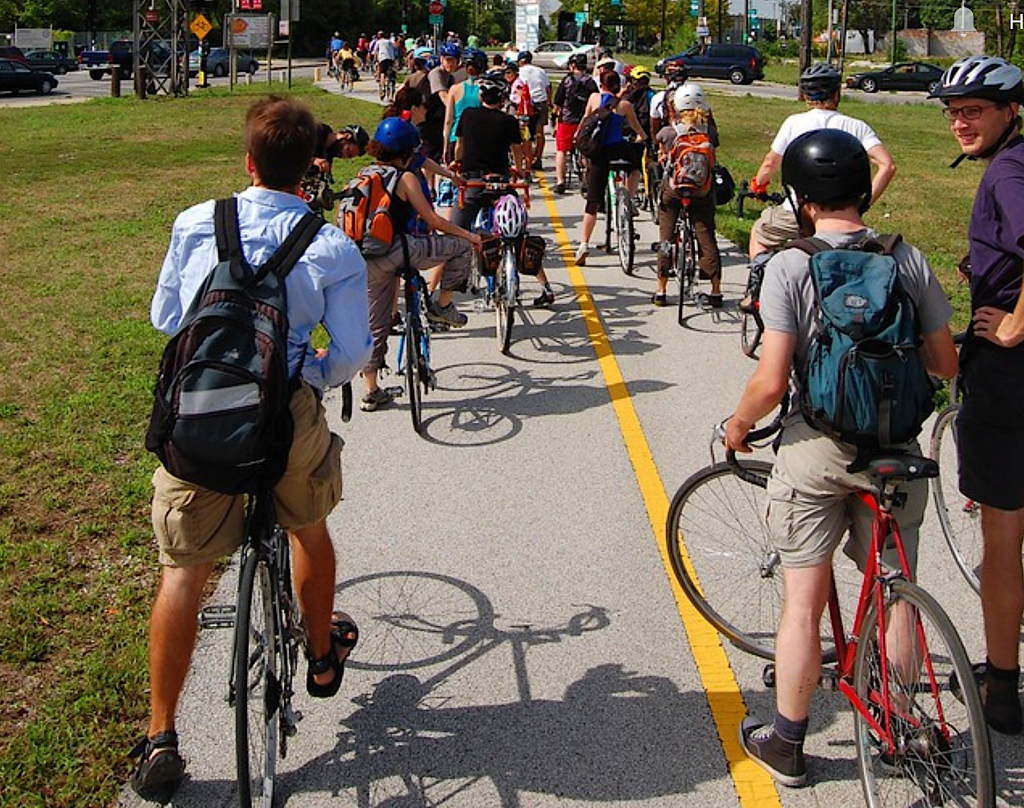
- South Side Critical Mass
- Brook Architecture
- Arcadis
- Beverly Area Planning Association
- Arjan Jager, a Dutch urban designer
- Urban mobility experts from Mobycon, a Dutch company that has created street designs for many cities around the world.
This collaboration started with a conversation last year, which eventually led to the workshop last week at Wild Blossom Meadery in Beverly. The goal of the session was to study existing conditions and problems; discuss tools that could be used to improve the locations being examined; and develop ideas to redesign two sections of the trail. At the 91st Street intersection, and on the route between 103th and 105th streets, the transition between off-street trail and adjacent streets has created navigation and safety challenges.
Nick Falbo and Narayan Donaldson from Mobycon presented Dutch design concepts that have been used to improve street safety for pedestrians and cyclists. They presented a bit of history about how Dutch cities became dominated by cars from 1945-1970, as our country did following World War II. The high price of gas and traffic deaths, particularly of children, motivated a culture shift away from cars in Dutch cities. They made speed limit and design changes to reduce traffic speeds and encourage walking, biking and transit use, which reduced car and crash deaths.
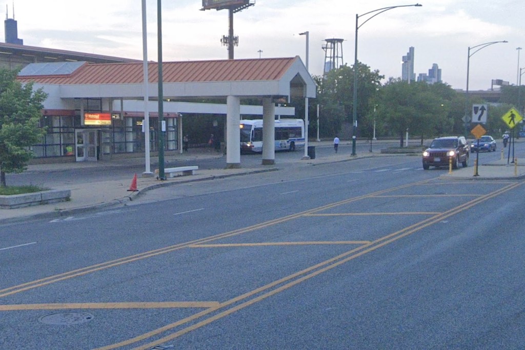
Heading south on the trail from the Dan Ryan Woods, you have to briefly ride on 91st Street, cross Metra tracks before you continue south on the trail to 95th Street. This move is not as is not as straightforward as it could be. Riders unfamiliar with the route often lose the trail there, since signs and pavement markings are nonexistent and the route isn’t visually obvious. The current alignment where the path meets Hermitage Avenue just south of 91st can create conflicts, so Forest Preserves of Cook County has drafted a plan to shift the trail alignment slightly west so that it exits onto 91st Street, creating separation from Hermitage traffic.
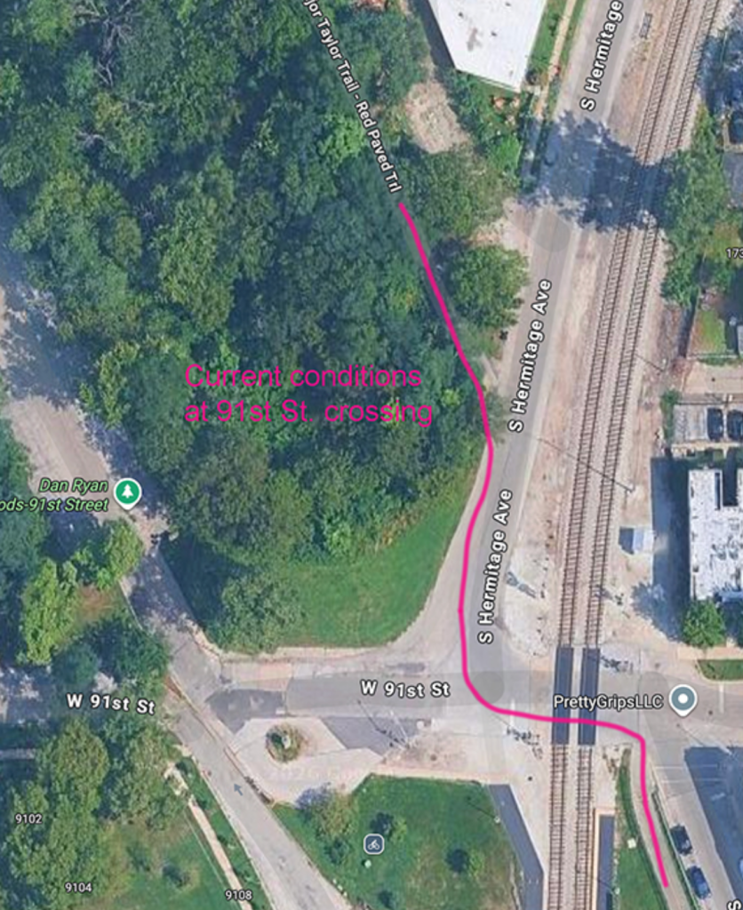
The discussion of how to reimagine the 91st Street transition generated a range of ideas from a temporary fix to a more ambitious change. The former would be a “breadcrumb trail” of pavement markings, while the latter would involve a significant realignment that would require a land swap. Future observations of use patterns of adjacent spaces will help to inform decisions on how traffic flow might be modified to improve safety and navigation.
Between 103rd and 105th streets, on-street navigation to and from the park district portion of the trail (south of 105th) is challenging at best. It’s another section of the trail where riders may lose the route. This area includes one-way streets and a complex intersection at 105th and Vincennes Street, where signage and pavement markings are nonexistent. Crossing Vincennes from 105th to Charles is intimidating for many trail users.
If 105th was wider, a contraflow lane between Vincennes and Prospect Avenue might be an option, but 105th is too narrow for that idea to work. A more direct routing via Charles Street was another concept. That would require some modification of the intersection with 99th Street to create a safer crossing.
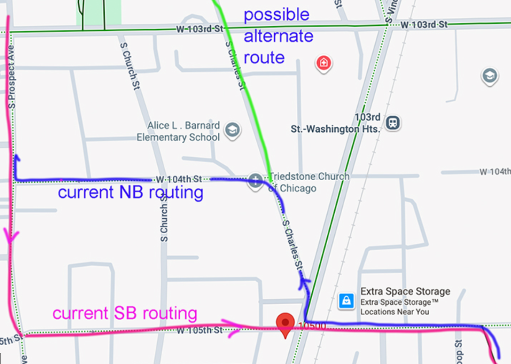
Could a crossing of Vincennes at 104th St. with a contraflow lane from Prospect to Vincennes allow a routing that’s easier to navigate? This and other concepts may need more study of traffic and parking patterns to determine viability.
It was a great advantage to have representatives from so many agencies in the room, because people in the discussion groups could get immediate feedback on whether a concept could be viable, or if they needed a different plan.
Mobycon is preparing a report summarizing plans for each location that were discussed at the workshop. Further study, availability of funding and political support will determine the future of these concepts and which ideas could become reality. Any design changes would complement a wayfinding plan that was developed several years ago.

On November 12, SBC launched our 2026 fund drive to raise $50K through ad sales and donations. That will complete this year’s budget, at a time when it’s tough to find grant money. Big thanks to all the readers who have chipped in so far to help keep this site rolling to the end of 2026! Currently, we’re at $30,931 with $19,069 to go, ideally by the end of April.
If you value our livable streets reporting and advocacy, please consider making a tax-deductible gift here. If you can afford a contribution of $100 or more, think of that as a subscription. That will help keep the site paywall-free for people on tighter budgets, as well as decision-makers. Thanks for your support!
– John Greenfield, editor

Streetsblog has migrated to a new comment system. New commenters can register directly in the comments section of any article. Returning commenters: your previous comments and display name have been preserved, but you'll need to reclaim your account by clicking "Forgot your password?" on the sign-in form, entering your email, and following the verification link to set a new password — this is required because passwords could not be carried over during the migration. For questions, contact tips@streetsblog.org.