My post earlier this week rebutting WXRT DJ Lin Brehmer's monologue about it being elitist to make a distinction between the city of Chicago and its suburbs generated lots of heated debate. It's possible that I turned up the snark gun a bit too high in my description of the type of Chicago suburbanite you're liable to encounter in Brehmer's hypothetic cafe in the south of France. Apologies if I ruffled any feathers – I truly love and value all Chicagolanders. (OK, except one.)
But one of the positive byproducts of that discussion was that it got me thinking about what exactly is Chicagoland. Does it have finite borders?
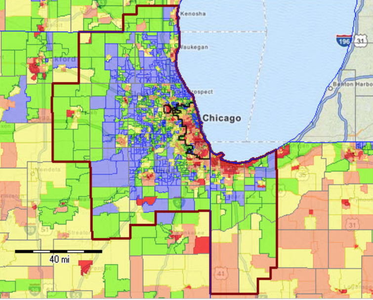
As I discussed, there are a few official definitions for the Chicago Metropolitan Area. Probably the most commonly-used one is the Census-defined “Chicago-Naperville-Elgin, IL-IN-WI Metropolitan Statistical Area,” which goes as far north as Kenosha, Wisconsin, and as far east as La Porte, Indiana. As of the 2015 Census estimate, the population of that district was 9,532,569, making it the third-largest MSA in the country.
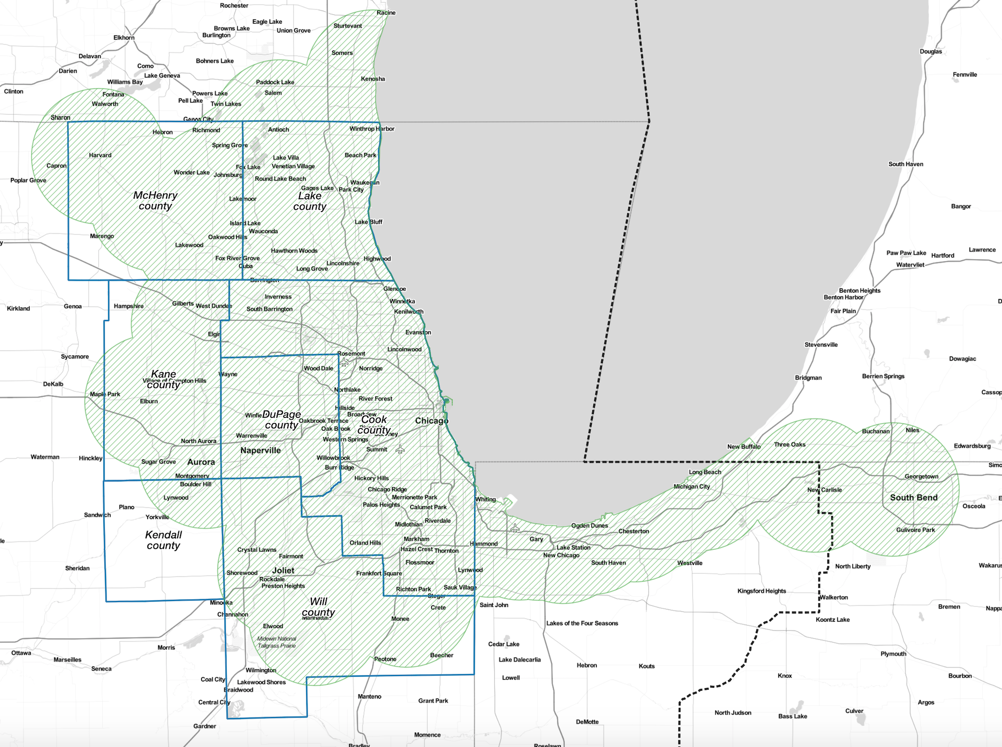
But I'd like to propose an alternative definition for Chicagoland, albeit an extremely transit-centric one. Let's define the region as everywhere that's within ten miles, a relatively short drive, from a Metra or South Shore Line station, making it fairly practical for residents to work in downtown Chicago, but within Central Standard Time.

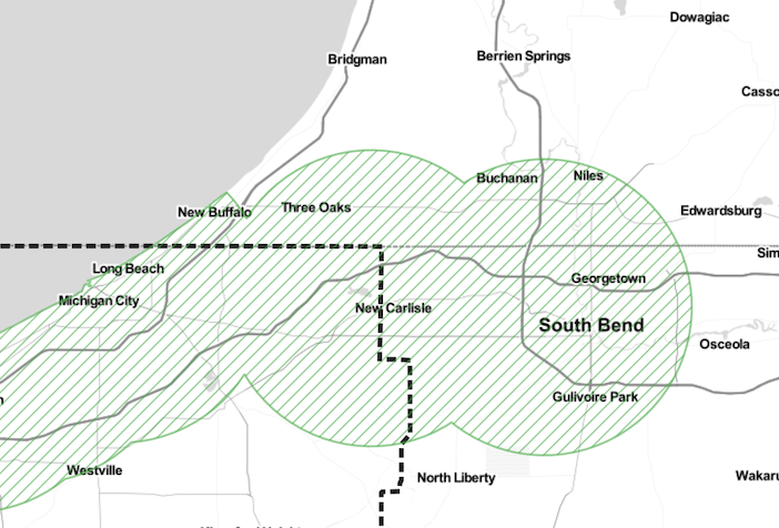
Therefore, Kenosha , Wisconsin, and several other Badger State towns would be included, as would the entire Indiana coast, as well as part of the zone around the South Shore's Hudson Lake station. But although South Bend, Indiana, has a South Shore station, and parts of southwest Michigan's Harbor Country district would otherwise be included, they don't make the cut because they're in Eastern Standard Time. Downtown South Bend is also about 90 miles from the Loop, so including it in the Chicagoland definition seems like a stretch anyway.
The proposed Chicagoland zone will be expanded somewhat by the construction of the South Shore Line's new West Lake branch, which will go as far south as the Munster/Dyer border.
What do you think of my proposal – is this a reasonable way to define Chicagoland? Or does it exclude any towns that deserve to be considered part of the region? (I'm bracing myself for some more heated debate.)