Expressways, railroad tracks, and waterways are among the major physical barriers to Chicago having a convenient and intuitive network of low-stress bike routes, despite the fact that our city is blessed with an otherwise relentless street grid, offering multiple options for getting from Point A to Point B.
In recent years the city has opened a number of notable bike-pedestrian bridges. There are now massive, architecturally interesting spans at 35th Street and 41st Street over Lake Shore Drive and parallel commuter rail tracks. A third shoreline project will replace the existing, run-down, non-ADA-compliant bridge at 43rd Street.
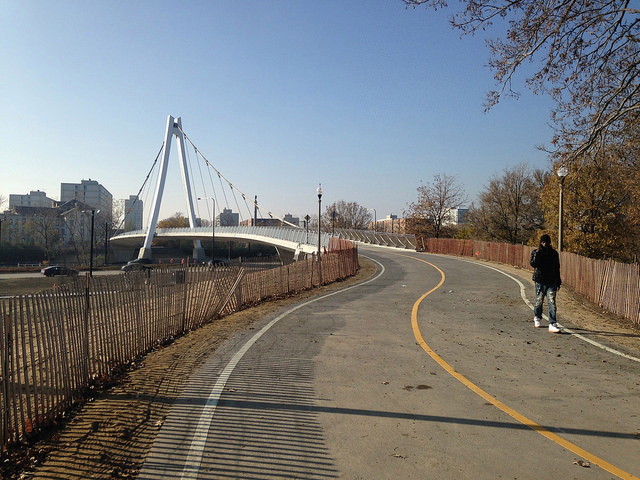
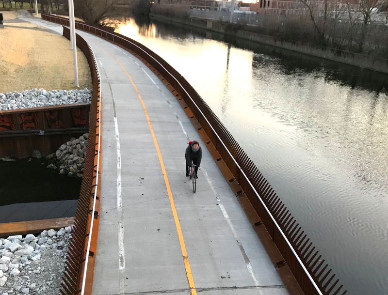
The Riverview Bridge, aka the Hot Doug, is a memorable new piece of infrastructure that forms a key link in the nearly completed 312 RiverRun trail system between Belmont and Montrose avenues. And last year's opening of the Lincoln Village Pedestrian Bicycle Bridge, aka the Stone Free Bridge, 15 years after the late 50th Ward alderman Bernie Stone originally vetoed its construction, was a vindication for the local cycling community.
One part of town that springs to mind as needing improvements to existing bridges, and the construction of new ones, to make walking and biking safer and improve connectivity is the Southwest Side along the Chicago Sanitary and Ship Canal. (Also, any remaining bridges across that would otherwise be fairly bikeable but still have slippery-when-wet open-grate decks, should get bike-friendly decking.)
For the entire roughly five-mile stretch of the Sanitary and Ship Canal between California Avenue and the city limits, all of the bridges – at Kedzie, Pulaski, Cicero, Central, and Harlem – are at least four lanes, generally with high speeds and heavy truck traffic, and no bike accommodations. If you have to ride on these, you may be better off taking the sidewalks, which see relatively few pedestrians. This lack of bike-friendly bridges, or in some cases, any bridges at all (there's a two-mile gap between Central and Harlem), are major mobility barriers.
Converting some of the travel lanes on these massive spans to protected bike lanes would be a big help. And ideally new dedicated bike-pedestrian bridges would be built to fill in some of the gaps in the street network. Here are a few possible locations.
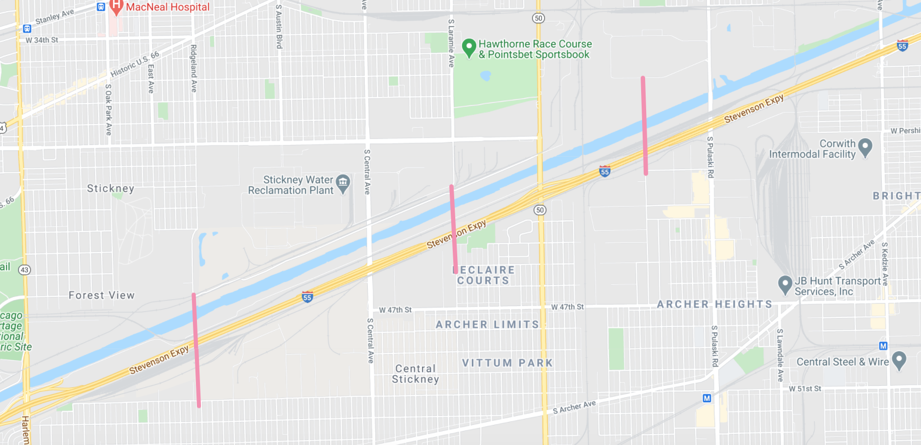
But even assuming there aren't any impassible private properties that would interfere with the plans, these bridges would have to be long, tall, and/or moveable structures to get over the Stevenson Expressway, freight tracks, and the canal, a commercial shipping route. They'd probably be at least as expensive at the 35th Street Bridge over Lake Shore Drive, which was the cheaper of the two new LSD spans at $26 million. So we probably shouldn't hold our breath on such bridges getting build anytime soon, but they're longterm goals worth lobbying for.
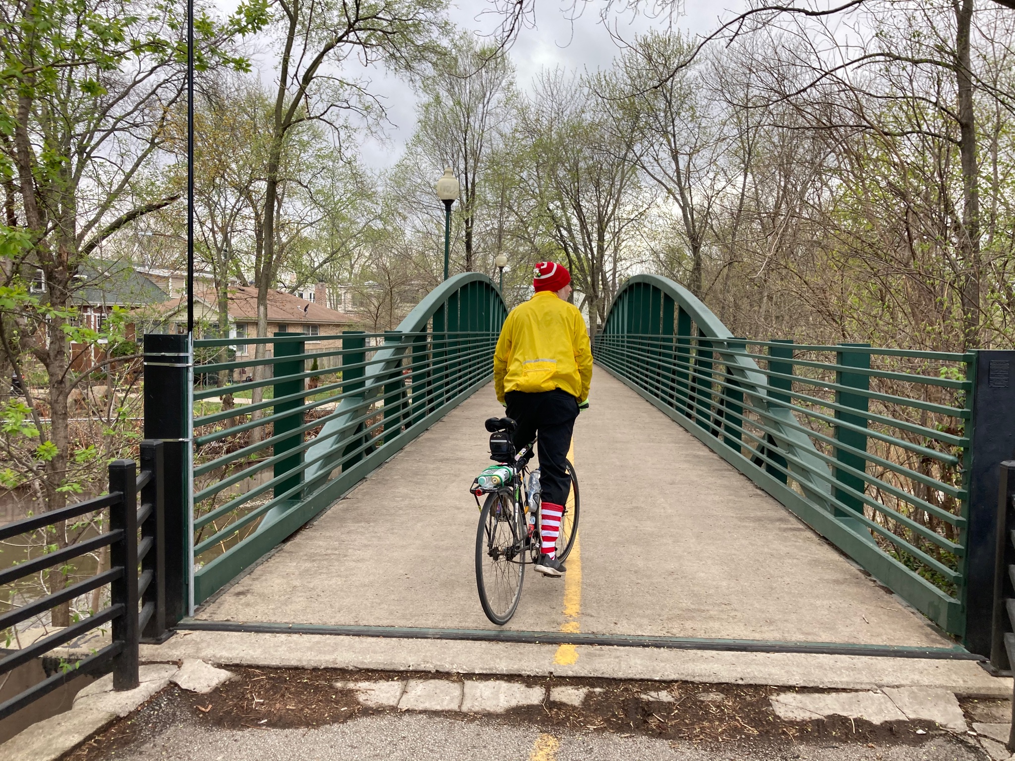
In contrast, on Sunday when I was cycling from Uptown to the North Branch Trail I had a bridge idea that, while addressing a less urgent need, involves relatively low-hanging fruit. I was passing by the stretch of the North Branch of the Chicago River that forms the boundary of the Albany Park and North Park community areas. On a roughly one-mile stretch between the North Shore Channel and Hamlin Avenue there are five, count 'em, five car-free bridges.
So what do you think – would installing bike-ped bridges every half mile or so on suitable waterways to connect side-street routes be a good idea? And, if so, does the above map miss any good spots for new spans?