Map: What could a Slow Streets network look like in Chicago?
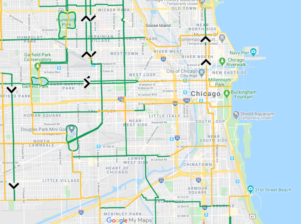
IMPORTANT: This map is intended as a conversation-starter — it is not meant to prescribe exactly which Chicago streets should be opened to people walking and biking. The city of Chicago had no involvement in creating this map. Any final Slow Streets plan implemented by the city will need to be vetted by health officials and local community leaders, particularly in the Black and Latino neighborhoods on the South and West sides that have been hardest-hit by the pandemic. Local knowledge will be necessary to inform the routes, so please don’t be alarmed if you feel there are “deal-breakers” that may be off our radar that would disqualify a roadway shown on this map from becoming a Slow Street.
Also note that this map, which covers the area bounded by 95th Street, Cicero Avenue, Devon Avenue, and Lake Michigan (it’s based on the Chicago Reader’s much more detailed Mellow Chicago Bike Map, which will be expanded citywide later this spring), is intended as a model that could potentially be implemented across the city. Apologies to residents of outlying neighborhoods that this Slow Streets map does not yet include your communities. Once the MCBM is expanded, it will be available as a citywide resource to the city of Chicago if it plans a Slow Streets network.
In addition, remember that these Slow Streets are proposed as a temporary intervention during Illinois’ Stay at Home order, when car use is greatly reduced, so that prohibiting through traffic on some streets would have little or no impact on congestion on nearby main streets. On the other hand, if local residents like the change, it might be possible to create permanent Slow Streets, especially since it’s likely that the change will convert some trips that were previously done on these streets by car to walking or biking.
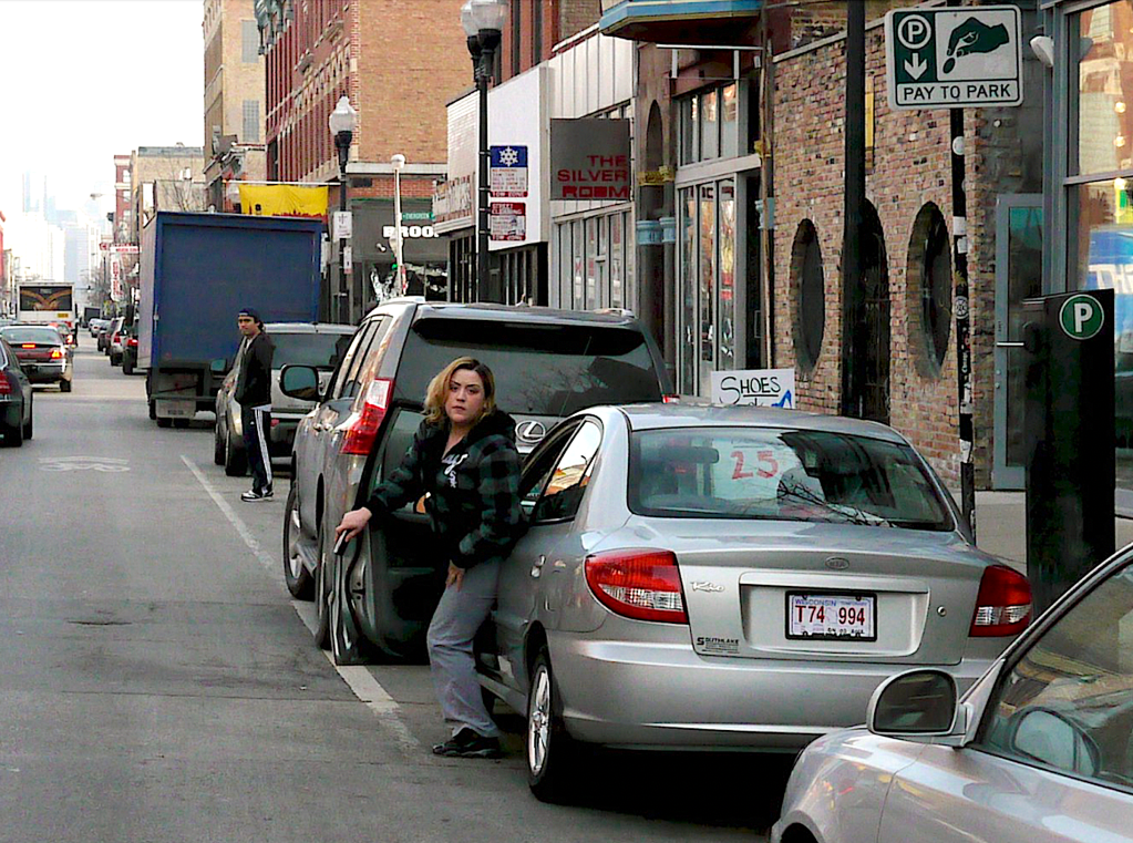
Cities around the country and the world have been doing “open streets” interventions to create more space for safe, socially-distanced walking and biking during COVID-19, a time when car traffic is down, but speeding and the severe crash rate is up.
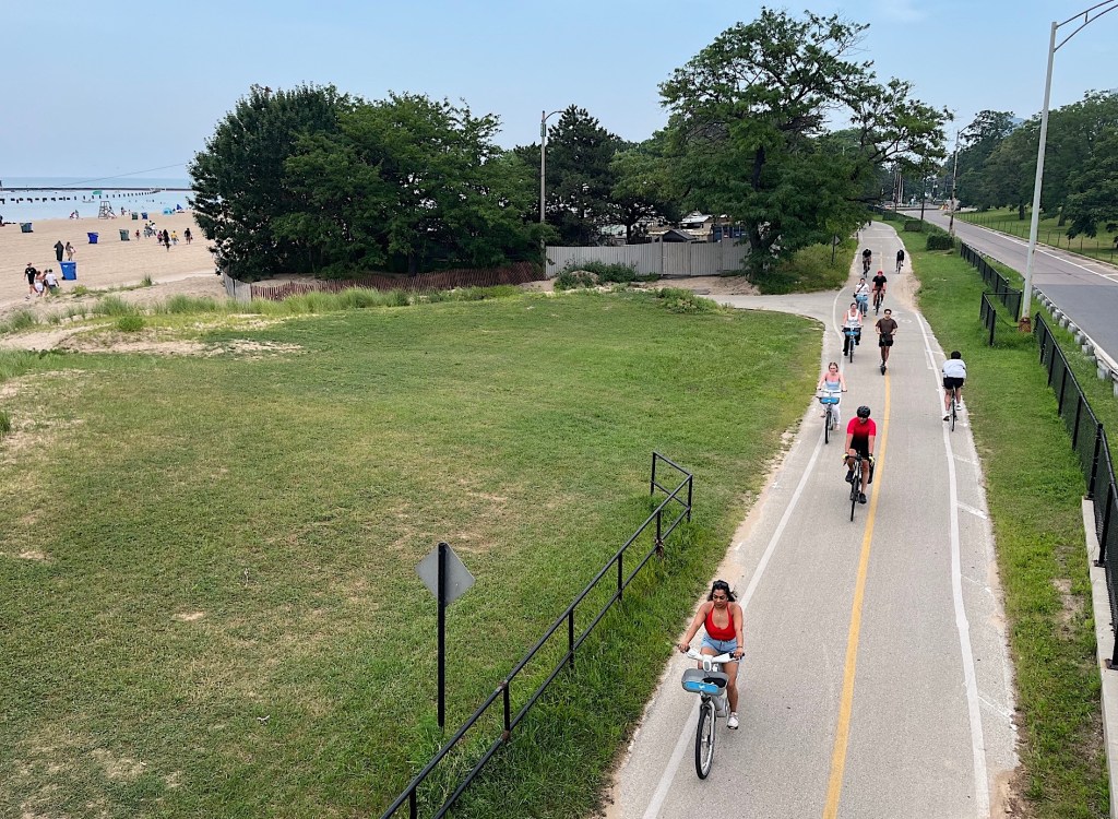
If such a network could be implemented in Chicago, it would not only make room for safely-spaced recreation, but also create low-stress bike and walking commute routes for workers. That would help prevent a spike in driving when Illinois’ Stay at Home order is lifted and workplaces are reopened, but many residents are still avoiding transit.
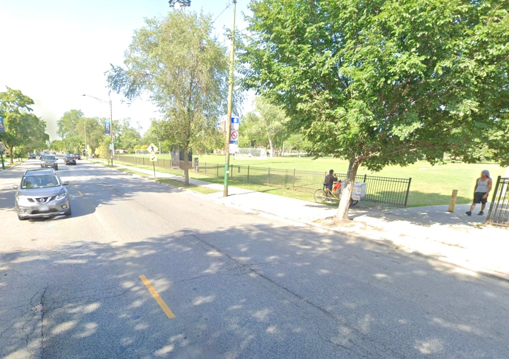
One of the most successful open streets programs is the Oakland Slow Streets initiative, which will prohibit through traffic on 74 miles of side streets, while allowing vehicular access for parking, deliveries, first responders, etc. Signs and cones are used to alert drivers of the ban on through traffic and warn them to watch out for pedestrians in the road. It’s cheap, quick, and requires no additional policing, and it appears to be popular with residents.
Chicago should create a Slow Streets network during the pandemic. This map some potential Slow Streets routes in the central city, including side streets and park roads where through traffic could be prohibited during Stay at Home without disrupting cross-town traffic or retail. Green roads are possible Slow Streets; yellow roads are connecting routes on main streets, preferably ones with existing bike lanes; and pink lines are selected off-street trails.
In general, Slow Streets should only be implemented on streets without bus routes (an exception on this map is Stockton Avenue in Lincoln Park, since buses could potentially be rerouted to nearby Clark Street), and little or no retail. To prevent unsafe congestion or congregation, Slow Street routes should only be established on stretches of road at least half a mile long. Routes that can potentially serve as useful biking or walking commute routes for commutes and errands, particularly ones that parallel busy bus lines, should be prioritized.
The Chicago Department of Transportation is asking residents to share their observations of pandemic-related transportation and public space issues at covidmobility@cityofchicago.org. Be sure to mention details about the issue such as the nearest intersection. You can also complete a survey to weigh in on Mayor Lightfoot’s reopening plan for the city.
Hammersley Architecture created a Chicago Promenades Plan, which lays out additional guidelines for creating a Slow Streets network in our city.
Are there any roadways that you feel should be considered for a Slow Streets treatment that aren’t shown on this map? Please let us know in the comments.

Read More:
Streetsblog has migrated to a new comment system. New commenters can register directly in the comments section of any article. Returning commenters: your previous comments and display name have been preserved, but you'll need to reclaim your account by clicking "Forgot your password?" on the sign-in form, entering your email, and following the verification link to set a new password — this is required because passwords could not be carried over during the migration. For questions, contact tips@streetsblog.org.