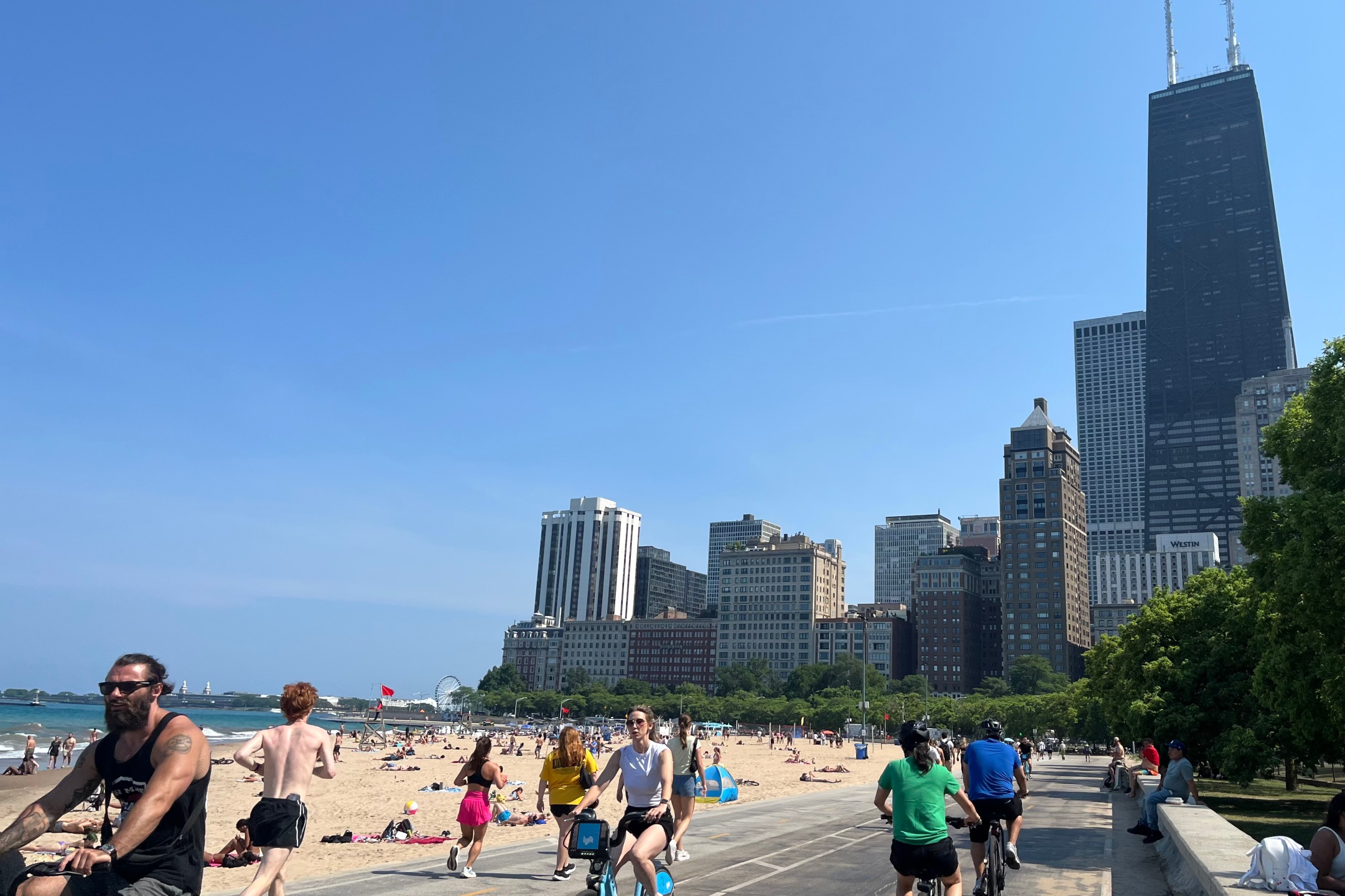

Here at Streetsblog we spill a lot of digital ink discussing bicycling in Chicago proper, but there are plenty of cyclists in the suburbs as well. A consortium of northern and northwestern suburbs is looking to make the area more bike- and pedestrian-friendly.
Earlier this year, the Northwest Municipal Conference launched the area’s first multimodal transportation plan. It builds upon and updates the earlier 2010 NWMC 2010 Bicycle Plan, as well as cycling, pedestrian and transit improvements member communities have made over the years. The idea is to take the regional view to “further collaboration across municipal boundaries and provide shared data and tools to help create a more connected, equitable, and healthy region.”
The first draft of the plan isn’t expected to be released until January, but NWMC has already released the study of the existing conditions. It found significant gaps in sidewalks and bike trail infrastructure. As in Chicago, bicycle safety is a major concern. And while many Metra stations in the region are located in the heart of the municipalities they serve, commuters tend to drive to stations -- though there are notable exceptions in the North Shore.
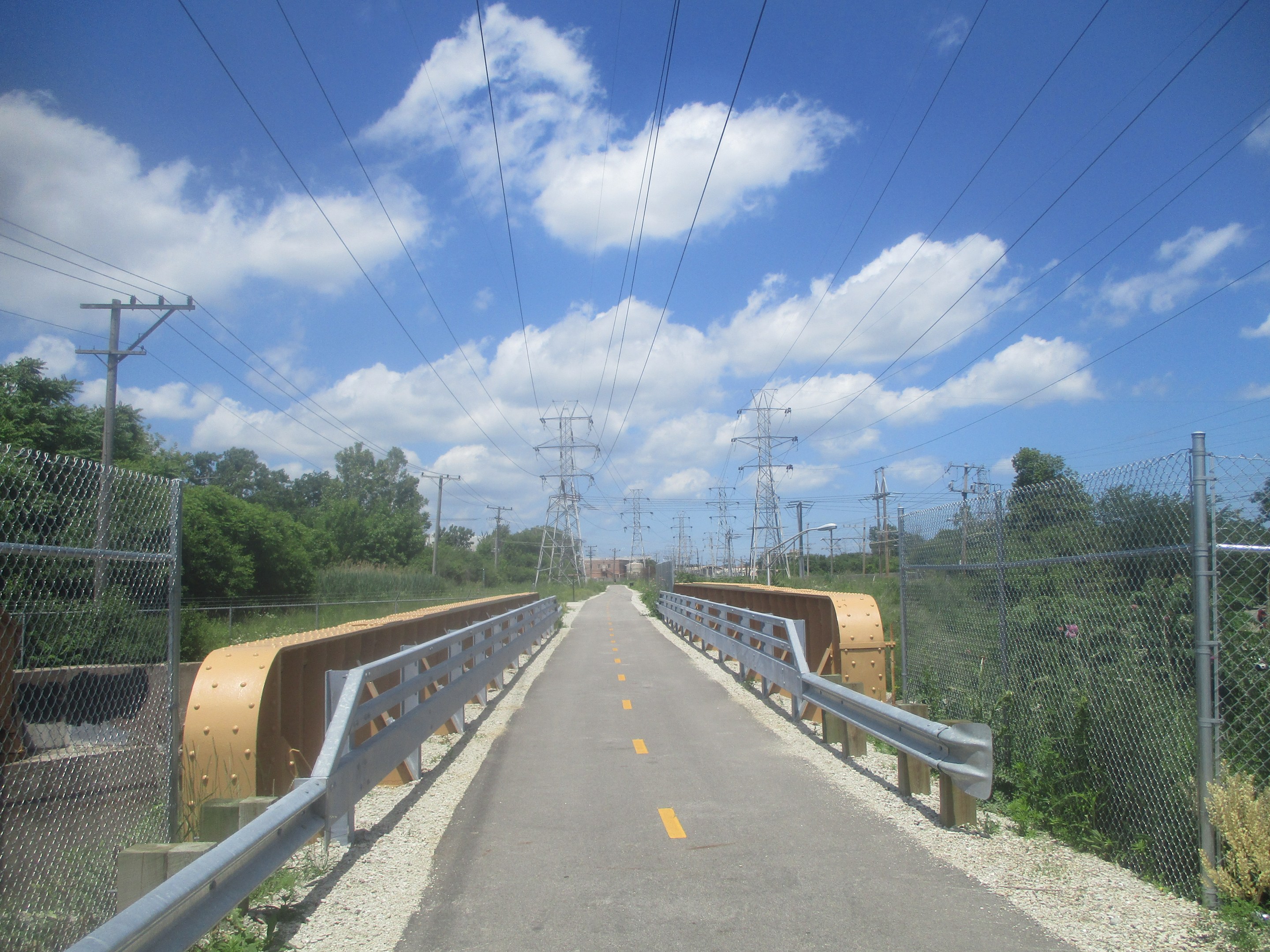
NWMC is made up of 41 suburbs, including the entirety of north and northwest Cook County and some suburbs in the neighboring counties further north, northwest and west. While the complete list would take up the entire paragraph, suffice to say that the level of cycling amenities and public transit access varies between members. For example, Skokie contains a portion of Skokie Valley Trail and is served by the Yellow Line and several local and express Pace and CTA routes, while Palatine has some off-street trails winding through the village, hiking and biking paths in the forest preserve, a Metra station downtown and a single bus route that only serves the poorest corner of the village.
According to the plan's website, the plan will have three major components. It will map out “priority bicycle corridors” that will link together the existing bike and hiking trails, establishing together a trail network that would be safe and welcoming “for people of all ages and abilities.” It will look at sidewalks along all major regional roads and areas near bus stops and train stations to see what the gaps are. And, more broadly, it will determine ways to make it easier for residents to walk and/or bike to bus stops and ‘L’ and Metra stations.
While the planning will be done on regional level, it will be up to member communities to actually execute it -- which is why NWMC will prepare “an implementation guide designed to empower communities to begin making changes on-the-ground.”
The Existing Conditions Report
One issue with public transit at the moment, the report posited, is that nearly half of the jobs within the region are within half a mile, or about a 10-minute walk of a rail station or a “high-frequency bus stop,” but only only about 39 percent of the residents live within half a mile of a station or high-frequency stop. If one expands that range to 1.5 miles, the number jumps to 75 percent. So getting residents to transit would extend job opportunities -- and the report posits that the cycling could provide that missing, first/last mile link.
As part of the planning process, NWMC surveyed residents about what keeps them from walking, biking or using transit, getting around 500 responses. Major factors respondents cited included lack of safe street crossings, speed of traffic, lack of access to trails and paths, and, for transit, distance from stops/stations, and low service frequencies.
The report looked at how riders are getting to Metra stations. In most cases, commuters drove, but there are also notable exceptions. The stations where more than half of the commuters arriving by walking were all located on the North Shore, including Evanston, Wilmette, Kenilworth, and Winnetka. Hubbard Woods, one of the three stations serving Winnetka, saw 82 percent of commuters walk to the station. One of the other Winnetka stations, Indian Hill, saw 62 percent. Evanston’s Davis and Main Street stations saw 59 percent and 71 percent, respectively.
Four out of five stations that had a high number of commuters arriving by bike were also located in North Shore. The station with the fifth highest number of commuters arriving by bike was the relatively new Prospect Heights station, which, like most stations built to serve the North Central Service line, has a large commuter car parking lot and not much in the way of sidewalks.
The report does note that all Metra stations in NWMC communities have bike parking, though the number of spaces varies from two to 70.
As the Metropolitan Planning Council’s Toward Universal Mobility report highlighted, gaps in sidewalks leading to bus stops is a major access issue. The NMMC existing conditions report found that the issue affects ‘L’ and Metra stations as well. The study looked at about 2,200 miles of arterial streets and feeder streets, as well as sidewalks around Metra stations, and found that every single member community had at least some stretches of road where sidewalks are missing on both sides. Overall, 62 percent of the surveyed streets had sidewalks on both sides. But the study noted that 21 percent of the streets, or 409 miles, had gaps in sidewalks or missing sidewalks on one side, and 17 percent, or 324 miles, had no sidewalks at all.
“The lack of a complete sidewalk network inhibits NWMC residents and visitors from walking in their communities, to transit stops, and to other key destinations,” the report stated. “Sidewalks not only create a connected pedestrian network, but also an accessible network. A patchy sidewalk network makes it difficult for people, particularly with wheelchairs, walking aids, or strollers, to navigate a thoroughfare.”
The report broke the gaps into tiers in order of priority, giving the highest priority to streets leading to schools and public transit, while sidewalks leading to commercial areas and job centers got the second-highest priority. Fox Lake got the highest number of recommendations in terms of miles, but the more transit-friendly Des Plaines got the second-highest priority.
Another issue that the report highlighted are crashes. The downtown Des Plaines Metra station, which doubles as a major Pace bus hub, has seen the third highest number of crashes. The Oakton-Skokie Yellow Line ‘L’ station and Dempster Purple Line ‘L’ station had the second-highest and the highest number, respectively.
Overall, the area saw 72 pedestrians and 216 cyclists seriously or fatally injured near train stations and/or bus stops between 2013 and 2016, “Changes must be made in order to eliminate pedestrian and bicycle crashes, such as implemented or improved sidewalks, safe intersection crossings, bicycle facilities, and reduced vehicle travel speeds,” the report stated.
For more information about the planning process, click here.