39th Ward PB election funds a half mile of protected bike lanes on Montrose between Pulaski and Kostner in Irving Park
It's not a bad location for protected lanes since this part of Montrose, a mostly two-lane street, connects with Elston Avenue, a diagonal crosstown cycling route.
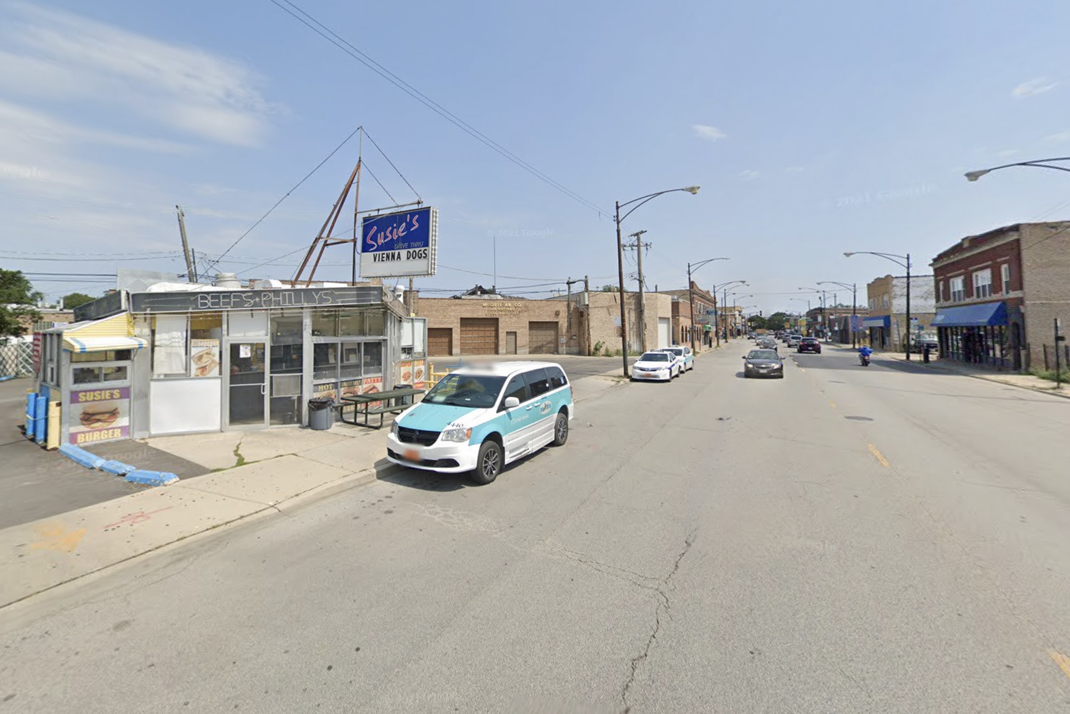
An August 2019 Google Street View of the late, great Susie’s Drive-Thru, which was located along the upcoming protected bike lane route, near Montrose/Elston. It closed last year after 50 years in the Irving Park neighborhood. Image Google Maps
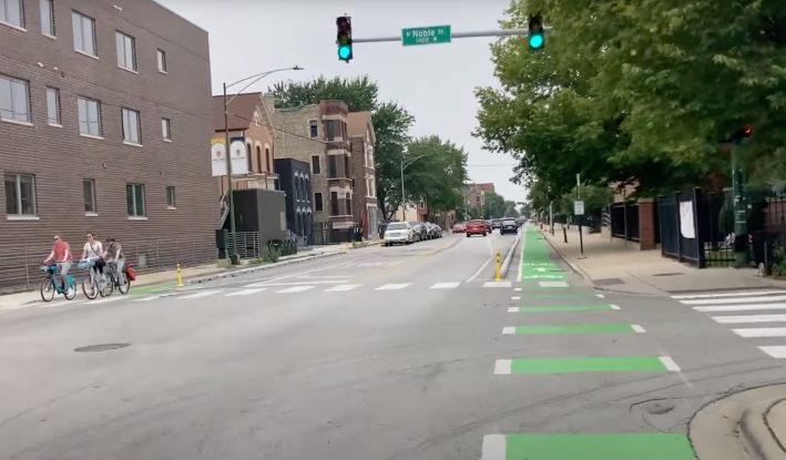
Protected bicycle lanes seem to be the wave of the future in Chicago, with the goal of shielding cyclists from unsafe drivers, and making cycling a less stressful, more enjoyable way to get around. Last spring the Chicago Department of Transportation stated in its Chicago Cycling Strategy that it intended to install 150 miles of new bikeways in the next few years, and 85 percent of the planned projects are protected lanes or side street routes. Recently CDOT has been upgrading existing paint-and-post PBLs with curbs. And last week the department cut the ribbon on a new 1.3-mile stretch of protected lanes on Augusta Boulevard in West Town, that many cyclists have praised as a nice addition to the local bike network.
And recently Alderperson Samantha Nugent (39th) announced that a new half-mile stretch of protected lanes is coming to her ward on Montrose Avenue (4400 North) between Pulaski Road (4000 W.) and Kostner Avenue (4400 W.) in the Irving Park community area. The project was one of four top vote getters in the ward's participatory budgeting election. This initiative allowed residents to propose projects and decide which ones should be funded with a total of $500,000 of the district's $1.5 million in annual "menu" infrastructure funding. The bike lanes will cost $150,000.
"I am excited to announce the community-selected infrastructure improvement projects that will be funded through the fourth cycle of Participatory Budgeting in the 39th Ward," Nugent said in an email to constituents. She added that 1,044 voters picked the four winners out of 11 proposals.
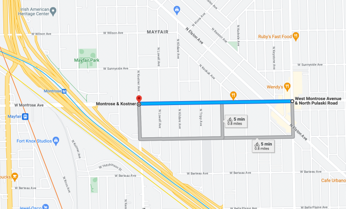
The PBL project is called "Connected Bike Lanes & Pedestrian Safety on W. Montrose Ave," which may refer to the fact that protected lanes inherently benefit people on foot by shortening pedestrian crossing districts. It's not a bad location for protected lanes since this part of Montrose, a mostly two-lane street, connects with Elston Avenue, a diagonal crosstown cycling route with non-protected bike lanes.
And Montrose/Kostner is just east of the Montrose Blue Line station and the Mayfair stop on Metra's Milwaukee District North line to Fox Lake. Streetsblog's John Greenfield will definitely use these protected lanes to get from his home in Uptown to the Mayfair station when he takes bike + train camping trips via the MD-N to Chain O'Lakes State Park, a few miles north of the Fox Lake stop.
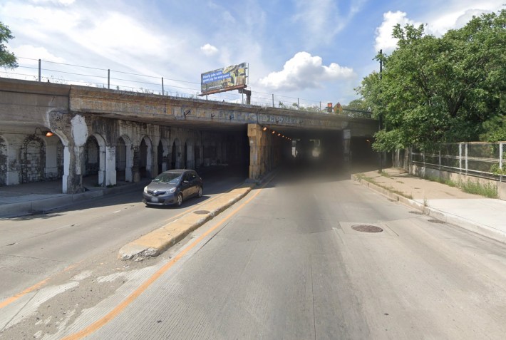
It's understandable that the new PBLs, paid for by the 39th Ward, won't go east of Pulaski, which is basically the eastern boundary of the district. But it's unfortunate that the lanes don't continue west to the two train stations, which are still in Nugent's territory. That would make conditions safer for cyclists when they cross on- and off-ramps for the Kennedy Expressway and ride under a couple of intimidating Metra underpasses west of the Interstate.
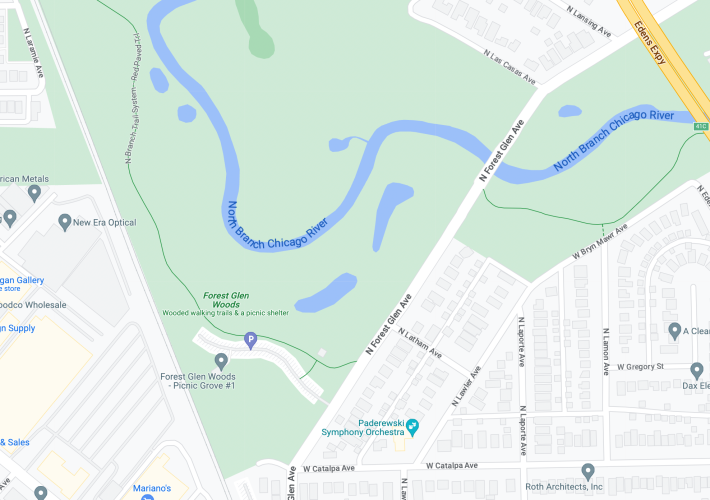
The 39th Ward PB election is also funding a proposal called "Pedestrian Safety & Traffic Calming in Forest Glen." This $50,000 project will "install crosswalks and traffic calming measures" at the intersection of Catalpa Avenue (5500 N.) and Forest Glen Avenue (about 5000 W. here), as well as Latham Avenue (about 5600 N. here) and Forest Glen (about 4900 W. here), near the North Branch Trail. In addition to improving safety for people on foot, this should make it a little easier for some neighbors to access the bike path.

Did you appreciate this post? Please consider making a tax-deductible donation.
Stay in touch
Sign up for our free newsletter
More from Streetsblog Chicago
Johnson appoints one West Side pastor to CTA board, then nominates another West Side pastor for RTA board
Supporters argue that, despite his lack of transit expertise, Ira Acree’s social justice experience and political connections could be an asset for the RTA board.
Today’s Headlines for Thursday, April 26


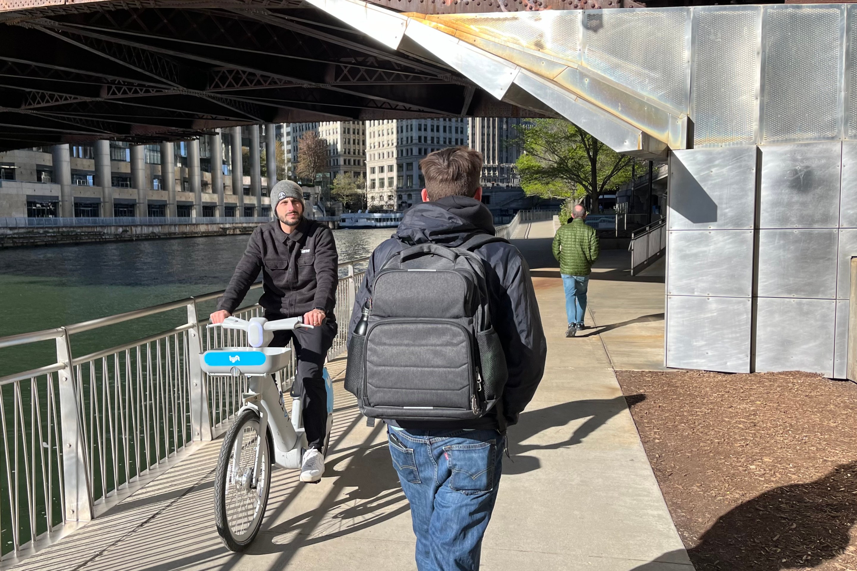
The de-facto ban on riverwalk biking is back. What should we do about it?
In the short term, new signage is needed to designate legal areas for cycling on the path. In the long term CDOT should build the proposed Wacker Drive protected bike lane.