Here’s a mellow bike route connecting the Lakefront Trail and the North Branch Trail

Image: John Greenfield via Google Maps
Even as COVID-19 (hopefully) draws to a close this year, the pandemic-related bike boom is likely to continue, as people who sought safe, socially-distanced forms of transportation and recreation during Stay at Home continue to enjoy the many other benefits of biking. And one of Chicagoland's best cycling assets is the North Branch Trail, which winds about 20 miles from the Northwest Side of the city to the Chicago Botanic Gardens in suburban Glencoe. Lushly forested, it runs parallel to scenic waterways, making it the perfect urban escape, and it's common to spot frolicking deer along the way.
A couple of years ago the North Branch Trail got even better after it was extended southeast a few miles from its previous terminus at Devon Street and Caldwell Avenue in Edgebrook, to Foster and Kostner avenues in North Mayfair, making it much more accessible to Chicagoans. But the fly in the ointment is that there isn't an obvious bike-friendly route to access the southern trailhead from other parts of the city. While southeast of the trailhead there are a few snippets of bike path in small parks along the river, they don't really form a cohesive low-stress route.
It seems like a no-brainer for the Chicago Department of Transportation to post bike route signs directing residents to the trailhead, as they have for destinations in other parts of town. Especially useful would be a route connecting the NBT with the North Shore Channel Trail, located about two miles to the east, and the Lakefront Trail, about five miles east. Creating this east-west route would also make it easier for people coming from parts north and south to connect with the itinerary and use it to access the North Branch Trail.
But since the city hasn't done that yet, here's a mellow bike route I've devised between the the NBT and the LFT. With the exception of short stretches on Lawrence, which has bike lanes, Clark, and Kimball, it's comprised of quiet side streets, and all major street crossings have stoplights or four-way stop signs, so the route should work pretty well for families with kids.
The westbound route will get simpler and even more relaxing this year after a traffic-calmed Neighborhood Greenway is installed on Leland Avenue in Lincoln Square and Ravenswood, including a contraflow bike lane that will allow two-way cycling all the way to the river. (There's already a greenway treatment on Leland in Uptown, but currently some stretches of Leland west of Clark are eastbound only.) Westbound riders will then be able to stay on Leland until Rockwell Avenue (2600 W.) and then head north to Argyle Street (5000 N.) to pick up this route.
I've ridden this itinerary many times, and I think it's pretty sweet, but obviously there's more than one way to skin a cat. Do you have a different east-west, or north-south route to the North Branch trailhead, or any suggested improvements to this one? Tell us about it in the comments.
Update: After the publication of this piece, a reader asked for a mellow route between the north end of the Lakefront Trail and the North Branch Trail. See the map embedded above.
Stay in touch
Sign up for our free newsletter
More from Streetsblog Chicago
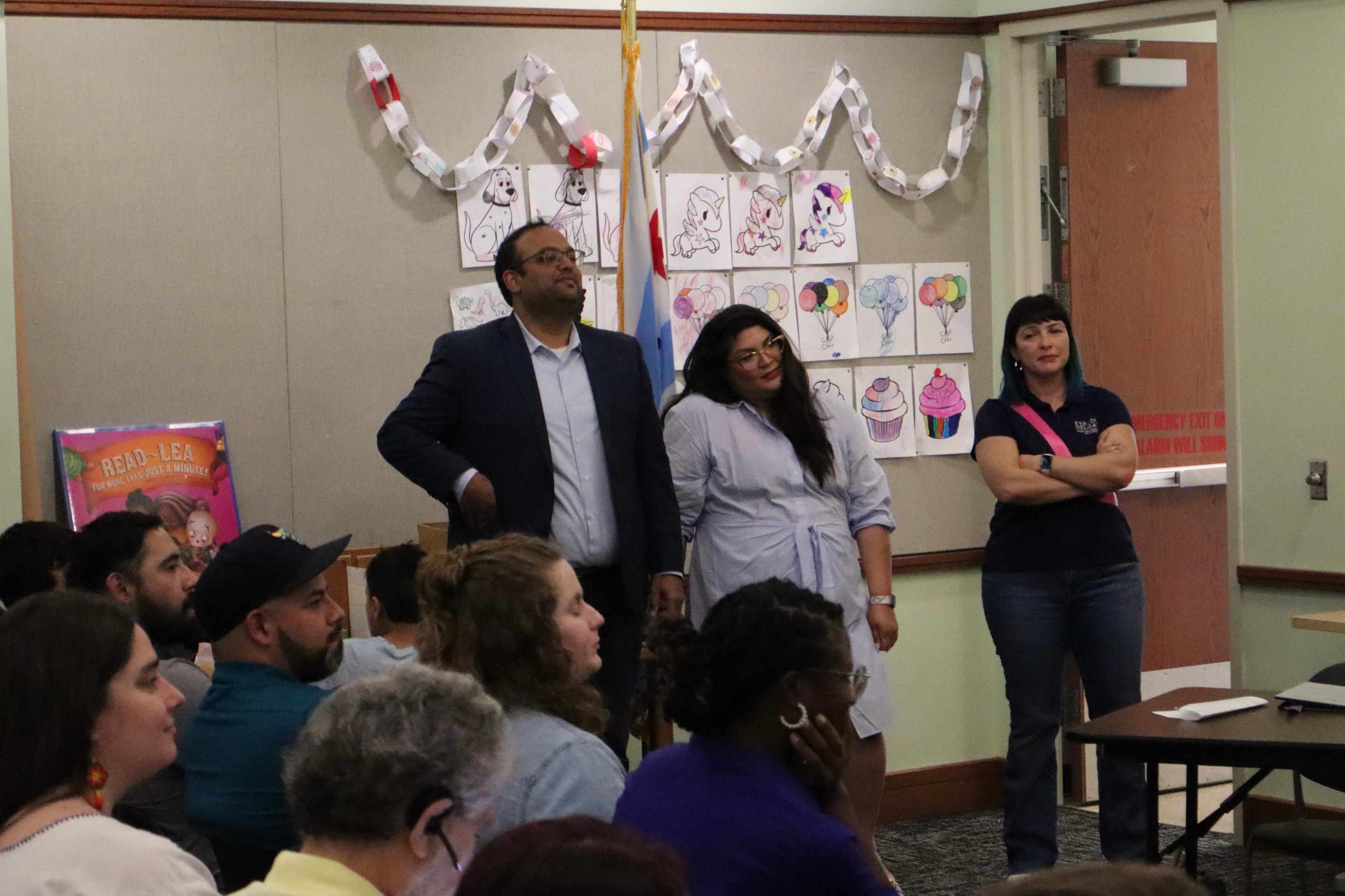
State legislators pushing for merging CTA, Pace, and Metra into one agency spoke at Transit Town Hall
State Sen. Ram Villivalam, (D-8th) and state Rep. Eva-Dina Delgado (D-3rd), as well as Graciela Guzmán, a Democratic senate nominee, addressed the crowd of transit advocates.
Today’s Headlines for Tuesday, April 30


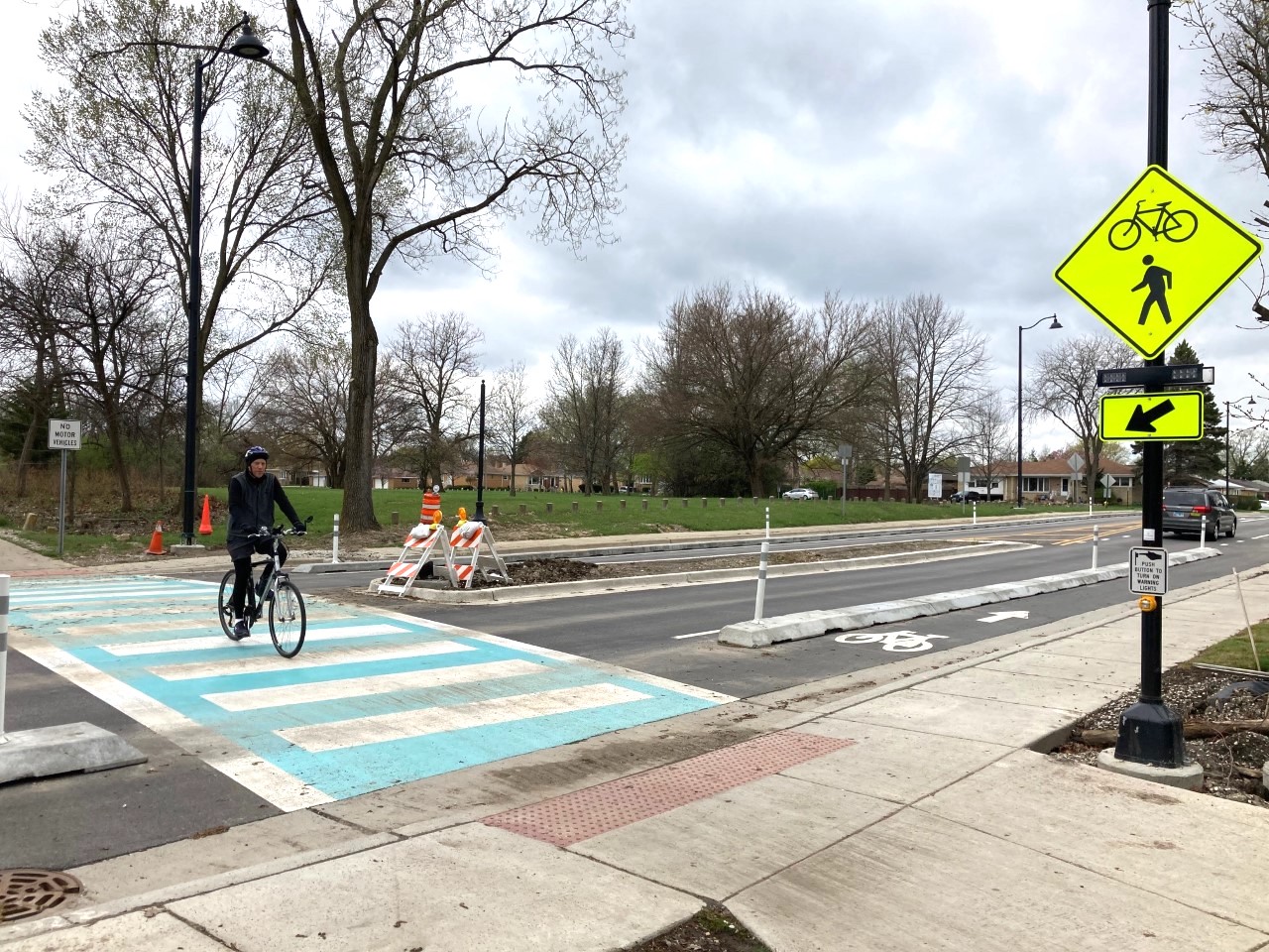
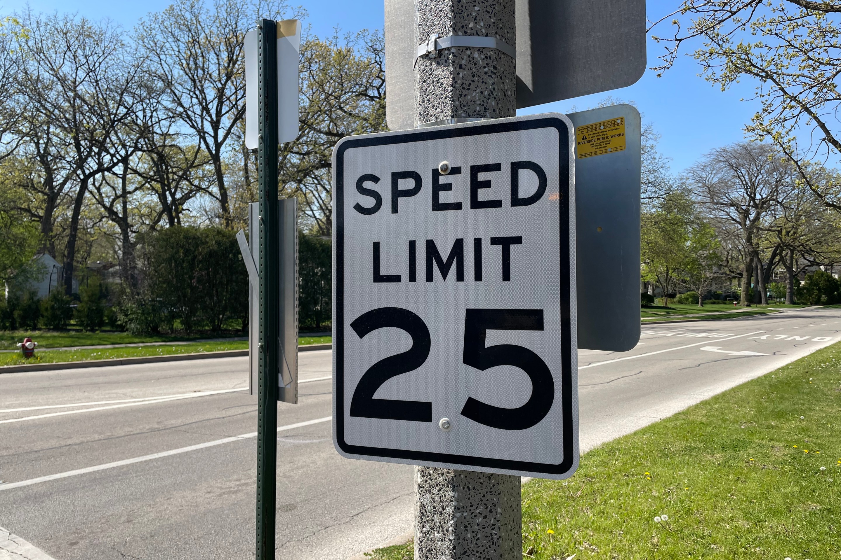
Equiticity and ATA: Passing a 25 mph speed limit should be combined with street redesigns that calm traffic
Equiticity, a mobility justice nonprofit, says the new speed limit shouldn't involve increased enforcement, which it says would disproportionately impact drivers of color
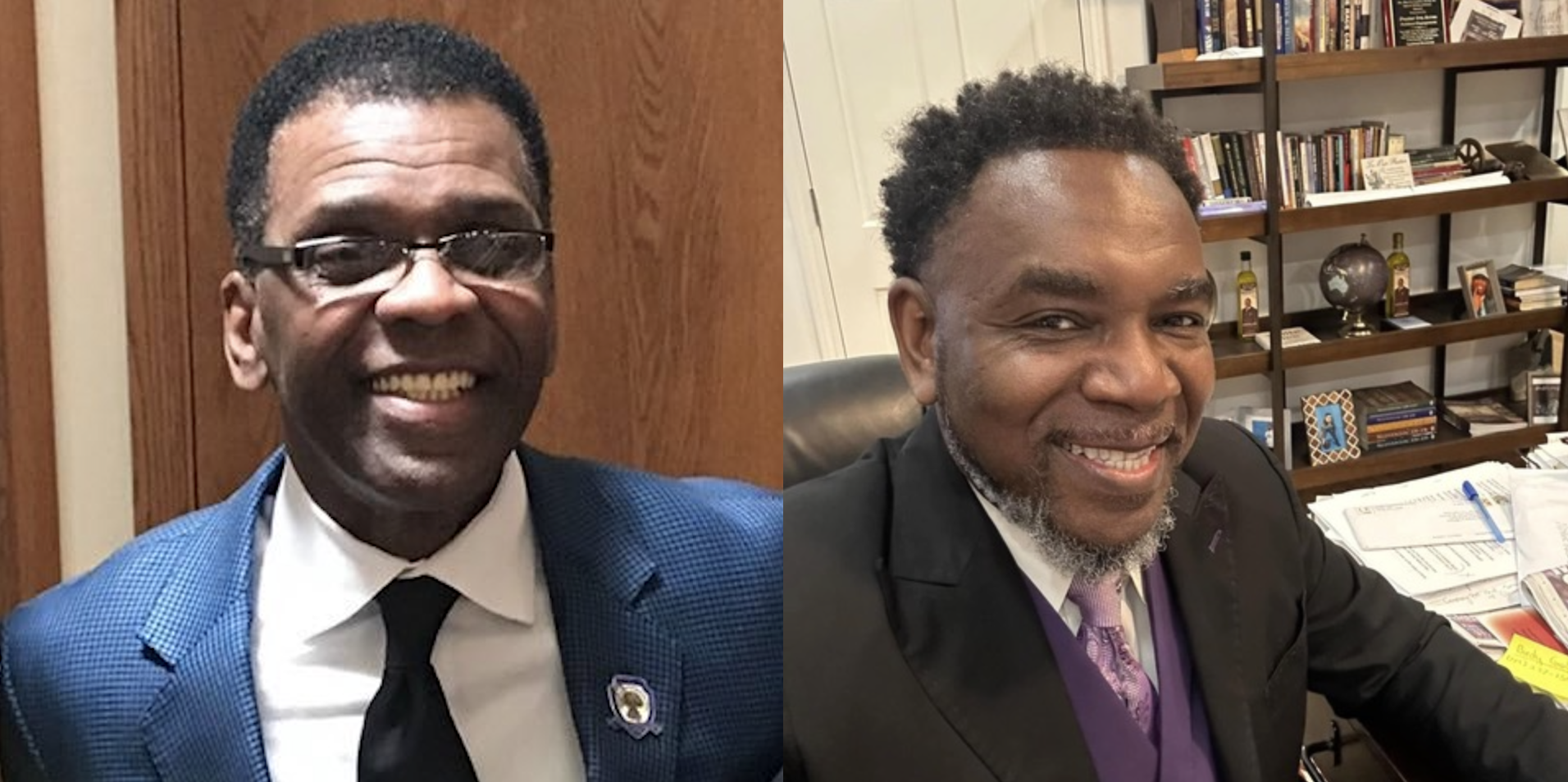
Johnson appoints one West Side pastor to CTA board, then nominates another West Side pastor for RTA board
Supporters argue that, despite his lack of transit expertise, Ira Acree’s social justice experience and political connections could be an asset for the RTA board.