Here are some good resources for getting started living car-free in Chicago
It’s pretty sweet to work for the blog that inspired my move to Chicago. I grew up in Little Rock, Arkansas, and knew that I’d eventually move to a larger city. In high school I discovered the link between climate change and our car-centric transportation system and vowed to move to a city where I wouldn’t need to own a car for daily trips. I chose Chicago due to its proximity to Little Rock, relatively cheaper cost of living (compared to peer cities like New York City), cultural offerings, and robust public transportation, at least by U.S. standards.
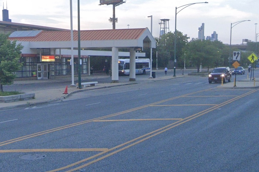
In my first visit to the city as an adult I relied on Google Maps to help me navigate the CTA. I got lost plenty of times. One memorable experience was when I stood on the Sheridan Red Line platform utterly confused about whether I got off at the right stop for my destination along Sheridan Road.
A few weeks ago someone who recently moved to our city from suburban New Jersey wrote to Streetsblog Chicago asking if we offered one-on-one or group orientations for using Chicagoland transit. “Having been car-dependent for most of my life, it’s a little intimidating, but I am convinced (and your blog reinforces this) that going carless is a good option.”
We don’t offer this service but we certainly recognize the need for accessible resources for those navigating local transit for the first time. We asked our readers on Twitter what resources they’d recommend to folks navigating Chicago’s transit system for the first time.
If you’re open to navigating Chicago on two wheels, consider a Divvy membership. Most Chicago transit stops have nearby Divvy stations, so the cycles are handy for first- and last-mile trips to and from the train. I started out using Divvy for rides on the Lakefront Trail, but I eventually started using the system whenever I’d miss a bus or found the wait time for a bus too long.
Streetsblog Chicago co-editor John Greenfield created the Chicago Mellow Bike Map, a guide for those seeking a calmer way to get around Chicago by bike. I encourage you to save the map to your phone. In general, you can find a calm side street one or two blocks over from a major road.
How easy it is to live car-free in Chicago definitely depends on your neighborhood and lifestyle but in general this is a city where it’s possible to enjoy a good quality of life without car ownership.
Are there any other tips you’d recommend to those new to car-free life in Chicago? Share them in the comments section.

Streetsblog has migrated to a new comment system. New commenters can register directly in the comments section of any article. Returning commenters: your previous comments and display name have been preserved, but you'll need to reclaim your account by clicking "Forgot your password?" on the sign-in form, entering your email, and following the verification link to set a new password — this is required because passwords could not be carried over during the migration. For questions, contact tips@streetsblog.org.