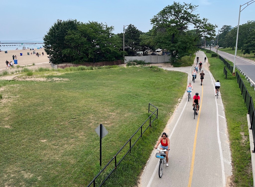
Find good routes with the new Chicago Bike Routes app from CNT’s Paul Esling
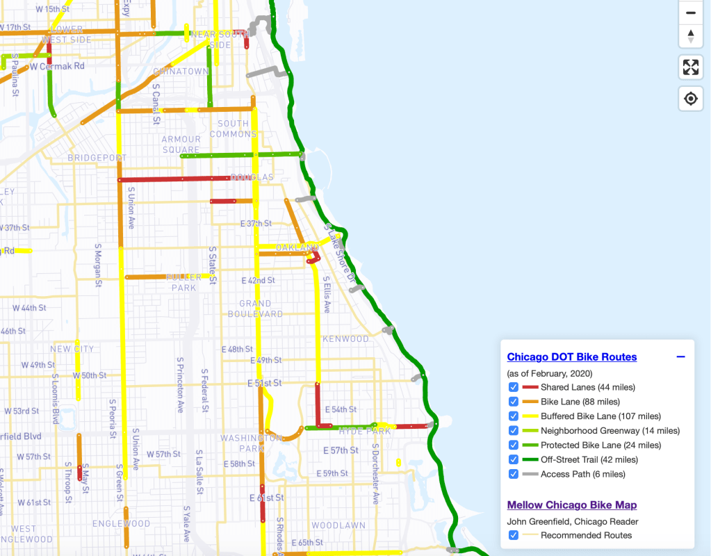
The Chicago Department of Transportation’s Chicago Bike Map is useful for finding the city’s official marked and/or signed bike routes, generally on main streets.
The Chicago Reader’s Mellow Chicago Bike Map is handy for finding low-stress cycling itineraries, mostly on side streets, if I do say so myself.
But what if you combined these two maps, sort of like chocolate and peanut butter in a Reese’s Peanut Butter Cup — would it be the bike cartography equivalent of “two great tastes that taste great together,” as the old ad used to say?

Streetsblog has migrated to a new comment system. New commenters can register directly in the comments section of any article. Returning commenters: your previous comments and display name have been preserved, but you'll need to reclaim your account by clicking "Forgot your password?" on the sign-in form, entering your email, and following the verification link to set a new password — this is required because passwords could not be carried over during the migration. For questions, contact tips@streetsblog.org.