Newest car-free Cafe Streets mostly appear to be doing booming business
The Heart of Italy Cafe Street on Oakley. Photo: John Greenfield
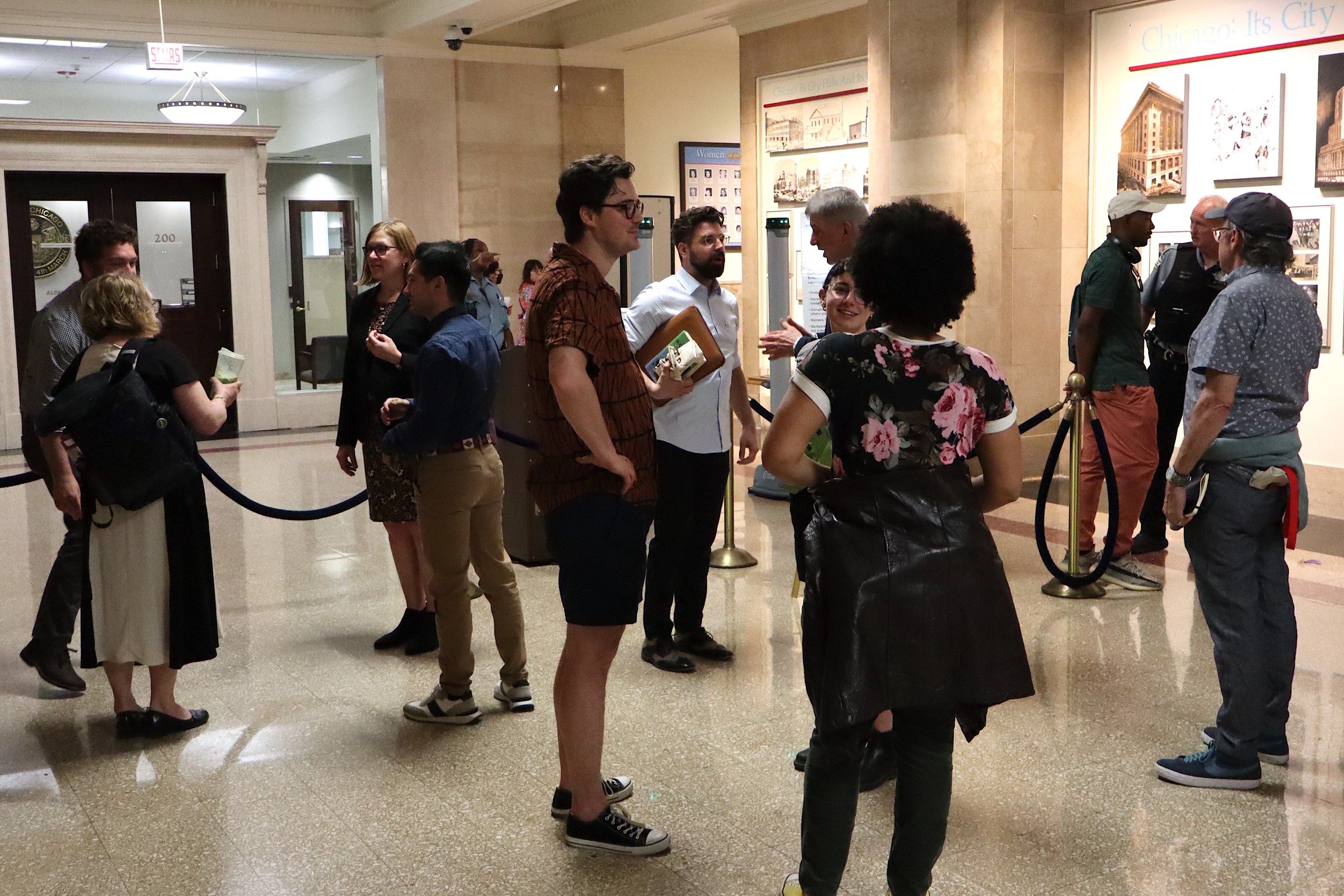
As reported by Block Club Chicago Friday, the city recently released the following list of Cafe Streets -- roadways that have been pedestrianized to make room for outdoor, socially-distanced dining -- that would be in effect over the weekend. Linked streets are ones that Streetsblog Chicago had previously visited or written about.
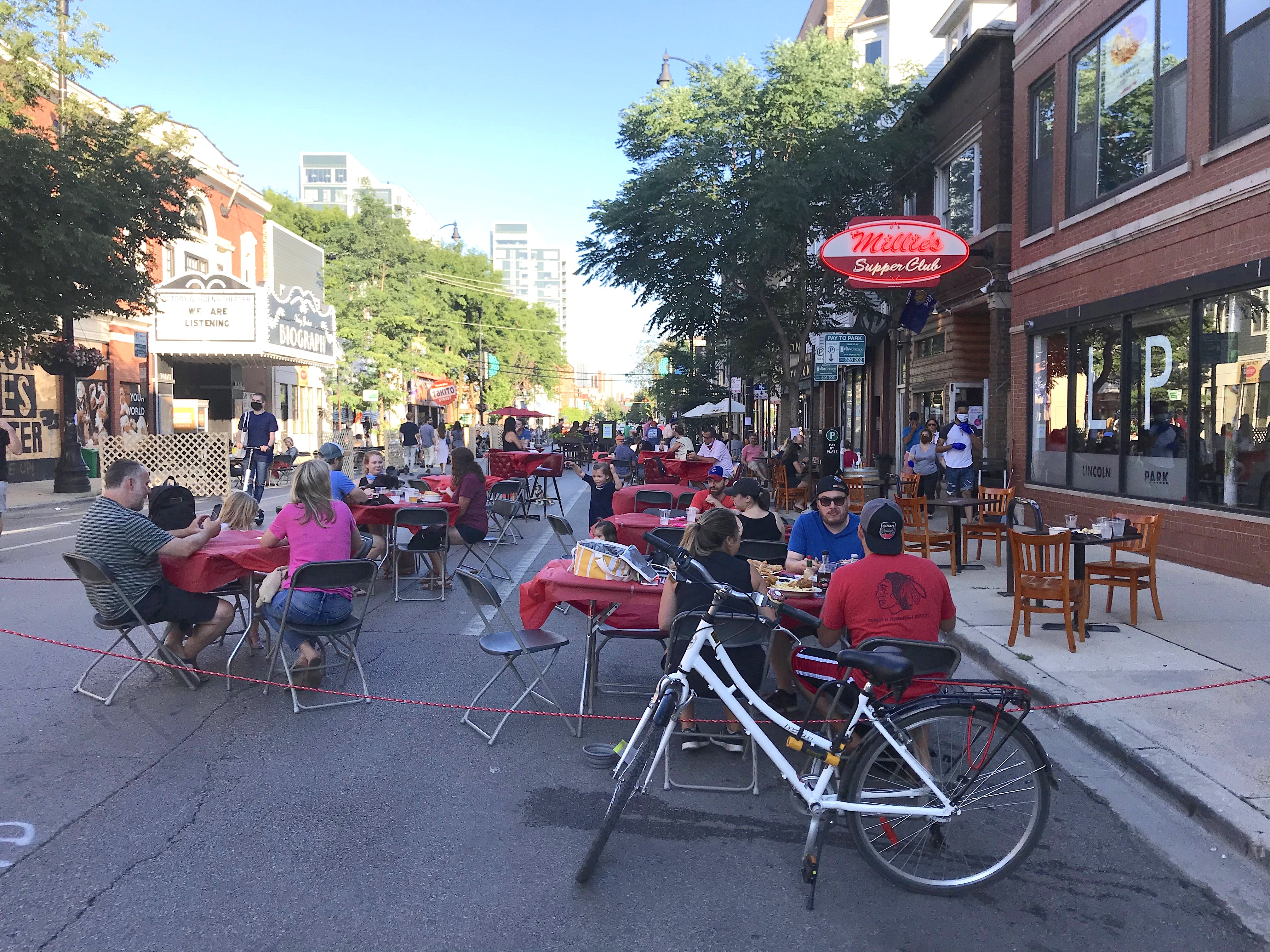
- Lincoln Avenue: Fullerton Avenue to Wrightwood Avenue in Lincoln Park.
- Oakley Avenue: 24th Street to 24th Place on the Heart of Italy dining strip.
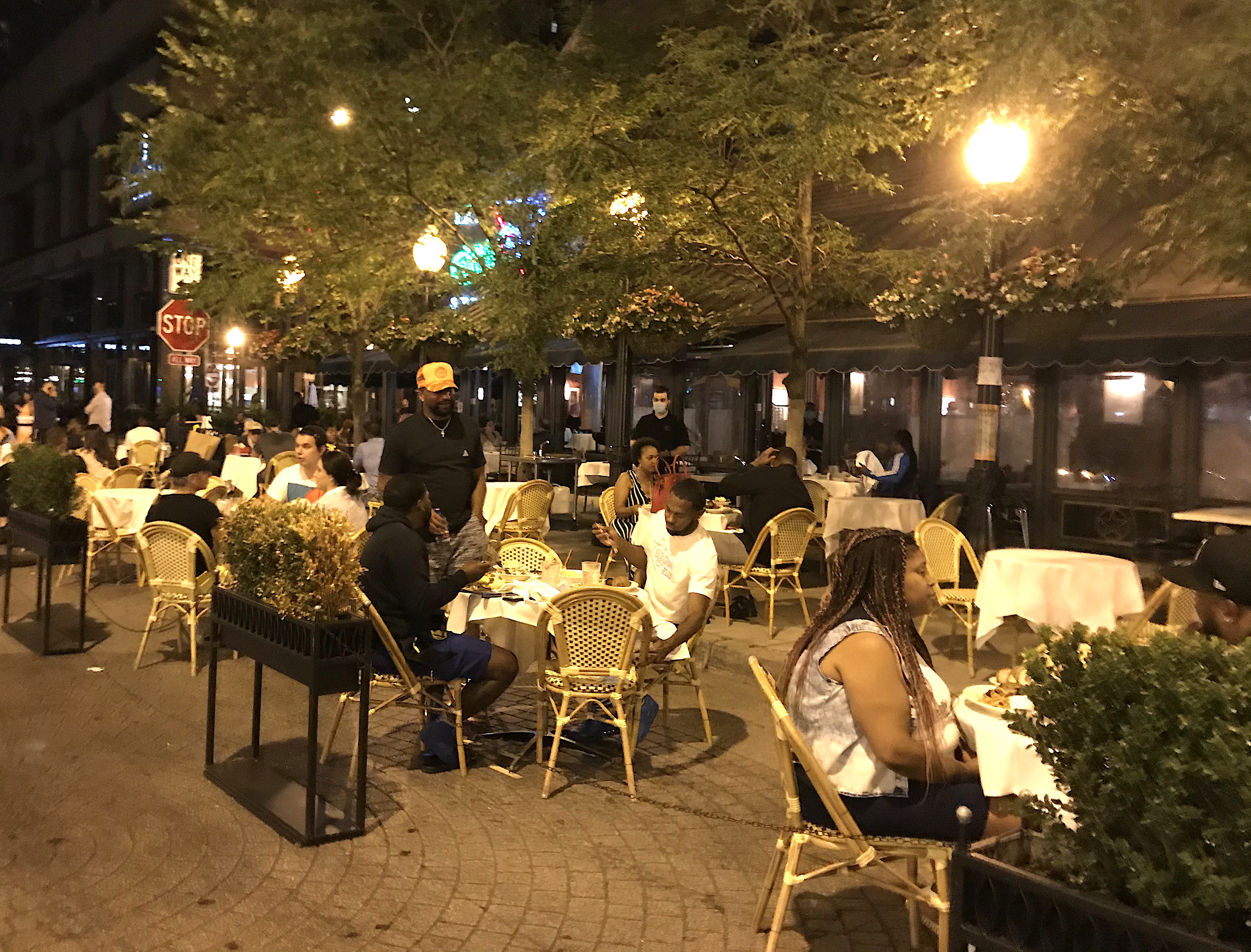
- Rush Street: Oak Street to Cedar Street; Bellevue Place: State Street to the first alley east of Rush; and Dearborn Street to State, in the Gold Coast.
- Cornelia Avenue: Southport Avenue east to the alley; Wellington Avenue: Southport west to the alley in Lakeview.
- Randolph Street: Service lanes pedestrianized from the Kennedy Expressway to Elizabeth Street in the West Loop.
- Balmoral Street: Pedestrianized on both sides of Clark Street in Andersonville.
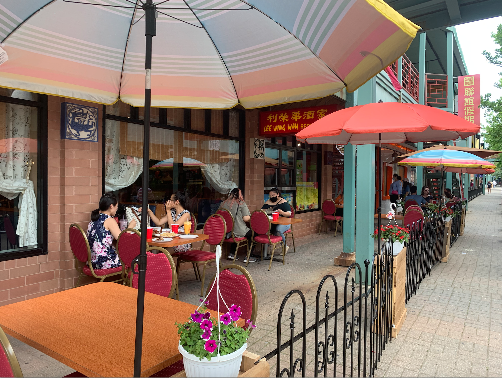
- Chinatown Square: Seating in the shopping arcade near Archer between Wentworth and Princeton avenues in Chinatown.
- Taylor Street: Loomis Street to Ashland Avenue; Laflin Street from the alley north of Taylor to the alley south of Taylor in Little Italy.
- Oliphant Avenue: Northwest Highway to the first alley to the north in Edison Park.
- 75th Street: Indiana to Calumet avenues in Grand Crossing (sidewalk dining only)
We’ve compiled the locations of Cafe Streets (purple), as well as proposed (red), approved (orange), and installed (green) Slow Streets, aka Share Streets, into the map below, which we're updating as new streets come into play.
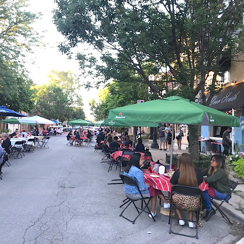
Sunday evening I dropped by several of the new Cafe Streets and, in general, they seemed to be doing brisk business. Here's Cornelia Avenue east of Southport around 6:30 p.m.
However, when I stopped by the outdoor seating area on Wellington west of Southport, it was empty of customers. The only restaurant adjacent to the seating is the S&G diner, which was either closed or hand no customers dining outside.
Lincoln Avenue between Wrightwood and Fullerton was very lively, but there was also plenty of room in the street for people walking and biking to pass by. That's important, because Lincoln is a key diagonal bike route.
On my way south, I passed by the intersection of Blue Island and Laflin Street. While this location is not a Cafe Street, a recent street reconfiguration project greatly enlarged the pedestrian space and made room for a vibrant outdoor dining scene.

The Heart of Italy Cafe Street, located on a side street, was especially serene. The car-free setting really reenforced the Old World ambiance of the historic Italian dining district.

On my way home, I stopped by Chinatown Place sometime after 9:30 p.m., but most of the restaurants seemed to be closed. However, the Chicago Chinatown Chamber of Commerce later provides photos that show how dining within the shopping arcade works.
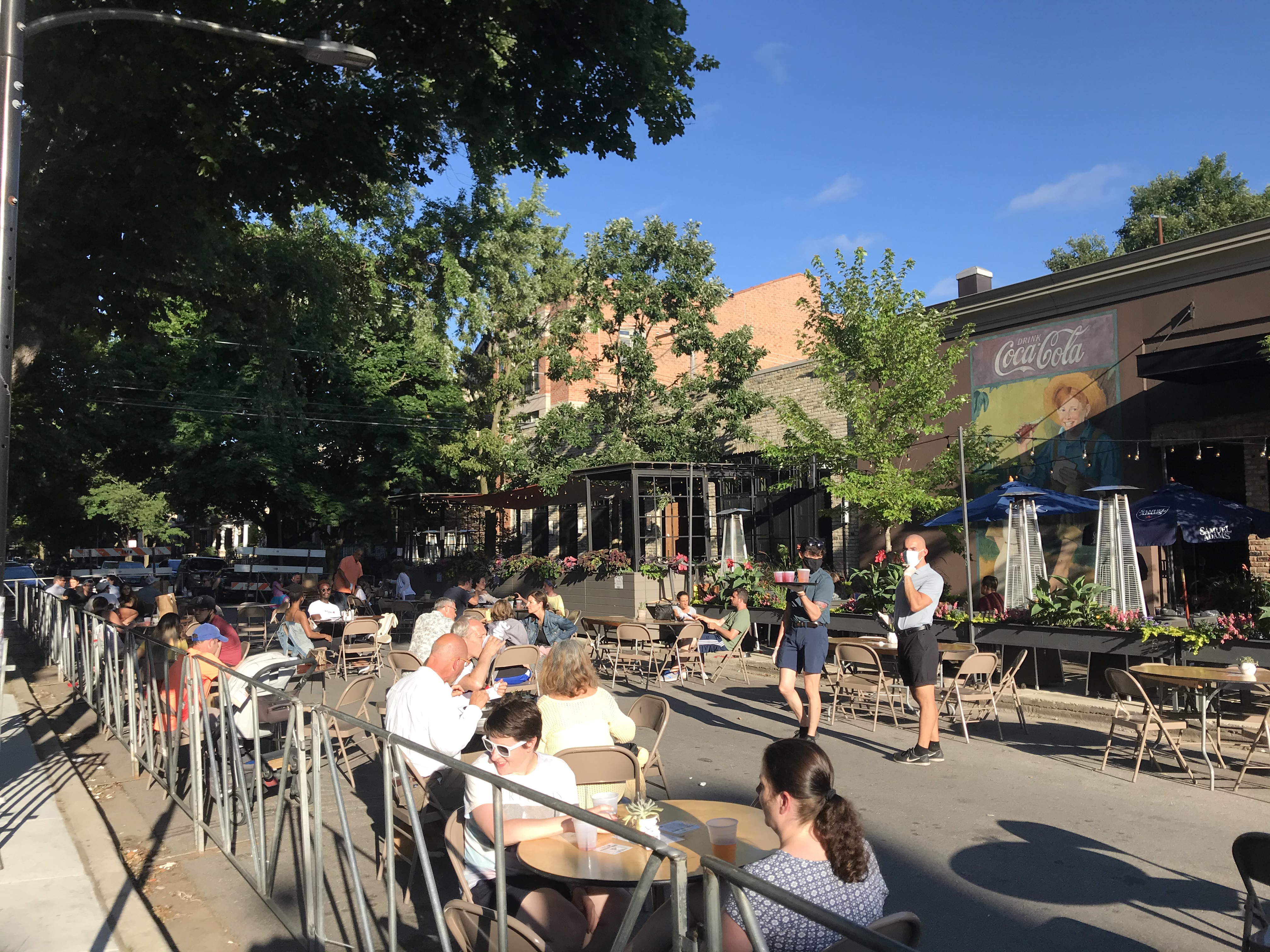
When I got to the Gold Coast a little before 10 p.m., the Rush cafe zone, including the new branch on Cedar, was still bustling.
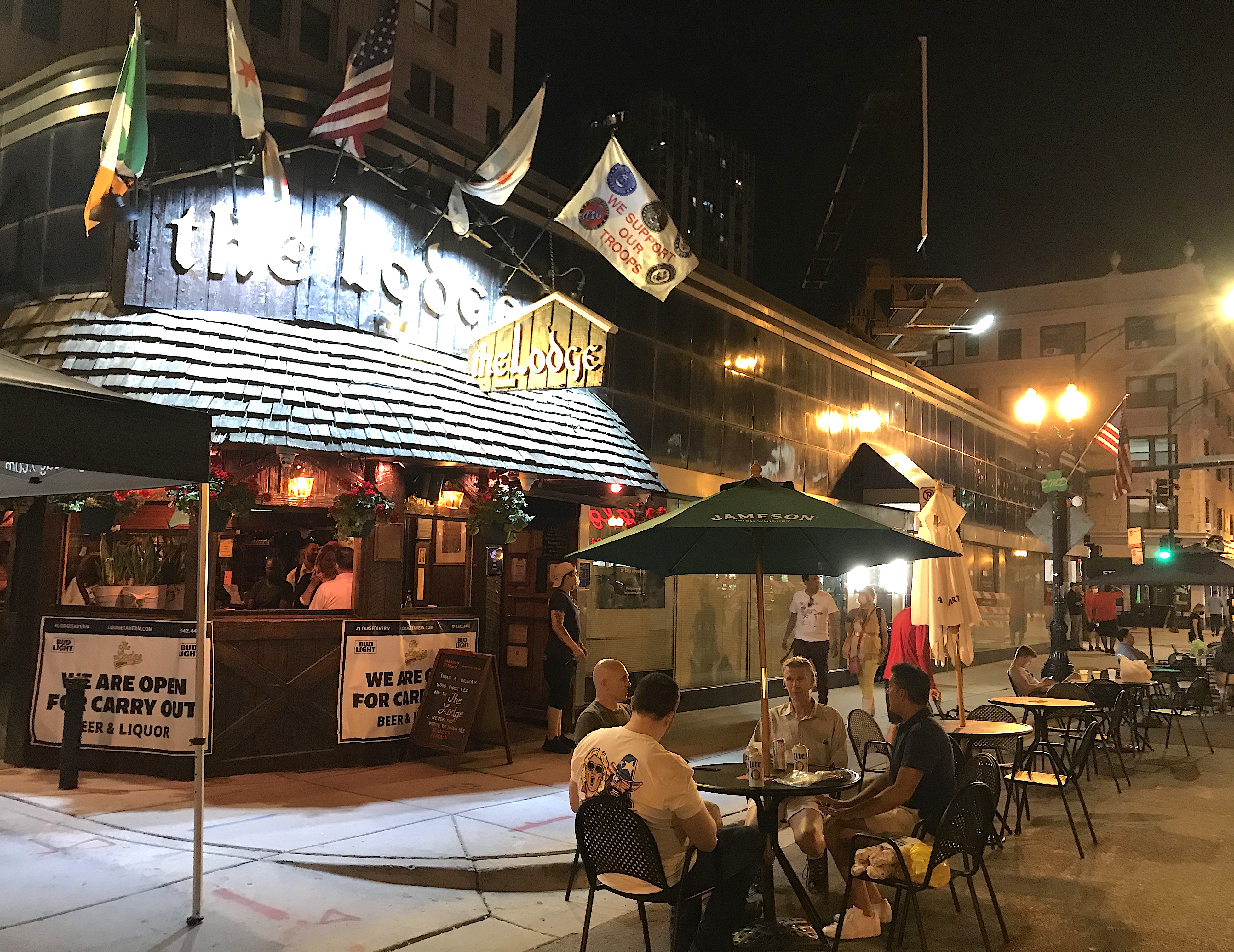
A couple blocks north on the Division Street frat bar strip, made notorious by David Mamet's play "Sexual Perversity in Chicago," things appeared to be winding down, but there were still a dozen or two people having a nightcap.
Chicago's Cafe Streets represents many different dining and drinking scenes, but they all have one thing in common: Taking away space from cars and making it available to people is providing a shot in the arm to the struggling hospitality industry, while allowing pandemic-weary residents to enjoy some nightlife in a safer outdoor setting.
Stay in touch
Sign up for our free newsletter
More from Streetsblog Chicago
Which Metra corridor would become more bike-friendly and greener under a new plan? Ravenswood!
Thanks to plans to convert little-used parking spaces, the avenue is slated to get a new bike lane, and the Winnslie Parkway path and garden will be extended south.


They can drive 25: At committee meeting residents, panelist support lowering Chicago’s default speed limit
While there's no ordinance yet, the next steps are to draft one, take a committee vote and, if it passes, put it before the full City Council.
One agency to rule them all: Advocates are cautiously optimistic about proposed bill to combine the 4 Chicago area transit bureaus
The Active Transportation Alliance, Commuters Take Action, and Equiticity weigh in on the proposed legislation.