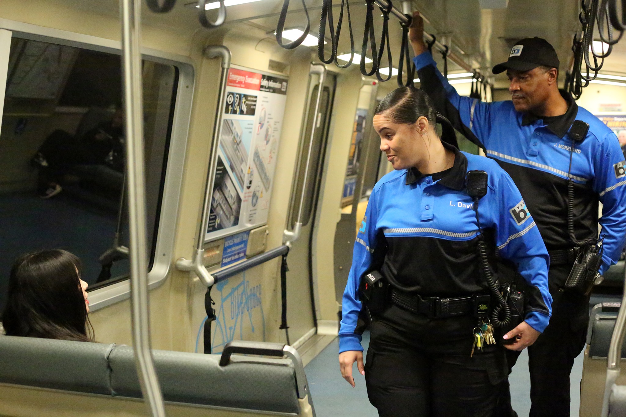
Eyes on the Street
RTA tries making stations safer with community events at 8 transit stops in Chicago, Joliet, and Maywood
Free programs at stations across the city and the region will help provide more "eyes on the street".
May 29, 2024
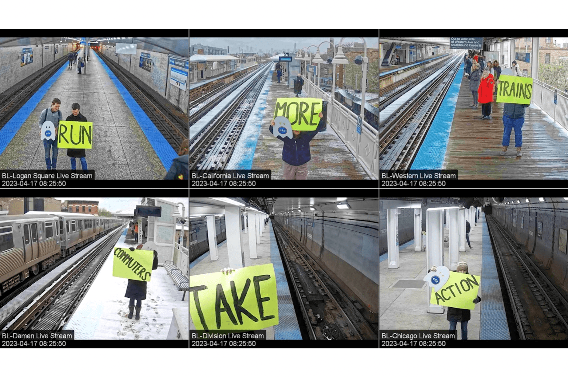
What if we applied the Transit Ambassadors model to create safe, orderly public spaces?
April 18, 2023
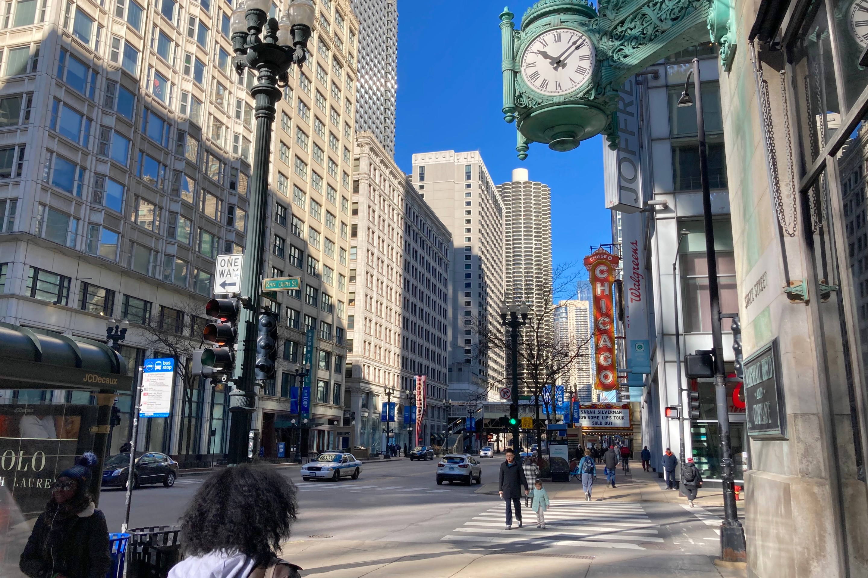
Chicago Loop Alliance report shows rising pedestrian activity downtown, and more driving
April 14, 2023
CDOT quietly relocated 16 ineffective speed cameras. What impact will that have on safety?
April 13, 2023