CDOT Has Been Busy Installing Bikeways This Spring
New buffered lane on Jackson from Halsted to Jefferson. Photo: CDOT
The sun is shining, the weather is reliably over 50 degrees Fahrenheit, and conditions are ideal for bicycling. It’s also prime time for laying thermoplastic pavement markings, so the Chicago Department of Transportation has been hustling to install new bike lanes and Neighborhood Greenways (residential street routes with contraflow bike lanes and traffic calming) in recent weeks. According to spokesman Mike Claffey, the department is working on a more comprehensive list of upcoming projects, but here’s a what's been done so far.
Baltimore Avenue (red line on map)
Buffered bike lanes were striped from Brainard to 130th as part of a street resurfacing project. Connects with existing non-buffered bike lanes on 130th from Baltimore (Hegewisch’s main retail street) to Saginaw.
Root Street (green line on map)
Non-buffered bike lanes were installed from Emerald to Wentworth as part of a resurfacing job. Located a block east of Halsted buffered lanes. Root is a handy street for crossing the Dan Ryan Expressway to the east.
Harrison Street (orange line on map)
Buffered lanes were put in between Loomis and Halsted as part of a resurfacing project, which also involved a road diet, reducing the number of travel lanes from four to two, which calms traffic. Connects with existing protected and buffered lanes on Harrison from Halsted to Wabash; buffered lanes on Halsted; and a short stretch of buffered lanes on Morgan from Harrison to Van Buren.
Jackson Boulevard (purple line on map)
A buffered lane was installed from Halsted to Jefferson, presumably as part of a resurfacing project. Extends buffered and protected lanes on Jackson east towards Loop and connects with a protected lane on Des Plaines.
Milwaukee Avenue (blue line on map)
Buffered lanes were striped on Milwaukee from Addison to Irving Park, which involved stripping 92 parking spaces from one side of the street. (Meanwhile Metra is spending $1.2 million, mostly from federal Congestion Mitigation and Air Quality Improvement funds, ironically enough, to build 68 parking spots at the adjacent Grayland stop.) Shared-lane markings were marked from Irving Park to Lawrence. The bikeway is funded by 45th Ward menu money; the project was elected as part of the ward’s participatory budgeting election.
Glenwood Greenway (yellow line on map)
A southbound contraflow bike lane was painted from Ridge to Foster, along with shared-lane markings on Glenwood from Ridge to Carmen, and on Carmen from Glenwood to Broadway. This legalizes an already-popular southbound route and connects with buffered bike lanes on Broadway. The project was paid for with 48th Ward menu funds.
Interestingly, it appears that none of these new bikeways were funded by federal CMAQ grants, which are a common source of Chicago bike lane funding. This suggests that CDOT may be waiting for approval of grants for other bike lanes. If that’s the case, we should be hearing about some more planned bike lanes after the funding is approved.
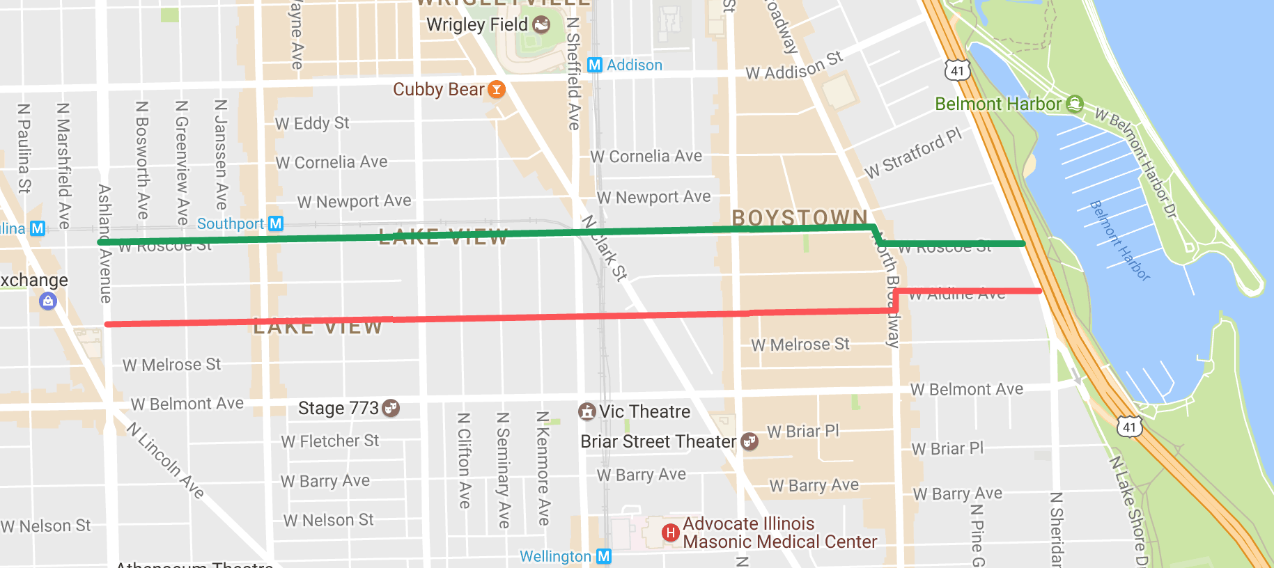
In addition, Streetsblog reader Elliot Friedman tells us that last month at the Central Lakeview Neighbors meeting, 44th Ward alderman Tom Tunney announced that an eastbound bike lane, including green road markings, will be installed on School/Aldine (3300 North) from Ashland to Lake Shore Drive, near the Roscoe underpass to the Lakefront Trail. The alderman added that a westbound lane will be put in on Roscoe, a block north, from LSD to Ashland, and the project should be done by the end of the year, according to Friedman.
Neither the ward nor CDOT has confirmed this yet, but this couplet of one-way streets is already a great low-stress route to and from the lakefront. (Note to self: Add this to the Mellow Chicago Bike Map.) But marking these streets with bike lanes and adding them to the city’s official bike map would help get the word out about the route, as well as calming traffic on these streets. The bike lanes would connect to existing north-south bike lanes on Southport, Lincoln, and Halsted, as well as the Lakefront Trail.
If you take a spin on some of the newly striped bikeways outlined above, let us know what you think in the comments section.

Read More:
Stay in touch
Sign up for our free newsletter
More from Streetsblog Chicago
Today’s Headlines for Friday, April 19

Tasty news: Friedman Properties is trying to break the Clark outdoor dining stalemate by applying for street closure permits
Mayor Johnson's administration and Ald. Reilly haven't yet found common ground on bringing back the popular car-free zone. Will this make the difference?

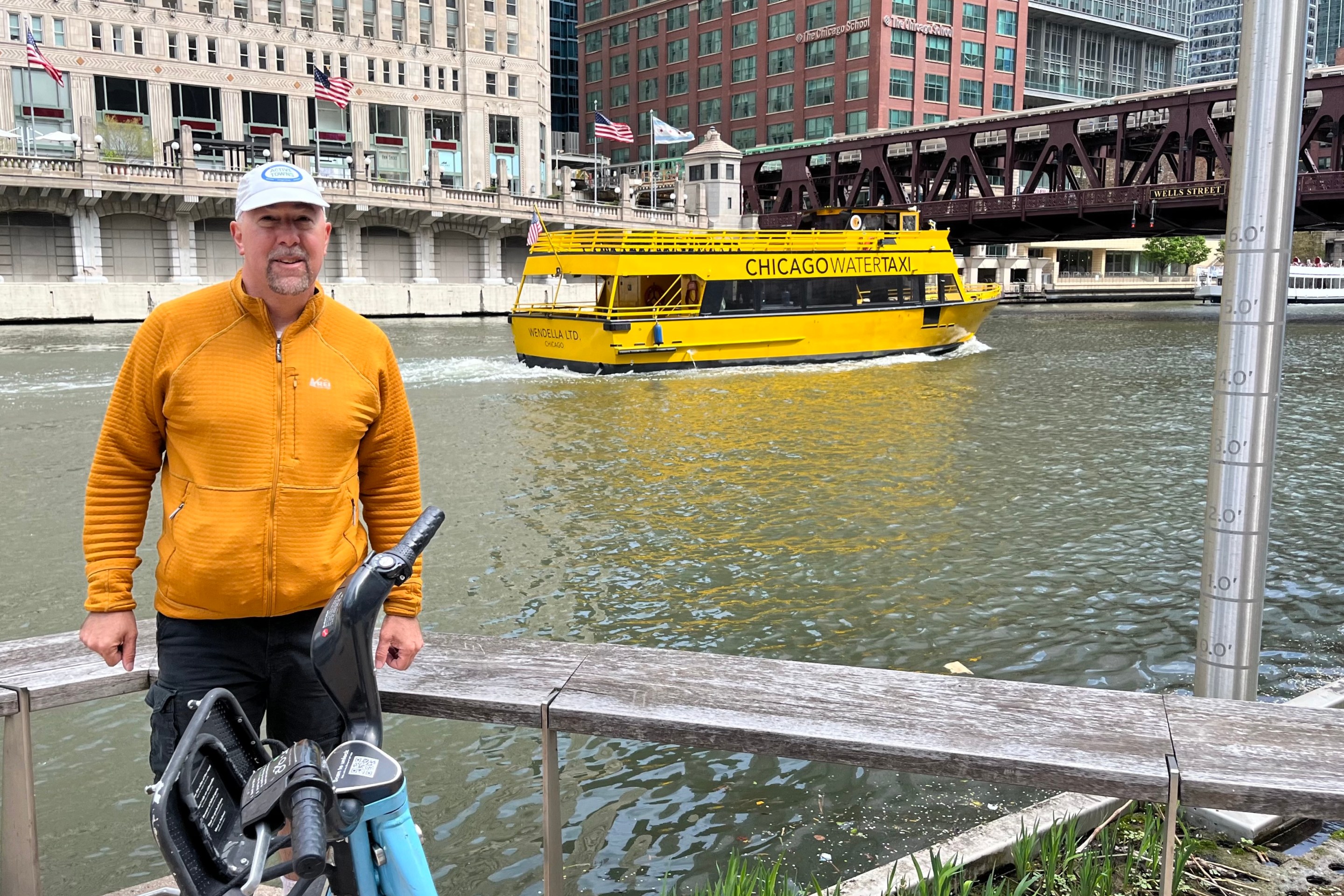
Roger that! Streetsblog SF editor Roger Rudick offers constructive criticism of Chicago’s downtown bike network
"There were blocks that felt very safe and very secure," he said. "But then you're immediately – voom! – disgorged into three lanes of moving traffic with no protection."