CNT’s “AllTransit” Tool Can Help Legislators Understand Transit Needs

A new tool shows just how much advantage residents in some Illinois cities might have over others accessing jobs with low-cost transit, and just how much difference state legislators could make if they chose to fund more transit. AllTransit, an analysis tool from the Center for Neighborhood Technology and TransitCenter (a Streetsblog Chicago funder), shows information about access to transit that residents and job seekers have in any part of the United States, using data about transit service, demographic information, and job locations.
CNT project manager Linda Young told me those Springfield legislators can use the tool to understand the quality of transit their constituents have access to. They can also compare their districts to those of their fellow elected officials. For example, Illinois state representative Mike Quigley would see that AllTransit gives his 5th district the highest score in Illinois, and, unexpectedly, the 22nd district, covering East St. Louis, Illinois, and parts south, represented by Mike Bost, is second. The 9th district covering northern Chicago, Evanston, and parts of northwest Cook County, and represented by Jan Schakowsky, comes in third.
While aldermen may also find it useful to see the plethora or lack of transit options their constituents have, the info isn't broken down by Chicago wards. However, it is possible to search by ZIP code.
Young added that elected officials might also be interested to see how many jobs people who live in designated affordable housing can they get to within 30 minutes. "We see more and more that people are wanting to live in areas where there's mixed uses and transit access," she said.
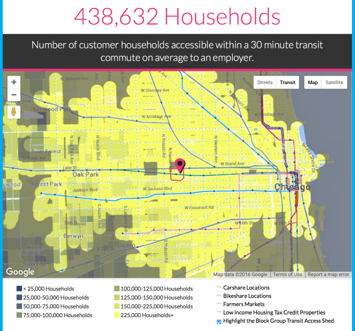
Business owners can also benefit from AllTransit info since it can them how many people can access their business within a certain amount of time. If you look at the Inspiration Kitchens restaurant in East Garfield Park at 3504 West Lake, AllTransit reports that there are 438,632 "customer households" within a 30-minute transit commute.
AllTransit builds on earlier CNT research which found that people need to consider transportation costs when deciding what housing they can afford. Where a person lives plays a major role in determining transportation costs. That research led to CNT's Housing and Transportation Affordability Index, which shows the sum of housing and estimated transportation costs per household by census tract.
Recent research suggests that a person is more likely to take transit to their job if their job is close to transit than if their home is close to transit. That means mayors and planners should ensure that either companies create jobs near transit, or else transit is extended to where existing job centers are.
A rule of thumb about housing costs has been that a household is cost-burdened if their housing costs exceed 30 percent of their income, or if housing and transportation costs exceed 40 percent of their income. This rule has issues, not the least of which is that a person earning $25,000 who spends 40 percent of his or her income on housing and transportation costs has a lot less money left over than someone who earns $75,000.
Young said that back in 2007, when the Housing and Transportation Index was created, transit data wasn't readily available electronically, especially information on frequency of service. "Frequency is one of the key factors that determines whether people use transit," she said. A couple of years later, she said, Google added transit info on its maps and more agencies started publishing their data using Google's new standard.
Currently AllTransit has data from 805 agencies in the United States, including 19 transit agencies in Illinois, as well as intercity bus lines often used by university students. In a future phase, Young said, AllTransit should be able to count people, jobs, and transit service accessible within 45 and 60 minutes of a given location.
![]()
Did you appreciate this post? Streetsblog Chicago is currently funded until April 2016. Consider making a donation through our PublicGood site to help ensure we can continue to publish next year.
Read More:
Stay in touch
Sign up for our free newsletter
More from Streetsblog Chicago
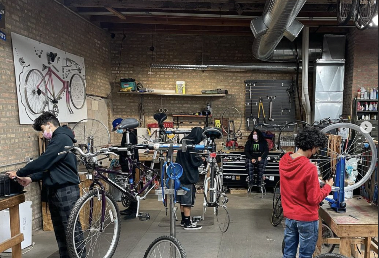
Communities United: Reports of Bikes N’ Roses’ death have been greatly exaggerated
According to the nonprofit shop's parent organization, BNR has paused its retail component, but is still doing after school programming and looking for new staff.


Pressure is mounting to replace embattled CTA President Dorval Carter
Here's a look at what elected officials and other media outlets have said about the issue recently.
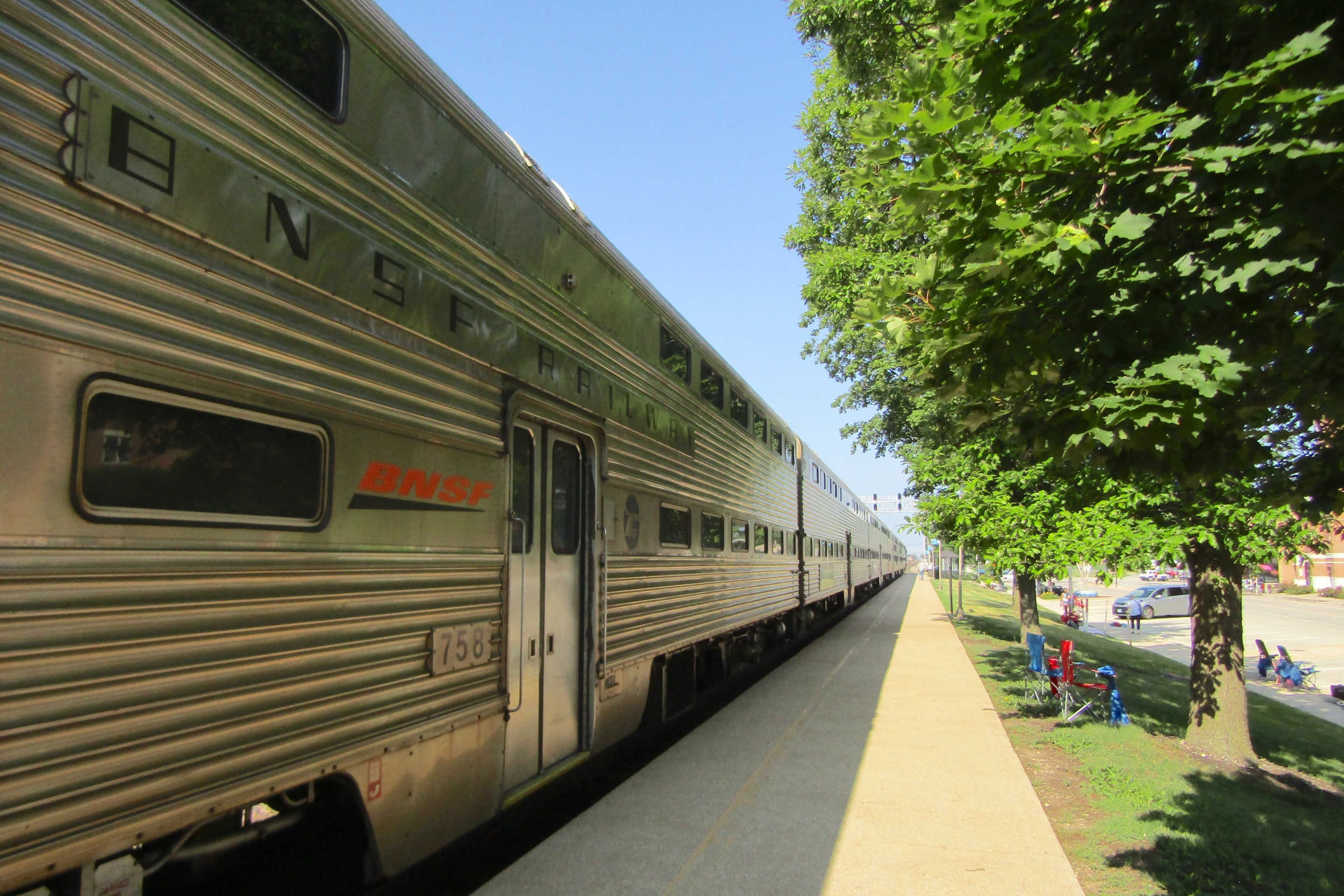
Service boost means BNSF Line will get Metra’s first-ever across-the-board weekend schedule, starting April 29
In addition, Halsted Street station will get weekend service, and Downers Grove's Fairview stop will become an off-peak stop.