A New Blueprint for Streets That Put Transit Front and Center

The National Association of City Transportation Officials has released a new design guide to help cities prioritize transit on their streets.
How can cities integrate bus rapid transit with protected bike lanes? How can bus stops be improved and the boarding process sped up? How should traffic signals be optimized to prioritize buses? The Transit Street Design Guide goes into greater detail on these questions than NACTO's Urban Street Design Guide, released in 2013.
Before the publication of this guide, city transportation officials looking to make streets work better for transit still had to hunt through a few different manuals, said NACTO's Matthew Roe.
"The kinds of problems that the guide seeks to solve are exactly the kinds of design problems and questions that cities are trying to solve," said Roe. "How do you get transit to get where it’s going quicker, without degrading the pedestrian environment? Some of that has to do with the details of design."
For example, the guide lays out how to design boarding areas where buses can pick up passengers without pulling over to the curb and then waiting to reenter traffic -- which can slow service considerably.

Many of the finer points in the guide involve making transit-priority streets that also work well for walking and biking. The image below, for instance, shows the intersection of a sidewalk-grade two-way bike lane with the pedestrian approach to a bus stop.

"Transit has to run in the place where everyone wants to be," said Roe. "It has to be right through where everybody wants to be. To create transit streets that are living streets and active streets is something that people really struggle with."
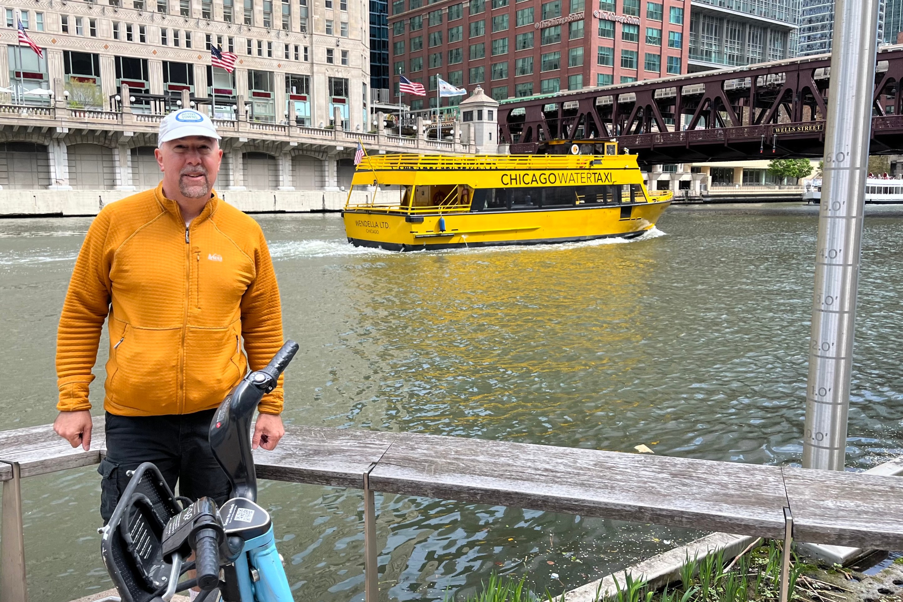
He said Loop Link in Chicago "truly exemplifies" that kind of street design. "Instead of pushing bikes and transit off to the side you make them the centerpiece."

Following the release of the guide, NACTO will be working directly with three selected cities -- Denver, Indianapolis, and Oakland -- on a "Transit Accelerator Program," customized assistance to bring better transit streets to fruition.
The full Transit Street Design Guide can be purchased from Island Press.
Read More:
Stay in touch
Sign up for our free newsletter
More from Streetsblog Chicago
Roger that! Streetsblog SF editor Roger Rudick shares his impressions of the Loop’s transportation scene
"Like so many cities, Chicago is obviously a work in progress," he noted.


City announces $2M federal grant to address harms caused by I-290 by improving walk/bike/transit access
The Mayor's Office says the money will fund "improvements for people walking and bicycling on existing streets and paths surrounding and crossing the corridor."
Today’s headlines for Tuesday, April 16
CDOT reveals that it spent nearly $700K to install concrete protection on Doty bike lanes, and then remove it
Some of the former Doty bikeway curb protection was relocated to CDOT projects at Broadway/Aldine and on Wrightwood.