Bus Transit
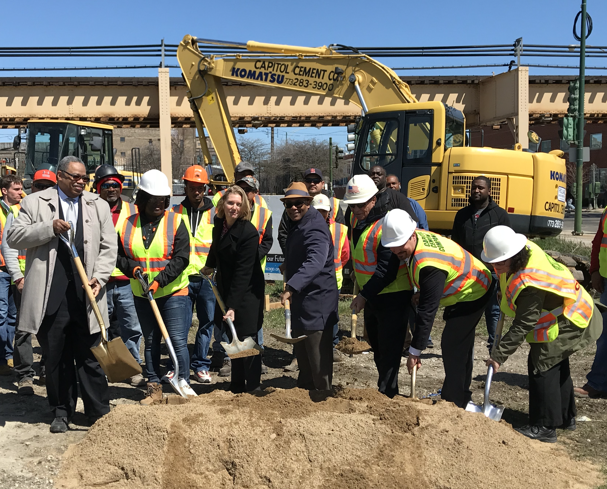
“Transit Explorer” Map Shows Nine Upcoming Transit Projects in Chicagoland
By Steven Vance
Stay in touch
Sign up for our free newsletter
More from Streetsblog Chicago
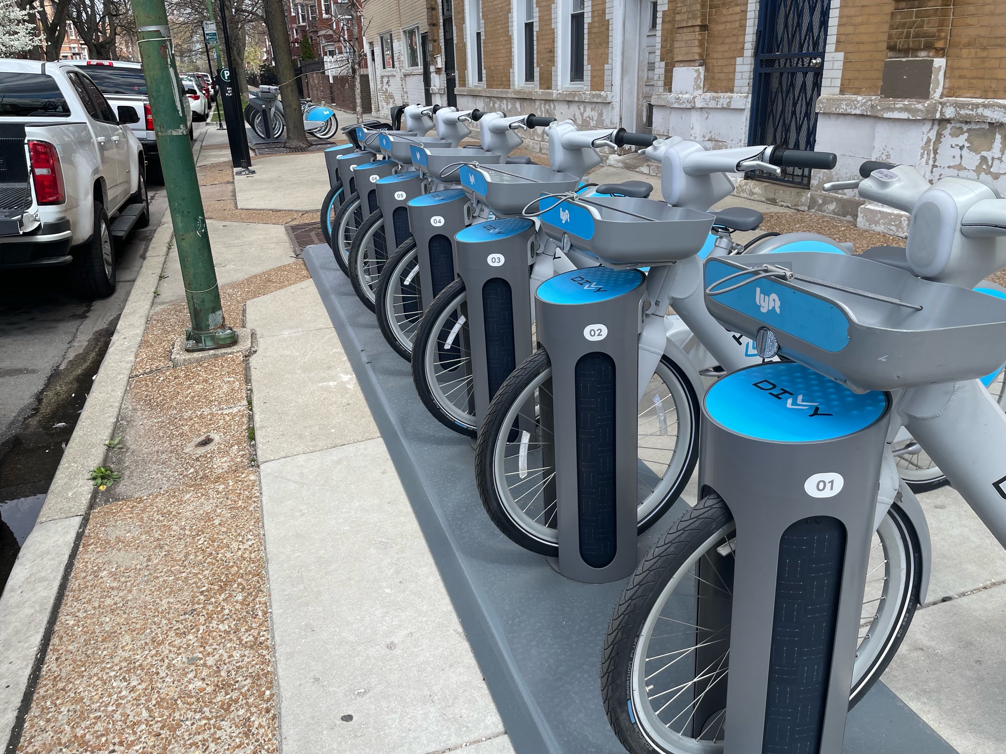
It’s electric! New Divvy stations will be able to charge docked e-bikes, scooters when they’re connected to the power grid
The new stations are supposed to be easier to use and more environmentally friendly than old-school stations.
April 24, 2024
Today’s Headlines for Tuesday, April 23
April 23, 2024


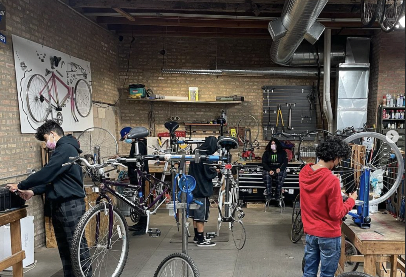
Communities United: Reports of Bikes N’ Roses’ death have been greatly exaggerated
According to the nonprofit shop's parent organization, BNR has paused its retail component, but is still doing after-school programming and looking for new staff.
April 22, 2024
Pressure is mounting to replace embattled CTA President Dorval Carter
Here's a look at what elected officials and other media outlets have said about the issue recently.
April 19, 2024