A Blank Slate: Wells St. Extension Can Embody CDOT’s New Values

The Chicago Department of Transportation has a rare clean-slate opportunity to design a Street of Dreams -- a street that incorporates many leading-edge safety features. That opportunity is phase three of their Wells-Wentworth Connector between Chinatown and the South Loop, a future southward extension of Wells Street that longtime South Loop resident Dennis McClendon calls "Riverside Boulevard."
There, CDOT will build a new street from the ground up, plus "people places" infrastructure that will enhance the long-term future development potential of the South Loop's long-vacant Riverside District tract. CDOT has an opportunity to create a safe street and great place even before the first resident moves in, provided that it embraces recent innovations in street design and a comprehensive and open planning and design process.
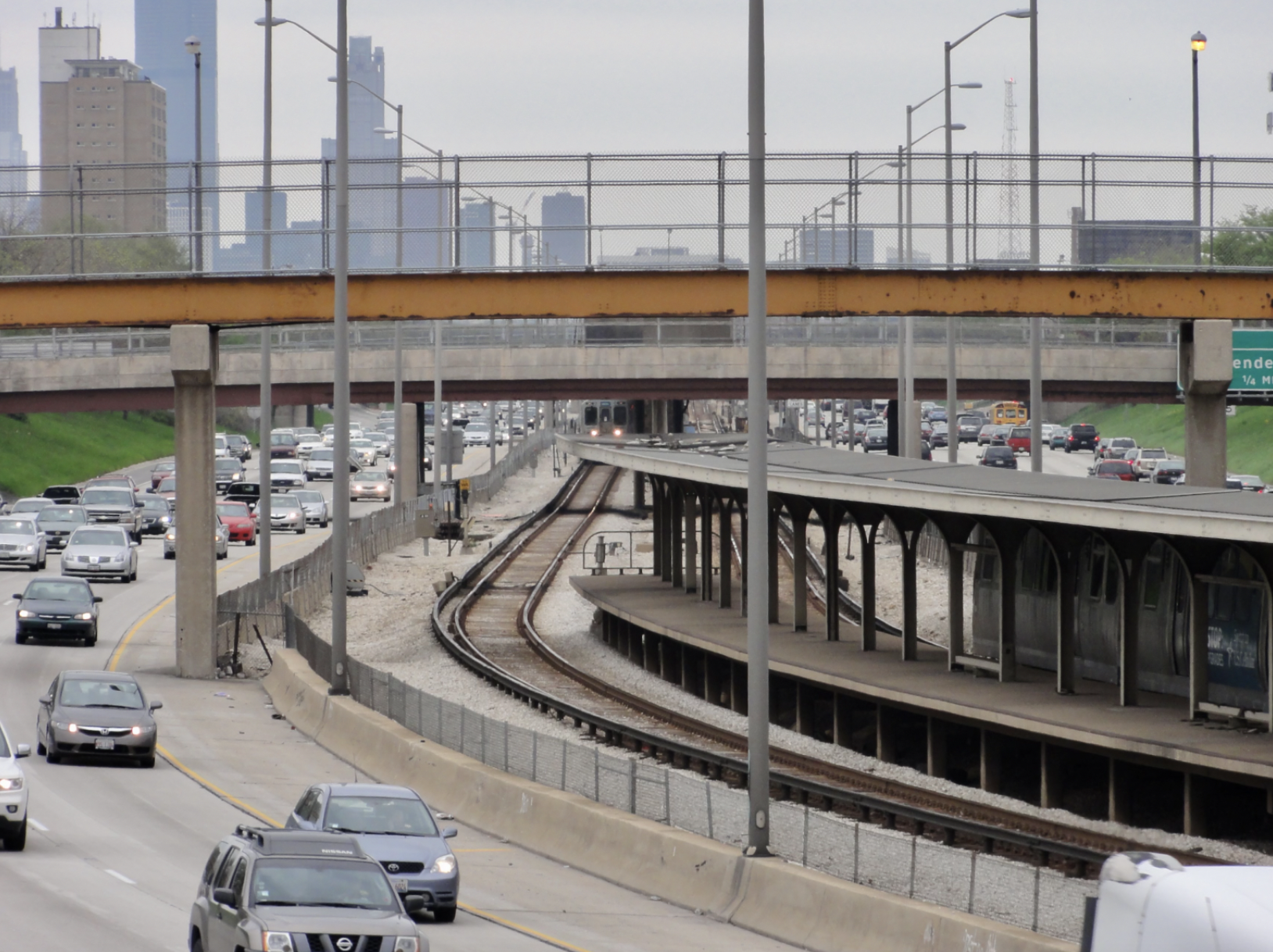
The Wells-Wentworth Connector's first two phases will add more space for pedestrians and bicyclists along the northern end of Chinatown's main street, and straighten out the confusing intersection where Cermak, Wentworth, and the Dan Ryan off-ramps meet. Its third and final phase consists of a new road traversing north-south through the former railyard that Tony Rezko once owned, a 62-acre site bounded by Roosevelt, 16th, Clark, and the South Branch. The road is intended to jump-start the city's redevelopment plan for that property (which, even though it's less than one mile from the Loop, has been vacant ever since it was reclaimed from the river in 1930), and to improve street safety in Chinatown.
This new main street for the Riverside District can embody the new philosophies CDOT has embraced under Mayor Rahm Emanuel's administration. The street can be designed from the start as a complete street that gives vulnerable users like pedestrians and cyclists generous room and comfortable spaces. It can embrace Vision Zero and include redundant features that minimize speeds and eliminate conflicts. It should be an integral element of placemaking along the riverfront, bringing people to new spaces where people can linger, relax, and shop -- which will increase the land's value, both to developers and to the city.
Since there are no existing constraints on the street right of way, and a potentially generous budget from local TIFs, CDOT has a chance to prototype many safety ideas that have been suggested before, but discarded for various reasons. For example, there aren't yet neighbors, or a parking meter operator, who can object to removing on-street parking or loading spaces. Prototyping new designs here can prove that they work safely, and make it possible to replicate them elsewhere later.
Imagine, for example, a Dutch-style roundabout – with cycle tracks around the outside edge, instead of bike lanes within it – to welcome traffic into the development. A roundabout can handle just as much as bike and vehicle traffic as a signalized intersection, but without requiring everyone to come to a stop.

Inside the development, streets could have cycle tracks separated from and above the parked cars, between the road and sidewalk. At interior intersections, the cycle track would shift a bit further away from the road, providing room for a driver to wait to turn right. City planners could dedicate space for Divvy docks in advance of development.
When walking across alleys, driveways, and even smaller streets, the sidewalk could stay at the curb-height level – a design CDOT has started implementing when rebuilding sidewalks. In fact, people could walk at sidewalk level across raised intersections (also known as "speed tables"), which slow down drivers. If the drivers go sufficiently slowly, those intersections wouldn’t even need stop signs. A new riverside esplanade could feature a food truck dock, with a water view, seating, and electric hook ups so that trucks won't need noisy generators.
Riverside Boulevard is a rare opportunity within the mostly built-out central city to shape public space in great detail, and to shape the daily lives of thousands. The people who will live and work in, or near, the new development will use the new route to traverse the Near South Side, whether to get to the Mercantile Exchange at its north end or to Ping Tom Park at its south end. In addition, the new street should be an inviting route for South Siders who feel unsafe along the alternative routes -- the Clark and State Street speedways just a few blocks east.
The public planning process that led to the Bloomingdale Trail design is a model to emulate here. Transforming the former railroad into a linear park will benefit tens of thousands of people in neighborhoods along the line -- but even more so if those residents have a say. CDOT hired a great collection of design and planning firms, who worked closely and transparently with both future users and adjacent property owners.
Currently, the Department of Planning and Development is working to acquire the Riverside District property, and will use Tax Increment Financing funds (available since the South Loop has developed faster than expected) to plan new development on the site. The entire property is in the 25th Ward, and we've heard that Alderman Danny Solis is interested in running the planning process himself. Let him know that the public must be involved throughout the process, and that the inclusive attitude of the team behind the Bloomingdale Trail can inspire planning for the Riverside District.
Stay in touch
Sign up for our free newsletter
More from Streetsblog Chicago
Tasty news: Friedman Properties is trying to break the Clark outdoor dining stalemate by applying for street closure permits
Mayor Johnson's administration and Ald. Reilly haven't yet found common ground on bringing back the popular car-free zone. Will this make the difference?
Today’s Headlines for Thursday, April 18


Roger that! Streetsblog SF editor Roger Rudick offers constructive criticism of Chicago’s downtown bike network
"There were blocks that felt very safe and very secure," he said. "But then you're immediately – voom! – disgorged into three lanes of moving traffic with no protection."
City announces $2M federal grant to address harms caused by I-290 by improving walk/bike/transit access
The Mayor's Office says the money will fund "improvements for people walking and bicycling on existing streets and paths surrounding and crossing the corridor."