Cook County Seeks Feedback on First Transportation Plan Since 1940
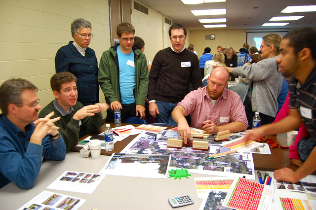
Cook County has begun the process of creating its first transportation plan since its 1940 highway plan. The Cook County Department of Transportation and Highways is collecting feedback from residents on present and future transportation needs.
"Connecting Cook County" launched late last month, and the long-range transportation plan will guide Cook County’s investments. Cook County President Toni Preckwinkle said in a statement, "We can no longer continue to make one-off transportation investments. We need a coherent strategy."
The planning process, to be completed in 18 months, is led by the Transportation and Highway Department (which didn’t always have "transportation" in its name) alongside an advisory committee with local transit advocacy heavyweights, including MarySue Barrett of the Metropolitan Planning Council and Jacky Grimshaw of the Center for Neighborhood Technology.
The county’s online survey uses the now-familiar MetroQuest platform where residents can pin ideas and note problem areas on a map. A couple of Streetsblog readers who’ve taken the survey told us that it would be easier for them to send feedback if they knew which roads were under the county’s jurisdiction. I passed along that information to one of the planners and created a map in the meantime.
The Chicago Transit Authority, Metra, Pace, and the Chicago Department of Transportation will all be part of the planning process.
Streets under county jurisdiction include the Fullerton Avenue speedway west of Sacramento, Western Avenue, most of Ashland Avenue, and portions of several smaller streets.
Read More:
Stay in touch
Sign up for our free newsletter
More from Streetsblog Chicago

Legendary Chicago bicycle traveler and writer George Christensen killed by truck driver in South Carolina


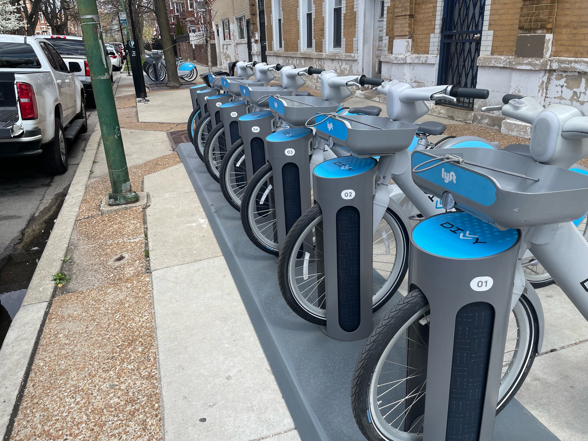
It’s electric! New Divvy stations will be able to charge docked e-bikes, scooters when they’re connected to the power grid
The new stations are supposed to be easier to use and more environmentally friendly than old-school stations.
Today’s Headlines for Tuesday, April 23
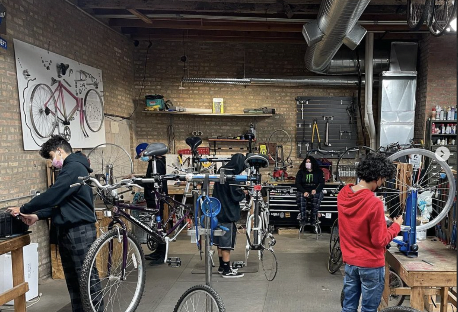
Communities United: Reports of Bikes N’ Roses’ death have been greatly exaggerated
According to the nonprofit shop's parent organization, BNR has paused its retail component, but is still doing after-school programming and looking for new staff.